File:Populationmap166.png
From YATA Wiki
Jump to navigationJump to search
Size of this preview: 719 × 600 pixels. Other resolutions: 2,456 × 2,048 pixels | 4,808 × 4,010 pixels.
Original file (4,808 × 4,010 pixels, file size: 293 KB, MIME type: image/png)
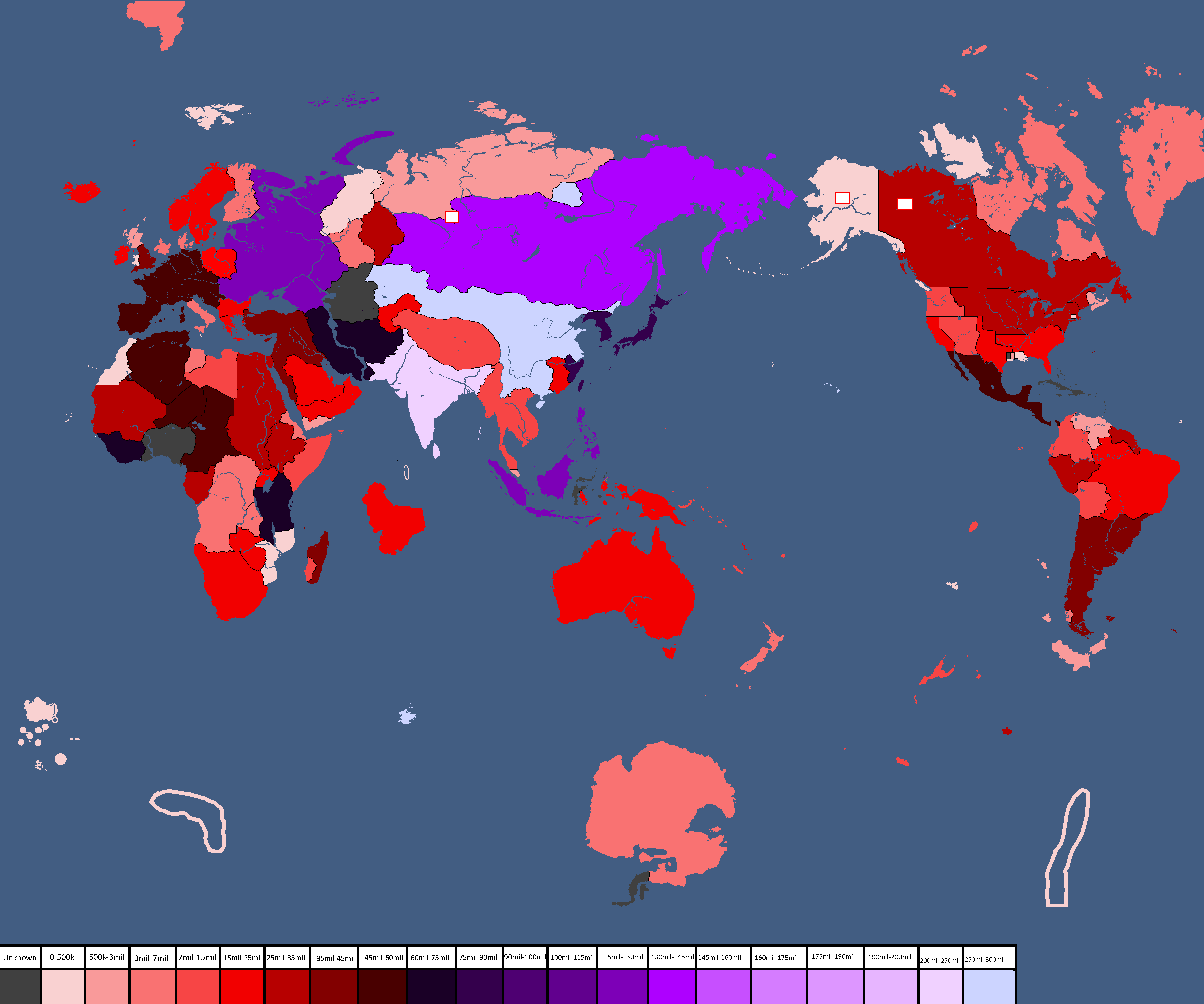
EUROPE:
Highest - Luvakhia
Lowest - Luvamatrilia
ASIA:
Highest - Sizzle
Lowest - Yamalia
Africa:
Highest - Libatria
Lowest - Wapistan
Antartica:
*Only known population is denasola/asophania
Oceania:
Highest - Luxuria
Lowest - Floria
North america:
Highest - Sipedro
Lowest - Torium
South america:
Highest - Argentina
Lowest - Lustland
File history
Click on a date/time to view the file as it appeared at that time.
| Date/Time | Thumbnail | Dimensions | User | Comment | |
|---|---|---|---|---|---|
| current | 21:35, 30 April 2025 | | 4,808 × 4,010 (293 KB) | Hakced (talk | contribs) |
You cannot overwrite this file.
File usage
The following page uses this file: