List of Maps: Difference between revisions
No edit summary |
No edit summary |
||
| Line 24: | Line 24: | ||
europedensity.png|Europe's Population Density: Year 115 | europedensity.png|Europe's Population Density: Year 115 | ||
yataifitwasgood.png|"Yata if it was good" meme: Year 116 | yataifitwasgood.png|"Yata if it was good" meme: Year 116 | ||
africancoldwar.png|African Cold War: Year 117 | |||
yatacountryballs.png|Yata Countryballs Map: Year 117 | |||
uqlsraundzerwar.png|Hypothetical War between the [[UQSR]] and [[Aundzer Alliance]]: Year 117 | |||
africaoverlay.png|Africa Overlay: Year 117 | |||
</gallery> | </gallery> | ||
== National Maps == | == National Maps == | ||
| Line 47: | Line 51: | ||
humambocolonies.png|Homeland & Colonies of Humambo: Year 115 | humambocolonies.png|Homeland & Colonies of Humambo: Year 115 | ||
</gallery> | </gallery> | ||
===Isernotarian Maps=== | |||
<gallery> | |||
isernotarianationscb.png|Isernotarian Constituent Nations: Year 116 (Countryballs) | |||
isernotarianations.png|Isernotarian Constituent Nations: Year 116 | |||
===Islandian Maps=== | ===Islandian Maps=== | ||
<gallery> | <gallery> | ||
| Line 109: | Line 117: | ||
yetiacitydistricts.png|Districts of Yetia City: Year 114 | yetiacitydistricts.png|Districts of Yetia City: Year 114 | ||
yetialanguages2.png|Yetian Languages: Year 115 | yetialanguages2.png|Yetian Languages: Year 115 | ||
yetiaprovinces3.png|Yetian Provinces: Year 119 (Countryballs) | |||
yetiaprovinces3b.png|Yetian Provinces: Year 119 | |||
yetiaprovinces3c.png|Yetian Provinces: Year 119 (Nameless) | |||
</gallery> | |||
===Yorican Maps=== | |||
yoricastates.png|Yorican States: Year 117 | |||
yoricaoverlay.png|Yorica Overlay: Year 117 | |||
</gallery> | </gallery> | ||
[[Category:Maps]] | [[Category:Maps]] | ||
[[Category:Lore]] | [[Category:Lore]] | ||
[[Category:Countries]] | [[Category:Countries]] | ||
Revision as of 11:31, 23 April 2025

Work in Progress pages are pages that haven't been finished yet, leaving them with only spare and incomplete content. Please help by completing it!
International Maps
Yatan Maps
-
Lost Archives Map: 1
-
Lost Archives Map: 2
-
Lost Archives Map: 3
-
Lost Archives Map: 4
-
Lost Archives Map: 5
-
Lost Archives Map: 6
-
Lost Archives: Nuclear Test Map
-
-
What Quatritonia calls the world
-
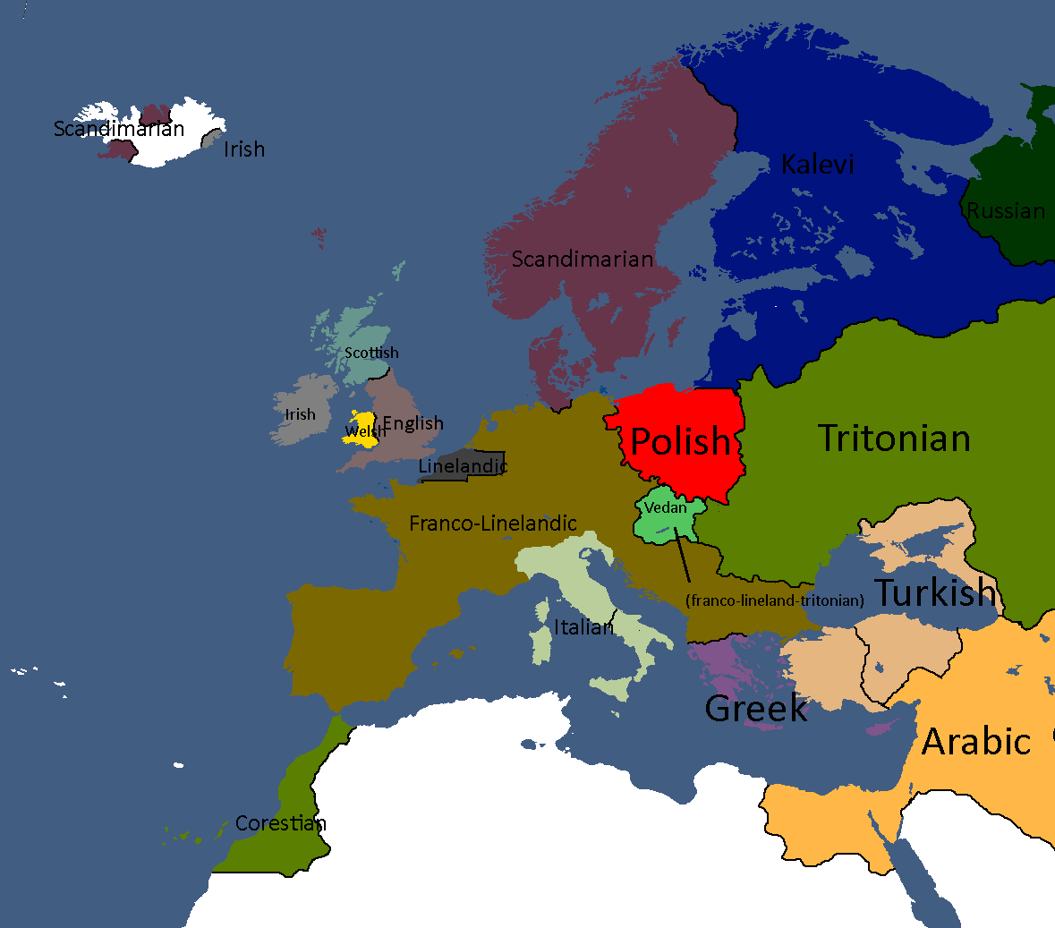
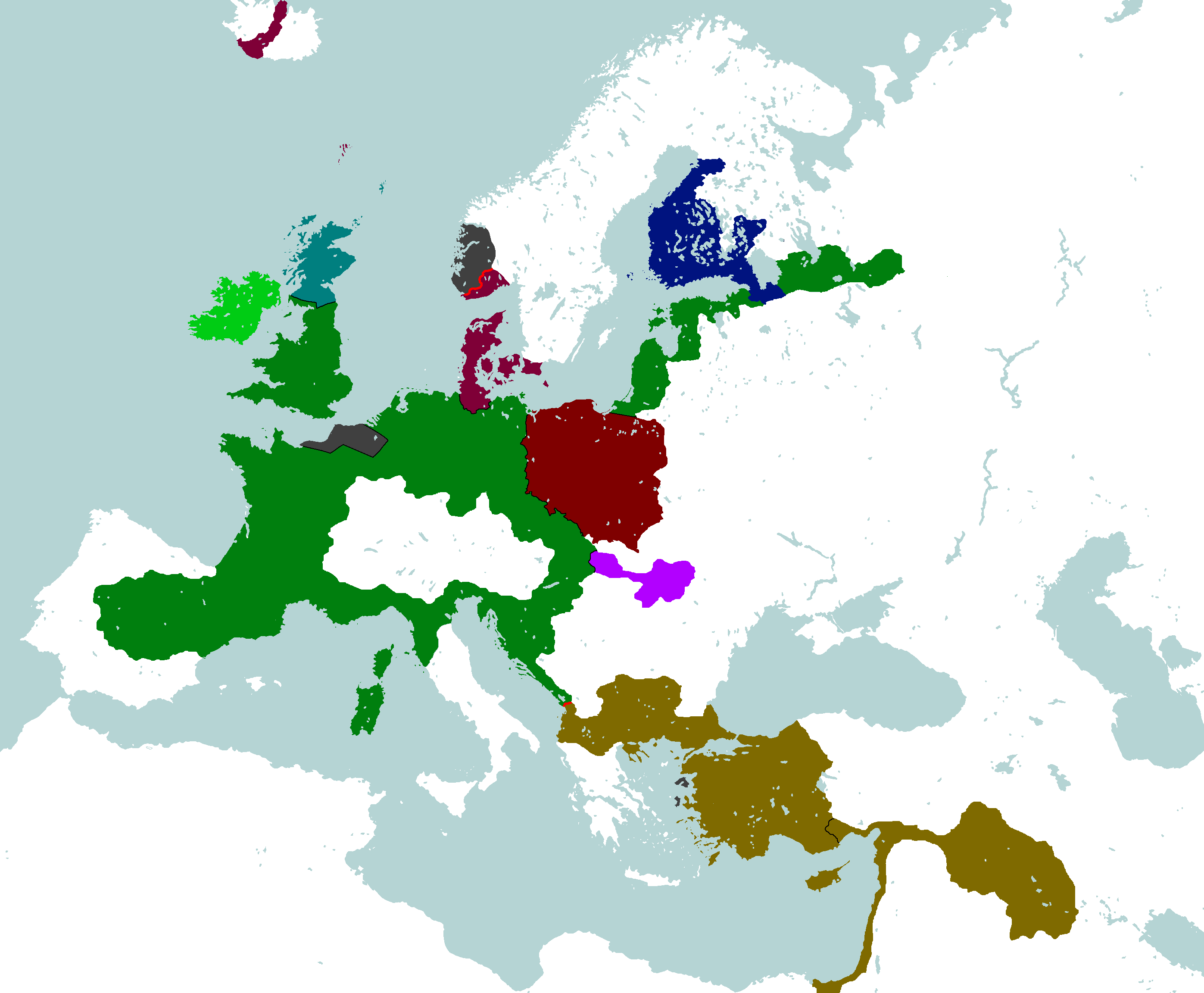
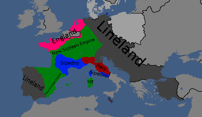
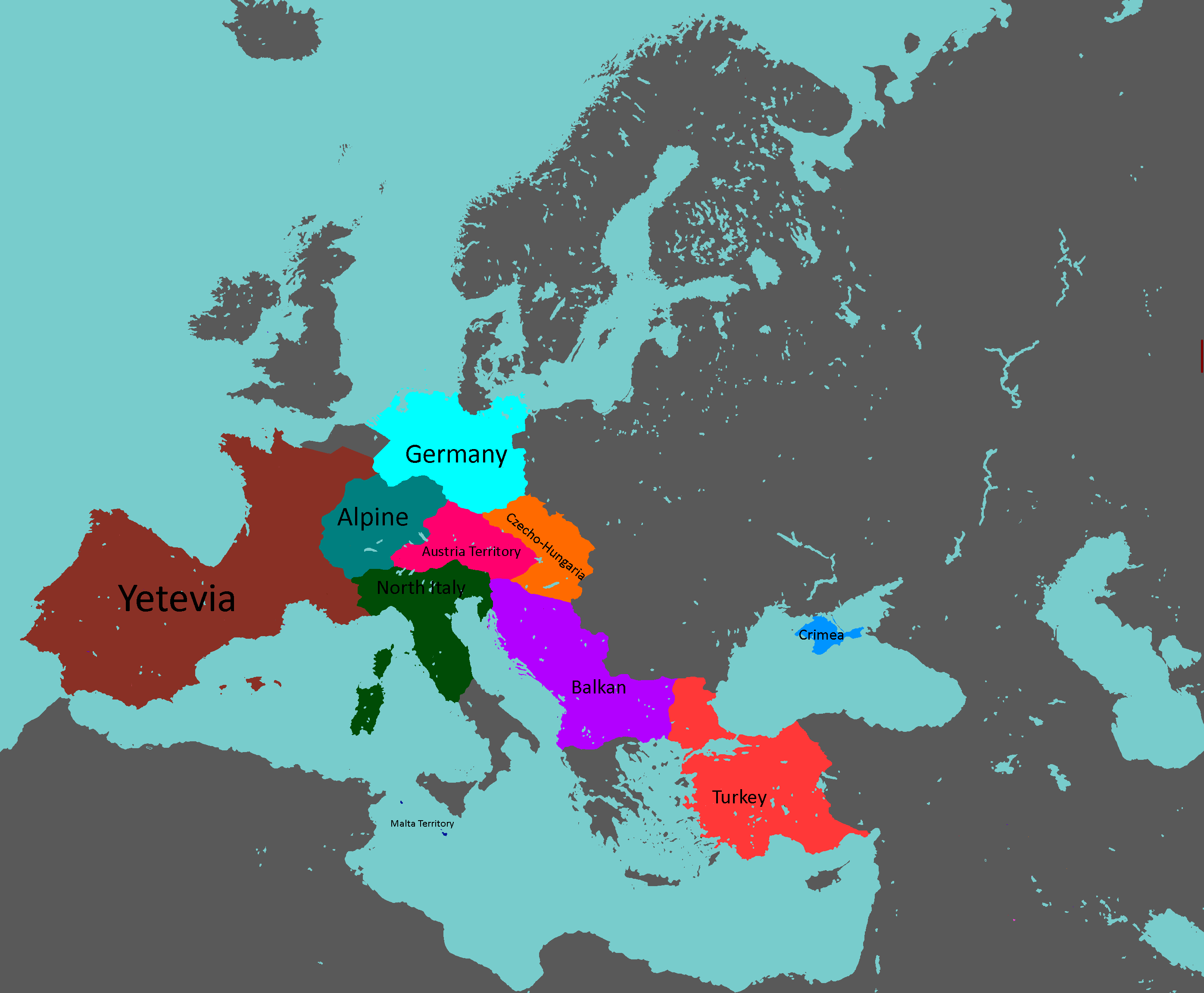
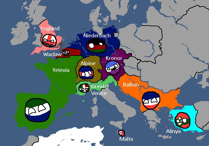
European Cultures: Year 103
-
Unlabled
-
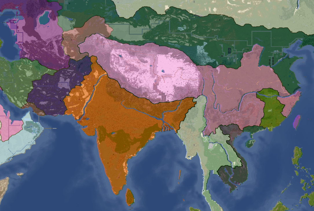
South Asia Overlay: Year 112
-
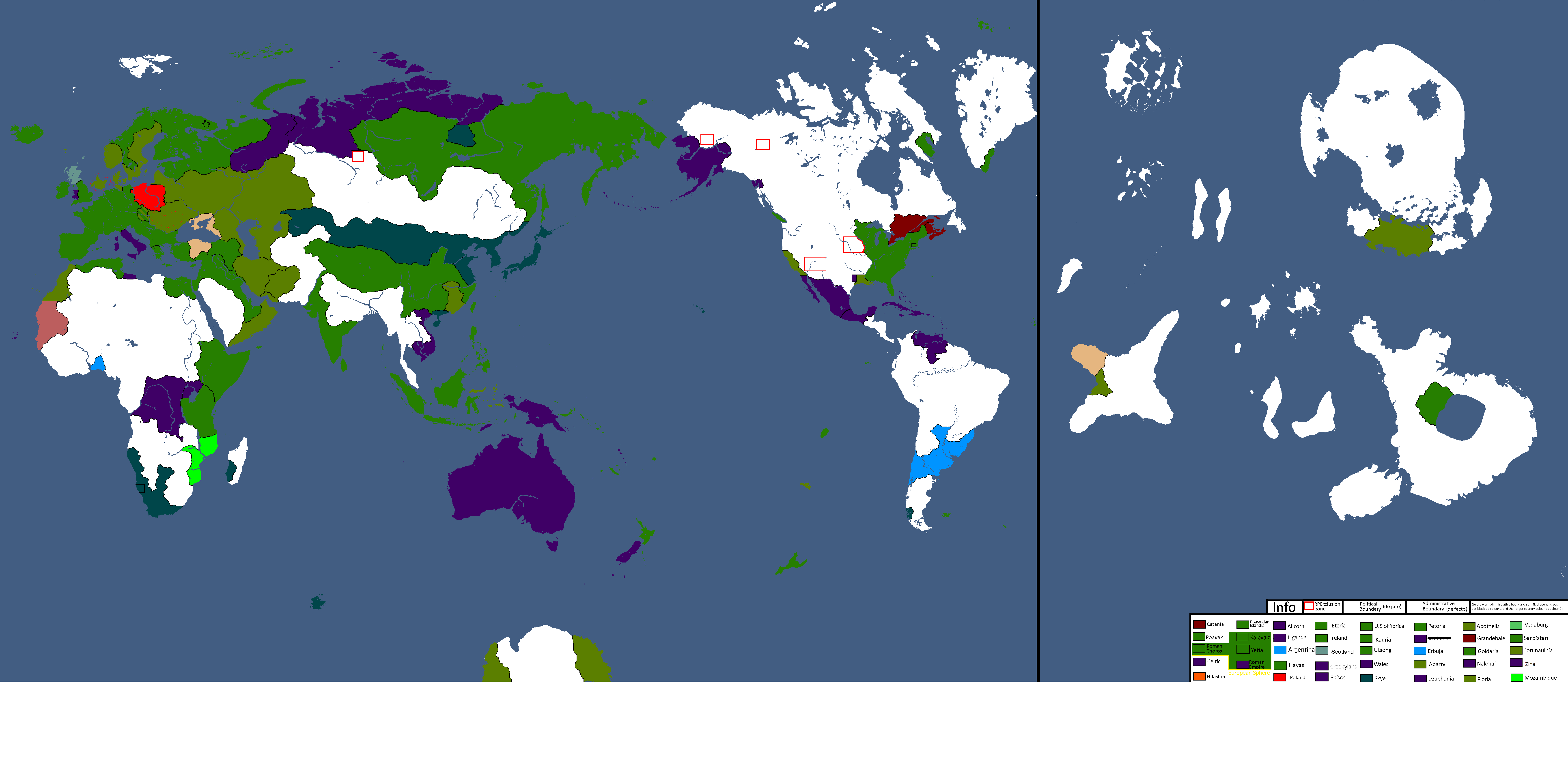
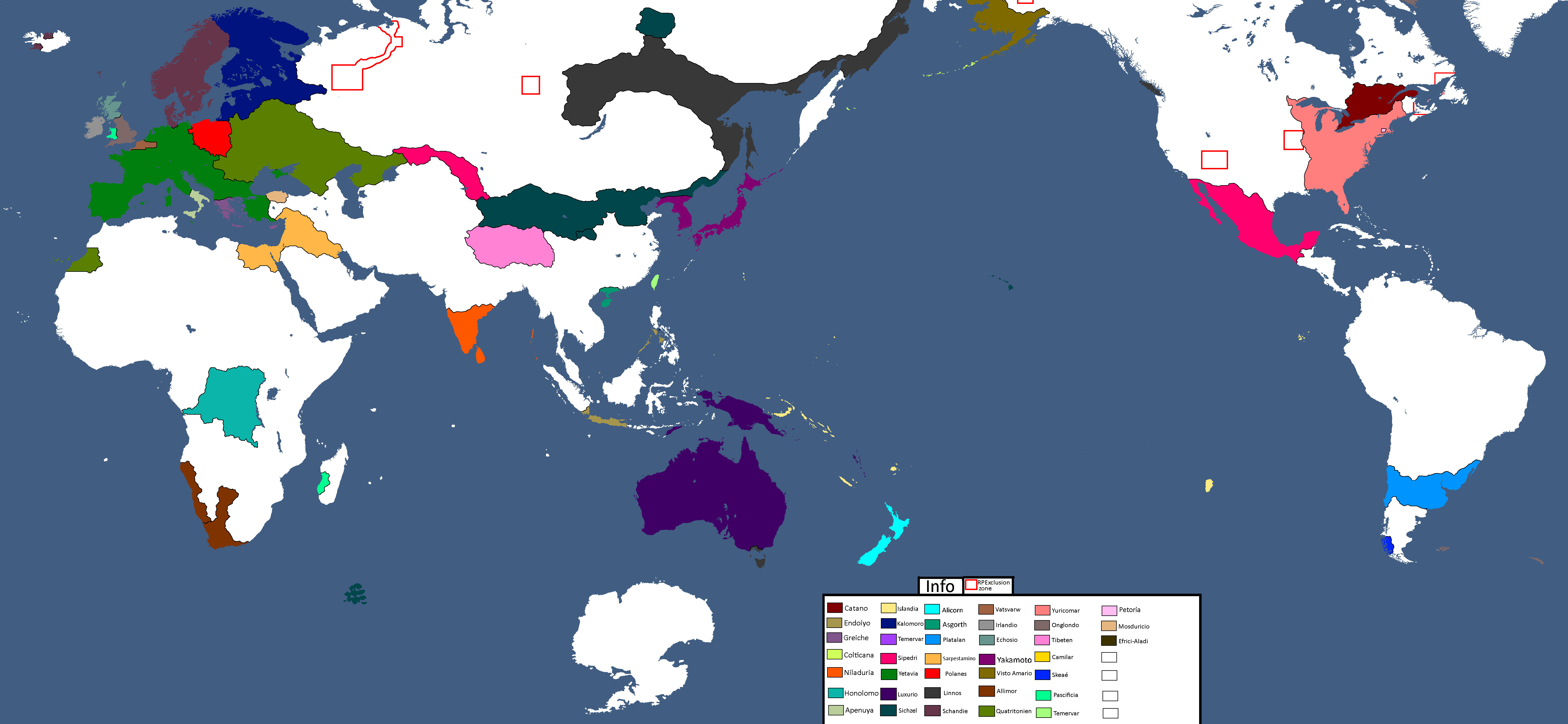
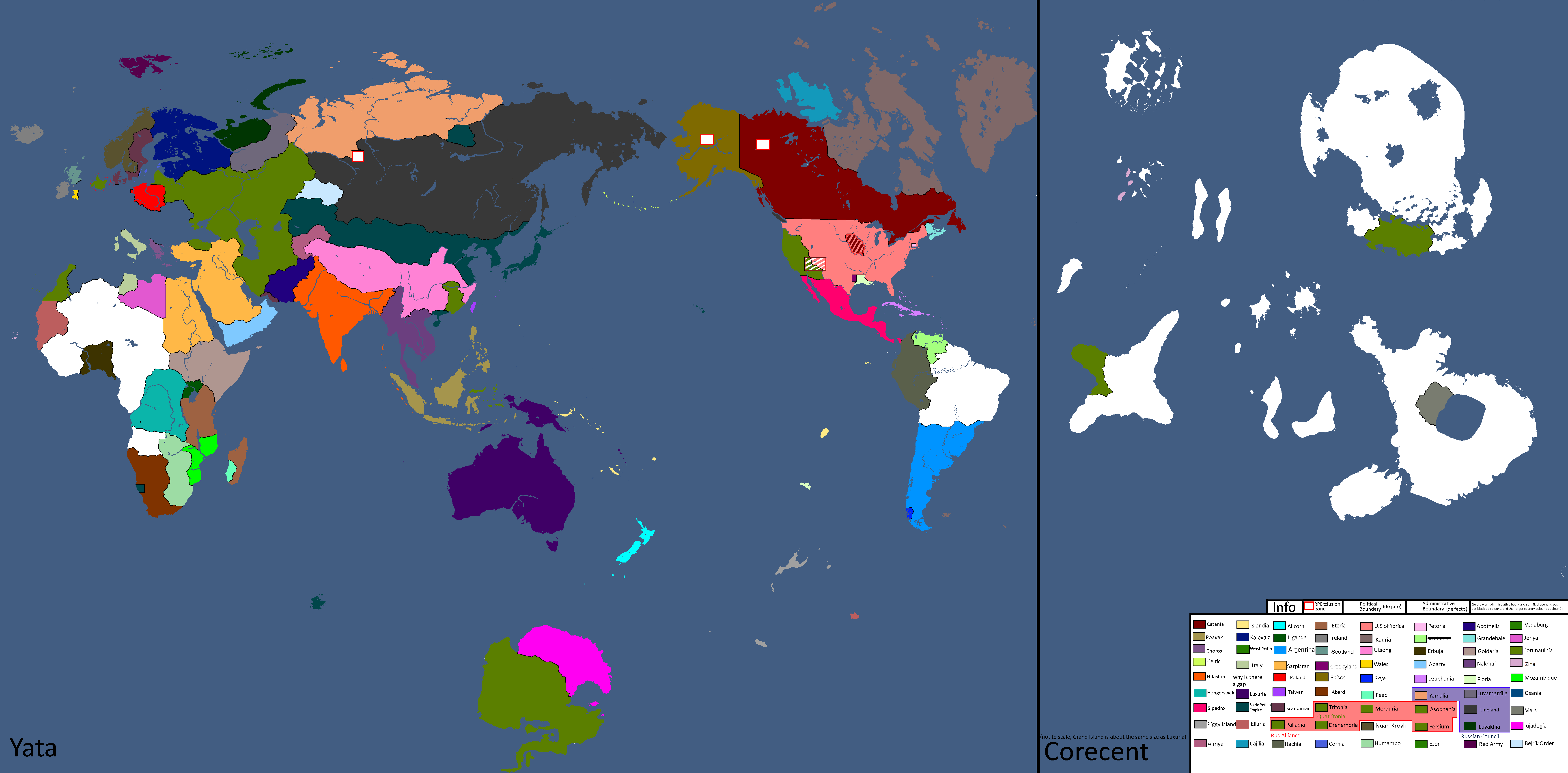
Nation Owners Map: Year 112
-
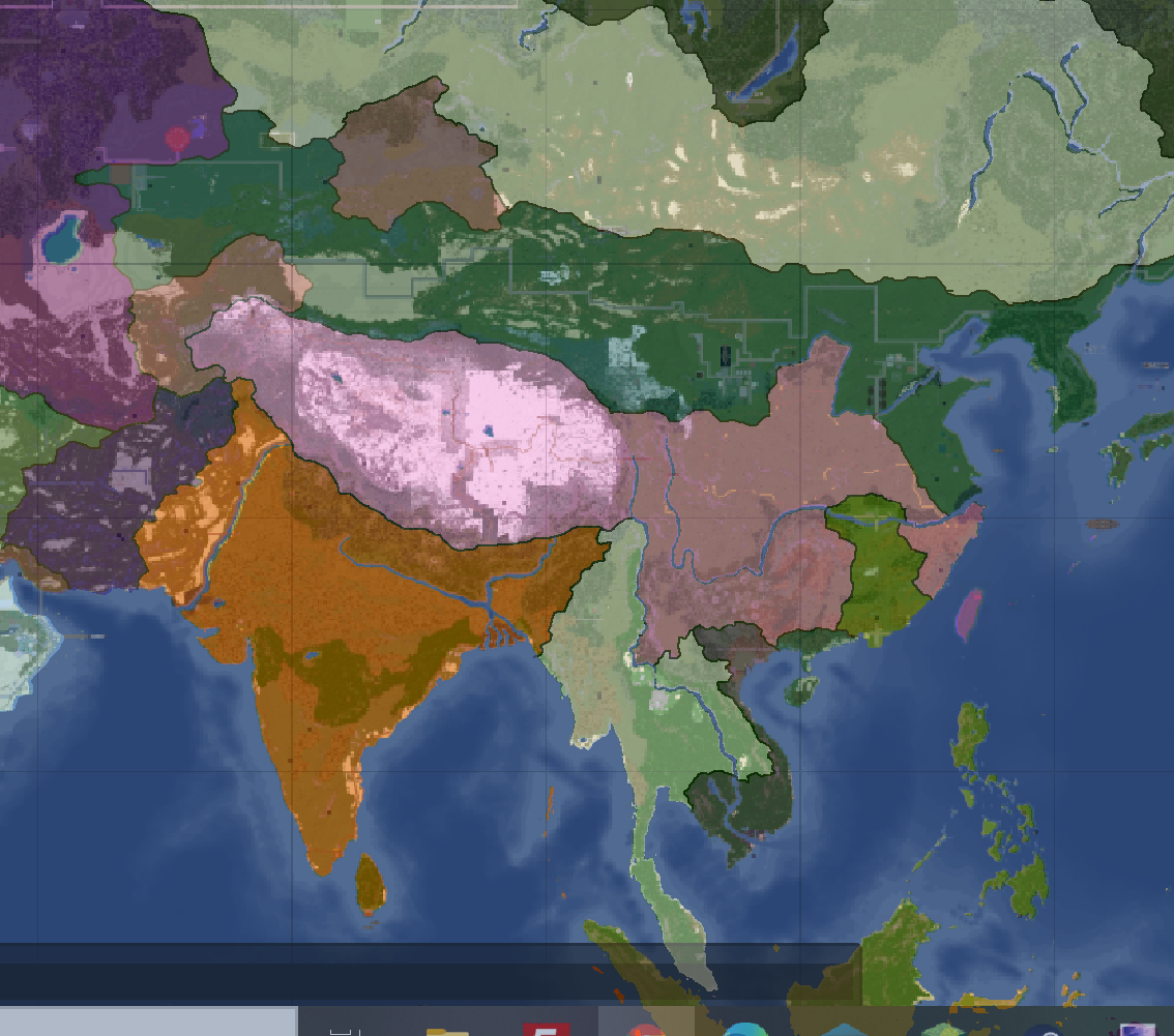
South Asia Overlay: Year 112 (2)
-
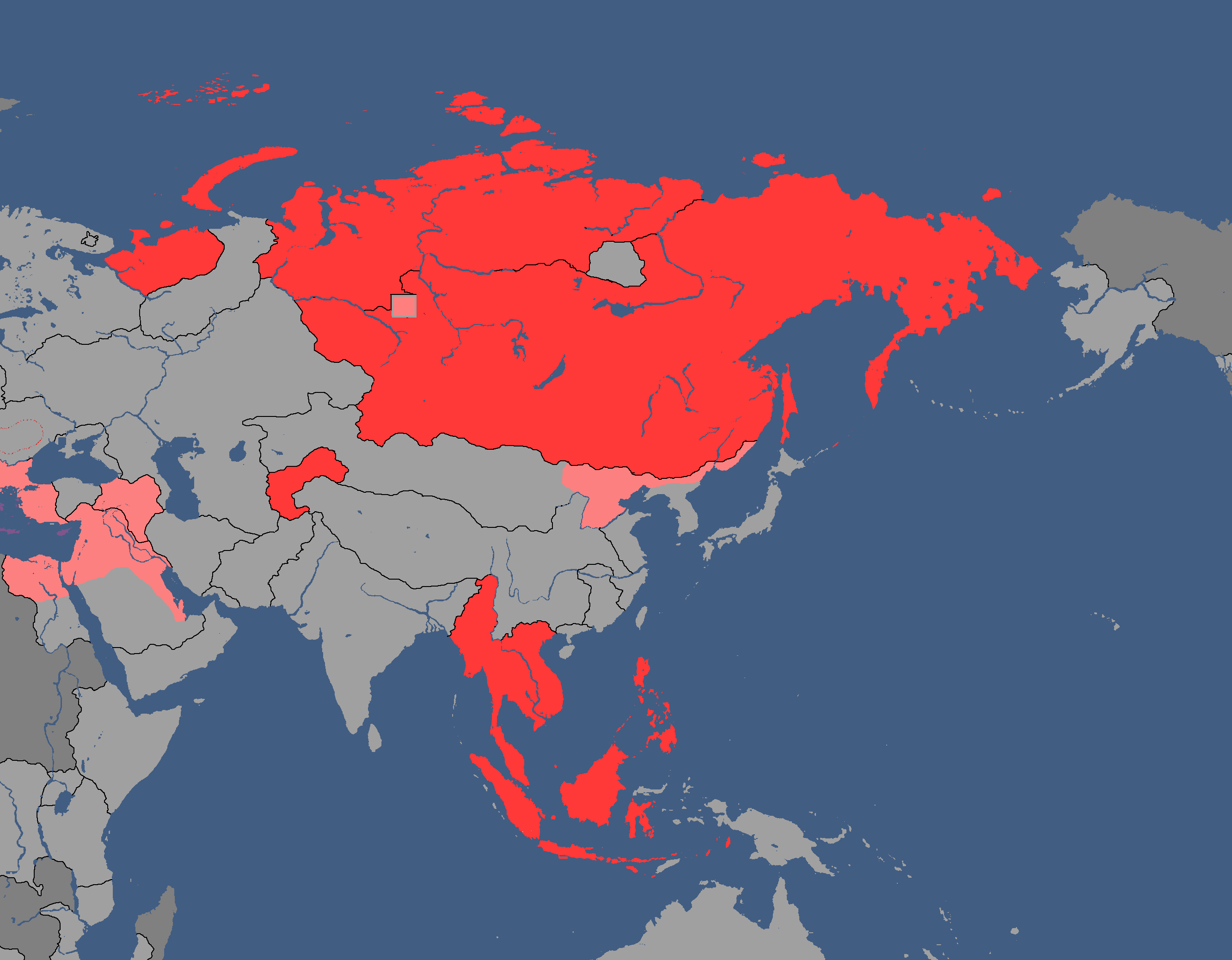
Communist Governments: Year 112
-
Asia Overlay: Year 113
-
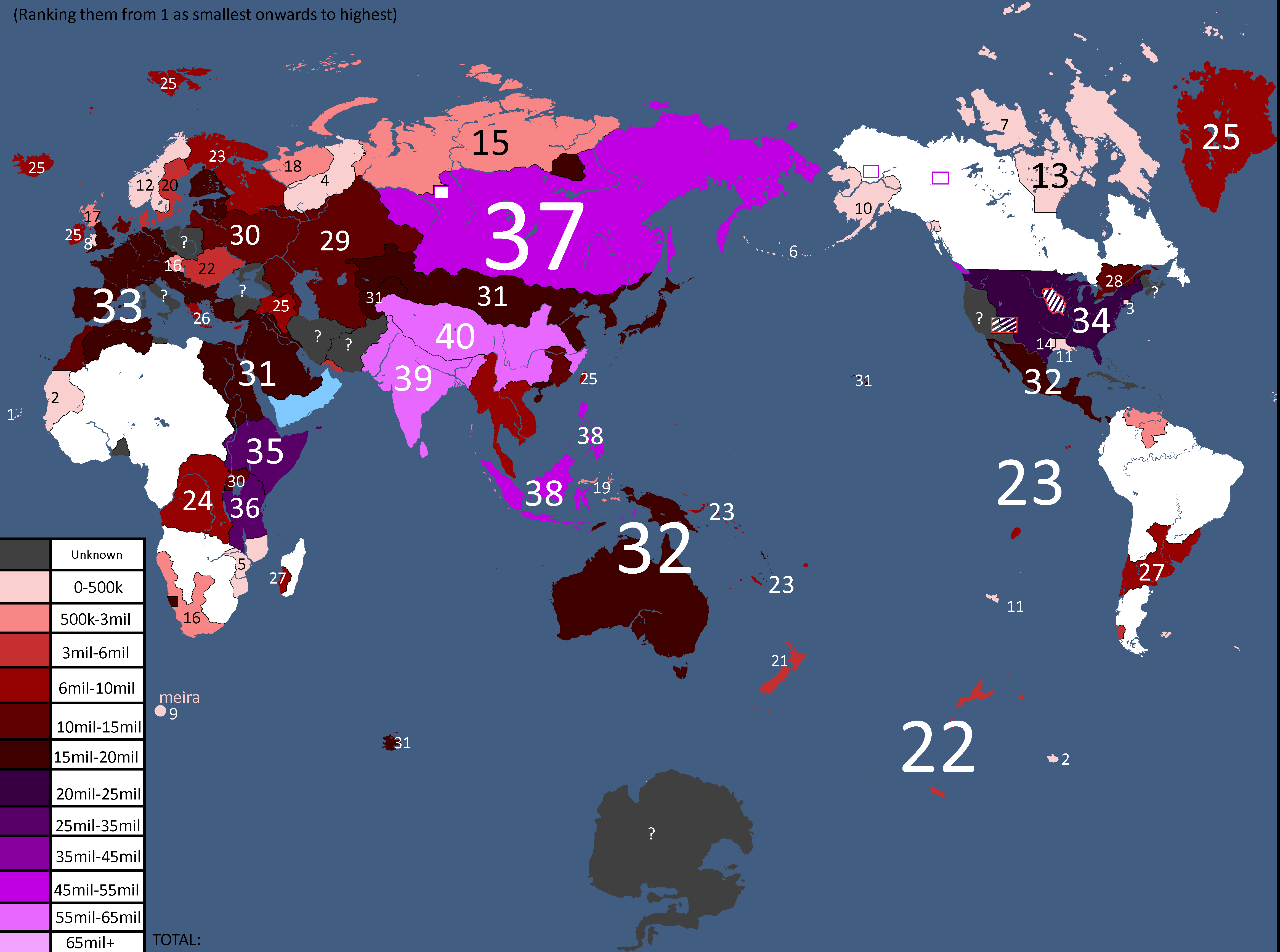
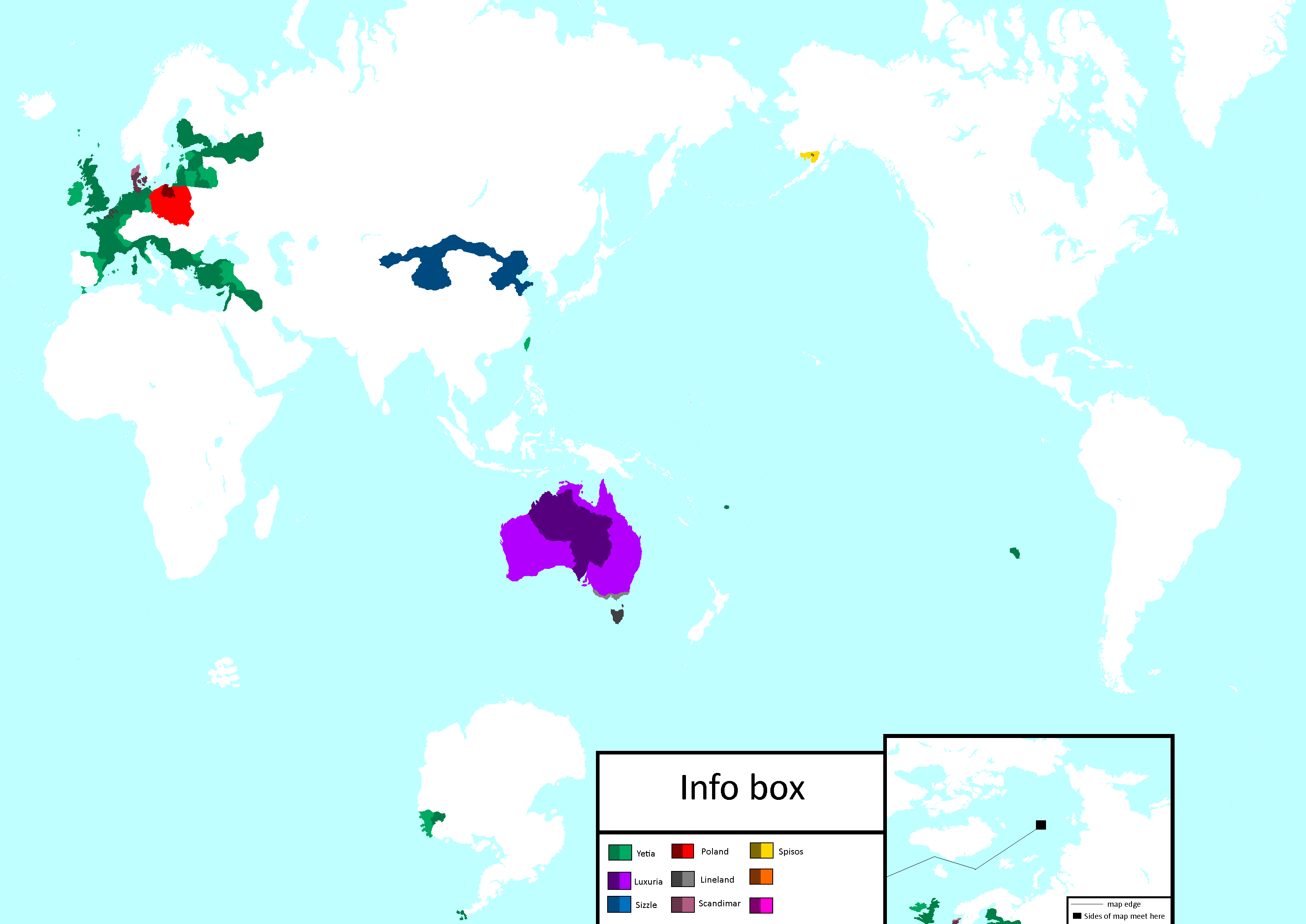
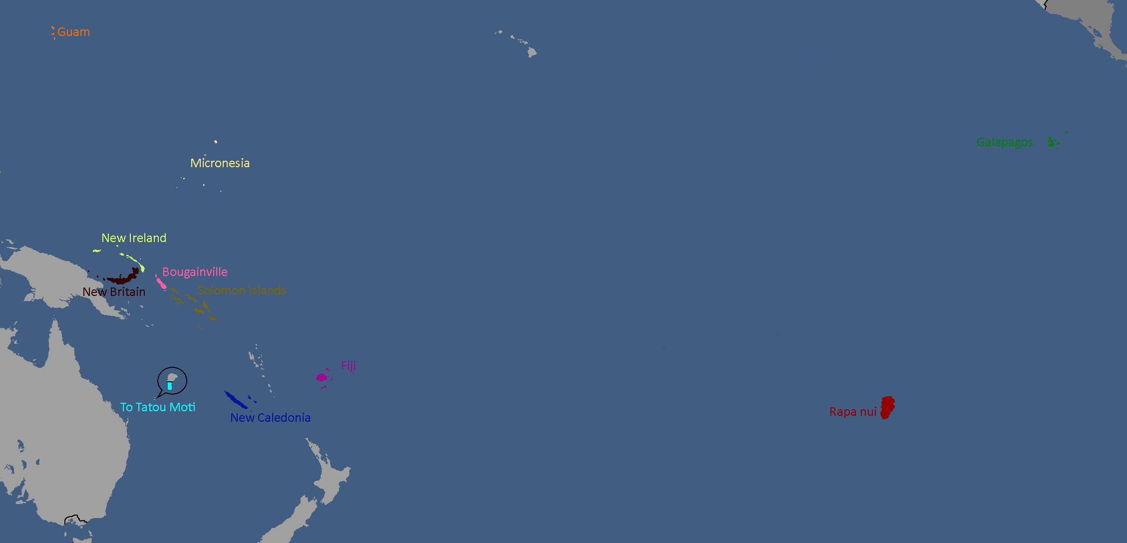
Population of Yata's Countries: Year 114
-
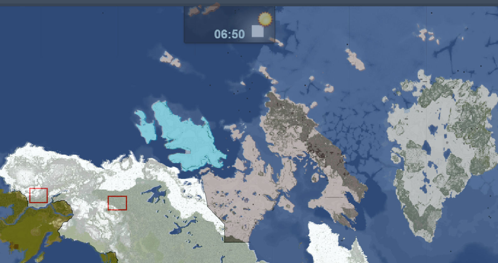
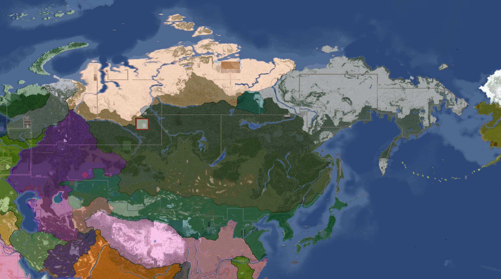
Northern Canada Overlay: Year 114
-
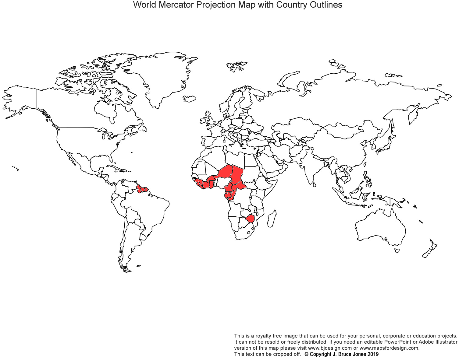
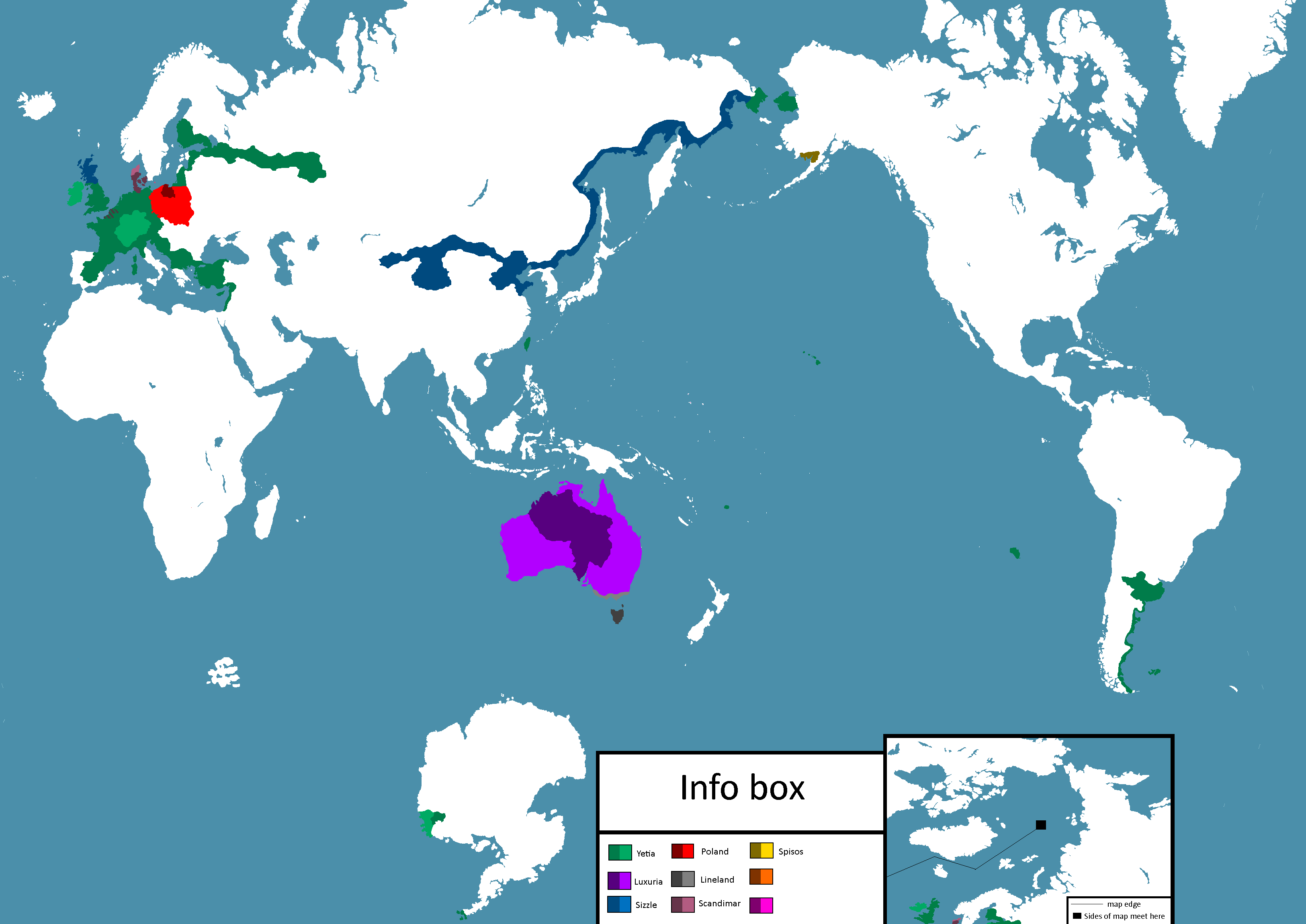
IRL Countries with no claims in them on YATA: Year 115
-

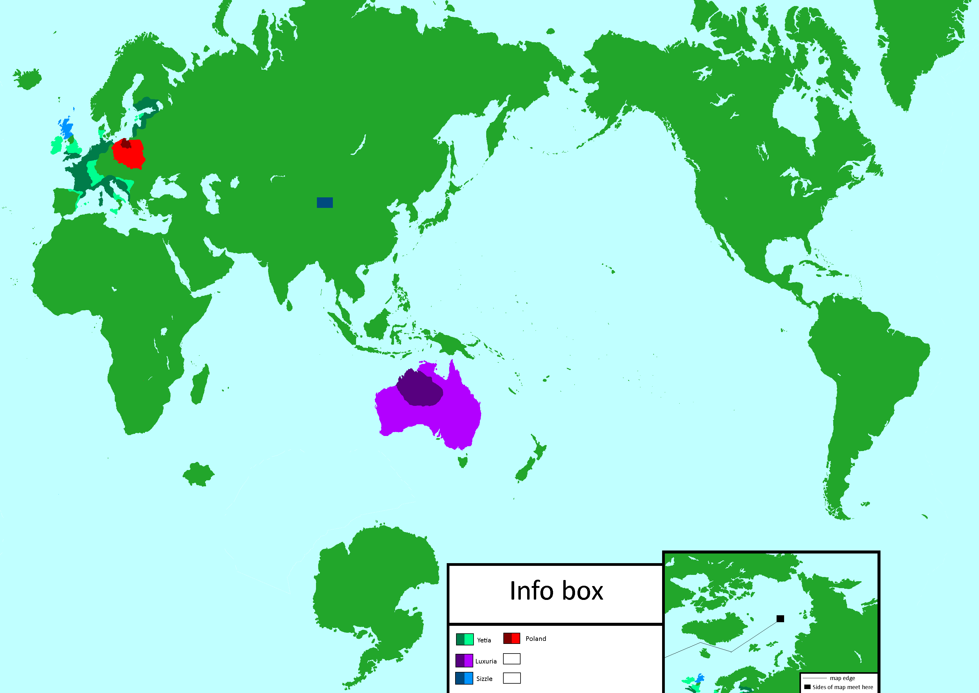
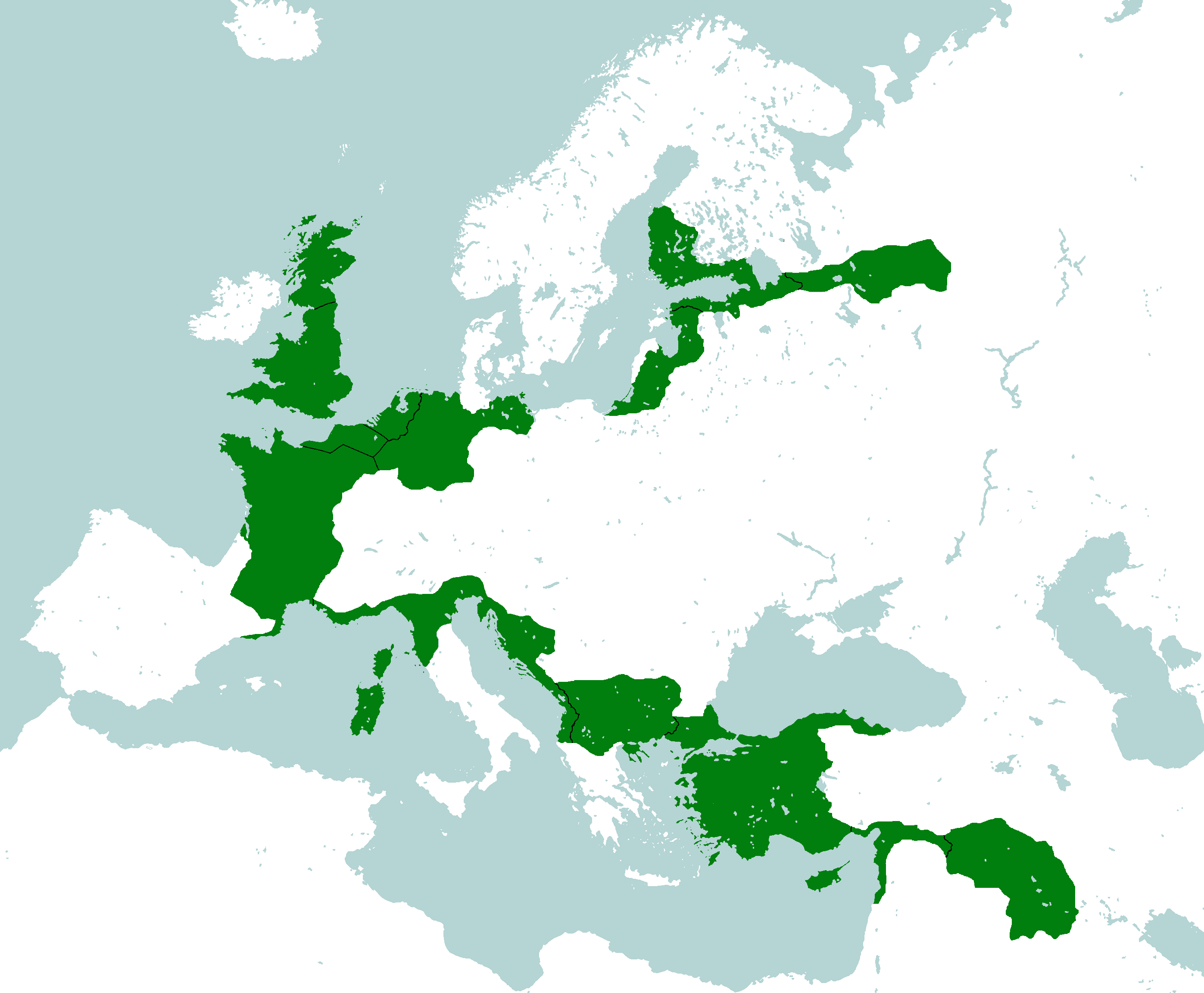
Europe's Population Density: Year 115
-
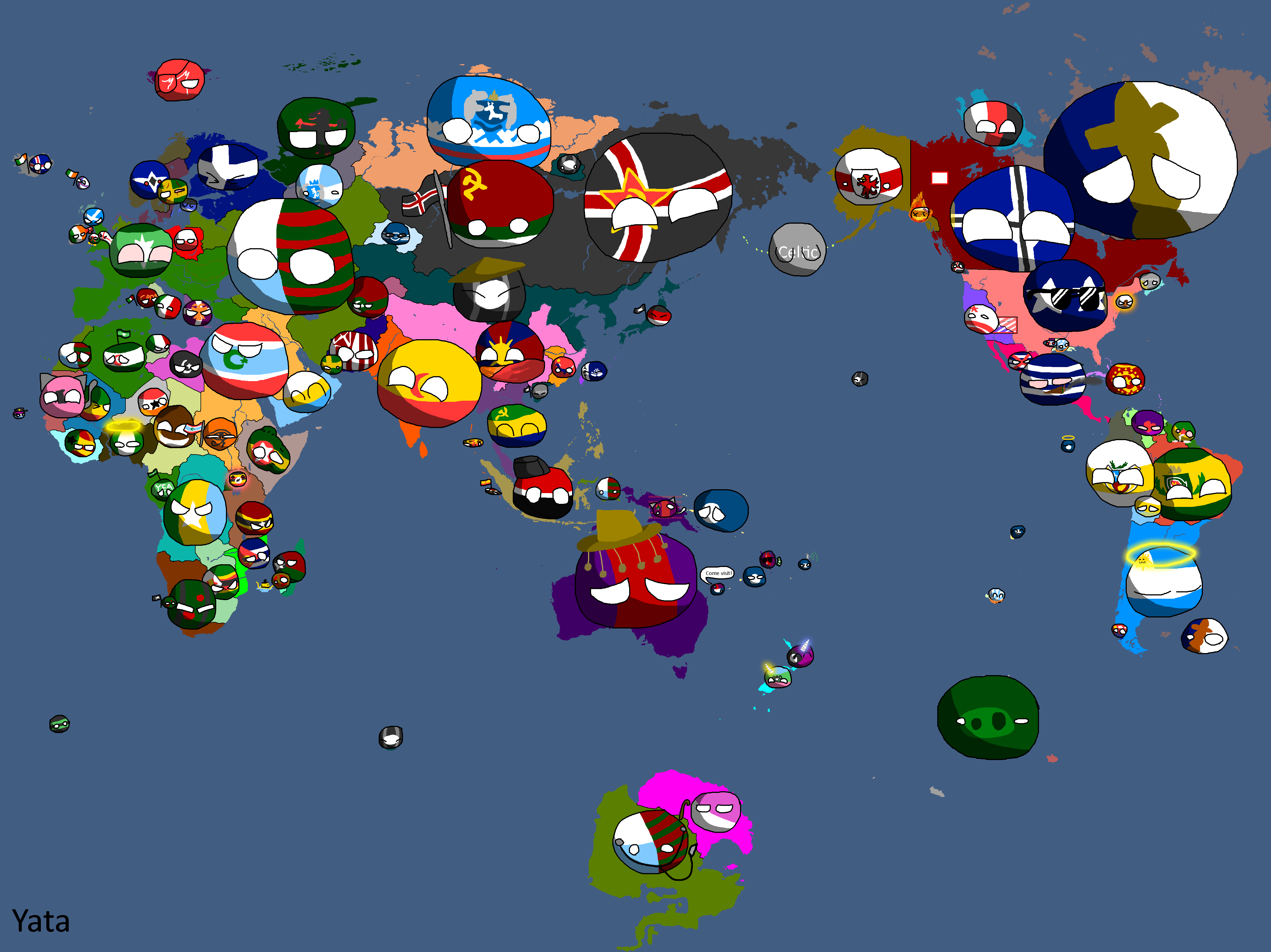
"Yata if it was good" meme: Year 116
-
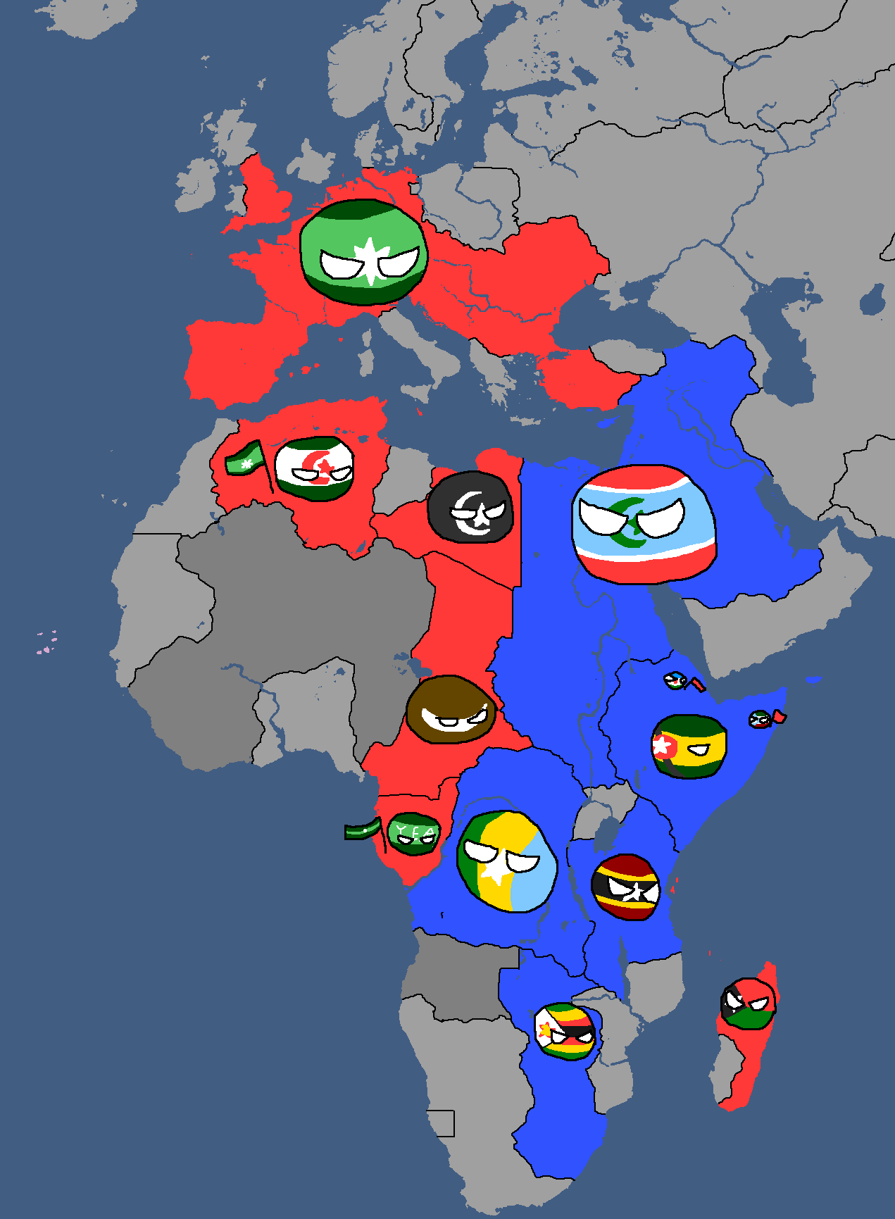
African Cold War: Year 117
-
Yata Countryballs Map: Year 117
-
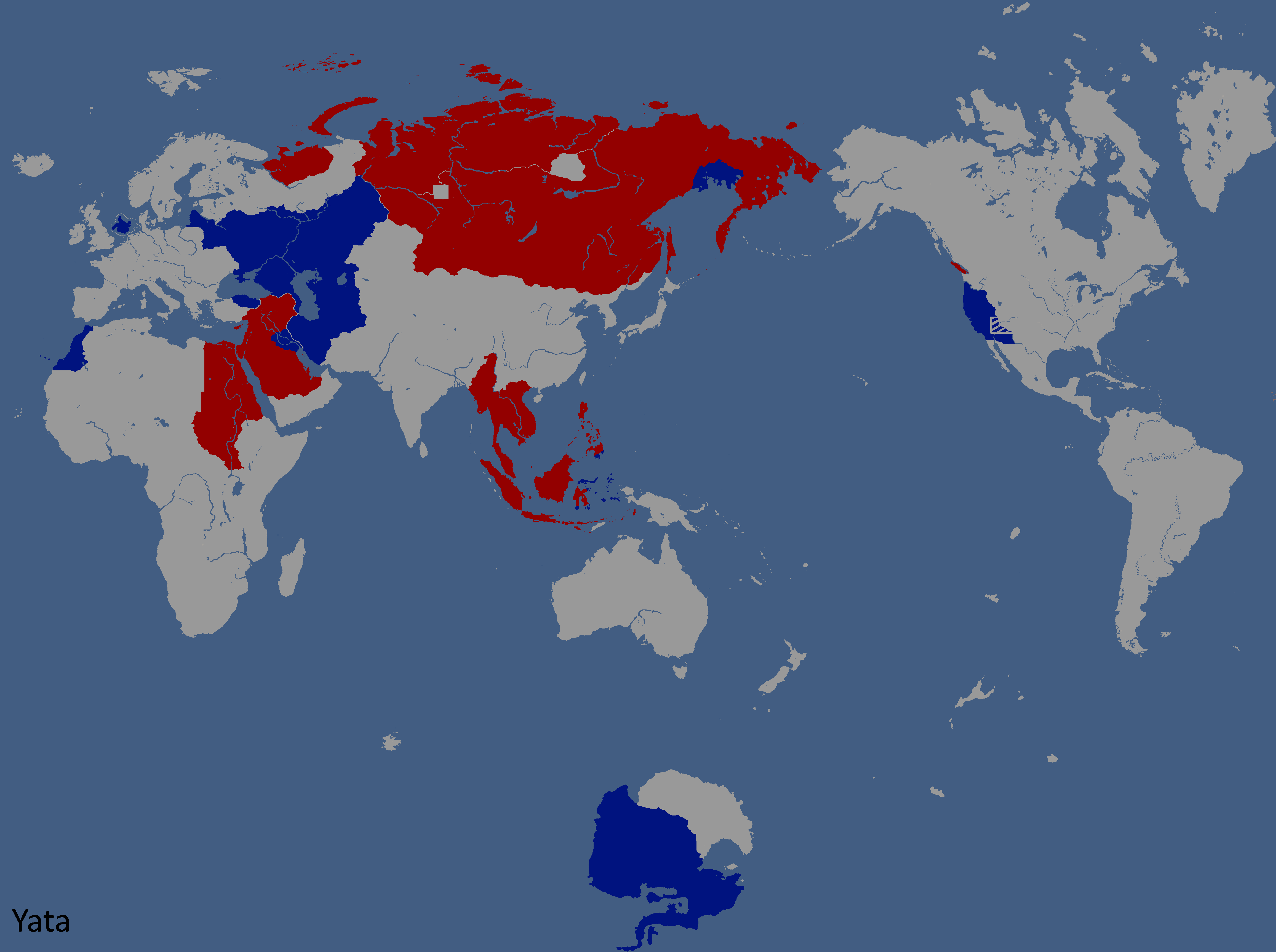
Hypothetical War between the UQSR and Aundzer Alliance: Year 117
-
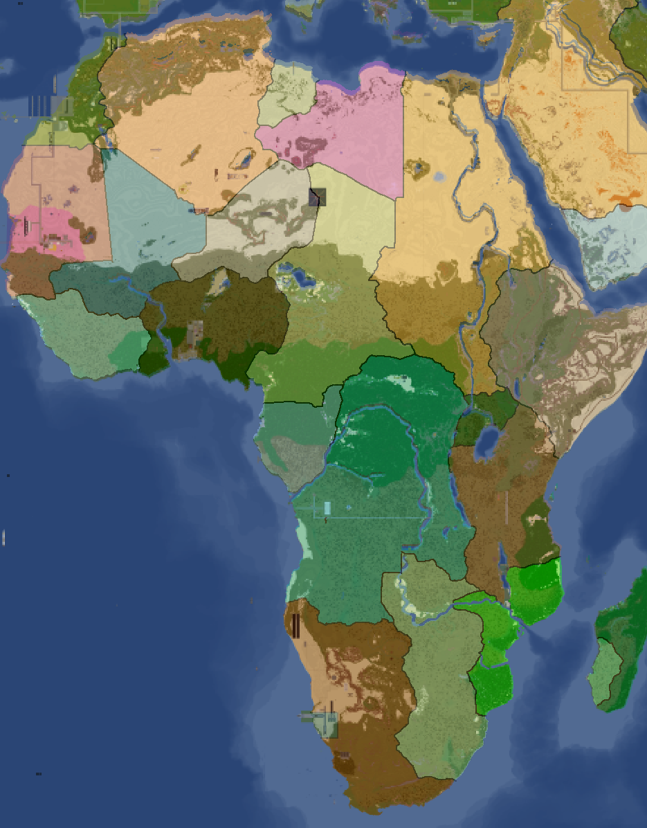
Africa Overlay: Year 117


National Maps
Anakistani Maps
-
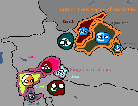
Anakistani Provinces & Regions: Year 112

English Maps
-
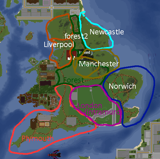
English City Plan: Year 105

Goldarian Maps
-
Goldarian Federal States: Year 102 (Countryballs)
-
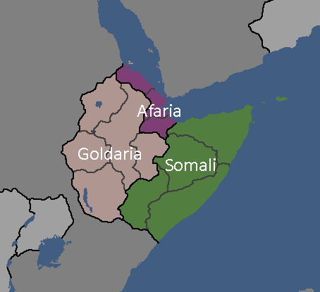
Goldarian Federal States: Year 102


Hayastani Maps
-
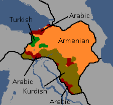
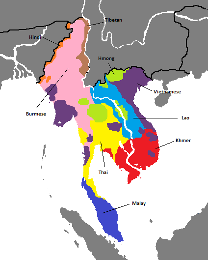
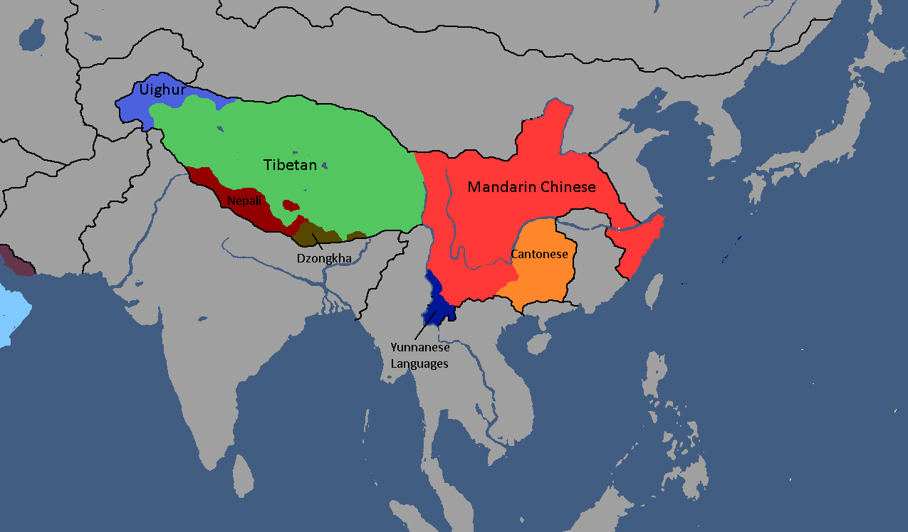
Languages of Hayas: Year 112

Humamboan Maps
-

Homeland & Colonies of Humambo: Year 115

Isernotarian Maps
-
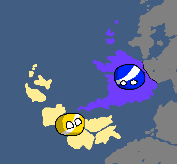
Isernotarian Constituent Nations: Year 116 (Countryballs)
-
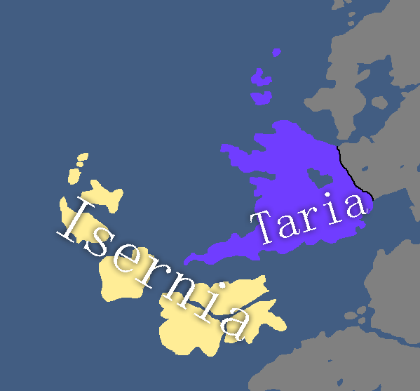
Isernotarian Constituent Nations: Year 116
-
-
Islandian kingdoms and principalities: Year 95 (Countryballs)
-
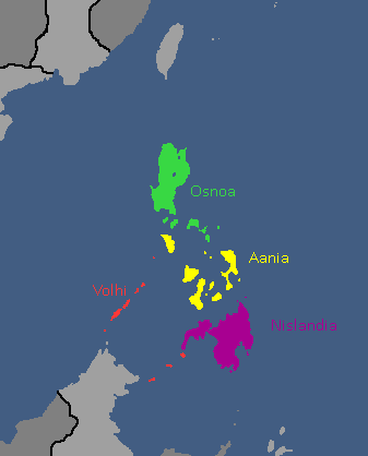
Islandian kingdoms and principalities: Year 95


Linelandic Maps
-
Linelandic Federal Subjects: Year 101
-
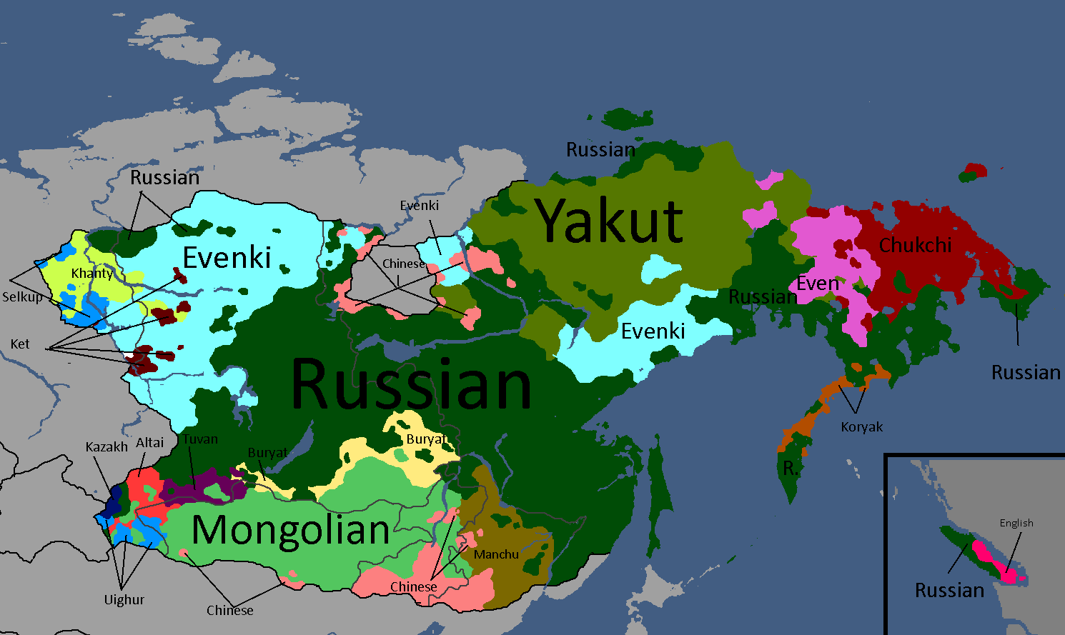
Linelandic Languages: Year 112
-
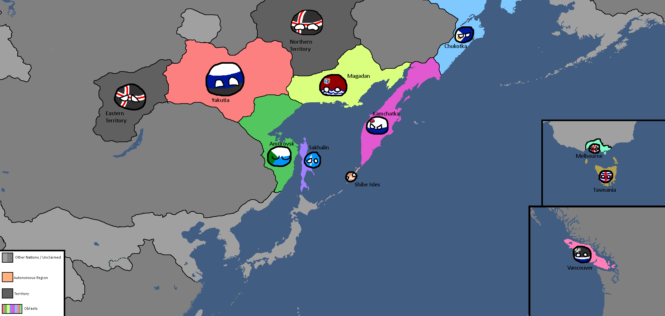
Member-Republics of the Union of Linelandic Socialist Republics: Year 112
-
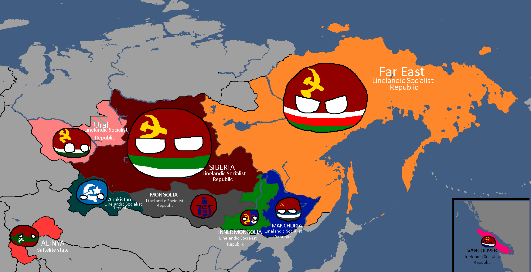
Member-Republics of the Union of Linelandic Socialist Republics: Year 113


Nakamaian Maps
-
Languages of Nakmai: Year 112

Old Osanian Maps
-
Old Osanian States: Year 105

Poavakian Maps
-
Poavakian Subdivisions: Year 96

Sarpistani Maps
-
Languages of Sarpistan: Year 114
-
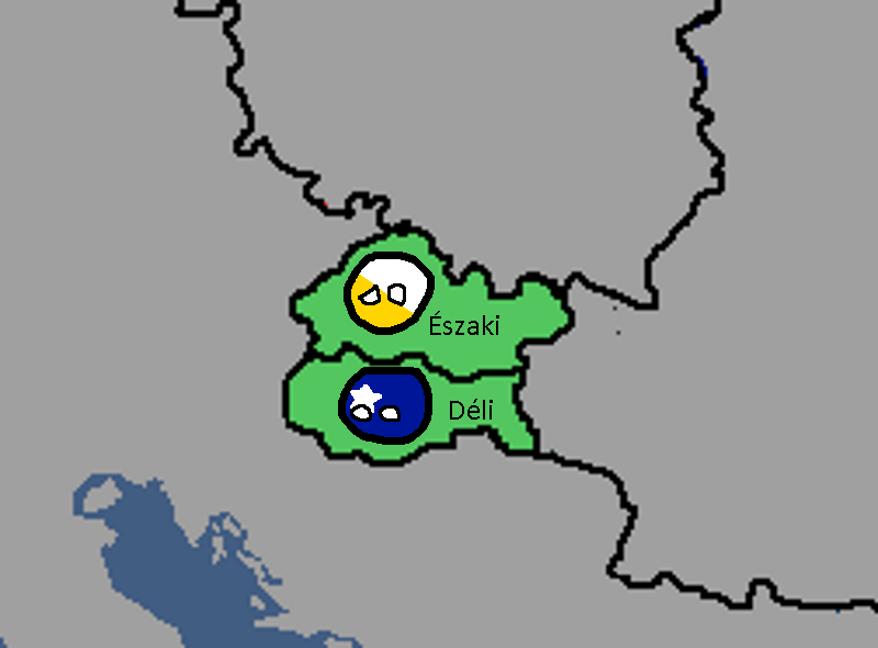
Provinces of Sarpistan and Jeriya (Protectorate): Year 115


Tritonian Maps
-
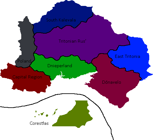
Tritonian Regions: Year 90
-
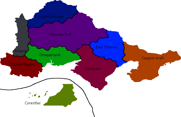
Tritonian Regions: Year 91
-
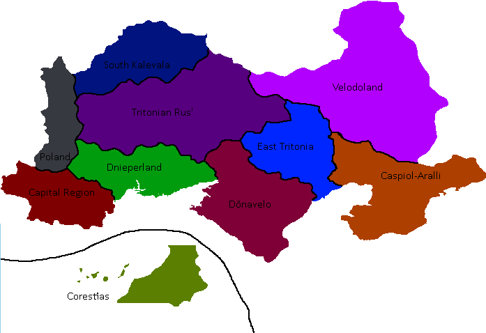
Tritonian Regions: Late Year 91
-
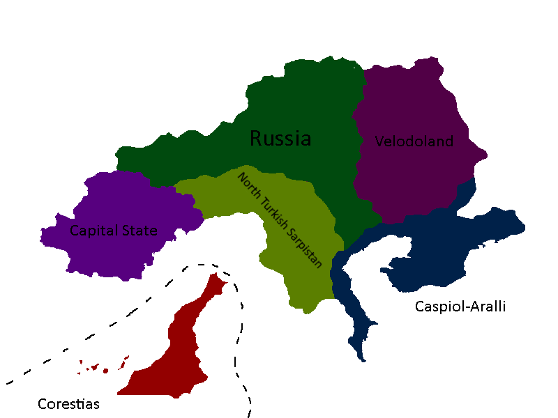
Tritonian Regions: Year 96
-
Tritonian Regions: Year 101
-
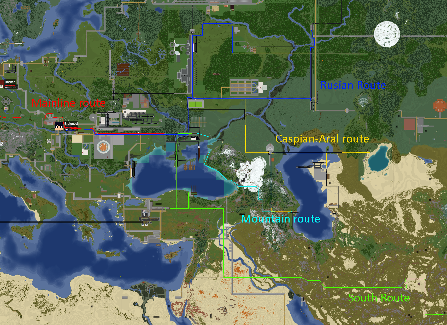
Tritonian Railways: Year 106
-
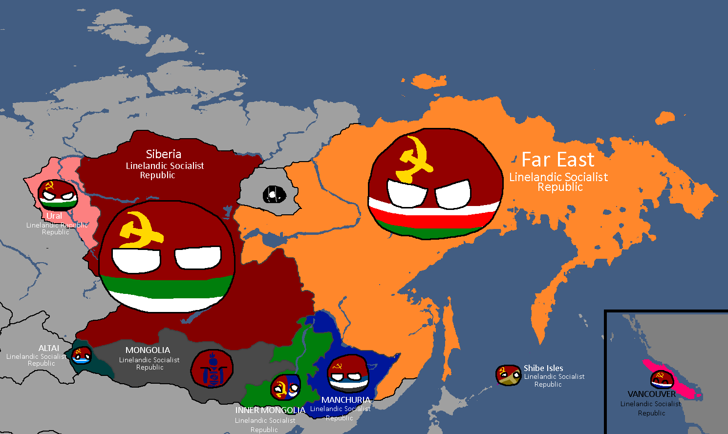
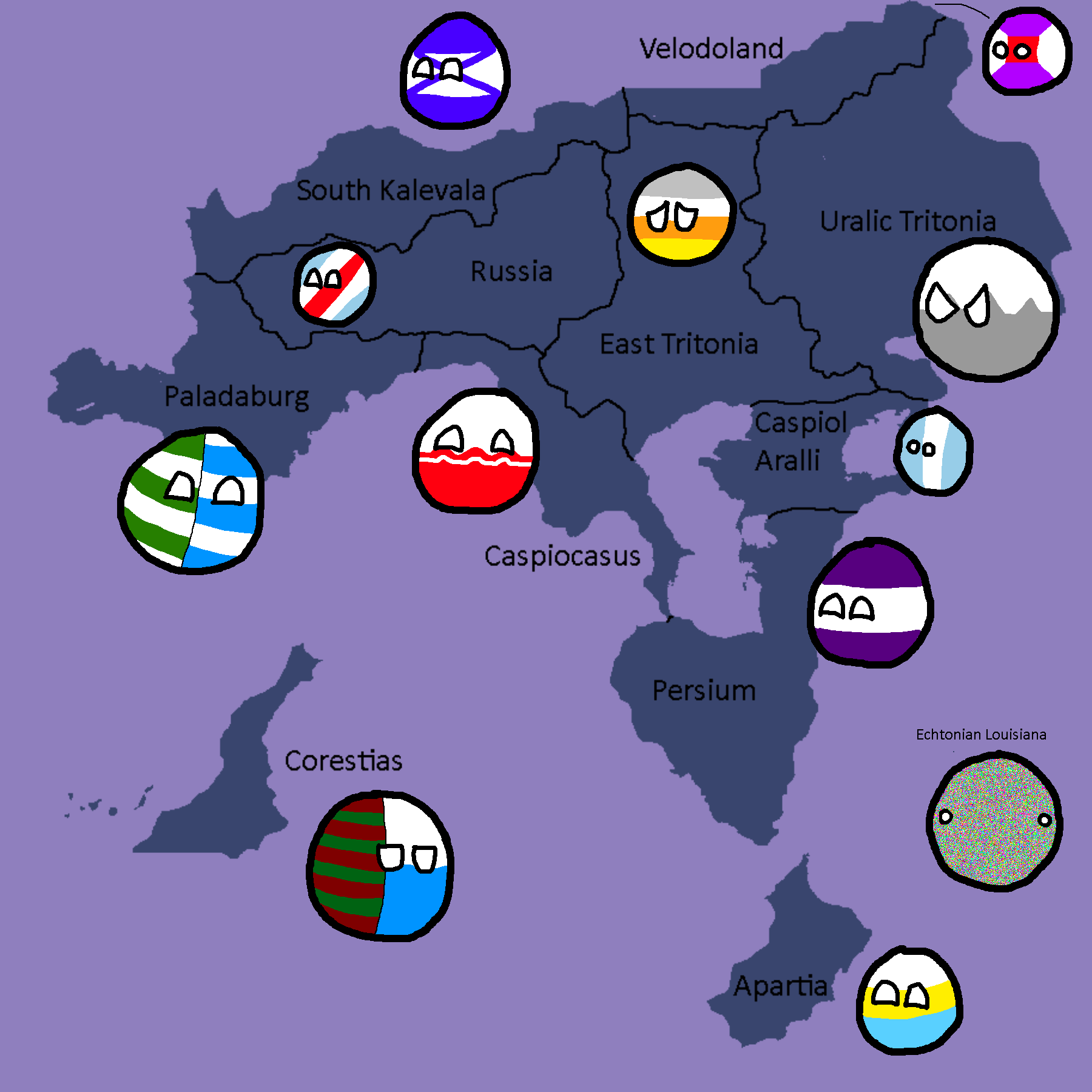
Member-Republics of the Union of Quatritonian Socialist Republics: Year 114
-
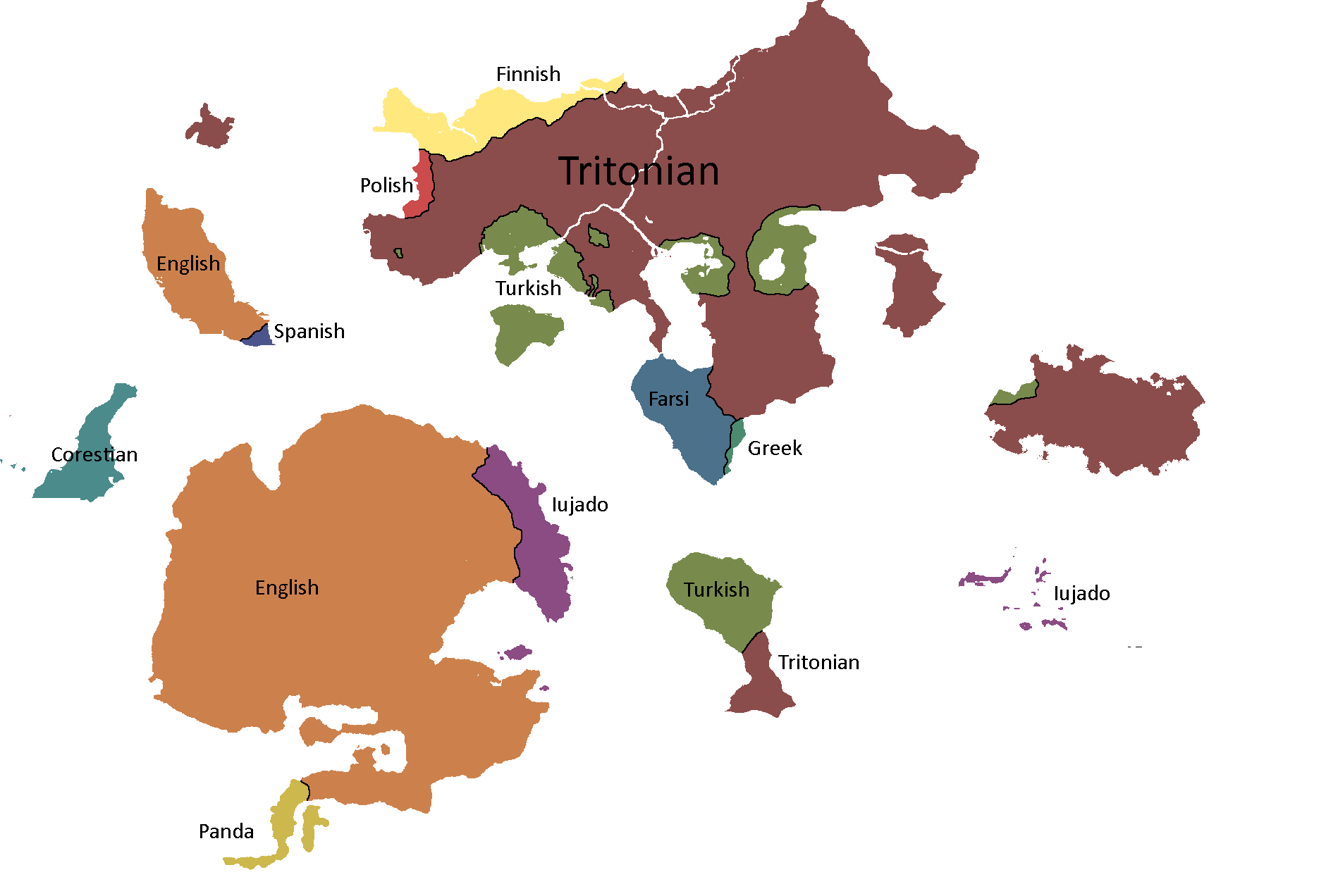
Languages of Quatritonia: Year 115


Utsongan Maps
-
Languages of Utsong: Year 114
-
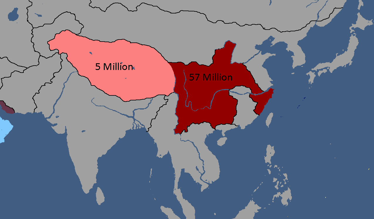
Utsong's Population Distribution: Year 114


Vedan Maps
-
Vedan Districts: Year 103

Yetian Maps
-
Lost Archives Map: Yetia 1
-
Lost Archives Map: Yetia 2
-
Lost Archives Map: Yetia 3
-
Lost Archives Map: Yetia 4
-
Lost Archives Map: Yetia 5
-
Map of which country captured what in yetia during WW5
-
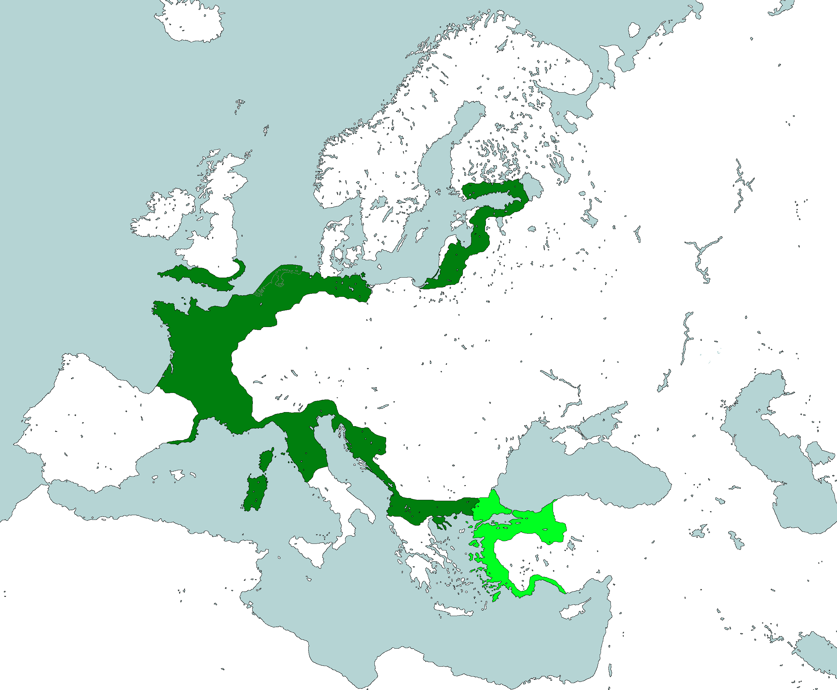
Yetian Provinces: Year 90
-
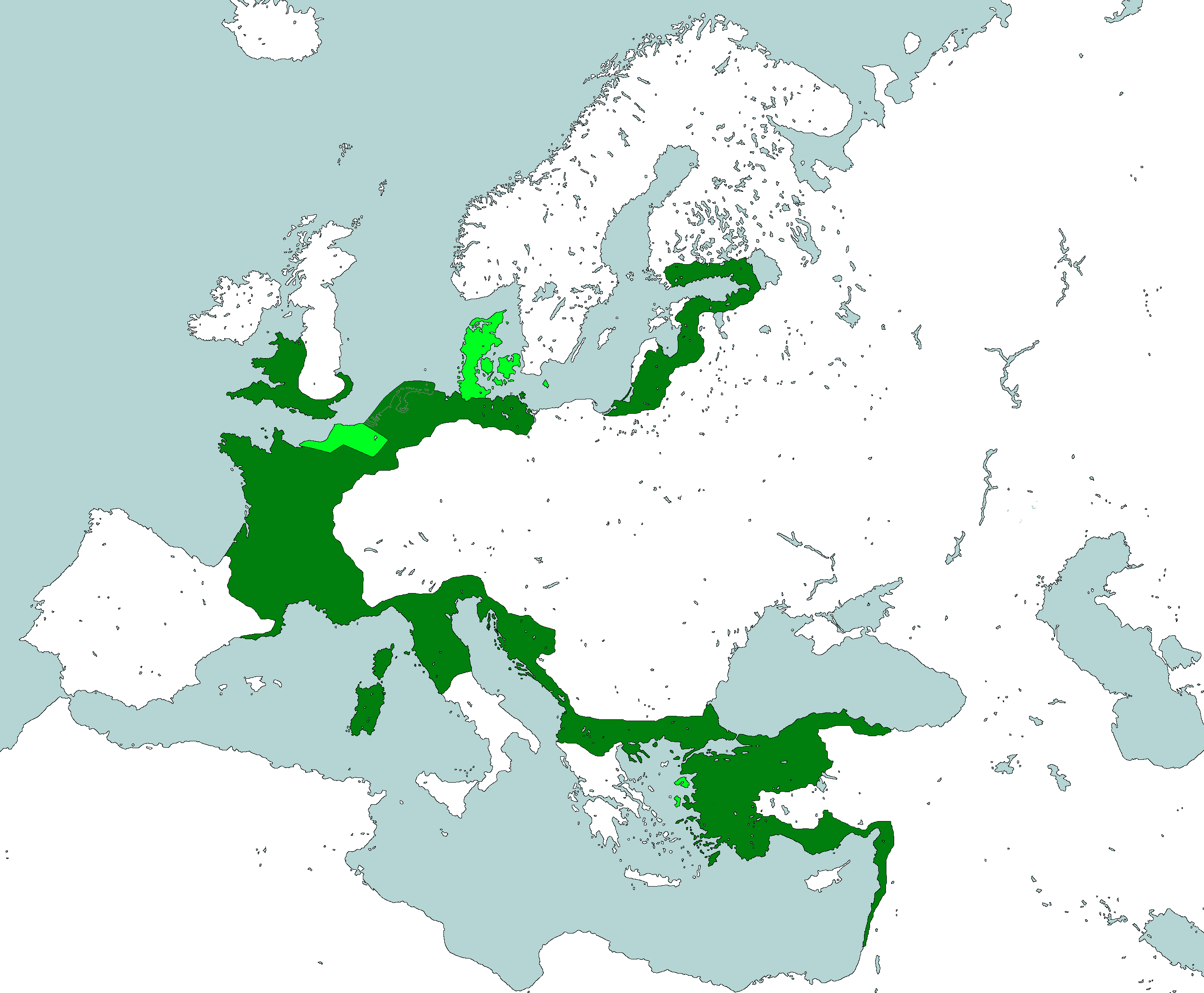
Yetian Provinces: Year 108
-
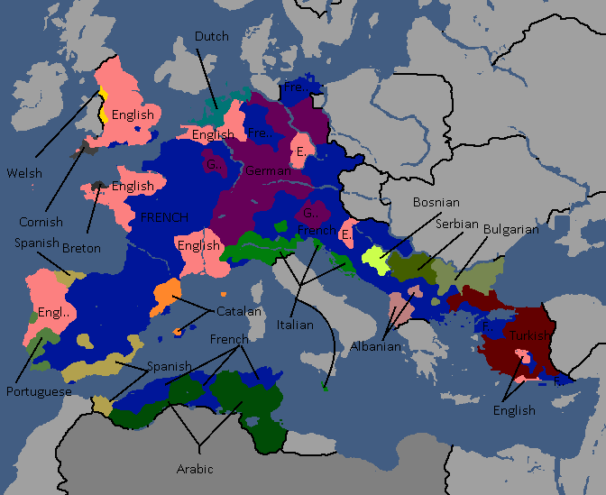
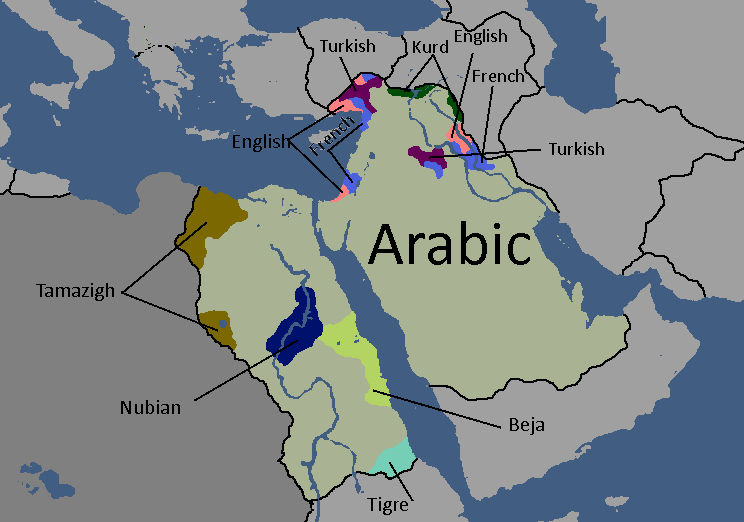
Yetian Languages: Year 112
-
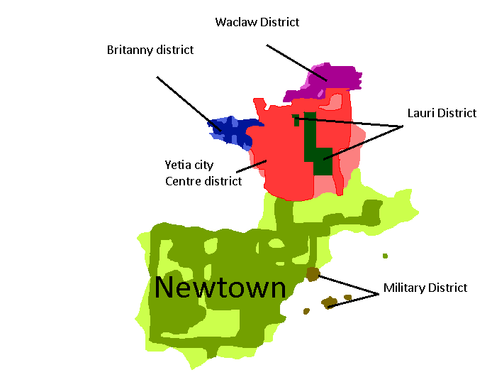
Districts of Yetia City: Year 114
-
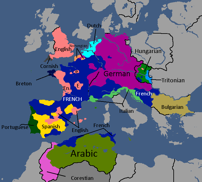
Yetian Languages: Year 115
-
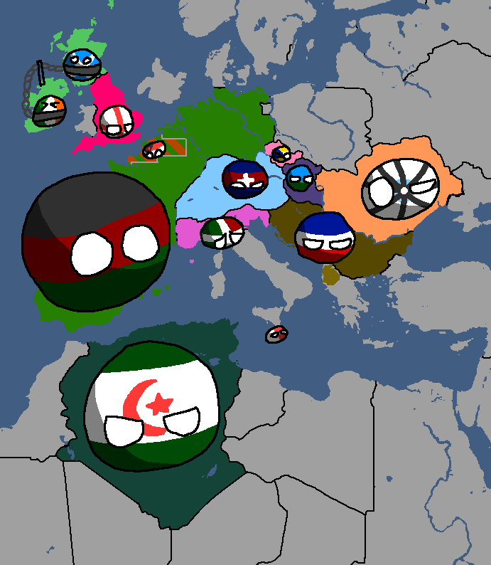
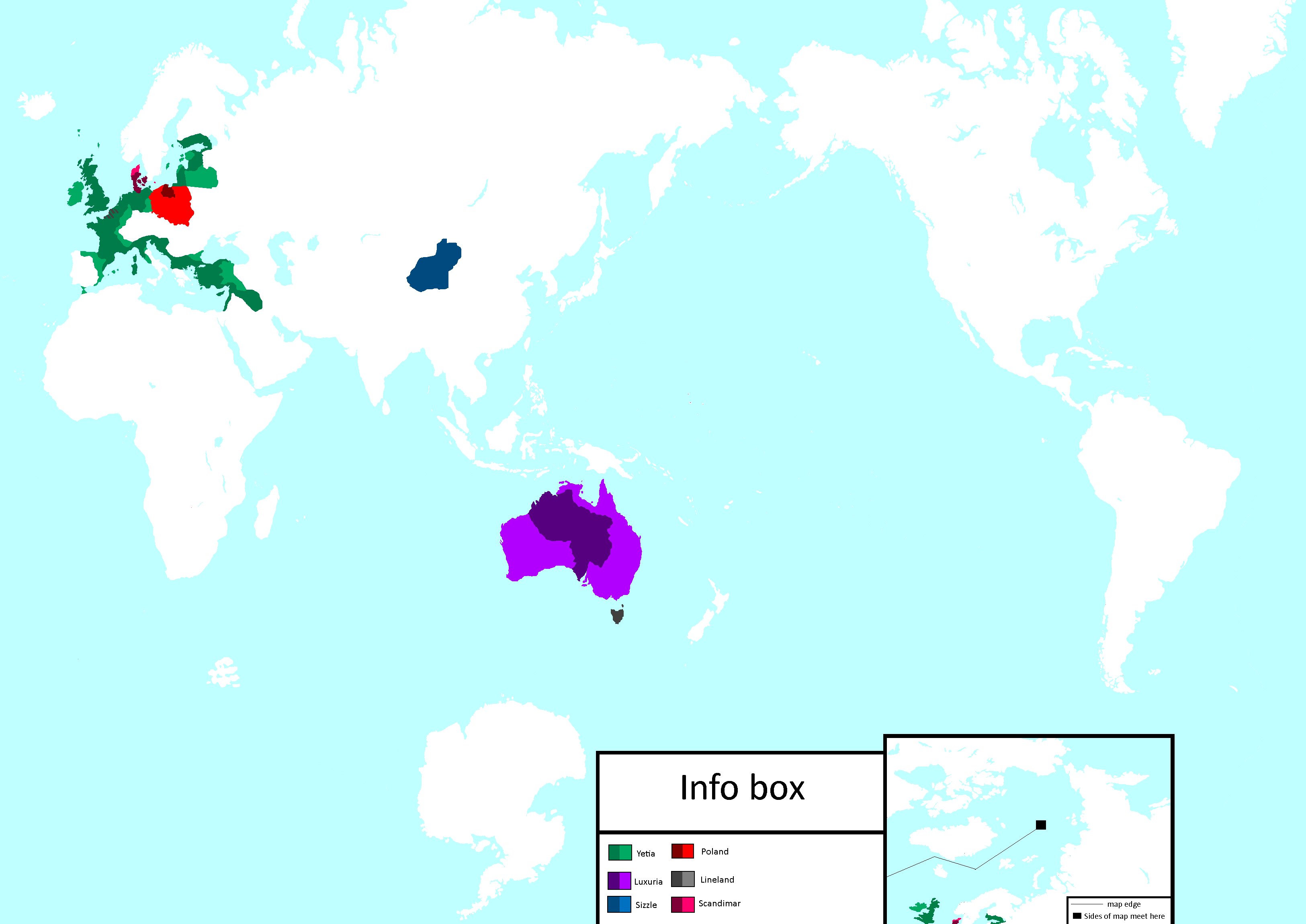
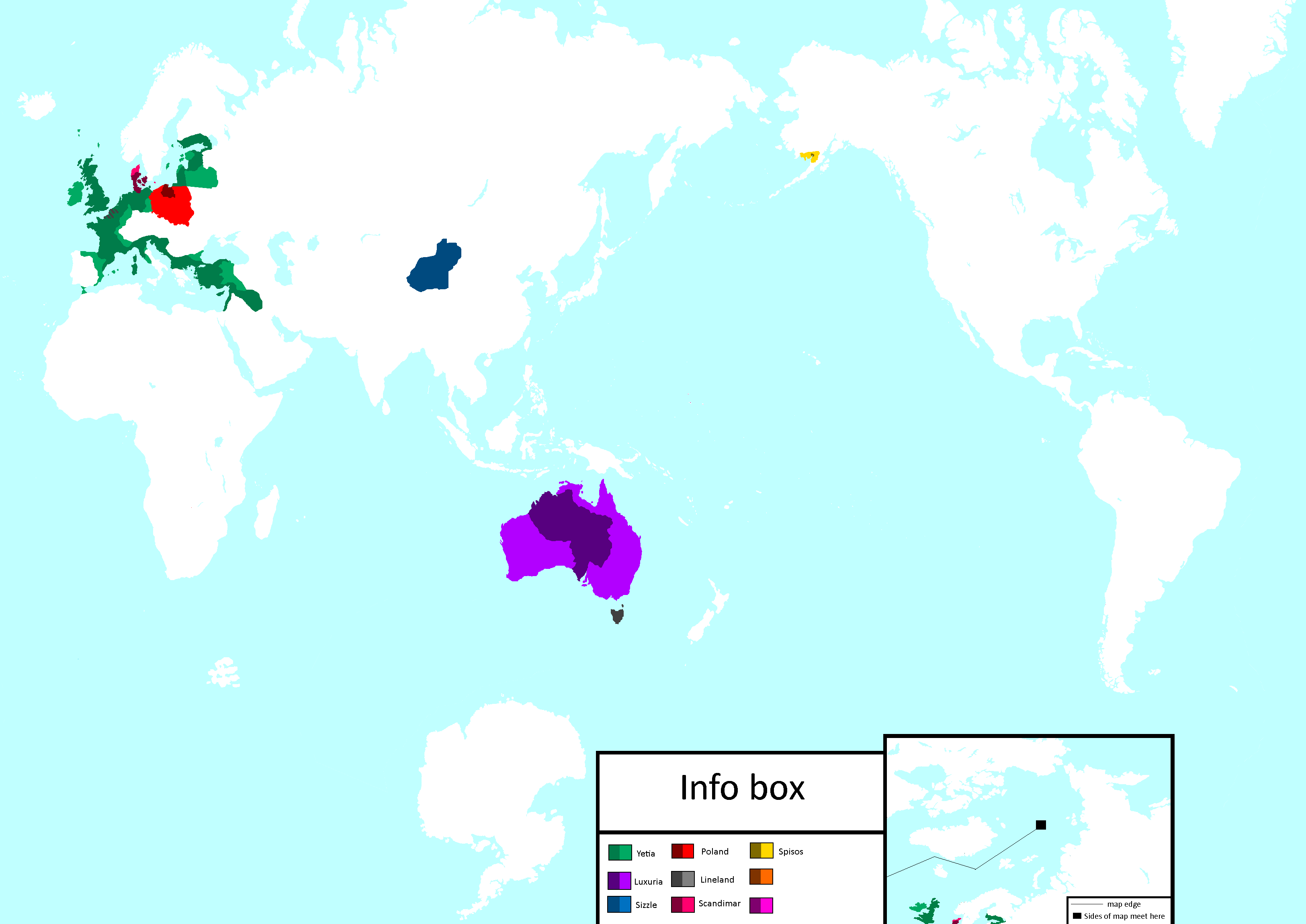
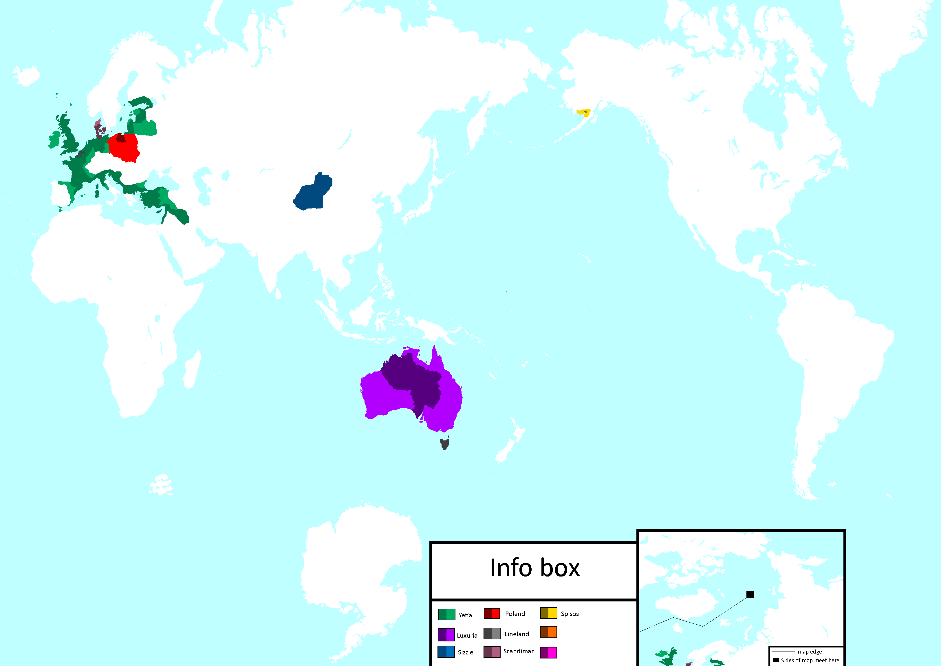
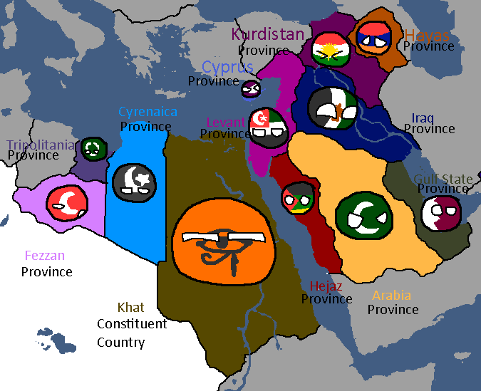
Yetian Provinces: Year 119 (Countryballs)
-
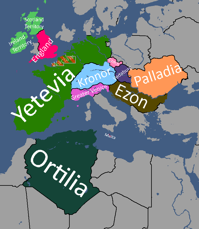
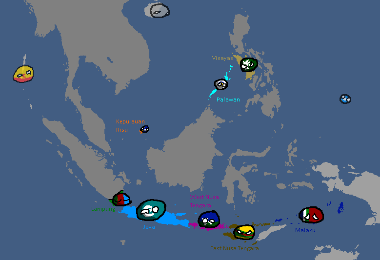
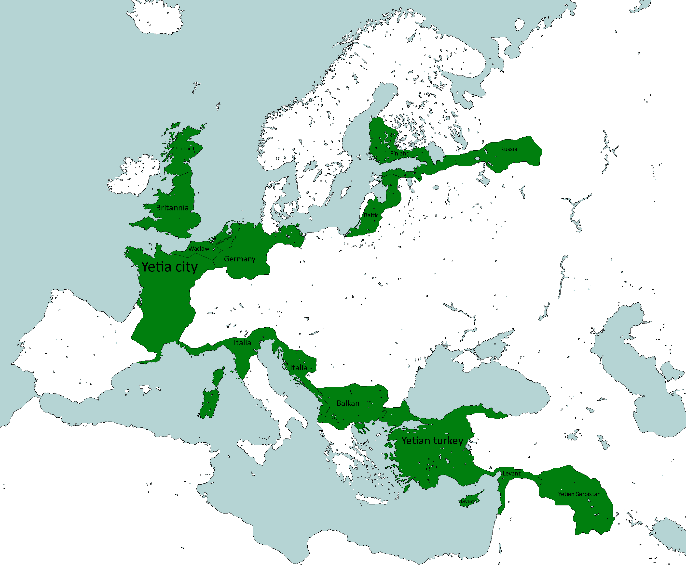
Yetian Provinces: Year 119
-
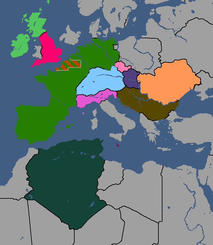
Yetian Provinces: Year 119 (Nameless)


Yorican Maps
yoricastates.png|Yorican States: Year 117 yoricaoverlay.png|Yorica Overlay: Year 117 </gallery>