List of Maps: Difference between revisions
No edit summary |
No edit summary |
||
| Line 52: | Line 52: | ||
theianationclusters.png|Nation Clusters of Theia: Year 165 | theianationclusters.png|Nation Clusters of Theia: Year 165 | ||
theianativeorigins.png|Homelands of the [[Theian Natives]]: Year 171 | theianativeorigins.png|Homelands of the [[Theian Natives]]: Year 171 | ||
theiapowergrid.png|Major Powerplant Service Areas: Year 185 | |||
</gallery> | </gallery> | ||
== National Maps == | == National Maps == | ||
| Line 57: | Line 58: | ||
<gallery mode="packed"> | <gallery mode="packed"> | ||
anakistanprovinces.png|Anakistani Provinces & Regions: Year 112 | anakistanprovinces.png|Anakistani Provinces & Regions: Year 112 | ||
</gallery> | |||
===Drenemorian Maps=== | |||
<gallery mode="packed"> | |||
drenemoriaoverlay.png|Drenemoria Territorial History: Year 185 | |||
</gallery> | </gallery> | ||
===English Maps=== | ===English Maps=== | ||
| Line 98: | Line 103: | ||
linelandcountries1.png|Constituent Countries of Lineland: Year 144 (Countryballs) | linelandcountries1.png|Constituent Countries of Lineland: Year 144 (Countryballs) | ||
linelandcountries2.png|Constituent Countries of Lineland: Year 144 | linelandcountries2.png|Constituent Countries of Lineland: Year 144 | ||
terrorbombinglineland.png|Map of damages caused by Tritonian terror-bombing: Year 185 | |||
</gallery> | </gallery> | ||
===Nakamaian Maps=== | ===Nakamaian Maps=== | ||
| Line 191: | Line 197: | ||
<gallery mode="packed"> | <gallery mode="packed"> | ||
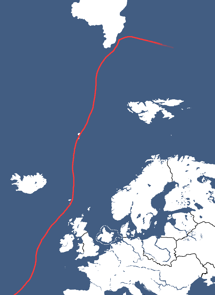
alyphiacurrent.png|Map of the [[Alyphia Current]] | alyphiacurrent.png|Map of the [[Alyphia Current]] | ||
newmylatsk.png|Neighbourhoods of [[New Mylatsk]] | |||
</gallery> | </gallery> | ||
{{OfficialMaps}} | {{OfficialMaps}} | ||
Revision as of 17:00, 1 May 2025
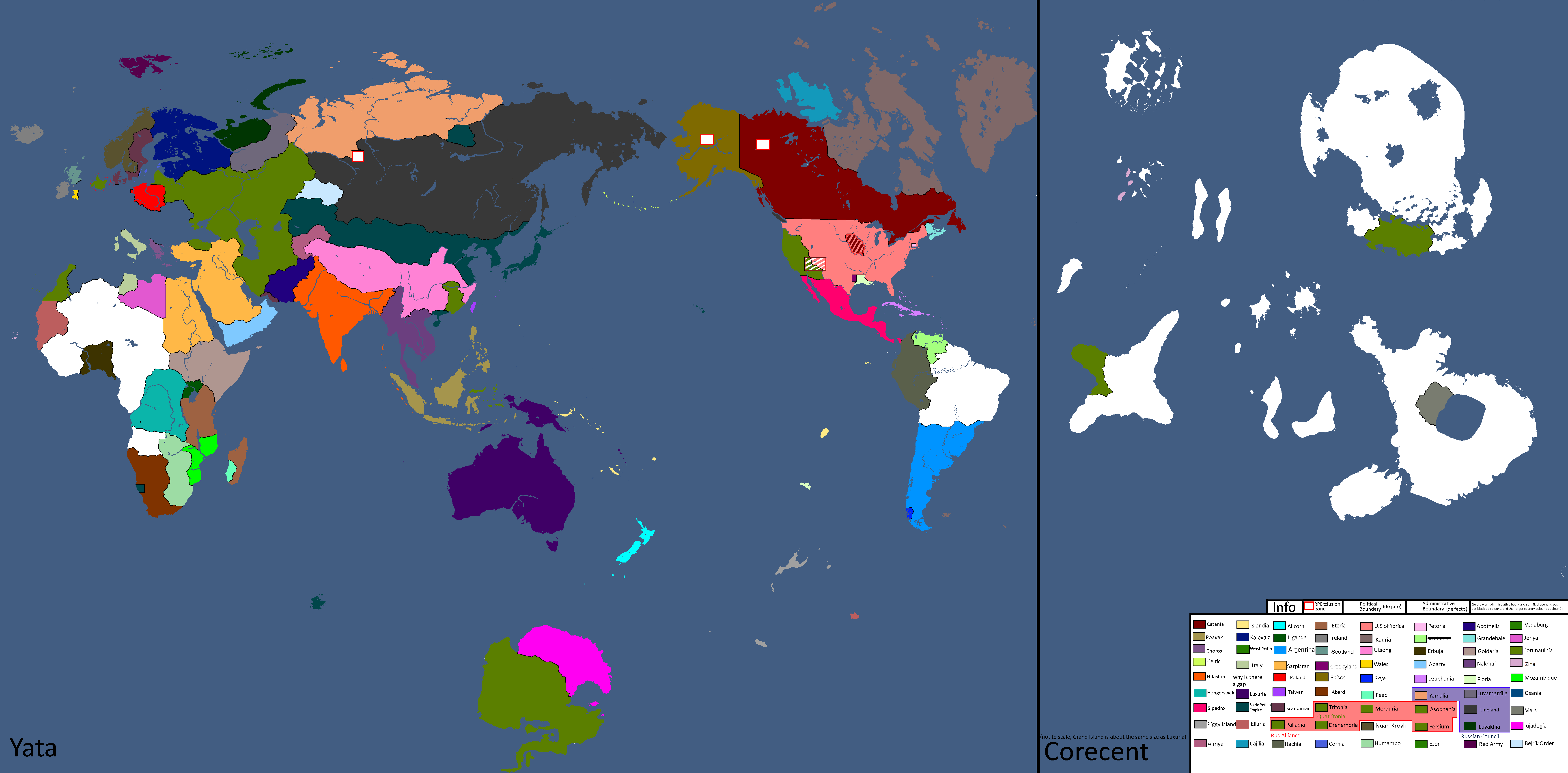
International Maps
Yatan Maps
-
Lost Archives Map: 1
-
Lost Archives Map: 2
-
Lost Archives Map: 3
-
Lost Archives Map: 4
-
Lost Archives Map: 5
-
Lost Archives Map: 6
-
Lost Archives: Nuclear Test Map
-
-
Map of the end of World War 2
-
Map of early World War 3
-
Yomtach Tribes: Year 85¨
-
Pixels in sizes: Year 90
-
What Quatritonia calls the world
-
Year 97
-
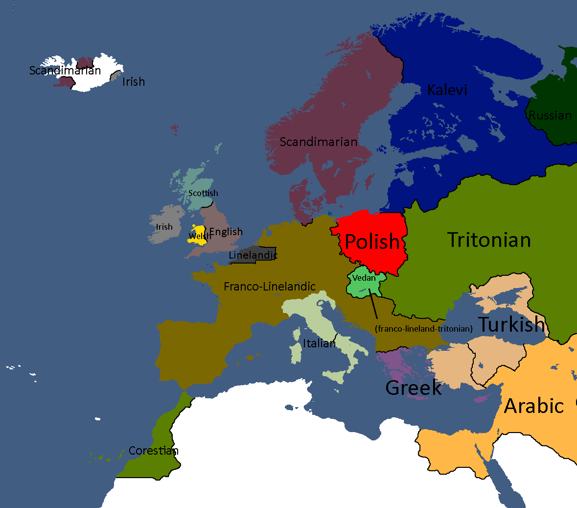
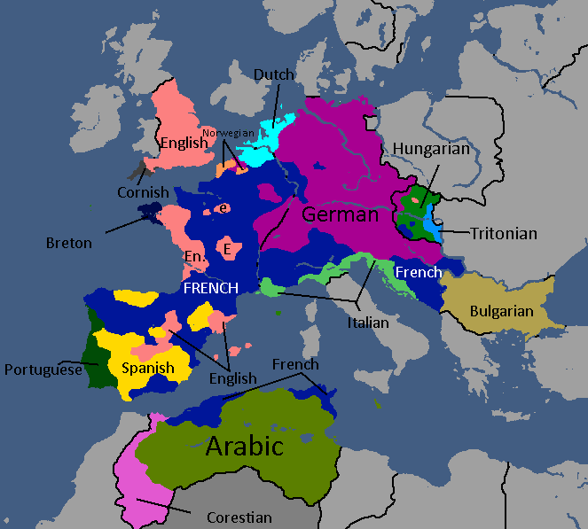
European Cultures: Year 103
-
Unlabled
-
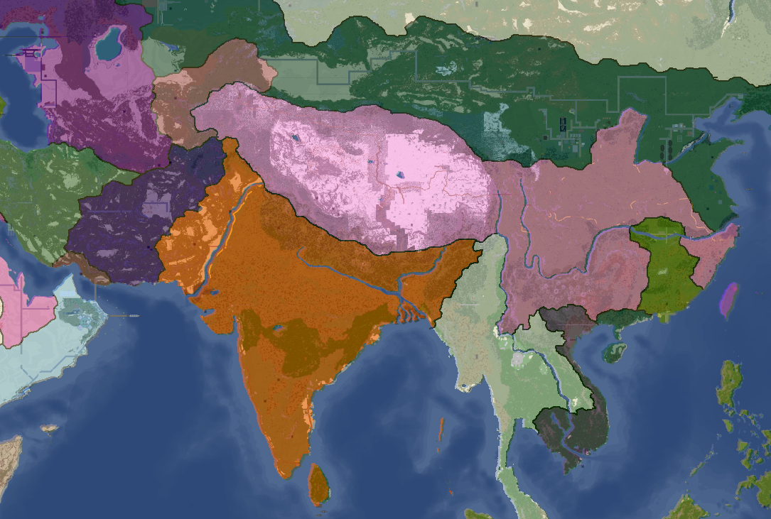
South Asia Overlay: Year 112
-
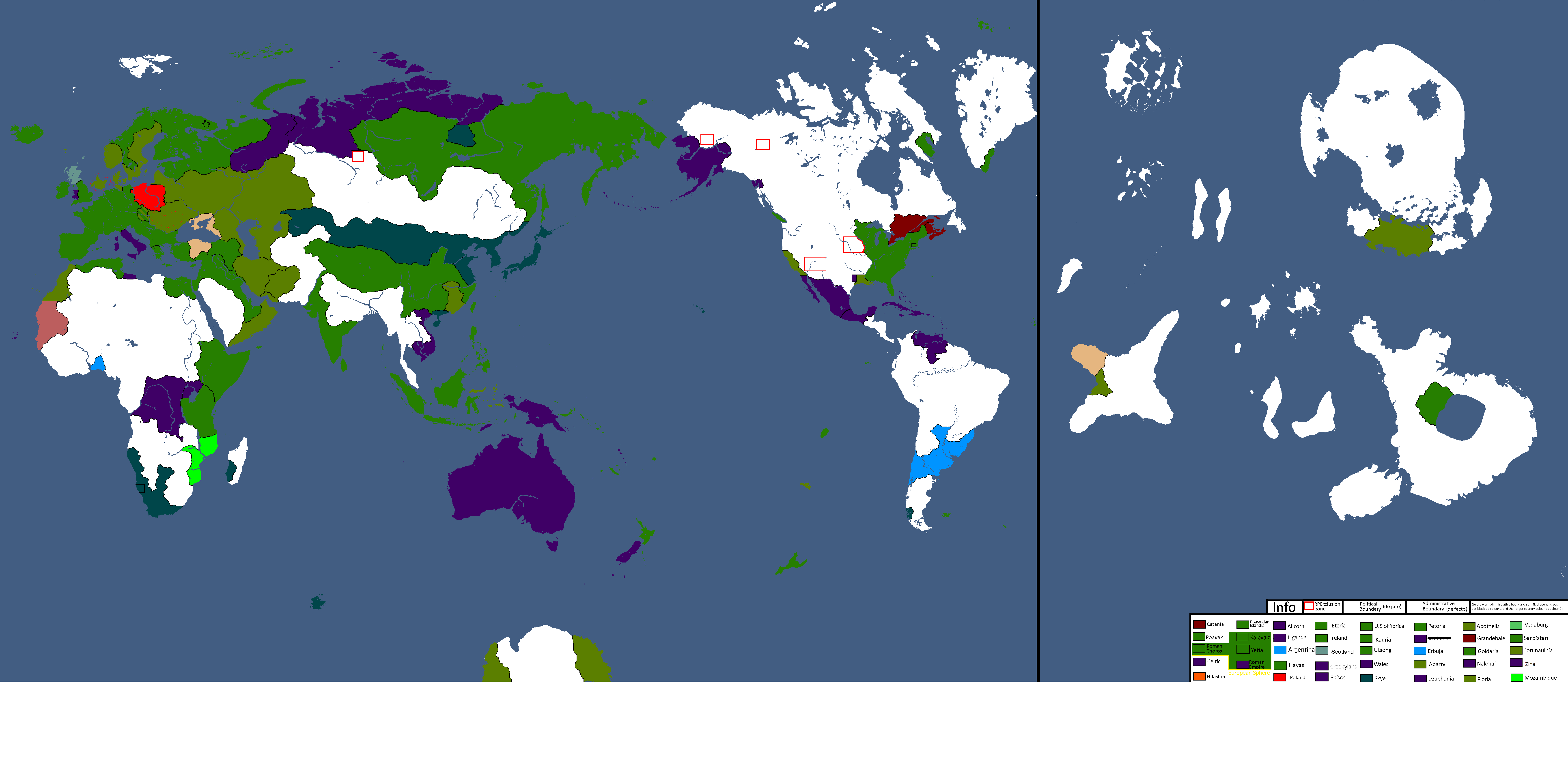
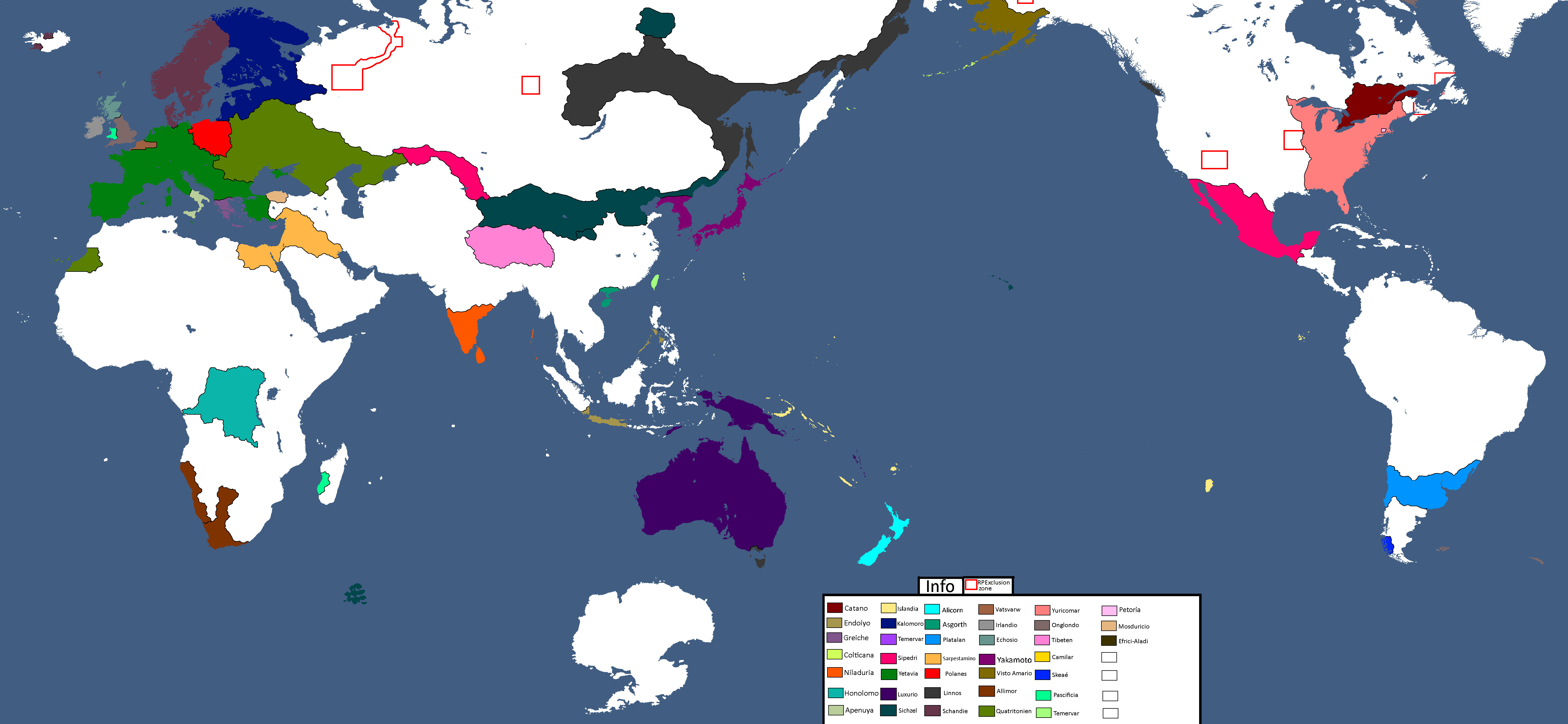
Nation Owners Map: Year 112
-
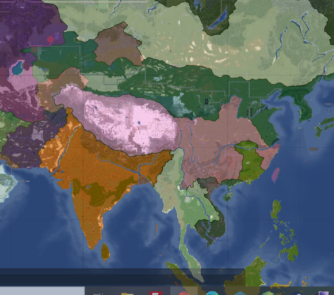
South Asia Overlay: Year 112 (2)
-
Communist Governments: Year 112
-
Asia Overlay: Year 113
-
Population of Yata's Countries: Year 114
-
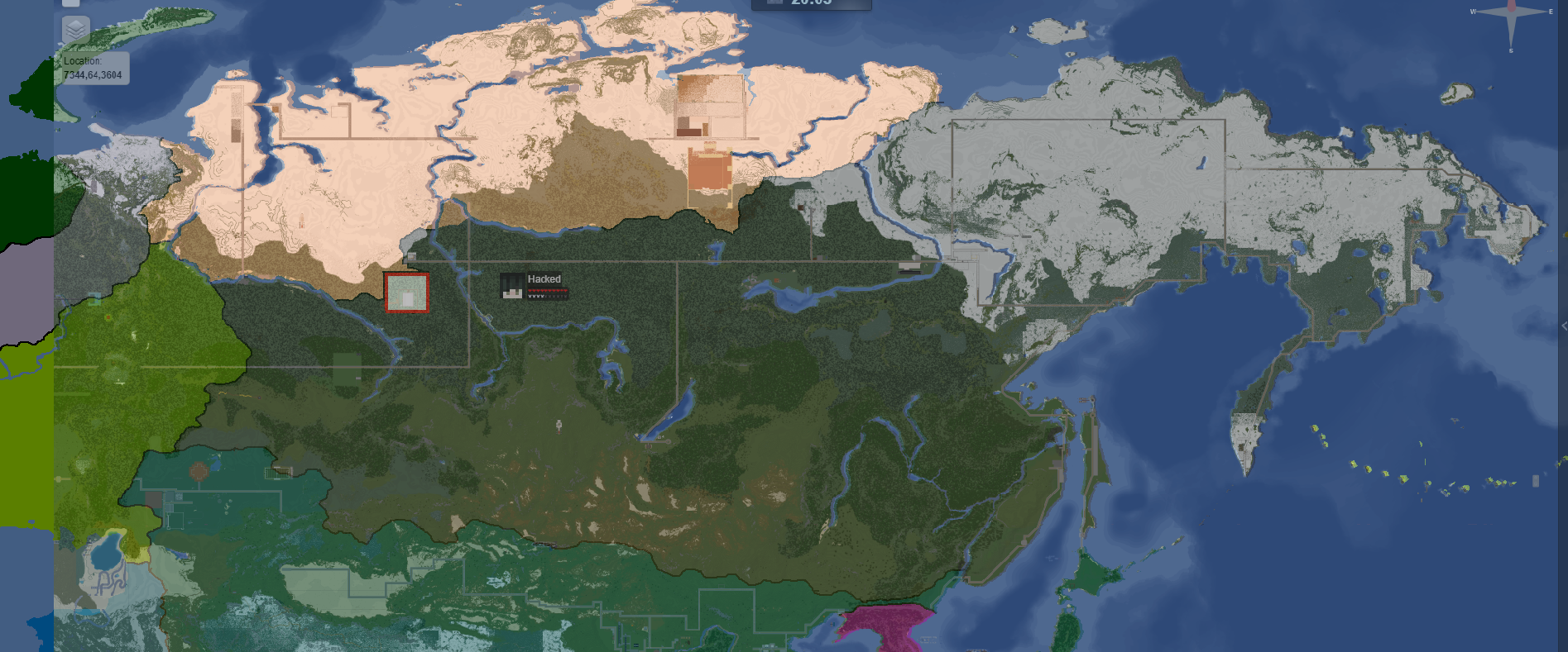
Northern Canada Overlay: Year 114
-
IRL Countries with no claims in them on YATA: Year 115
-

Europe's Population Density: Year 115
-
"Yata if it was good" meme: Year 116
-
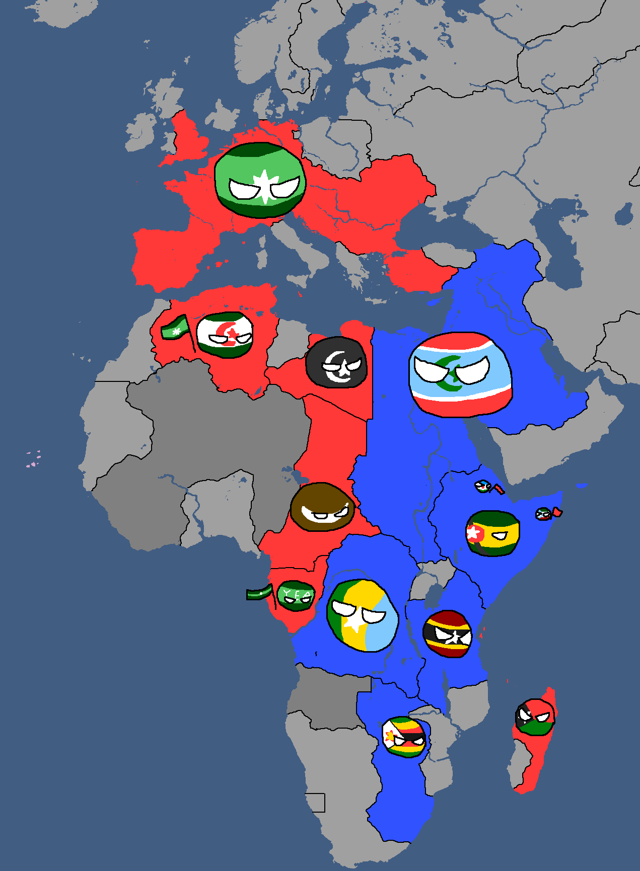
African Cold War: Year 117
-
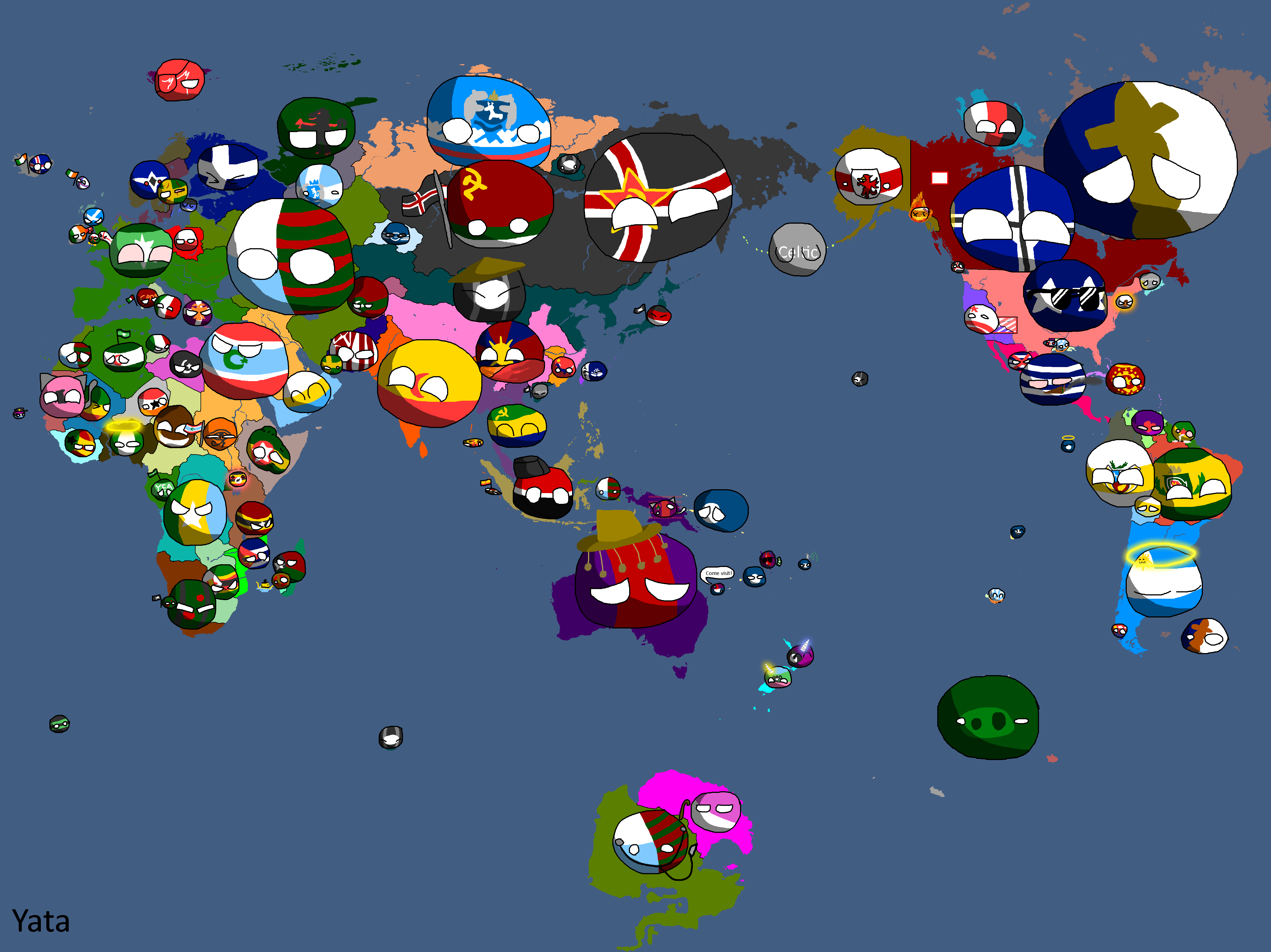
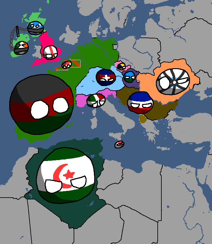
Yata Countryballs Map: Year 117
-
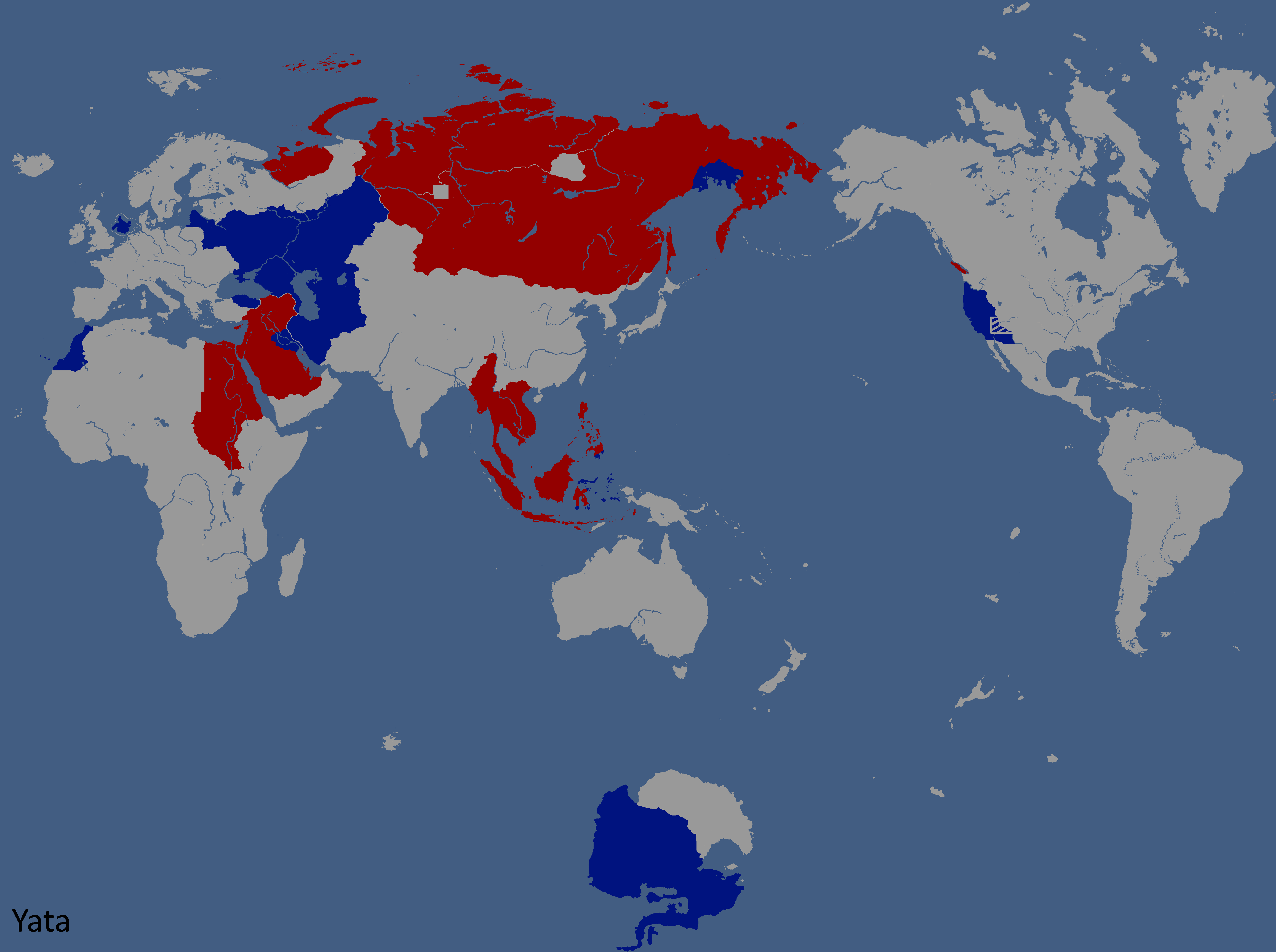
Hypothetical War between the UQSR and Aundzer Alliance: Year 117
-
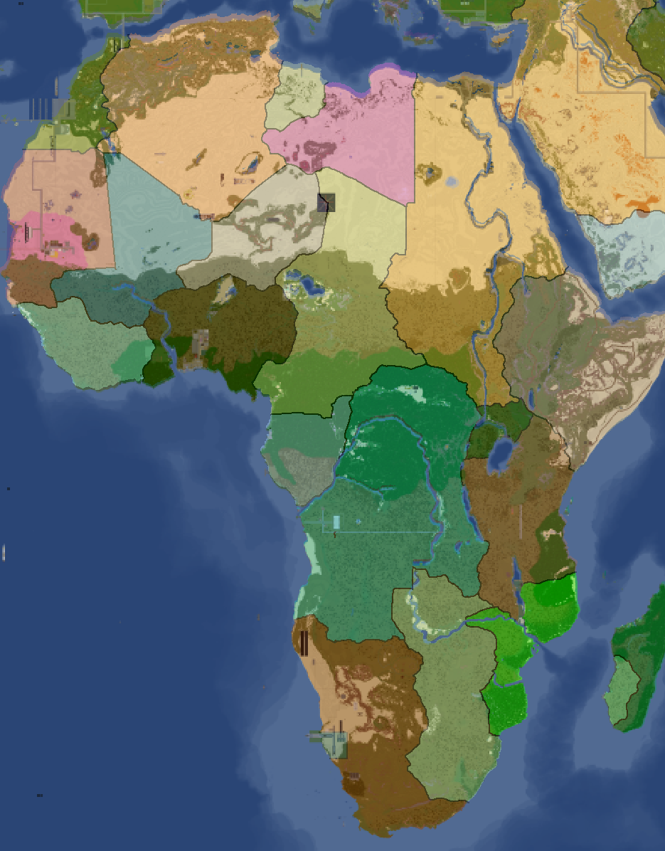
Africa Overlay: Year 117
-
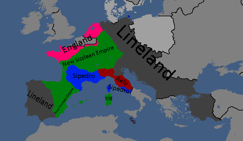
Lineland Overlay: Year 123
-
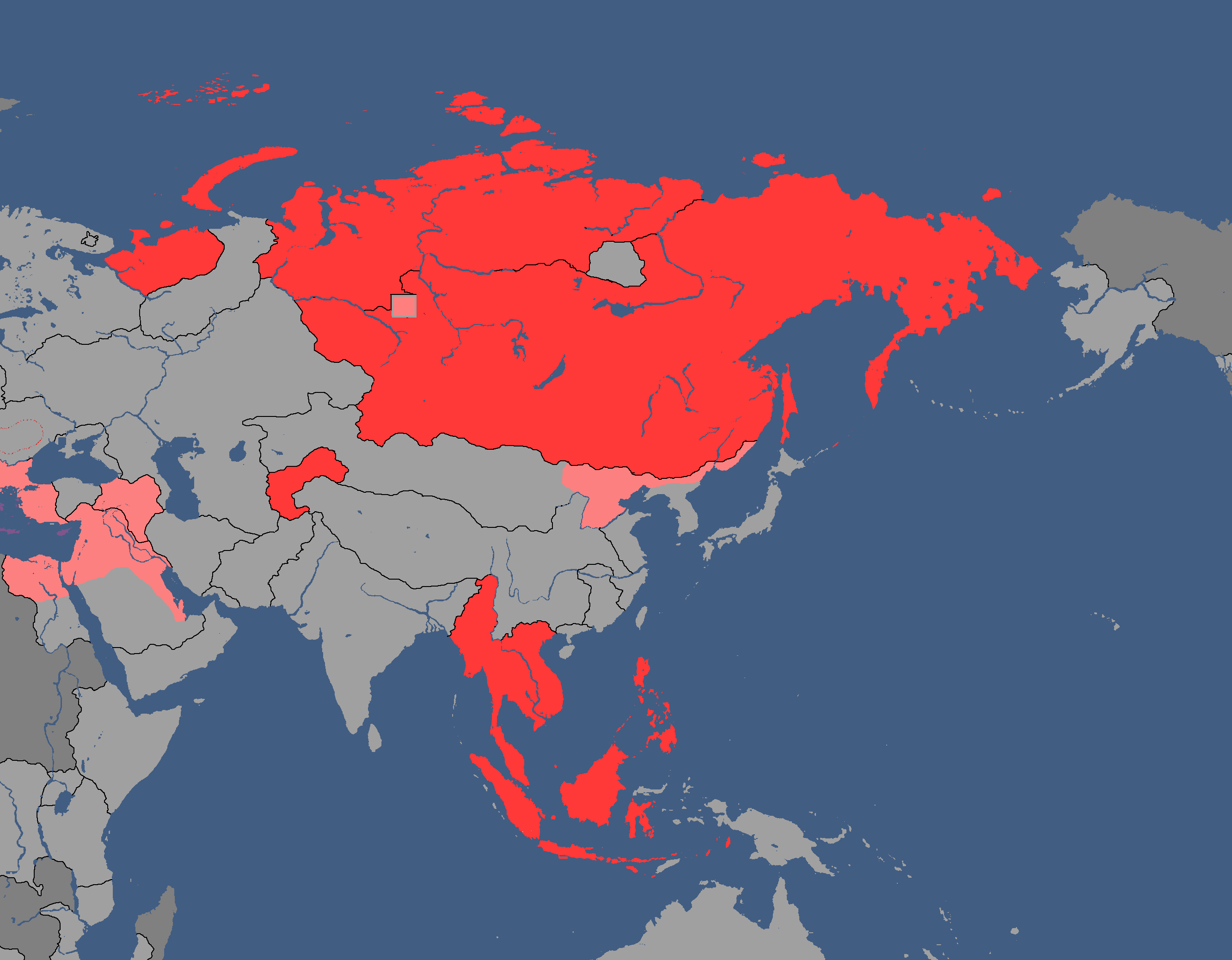
Nuclear Powers in White: Year 134
-
Map of Political Ideologies: Year 147
-
Proposed Map of Continents: Year 153
-
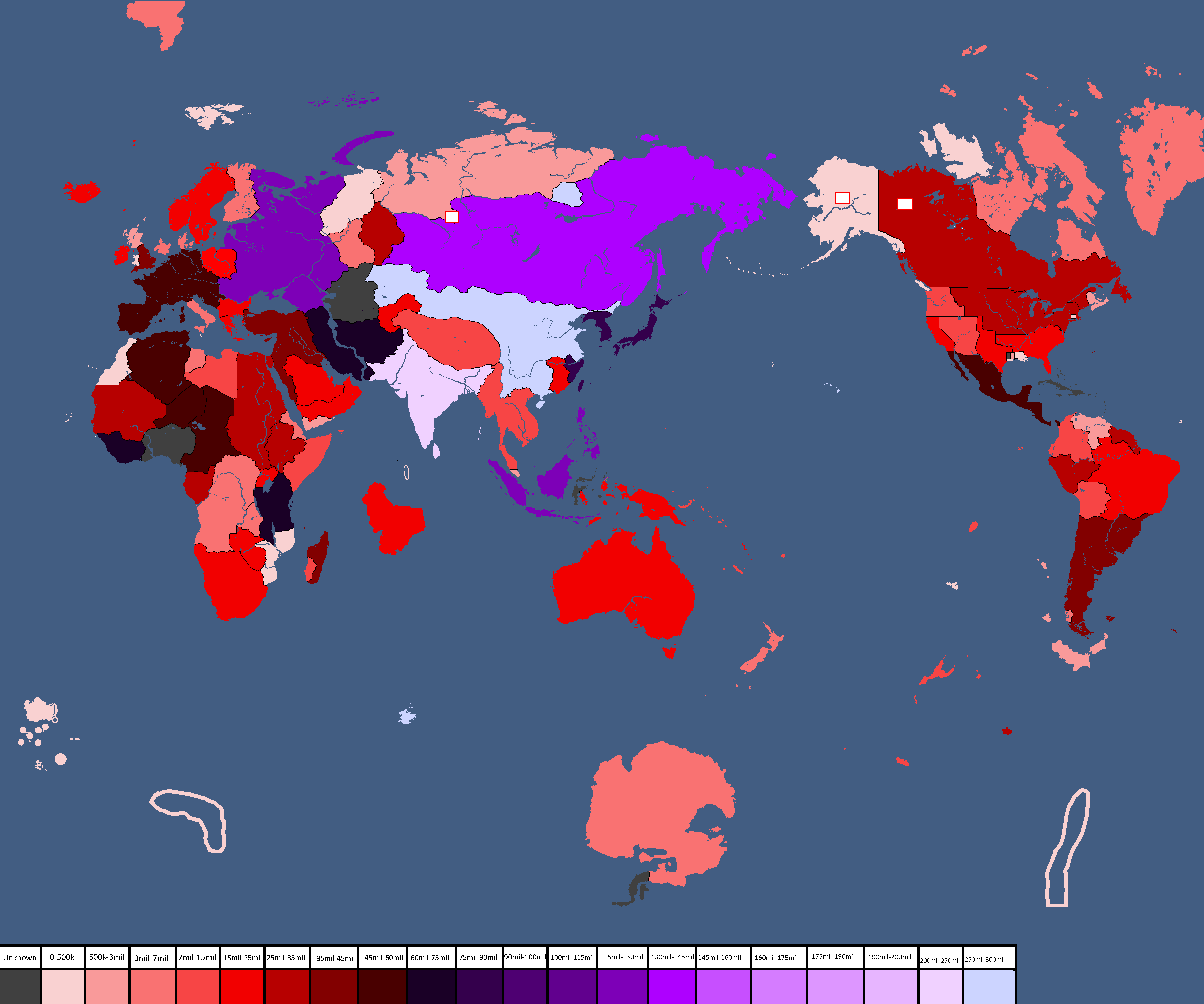
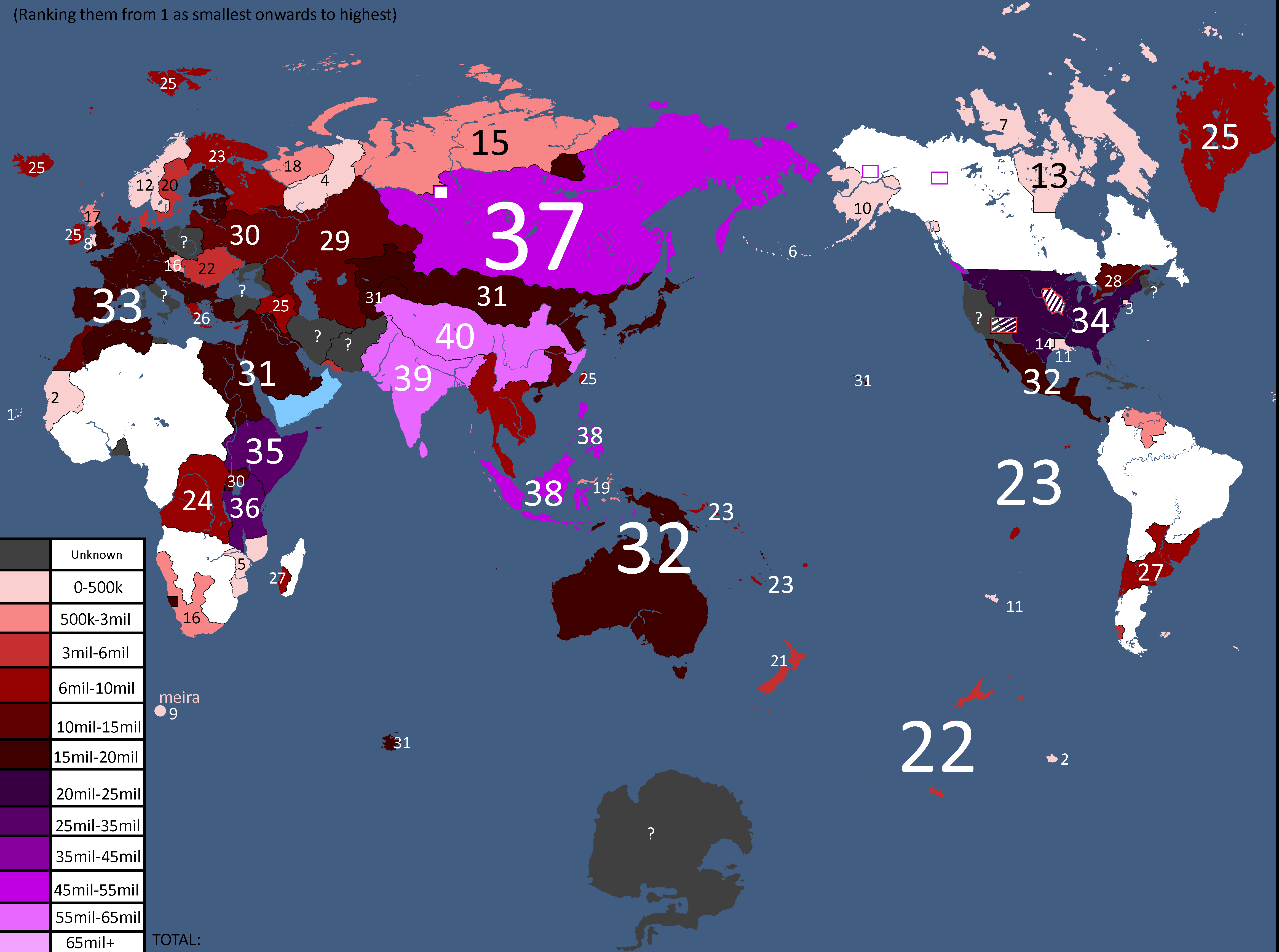
Population Map: Year 166
-
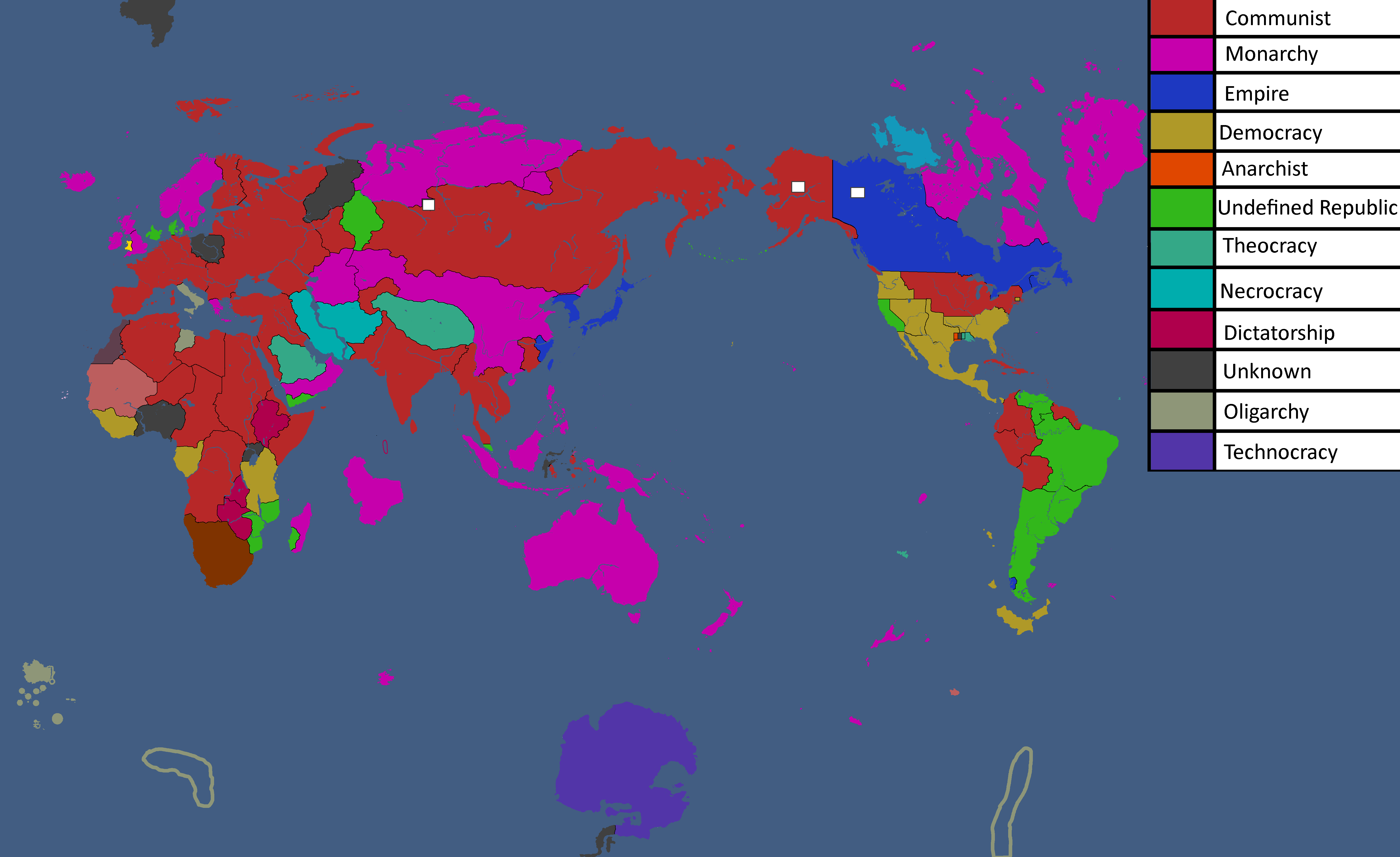
Ideology Map: Year 166
-
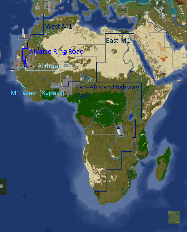
Africa Road Map: Year 168
-
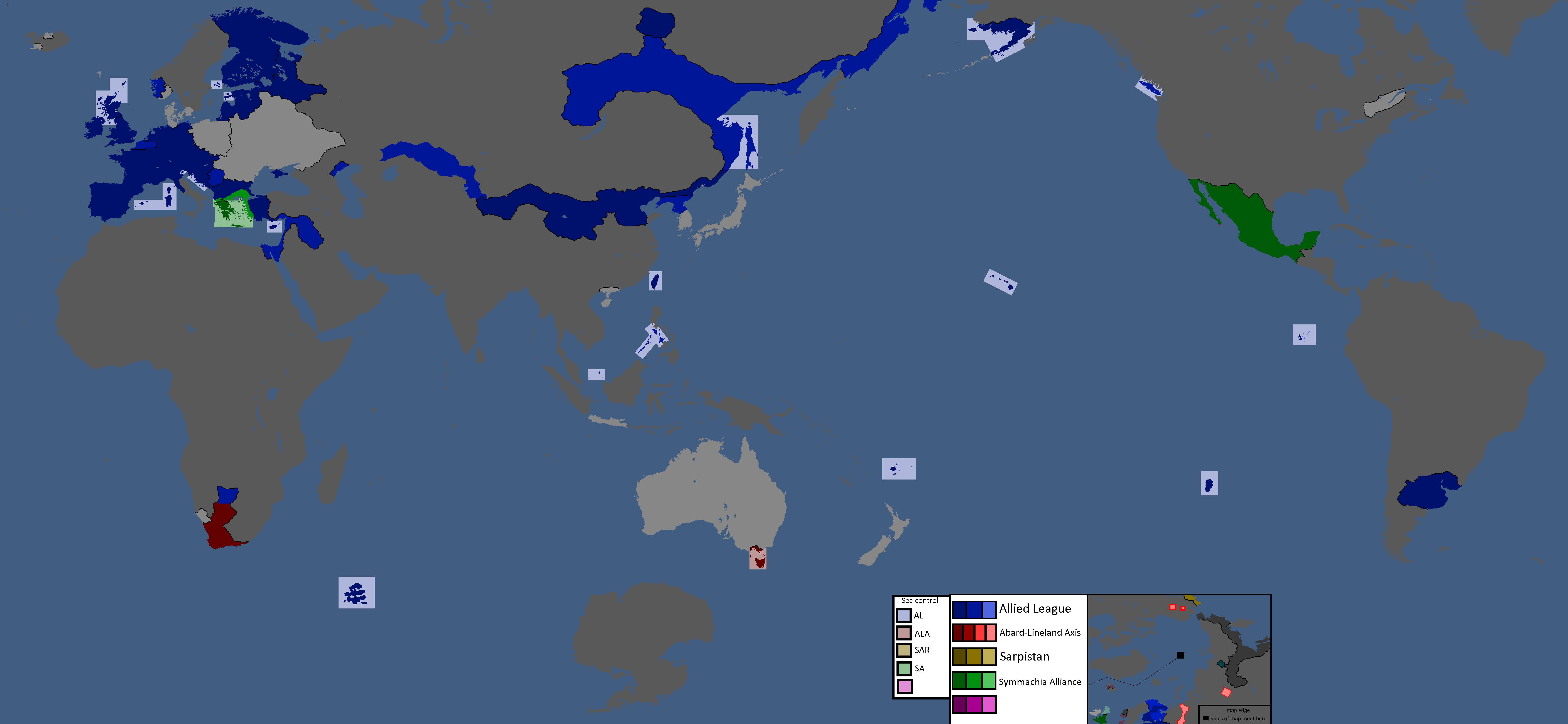
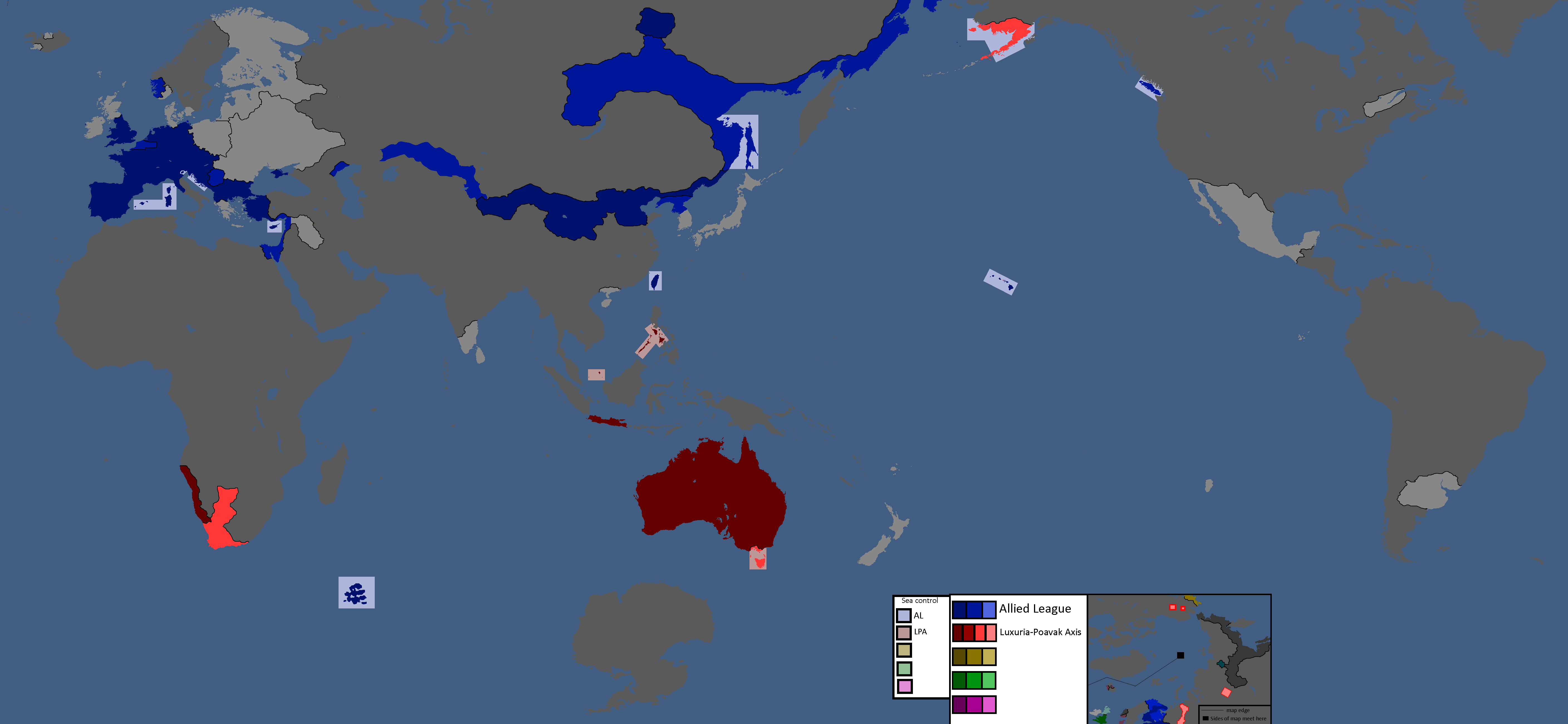
Yatan Cold War: Year 172
-
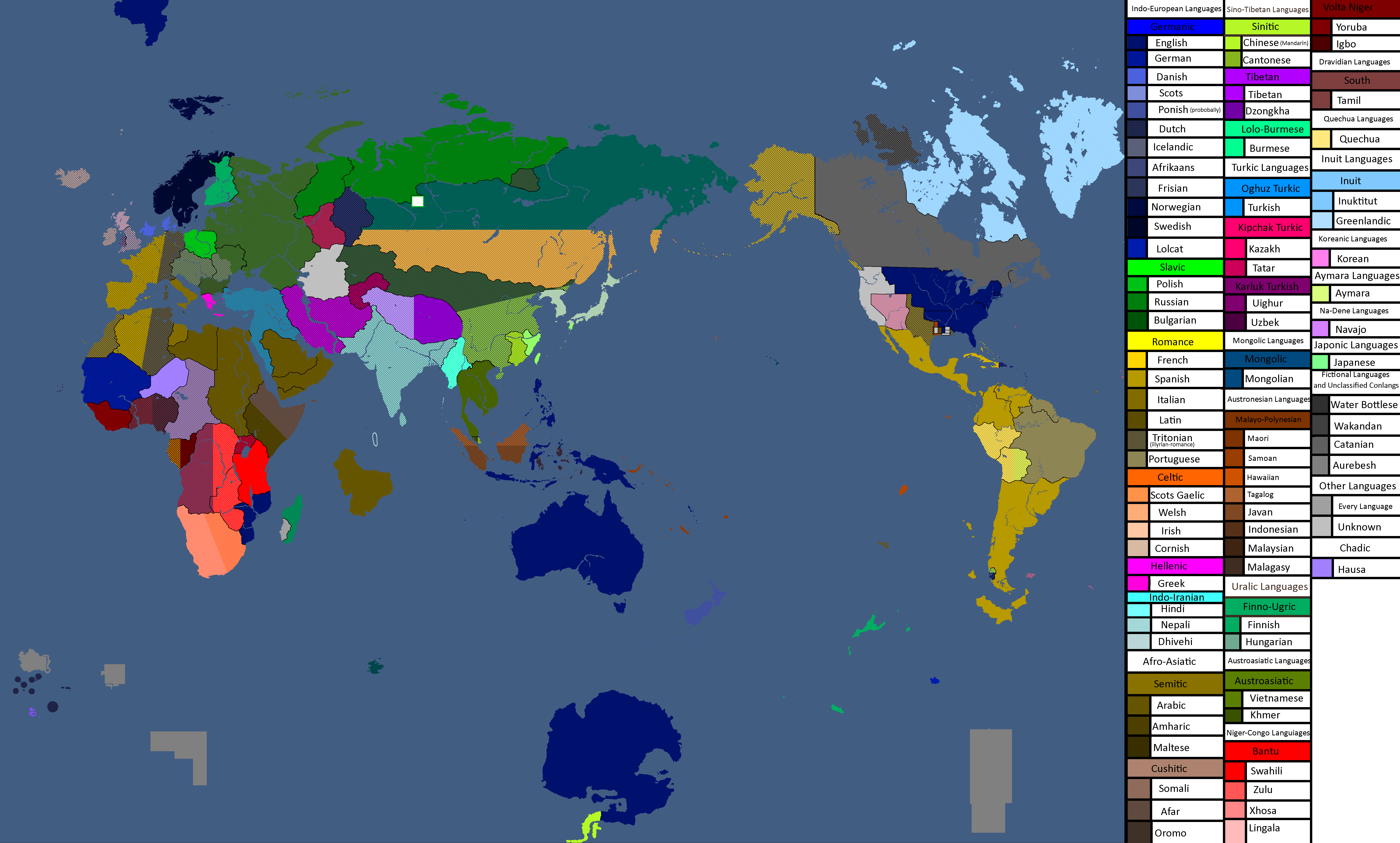
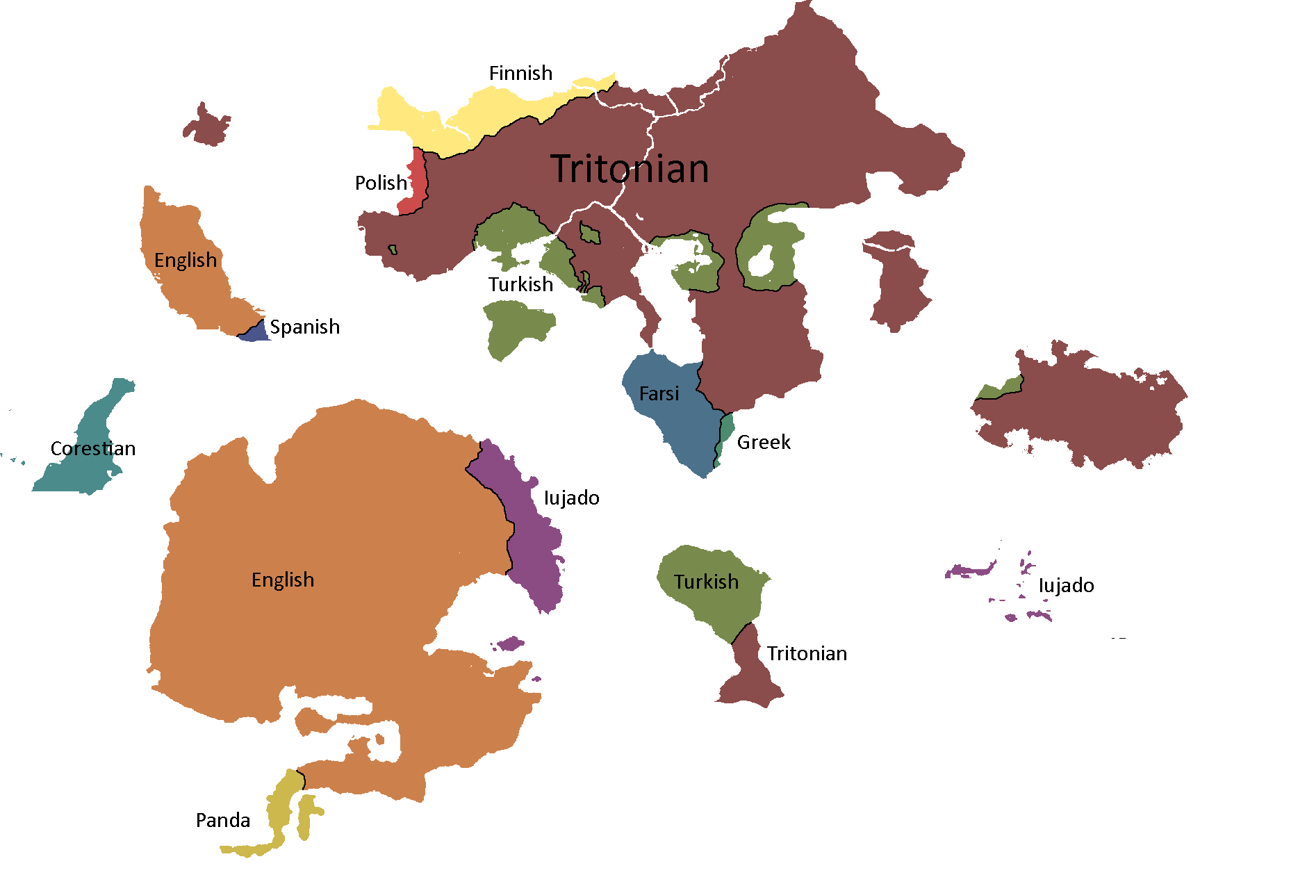
Map of Official Languages: Year 174
-
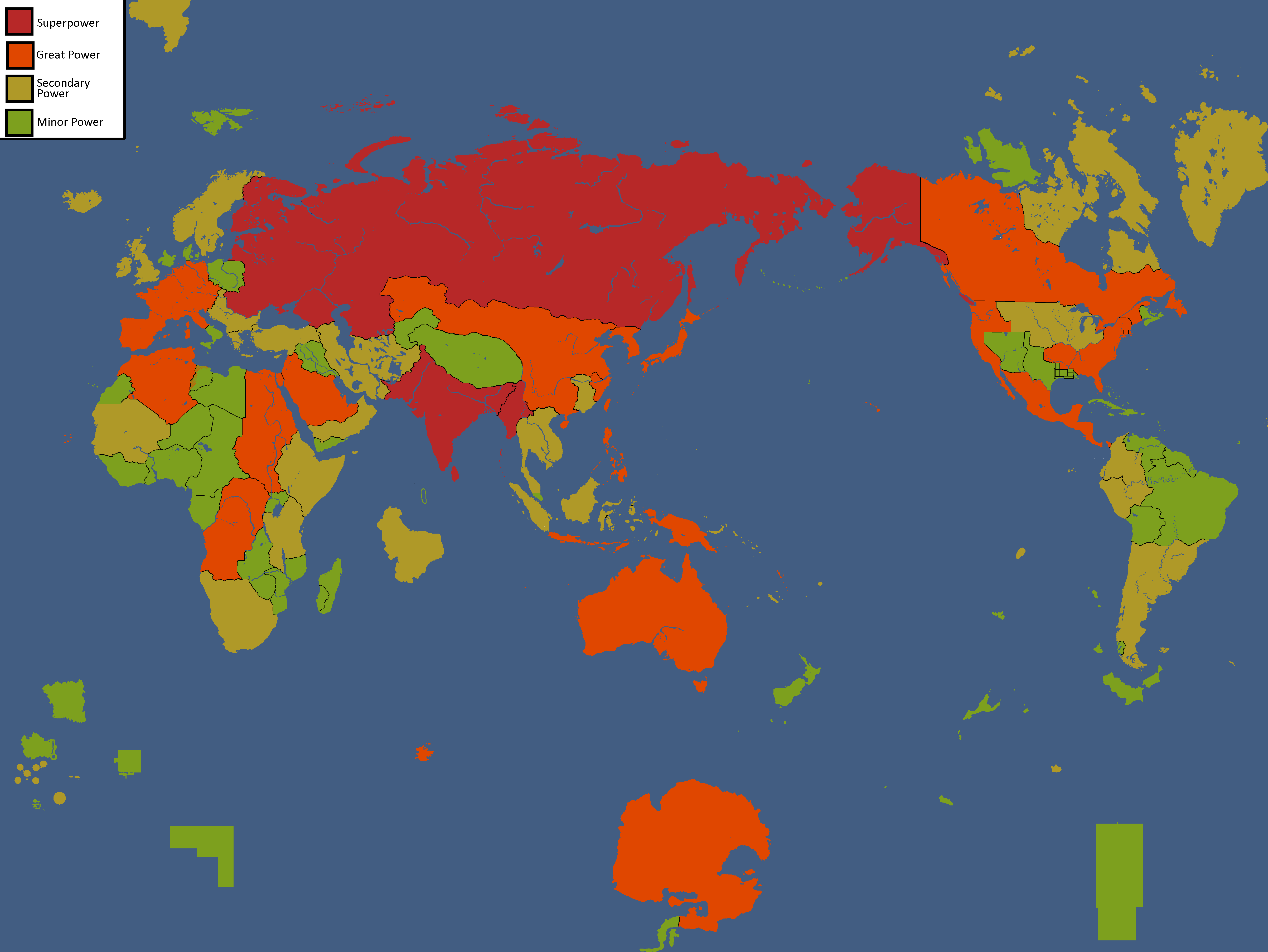
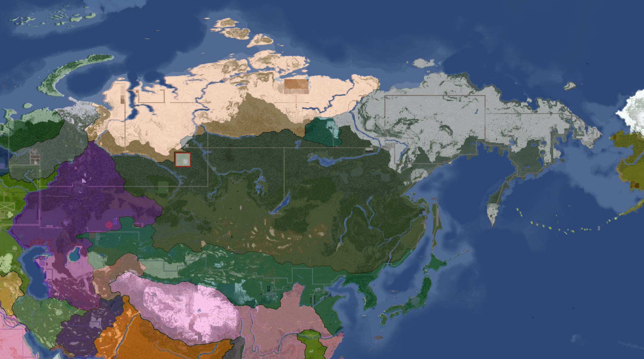
Map of Yata's Power Statuses: Year 180
-
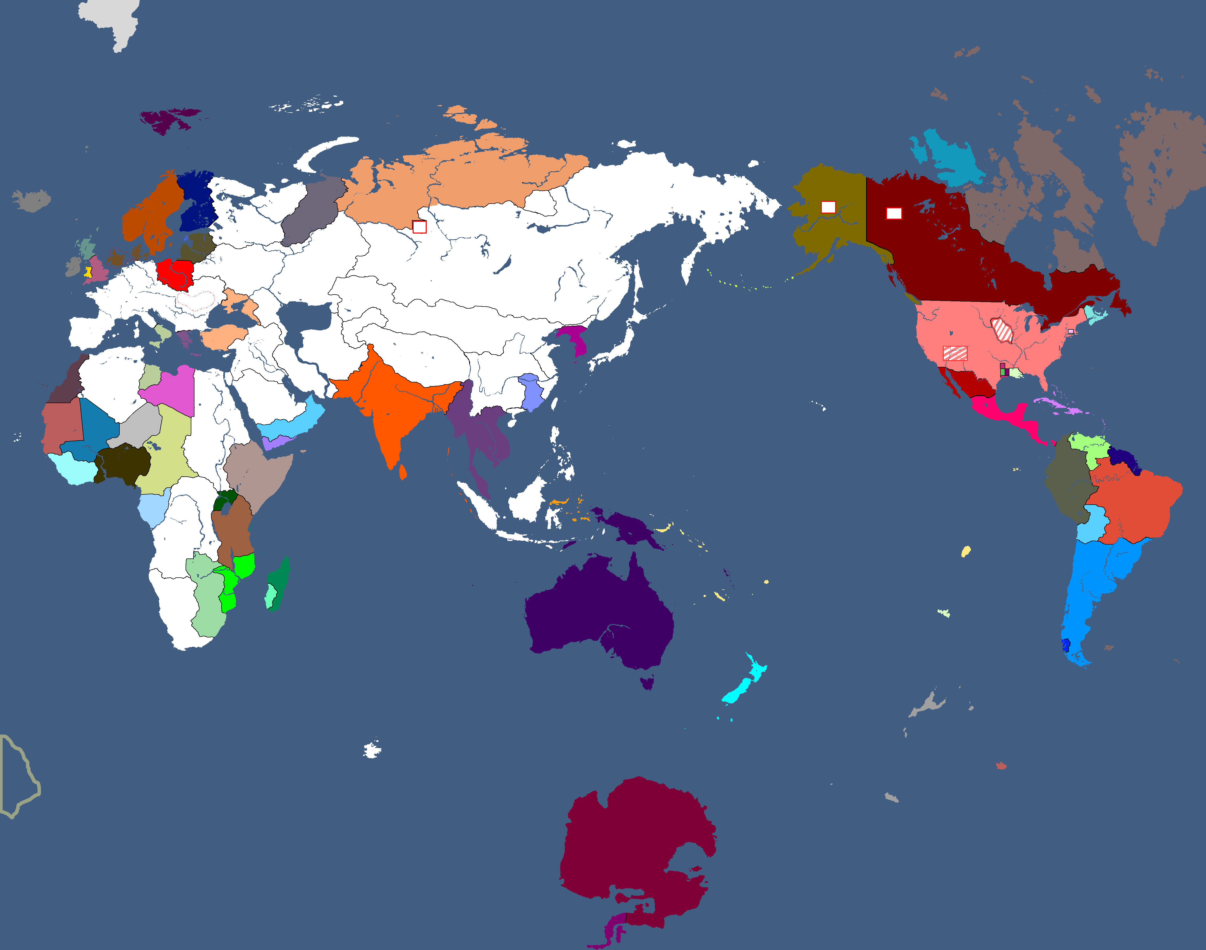
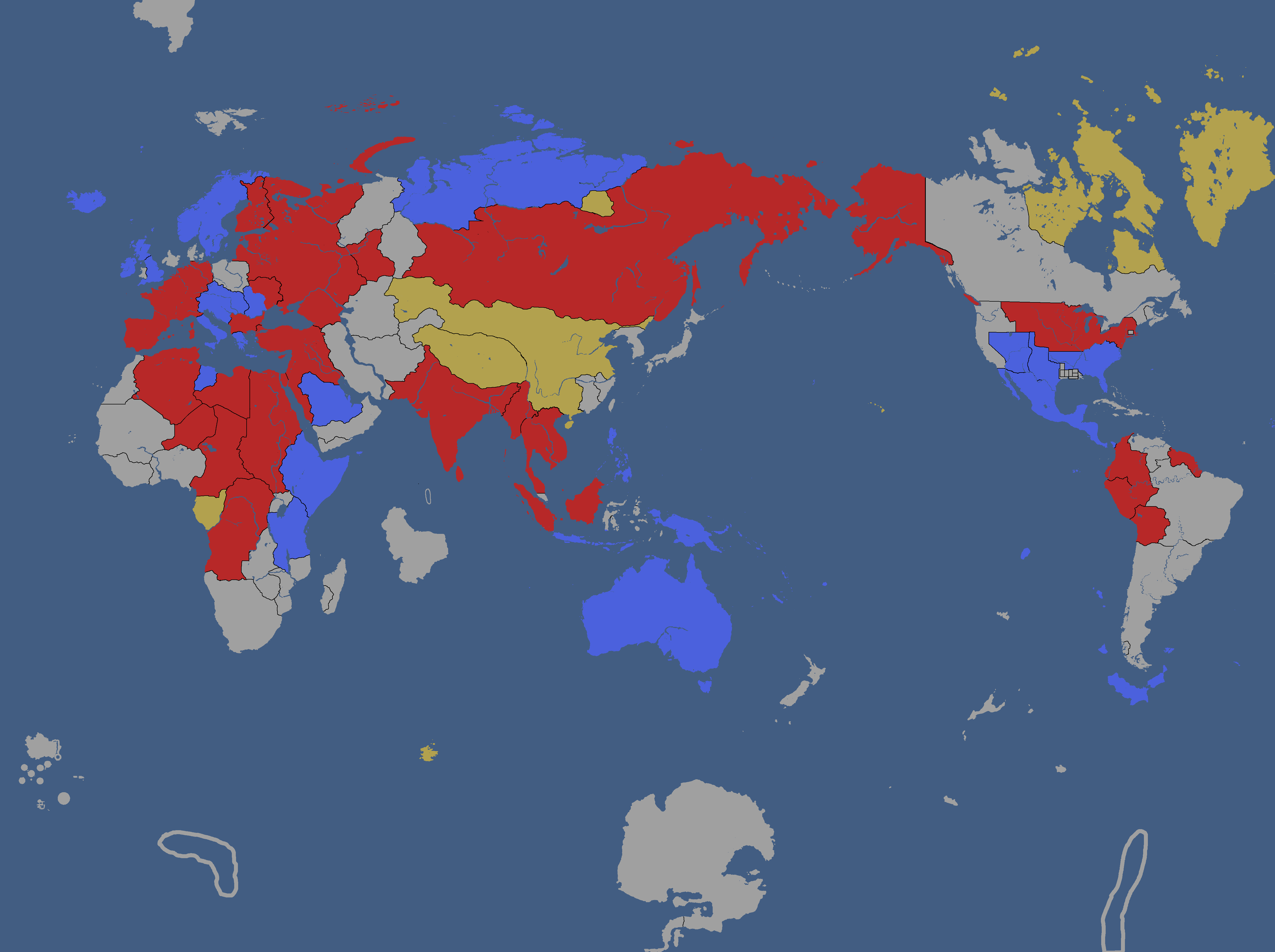
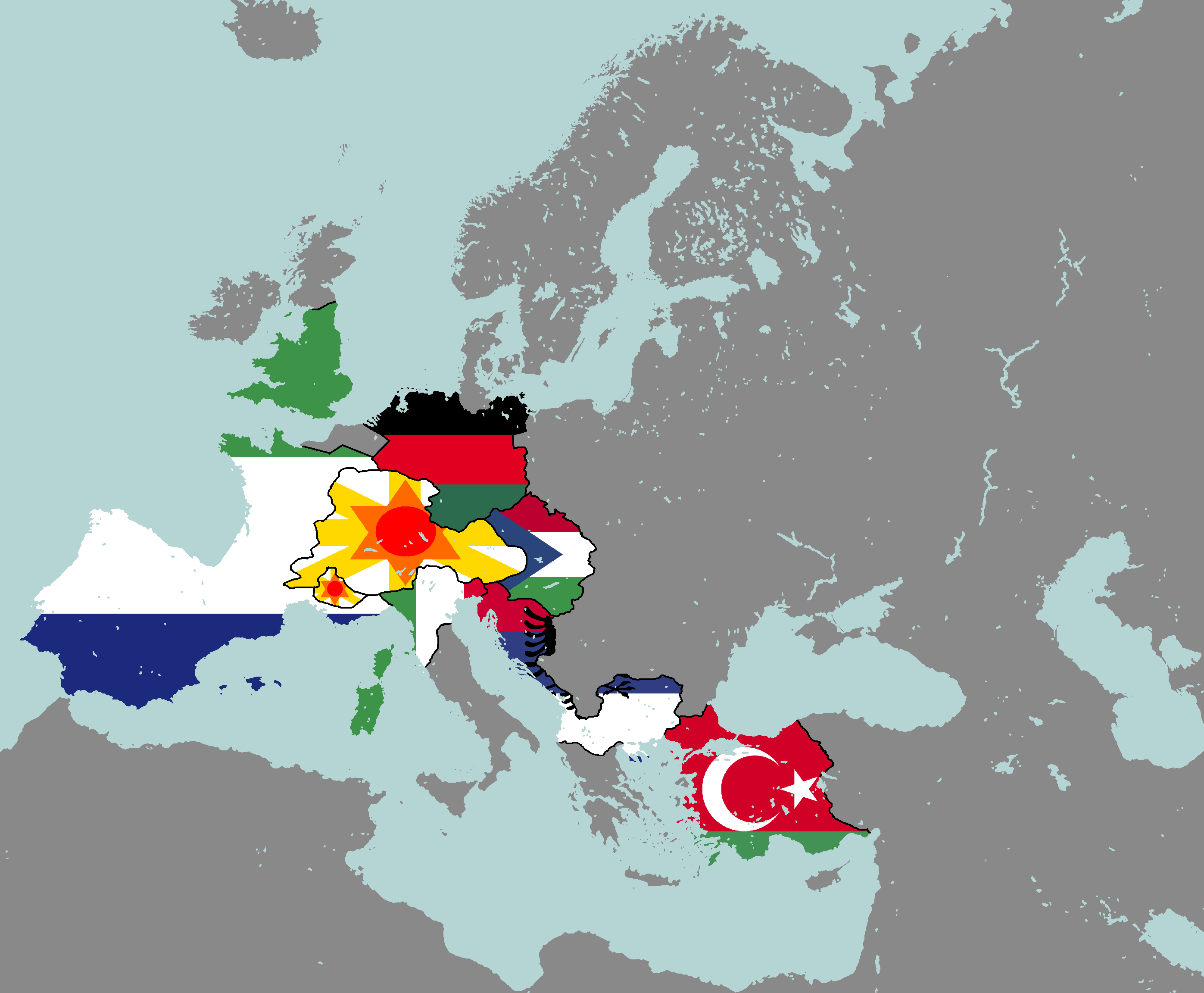
Flag Map: Year 183
-
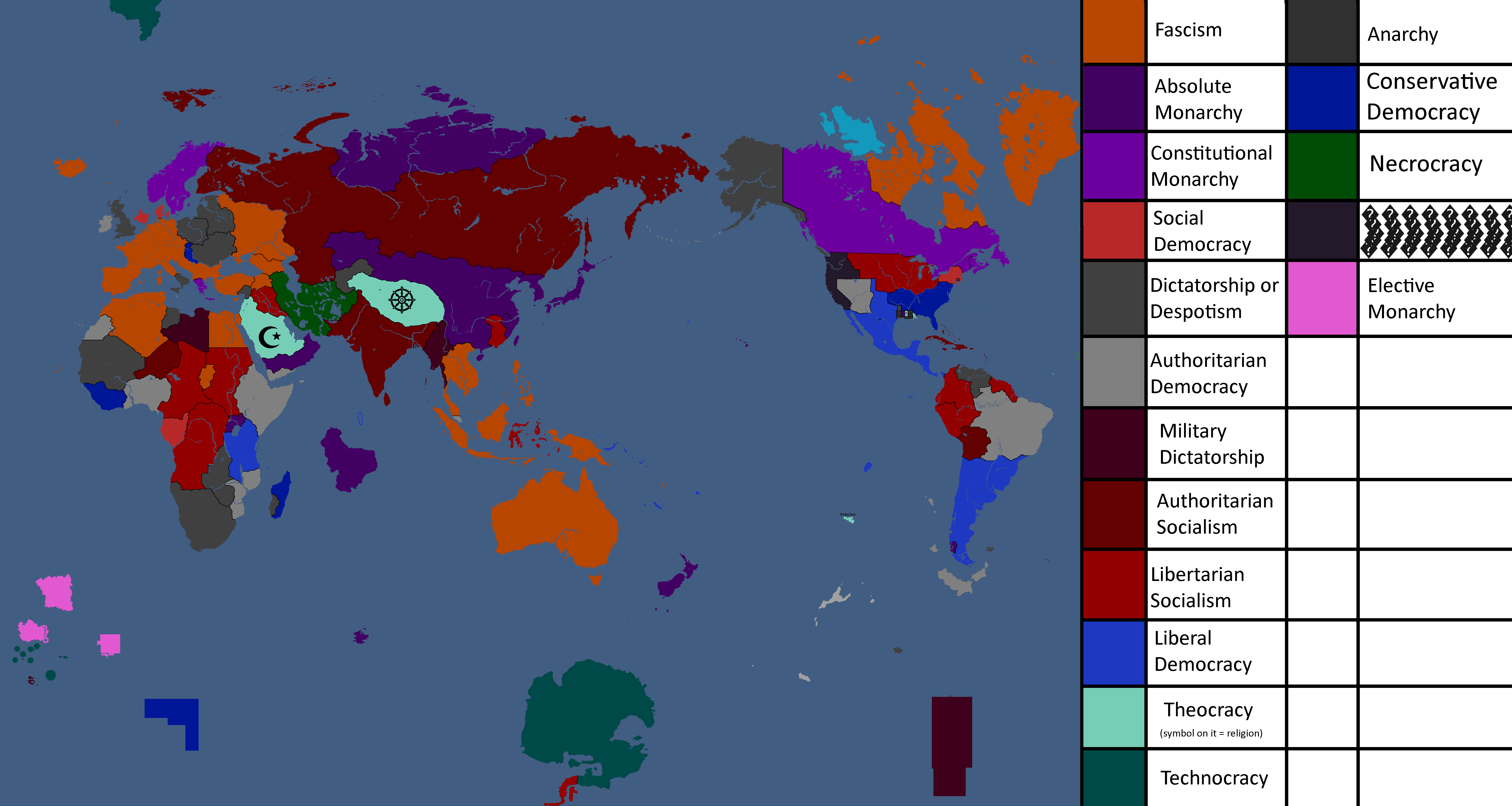
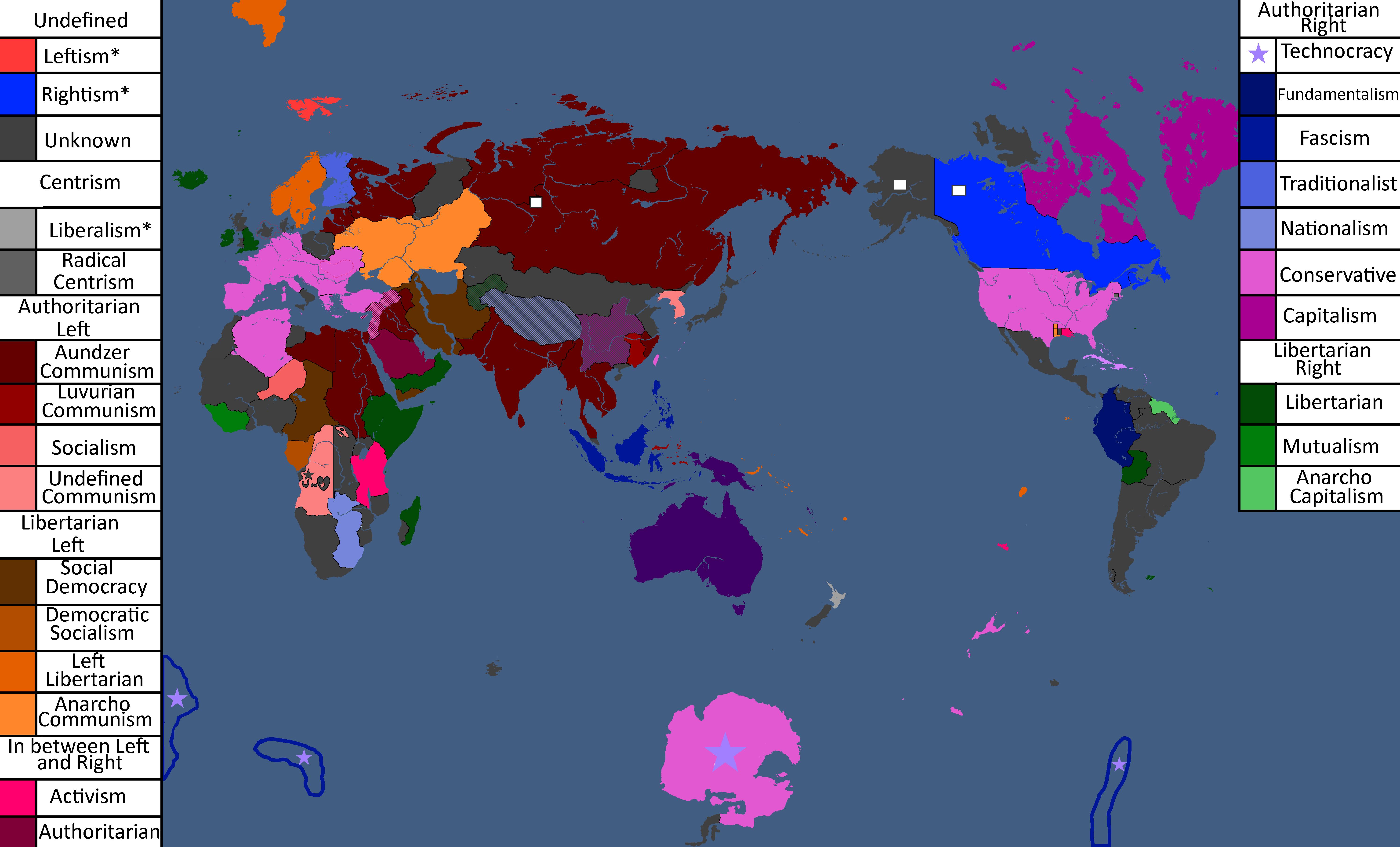
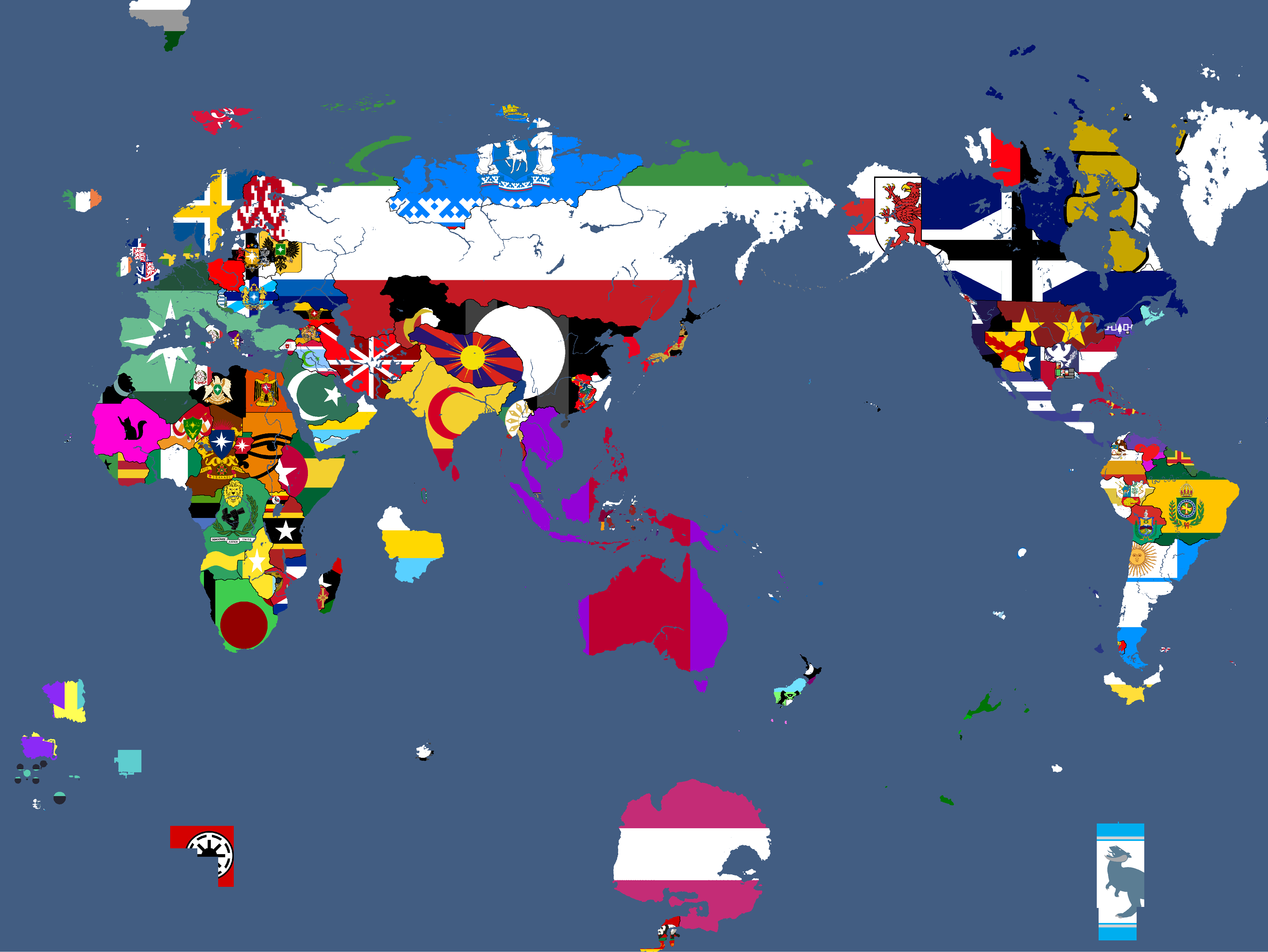
Ideology Map: Year 183


Theian Maps
-
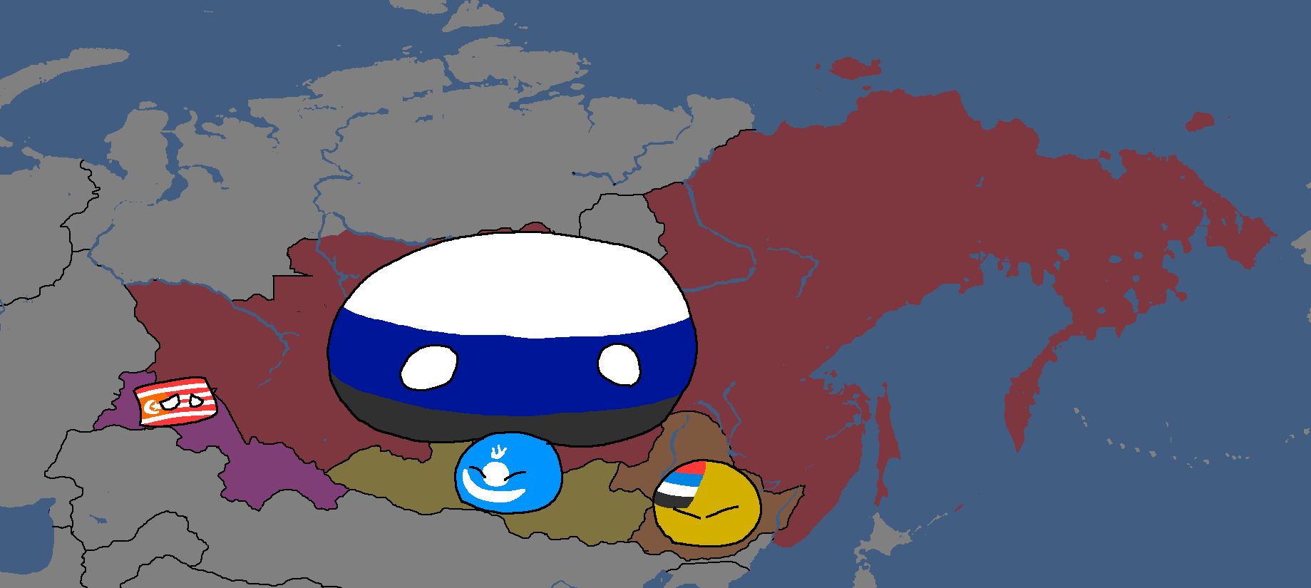
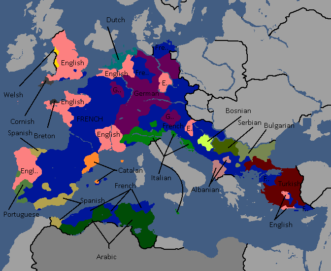
Osanian Trade Routes: Year 141
-
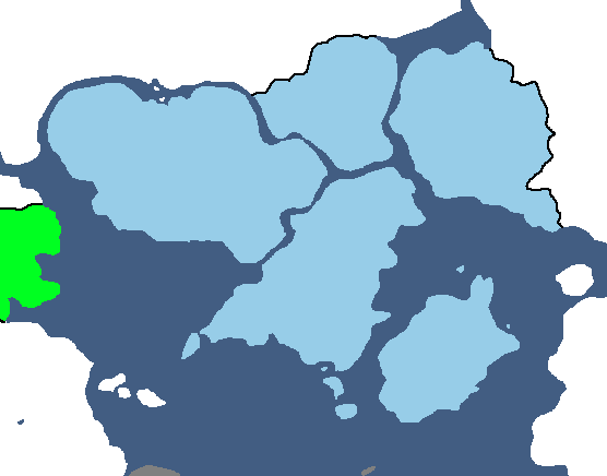
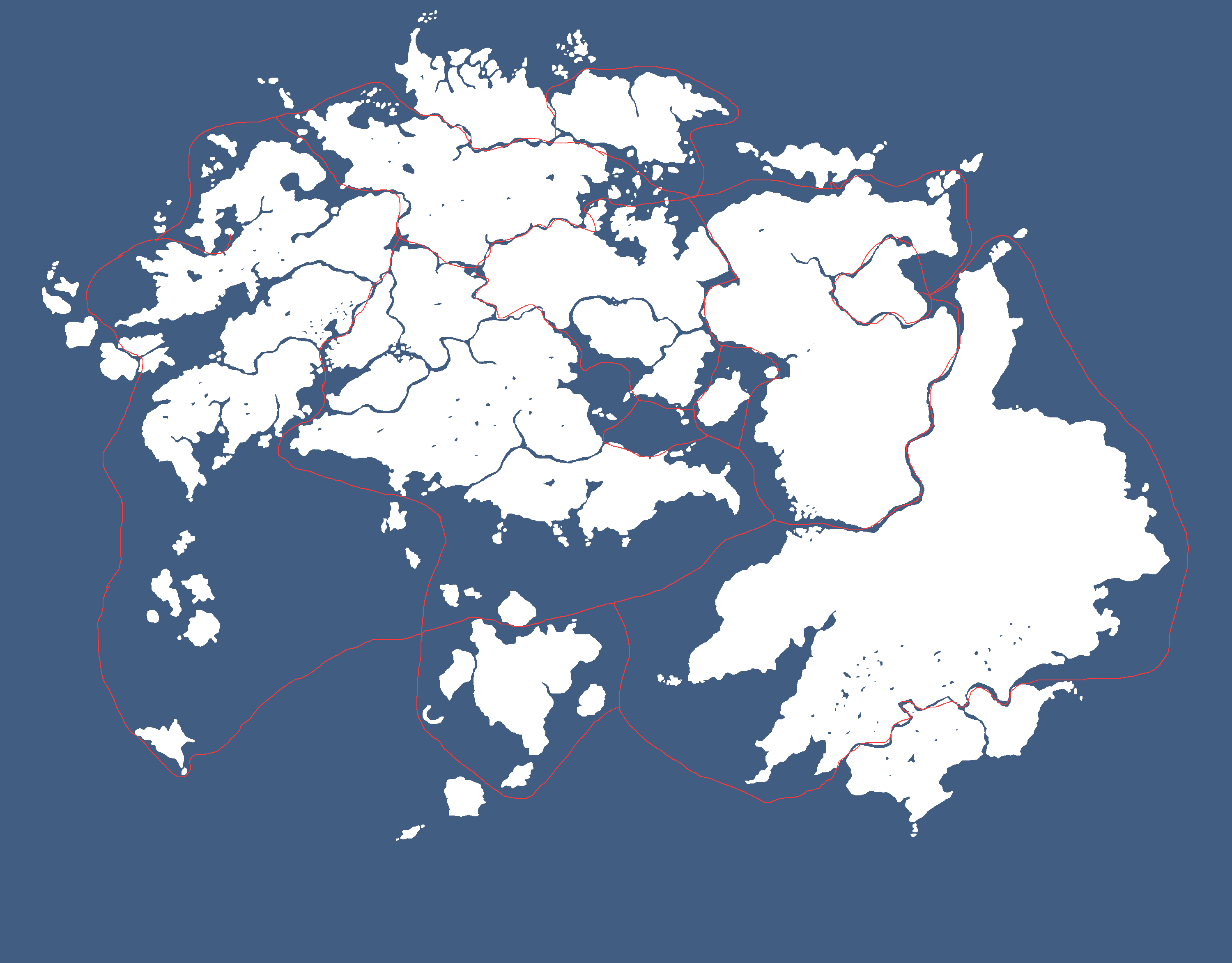
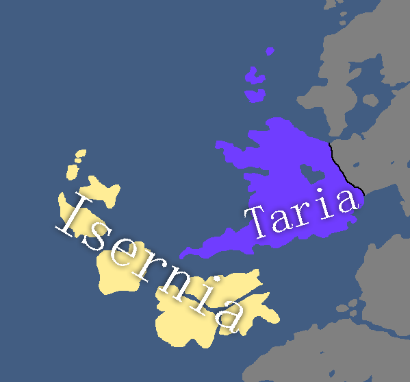
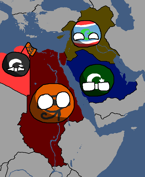
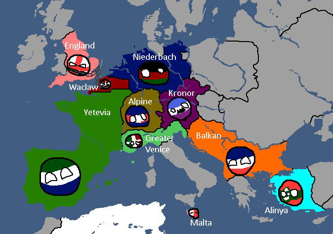
Map of the Deltaic Region: Year 145
-
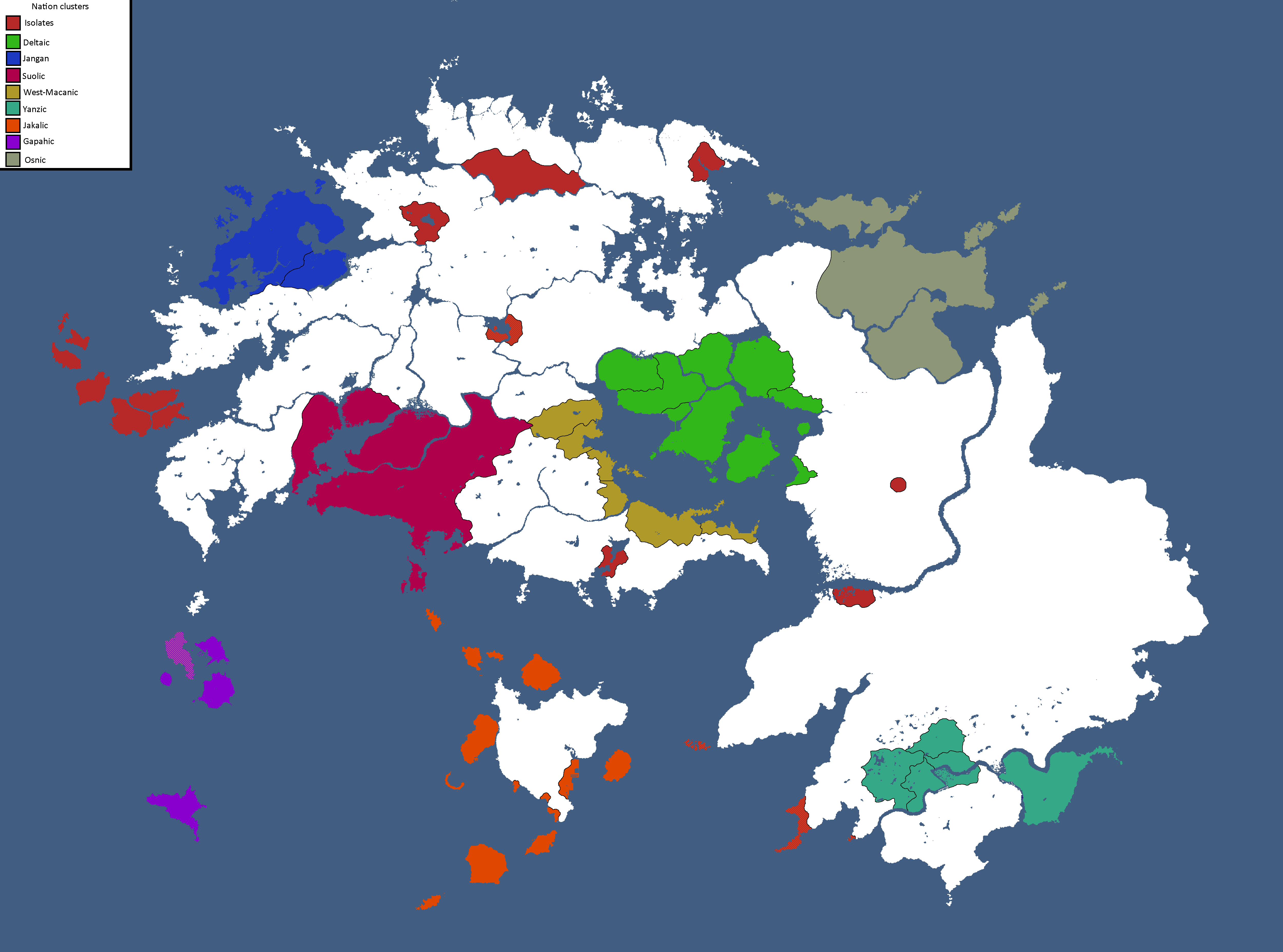
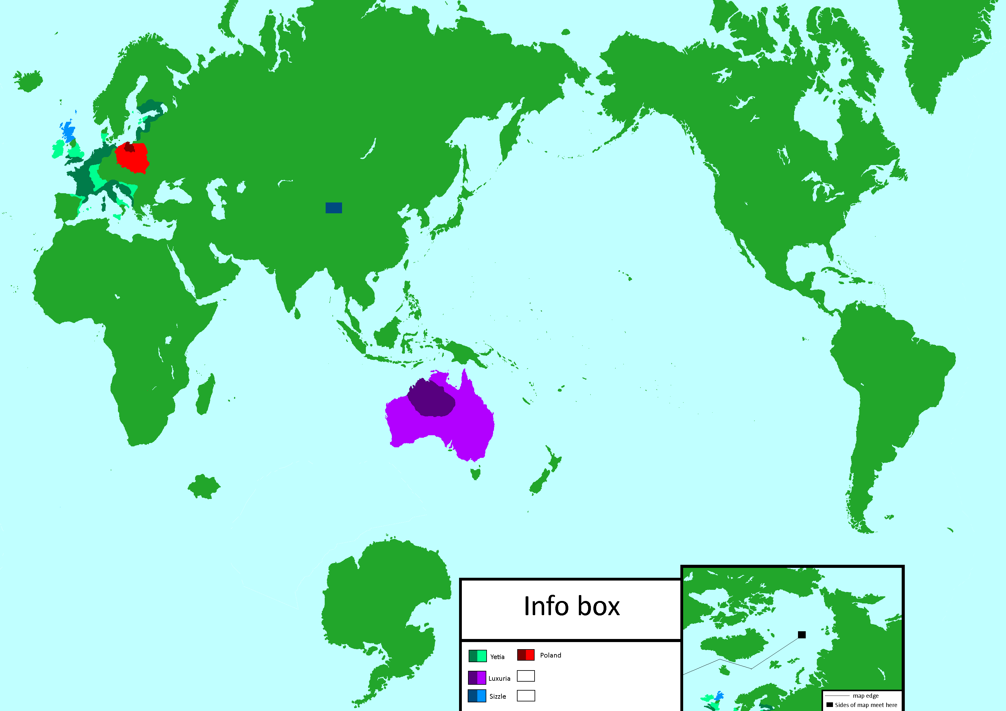
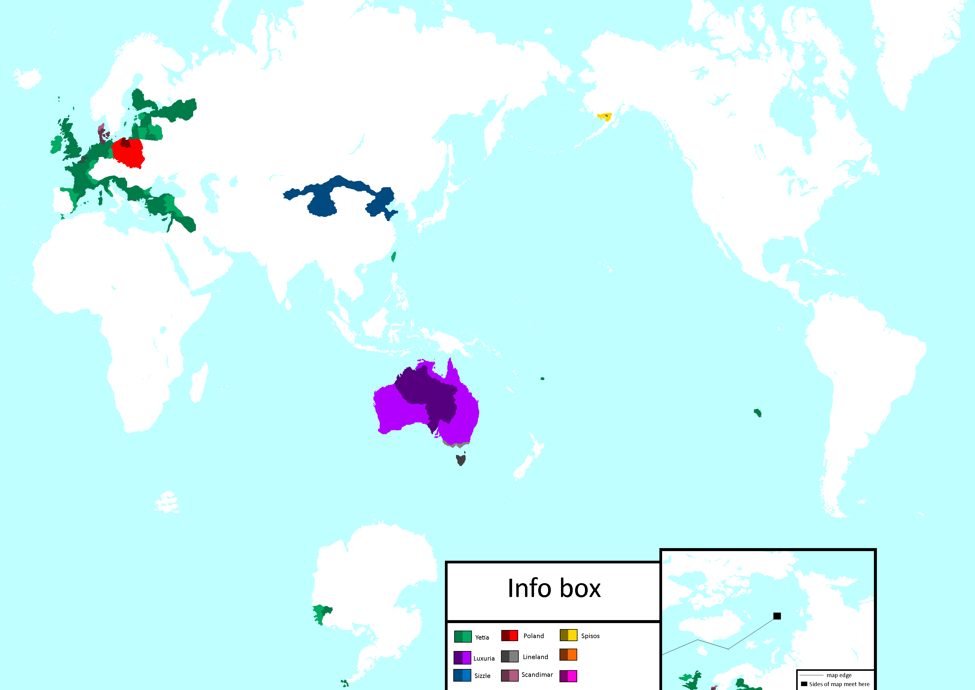
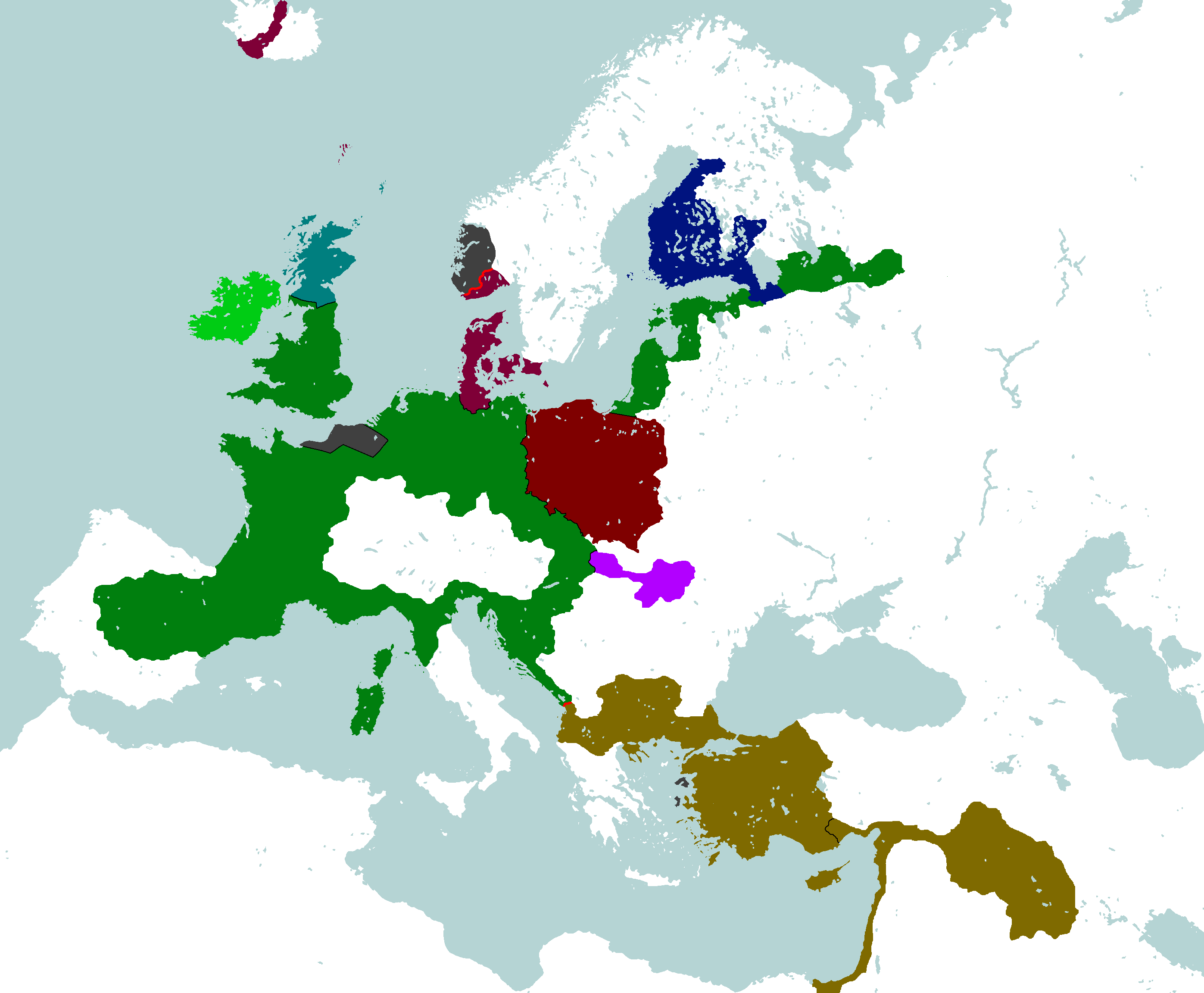
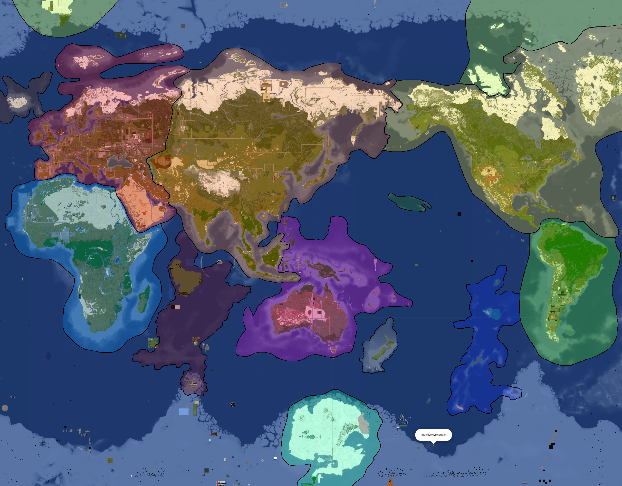
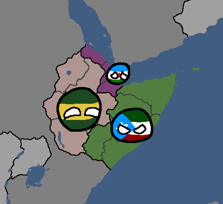
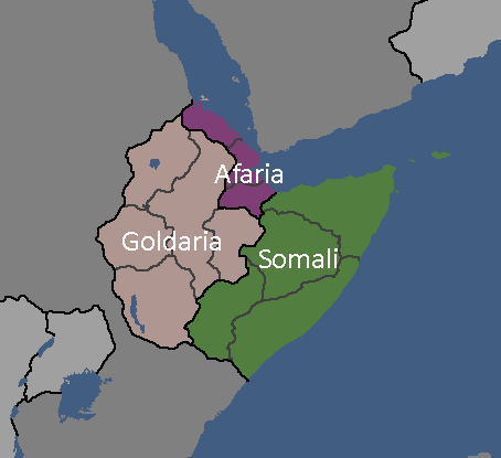
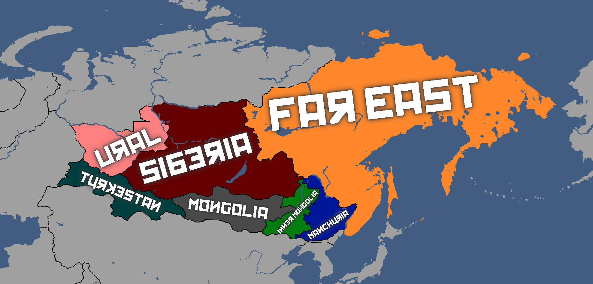
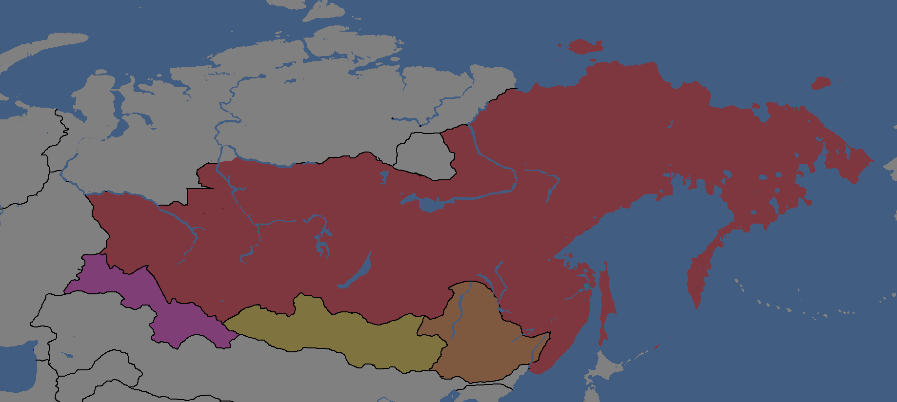
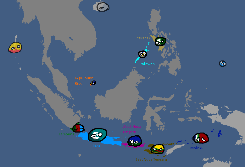
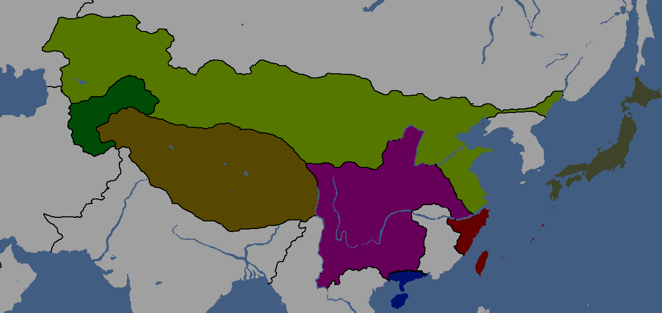
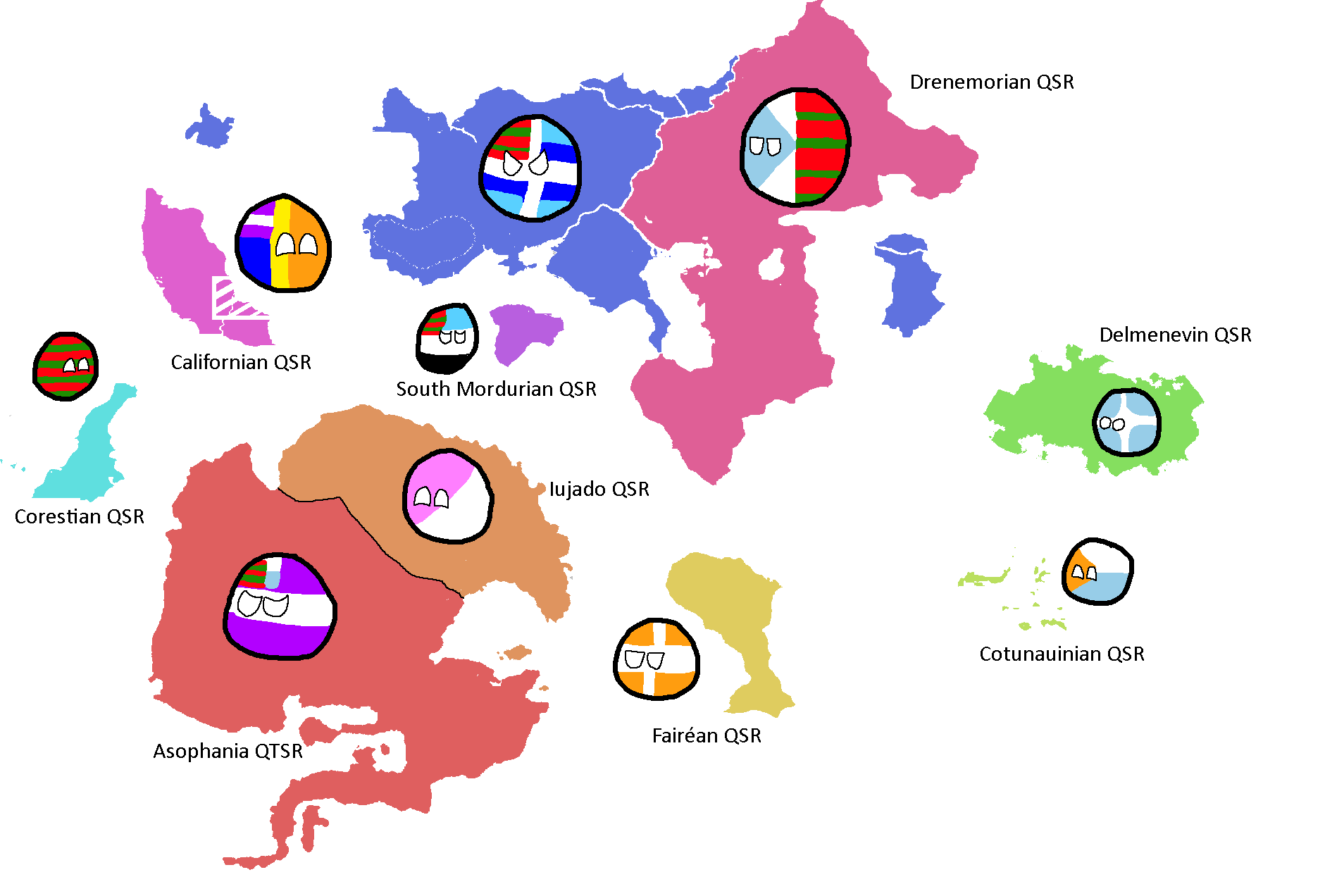
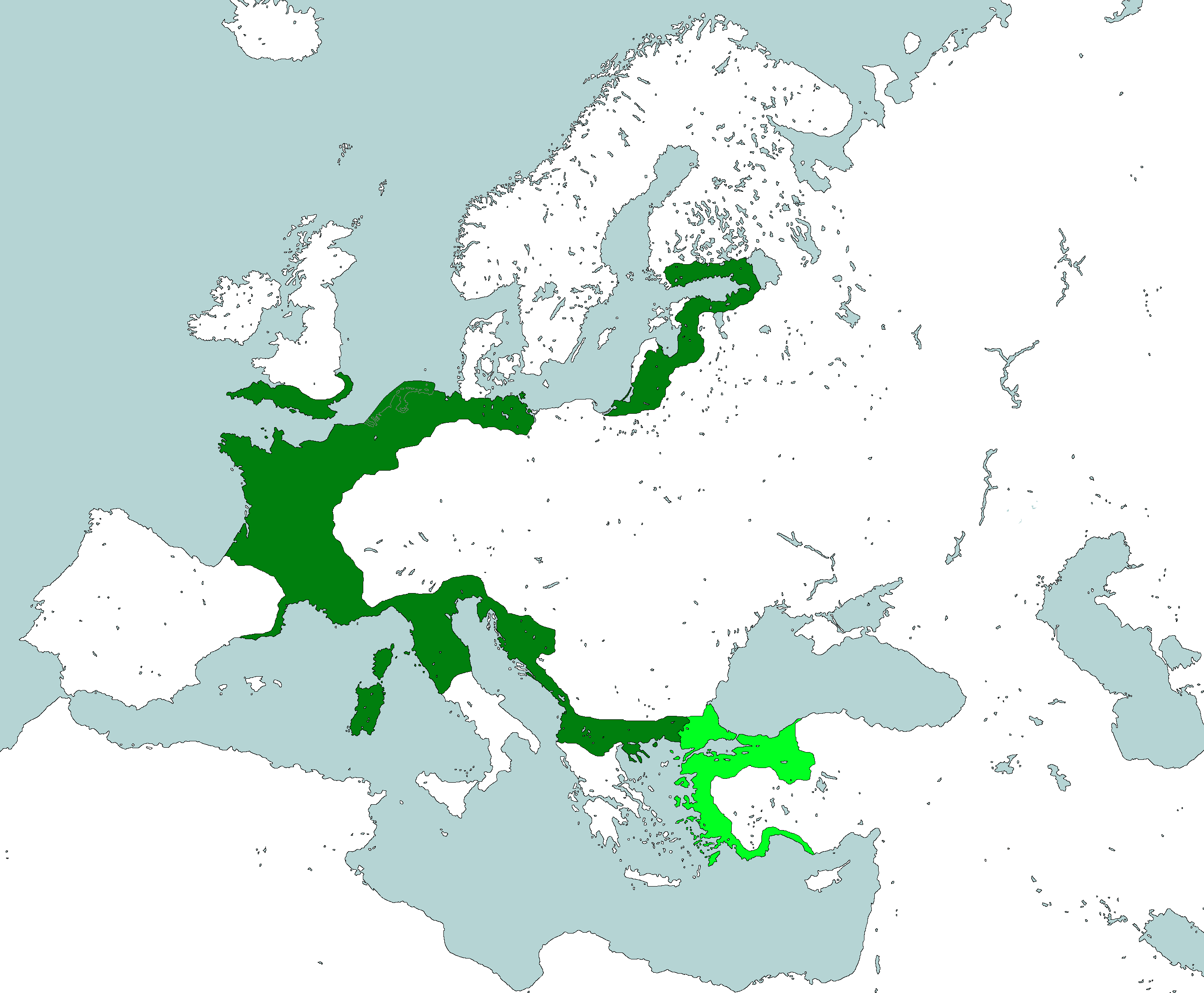
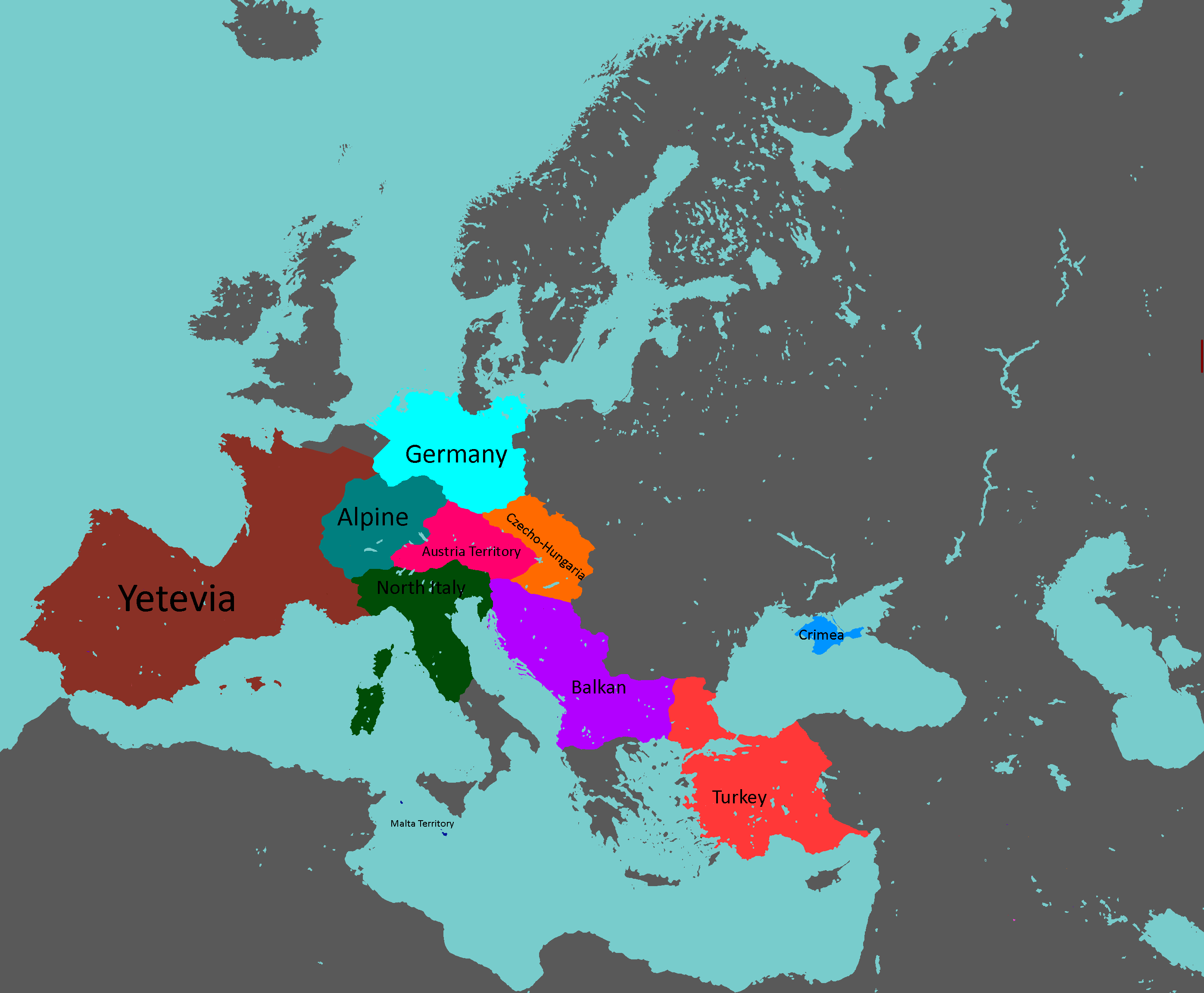
Nation Clusters of Theia: Year 165
-

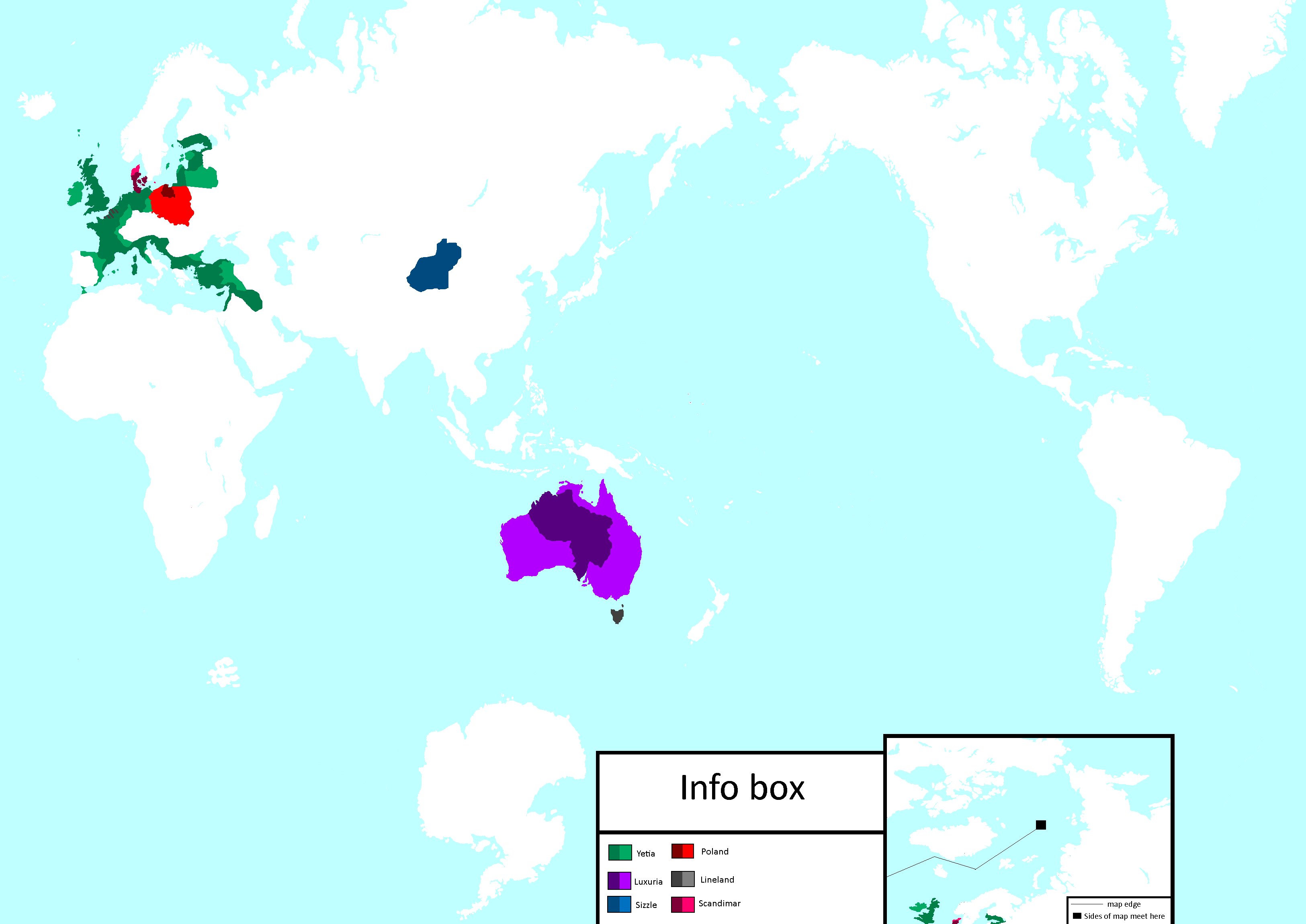
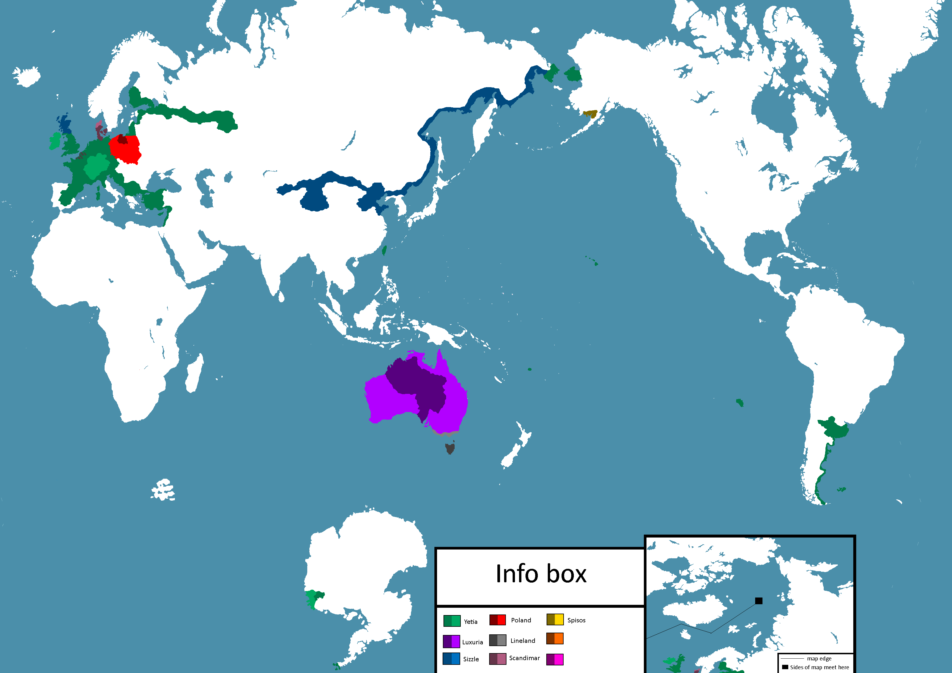
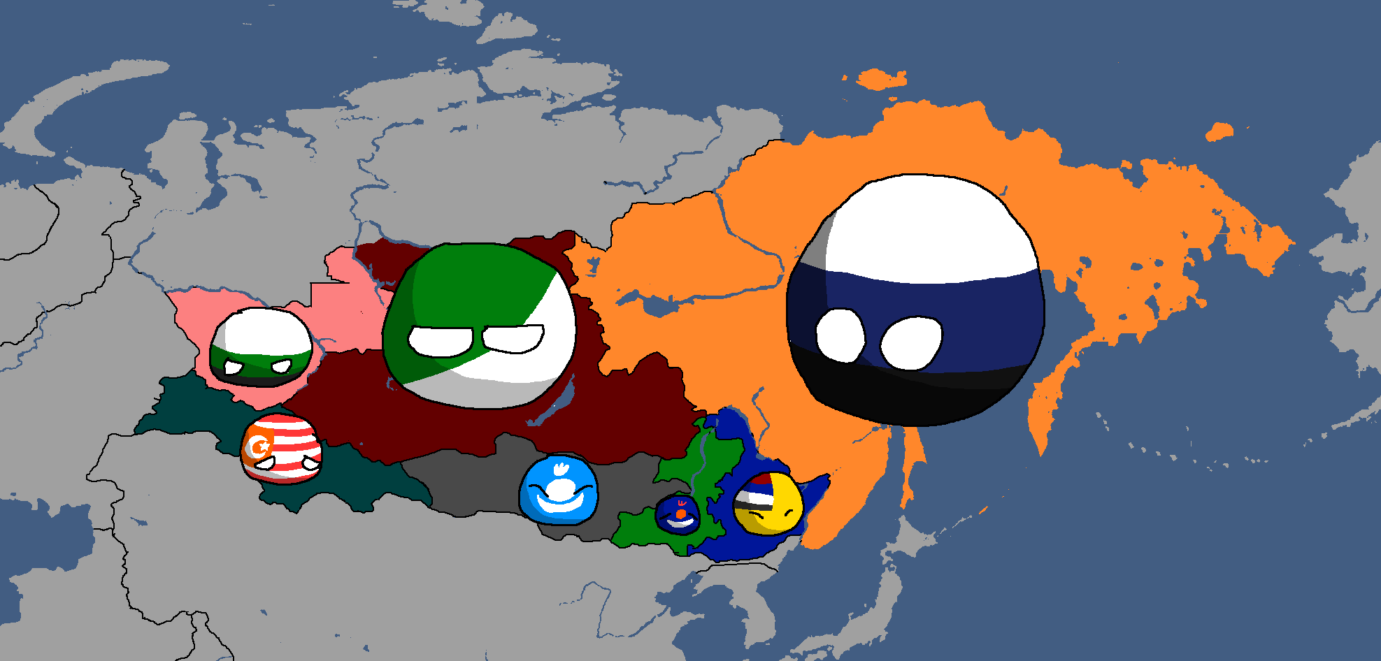
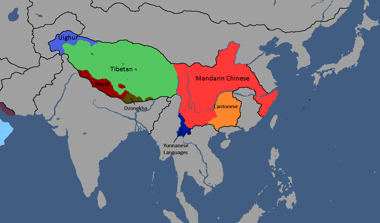
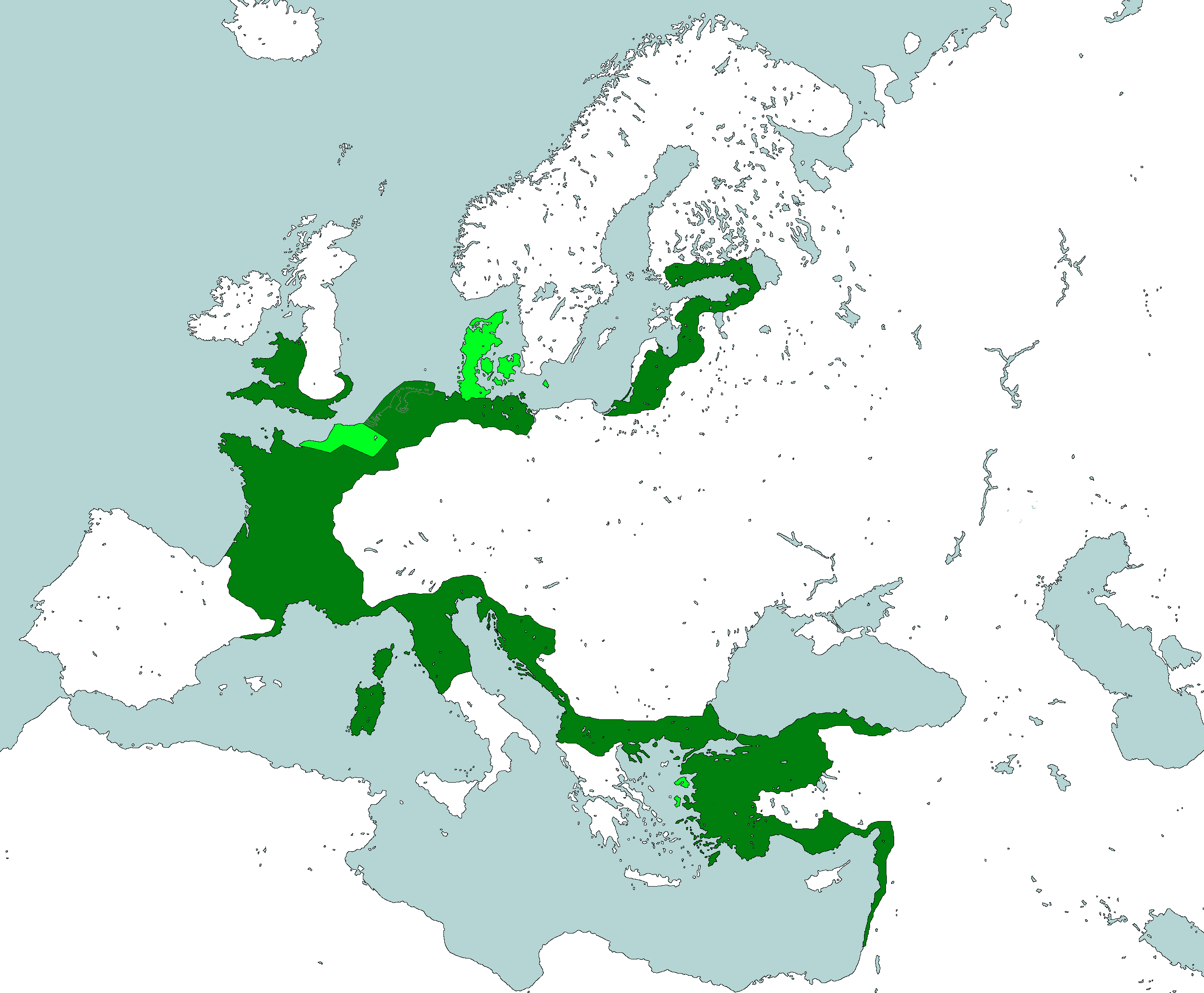
Homelands of the Theian Natives: Year 171
-
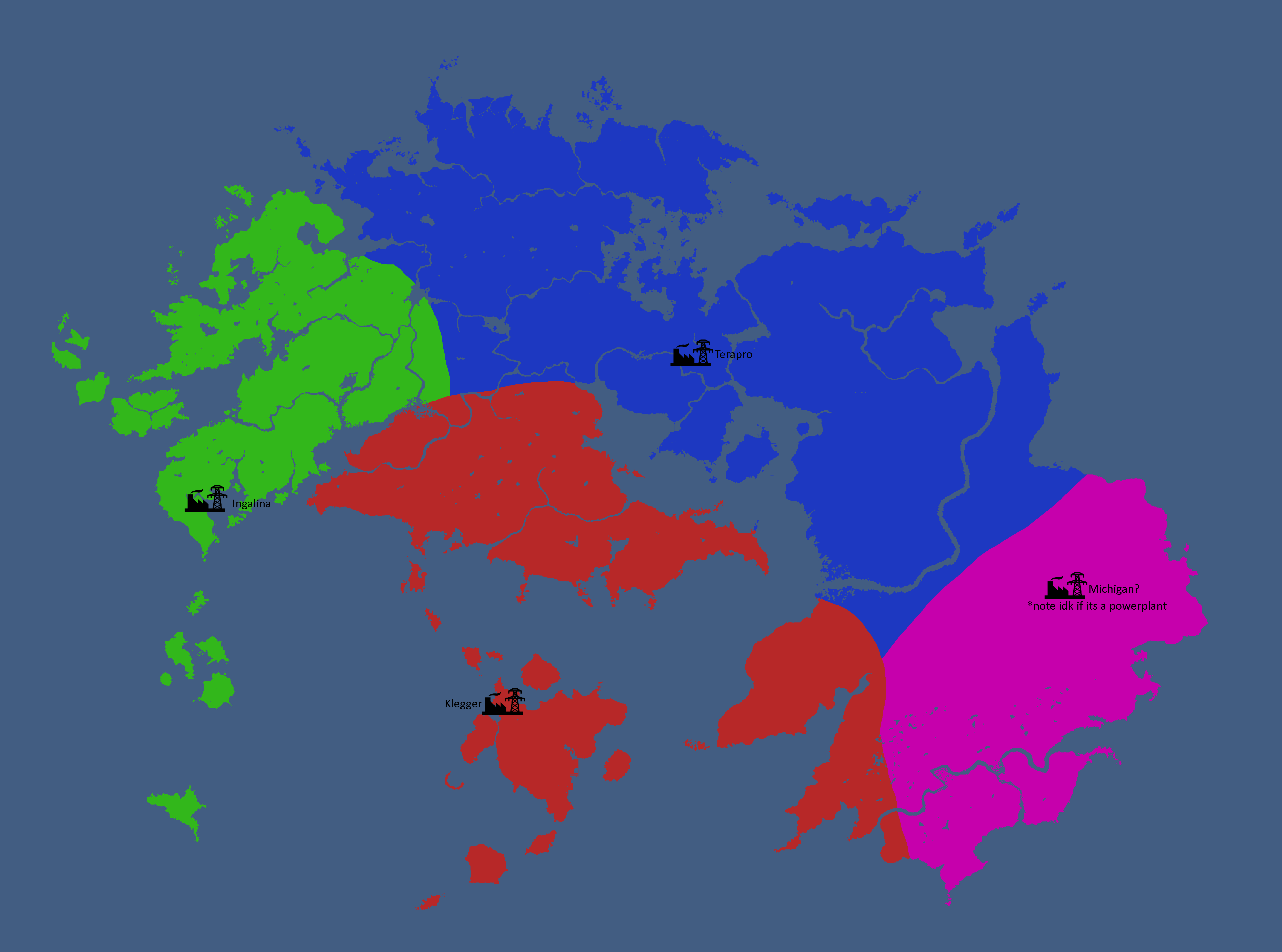
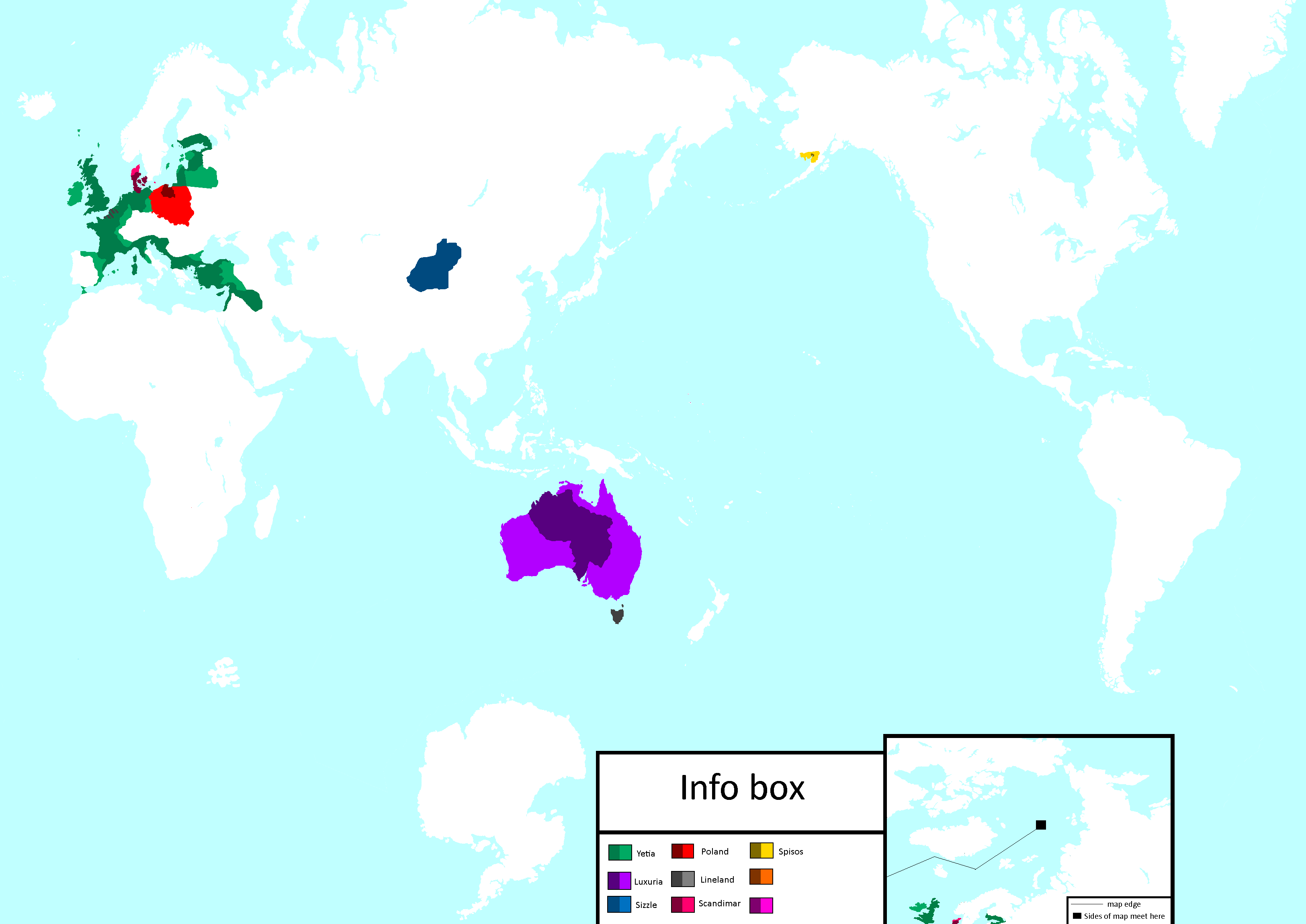
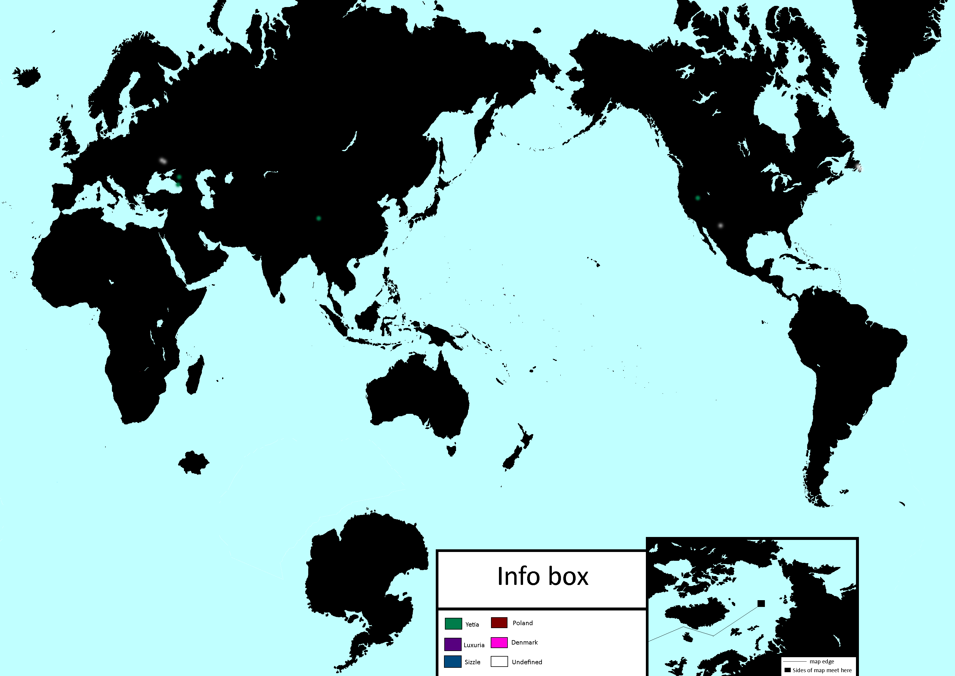
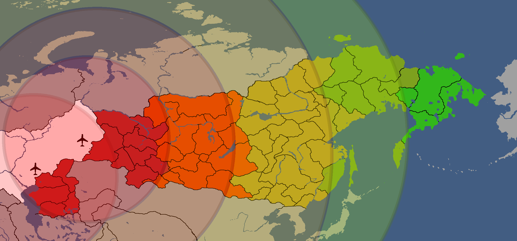
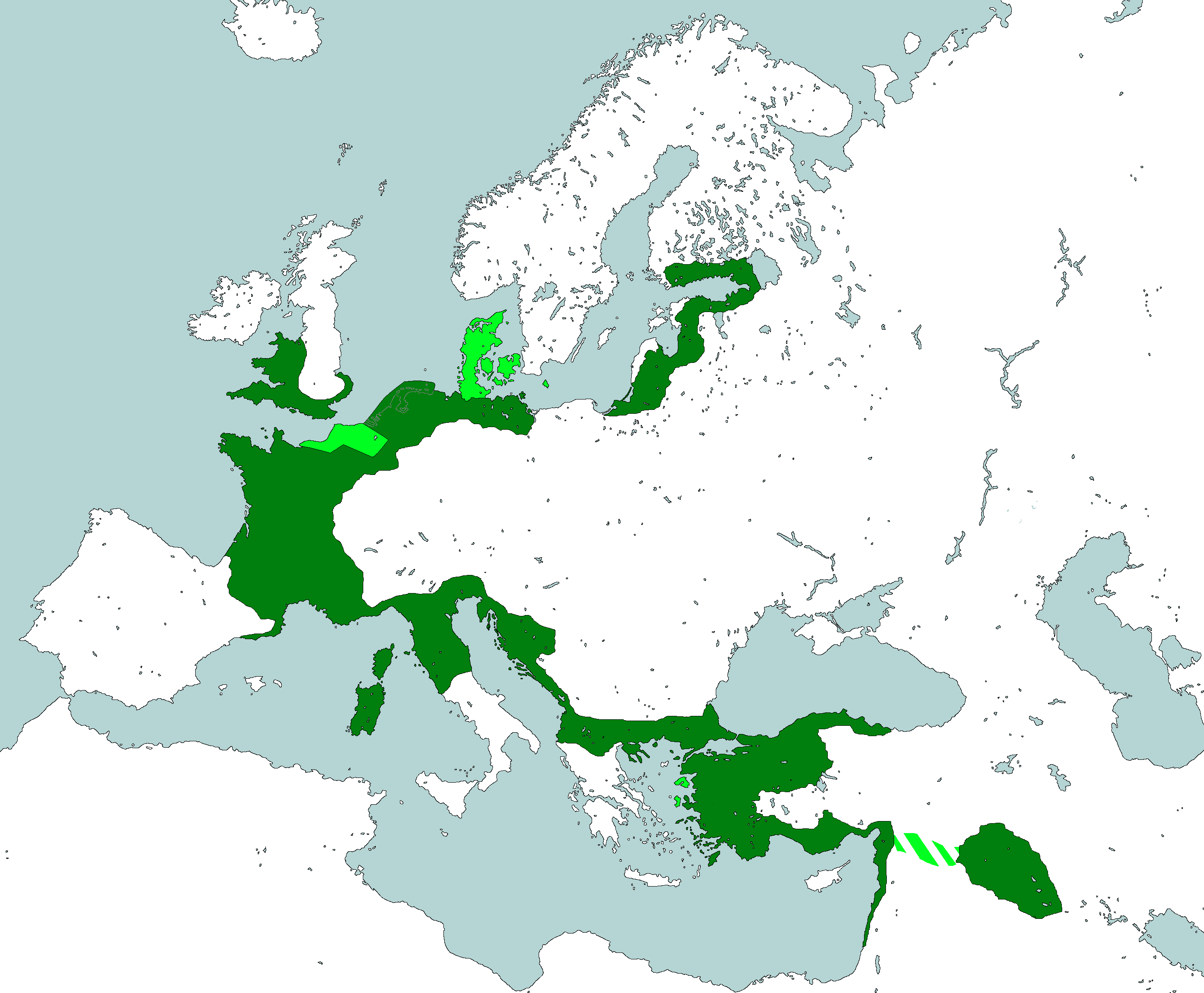
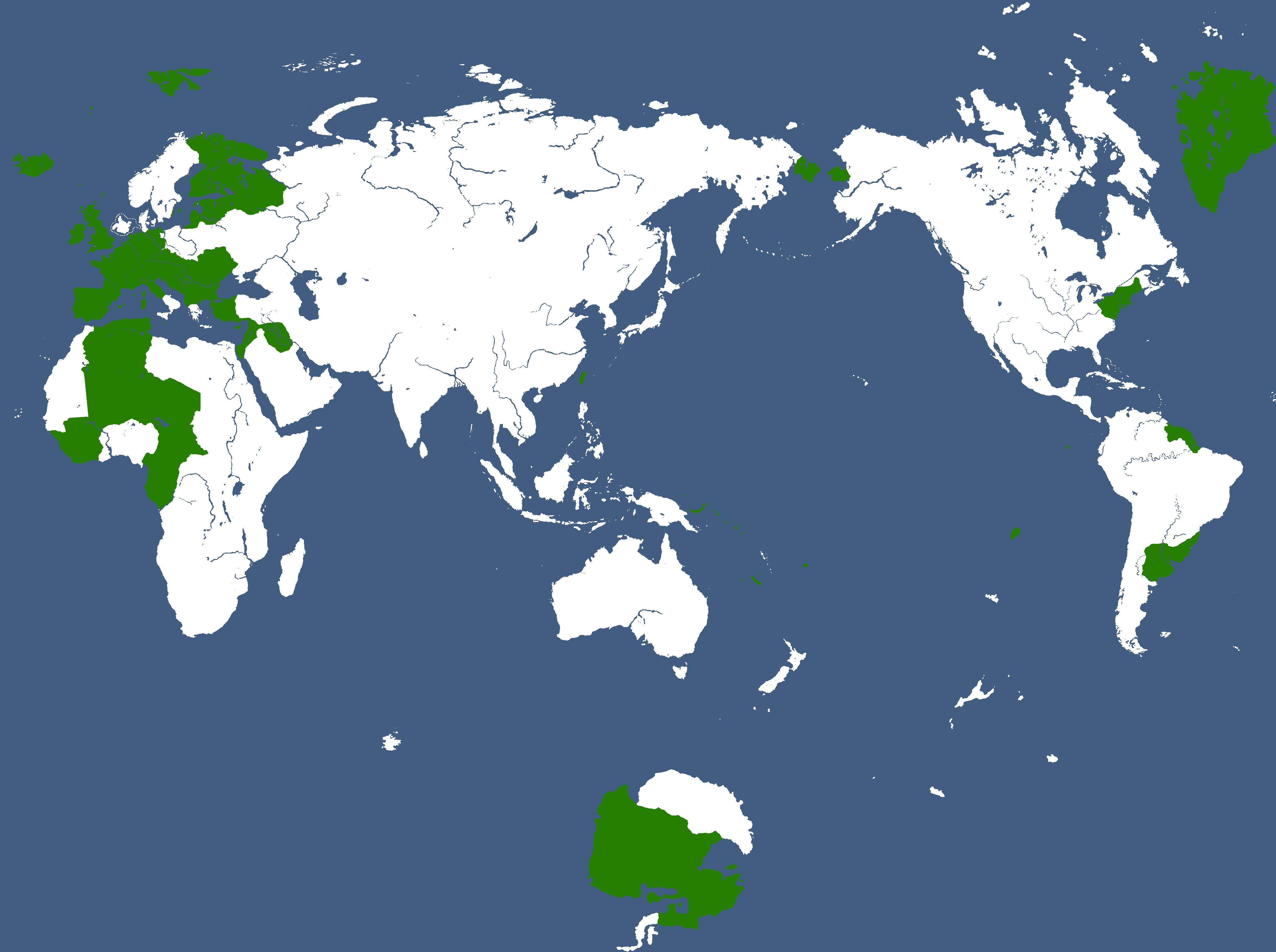
Major Powerplant Service Areas: Year 185


National Maps
Anakistani Maps
-
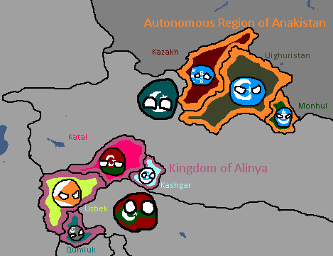
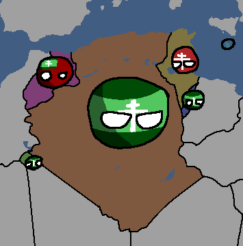
Anakistani Provinces & Regions: Year 112

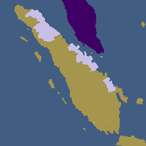
Drenemorian Maps
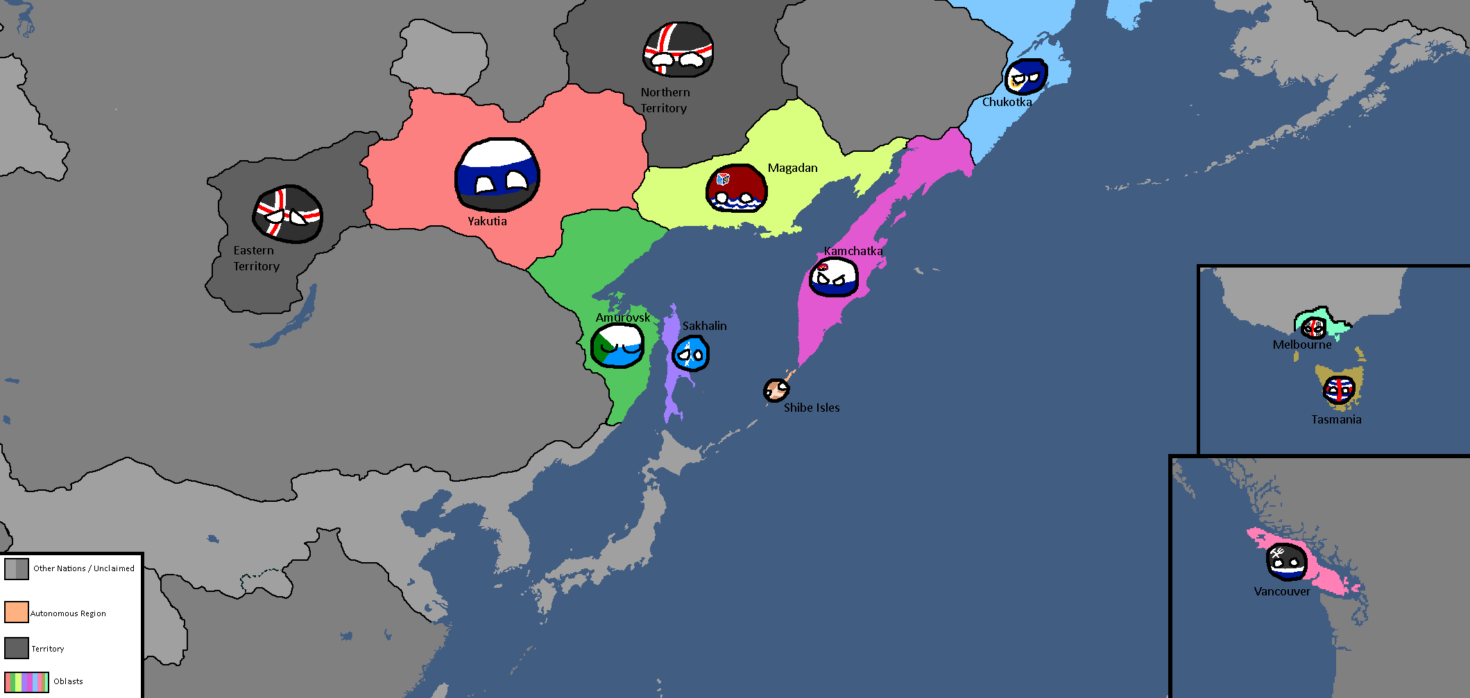
-
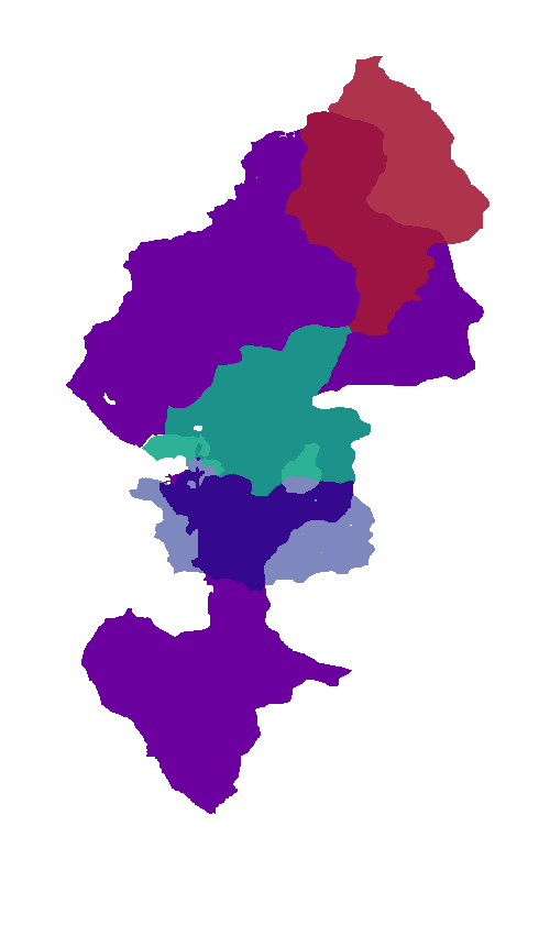
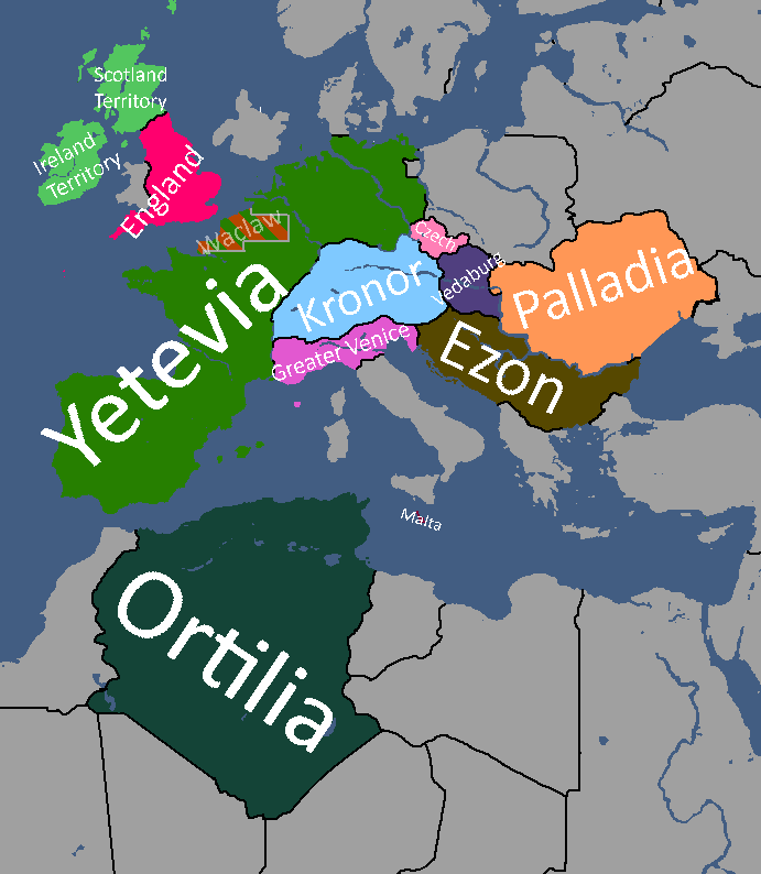
Drenemoria Territorial History: Year 185

English Maps
-
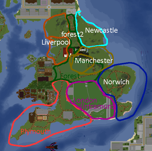
English City Plan: Year 105
-

York: Year 160


Goldarian Maps
-
Goldarian Federal States: Year 102 (Countryballs)
-
Goldarian Federal States: Year 102


Hayastani Maps
-
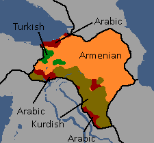
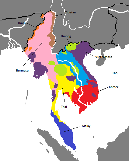
Languages of Hayas: Year 112

Humamboan Maps
-

Homeland & Colonies of Humambo: Year 115

Isernotarian Maps
-
Isernotarian Constituent Nations: Year 116 (Countryballs)
-
Isernotarian Constituent Nations: Year 116


Islandian Maps
-
Islandian kingdoms and principalities: Year 95 (Countryballs)
-
Islandian kingdoms and principalities: Year 95


Linelandic Maps
-
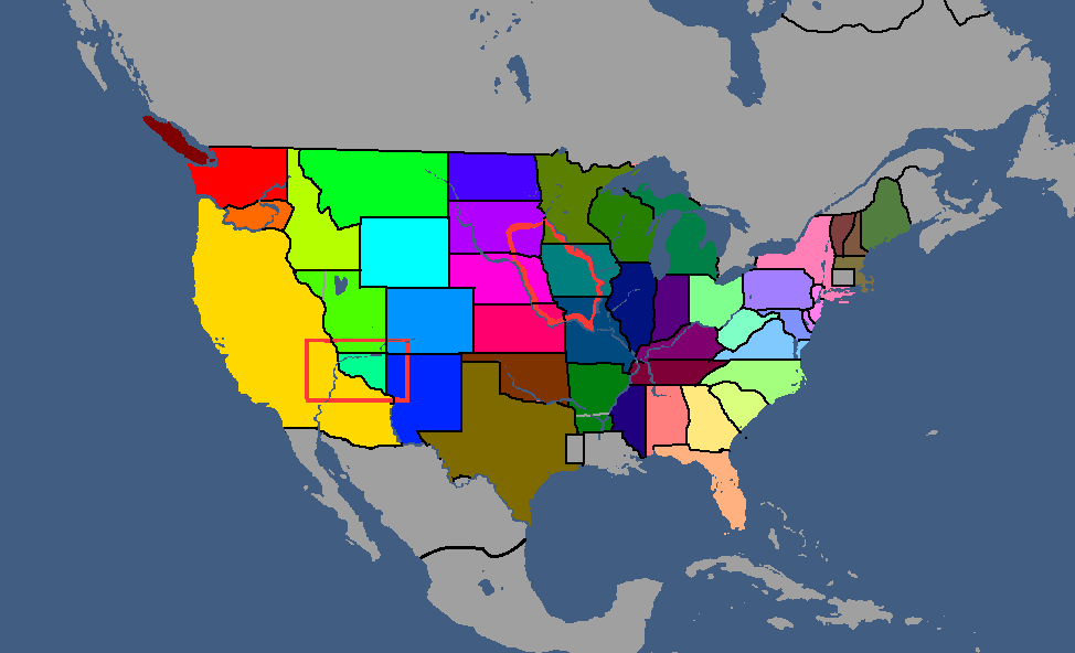
Linelandic Federal Subjects: Year 101
-
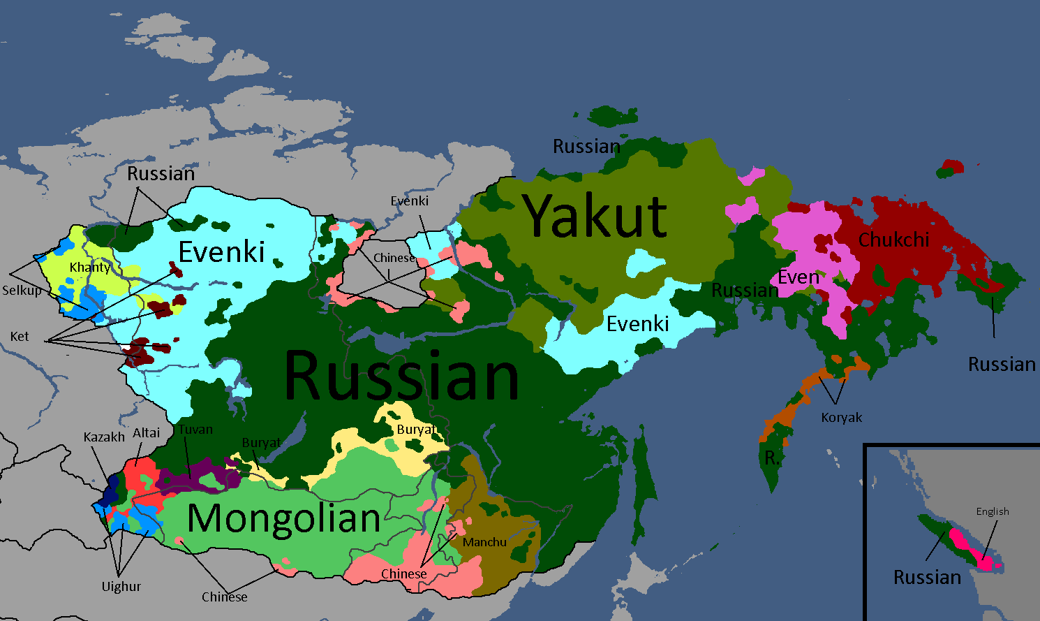
Linelandic Languages: Year 112
-
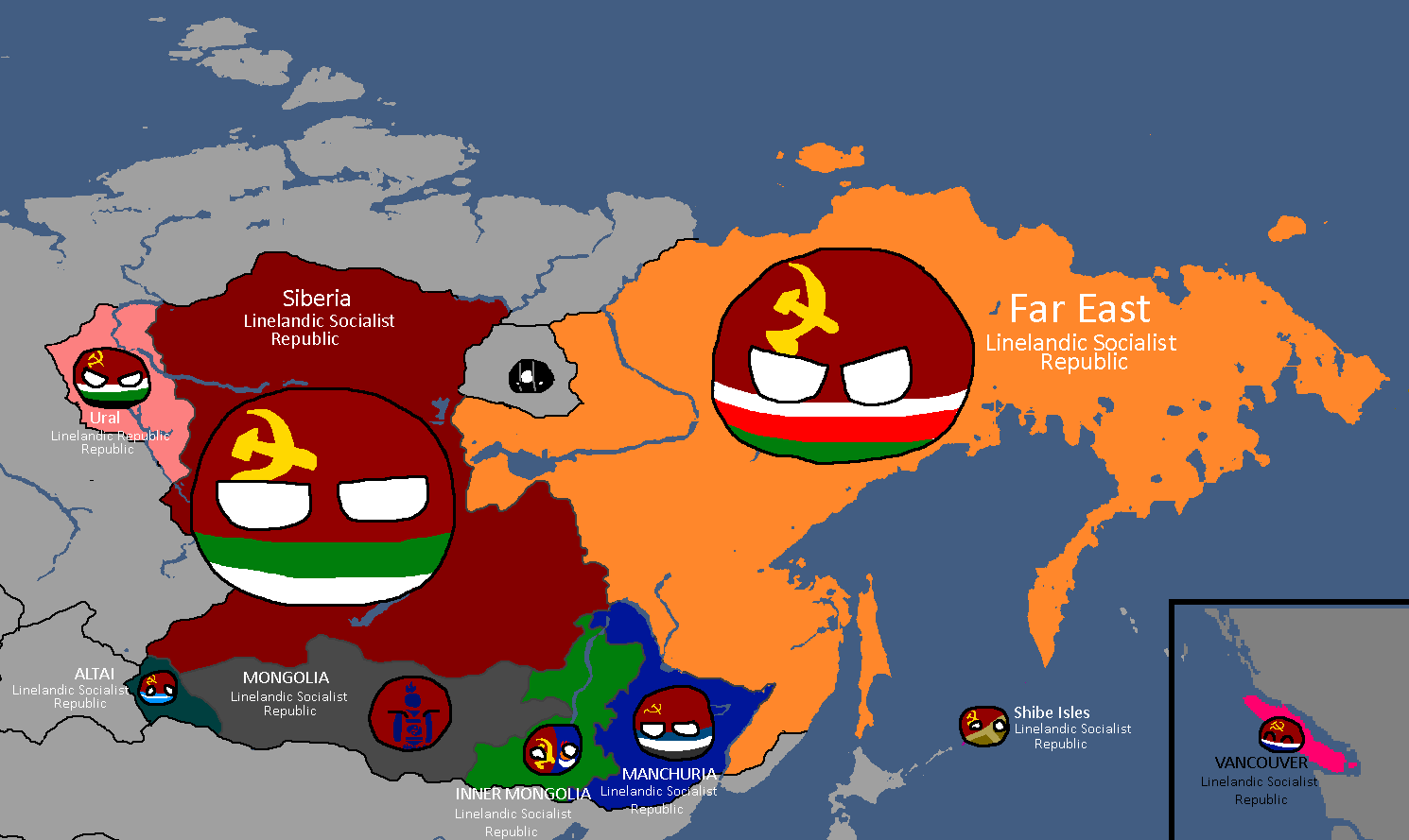
Member-Republics of the Union of Linelandic Socialist Republics: Year 112
-
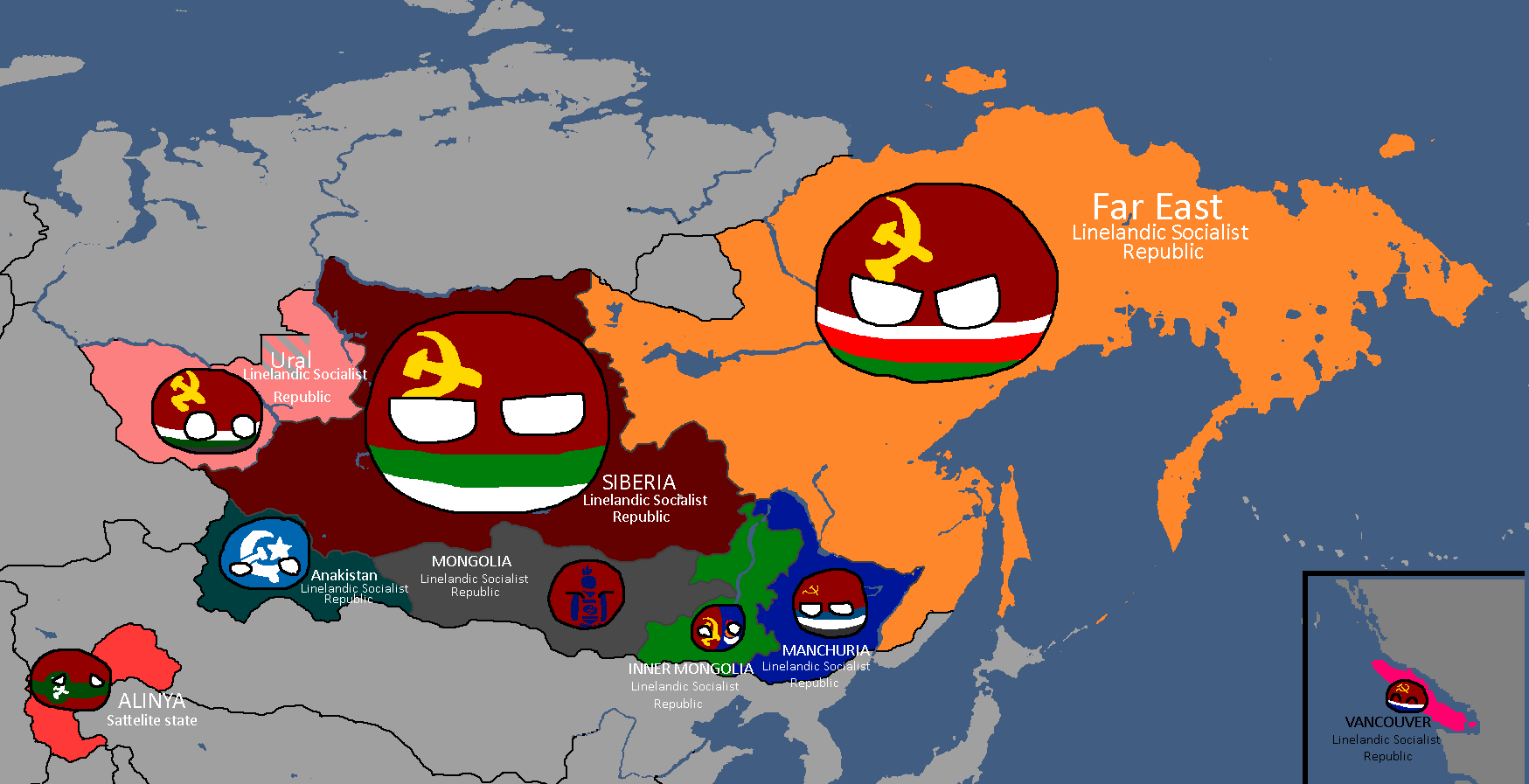
Member-Republics of the Union of Linelandic Socialist Republics: Year 113
-
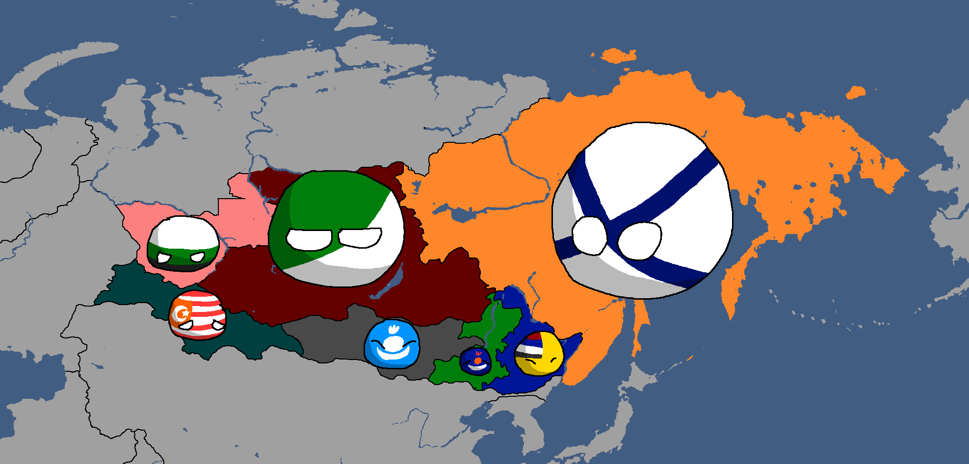
Oblasts of Lineland: Year 130 (Countryballs)
-
Oblasts of Lineland: Year 130 (Names)
-
Oblasts of Lineland: Year 130 (Blank)
-
Oblasts of Lineland: Year 132
-
Constituent Countries of Lineland: Year 144 (Countryballs)
-
Constituent Countries of Lineland: Year 144
-
Map of damages caused by Tritonian terror-bombing: Year 185


Nakamaian Maps
-
Languages of Nakmai: Year 112

Old Osanian Maps
-
Old Osanian States: Year 105

Poavakian Maps
-
Poavakian Subdivisions: Year 96
-
Areas settled by Nay'Bling refugees: Year 171


Rossiyan Maps
-
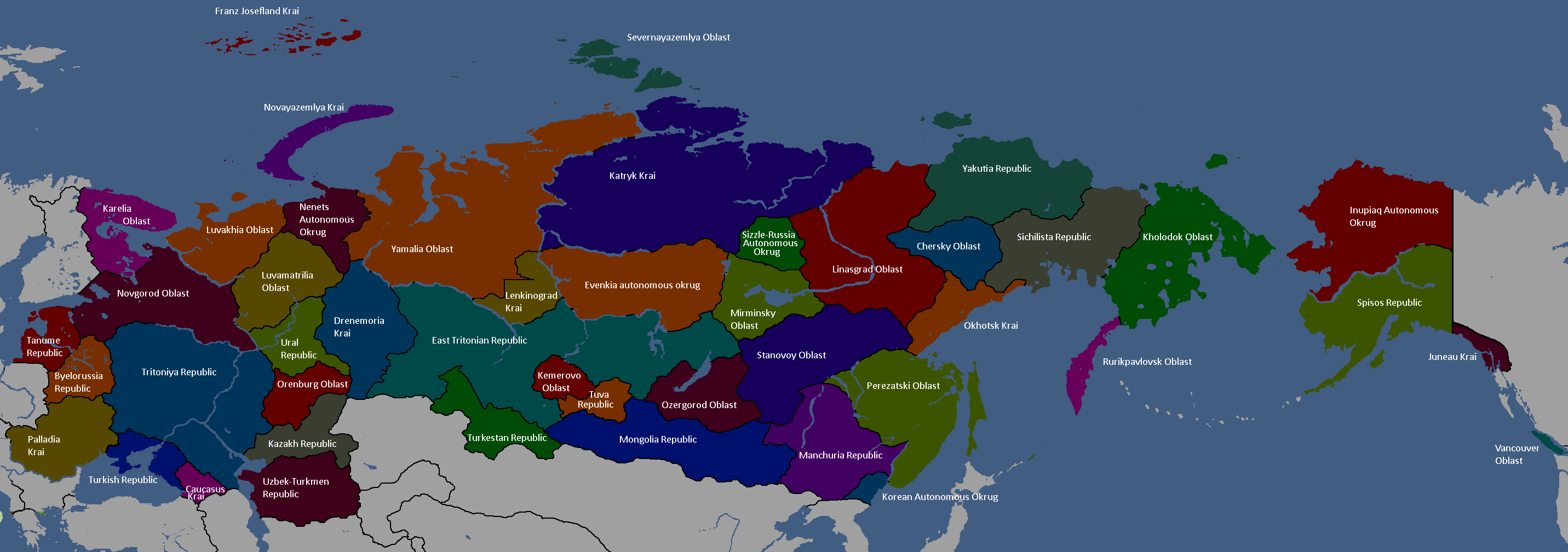
Federal Subjects of Rossiya: Year 176 (Names)
-
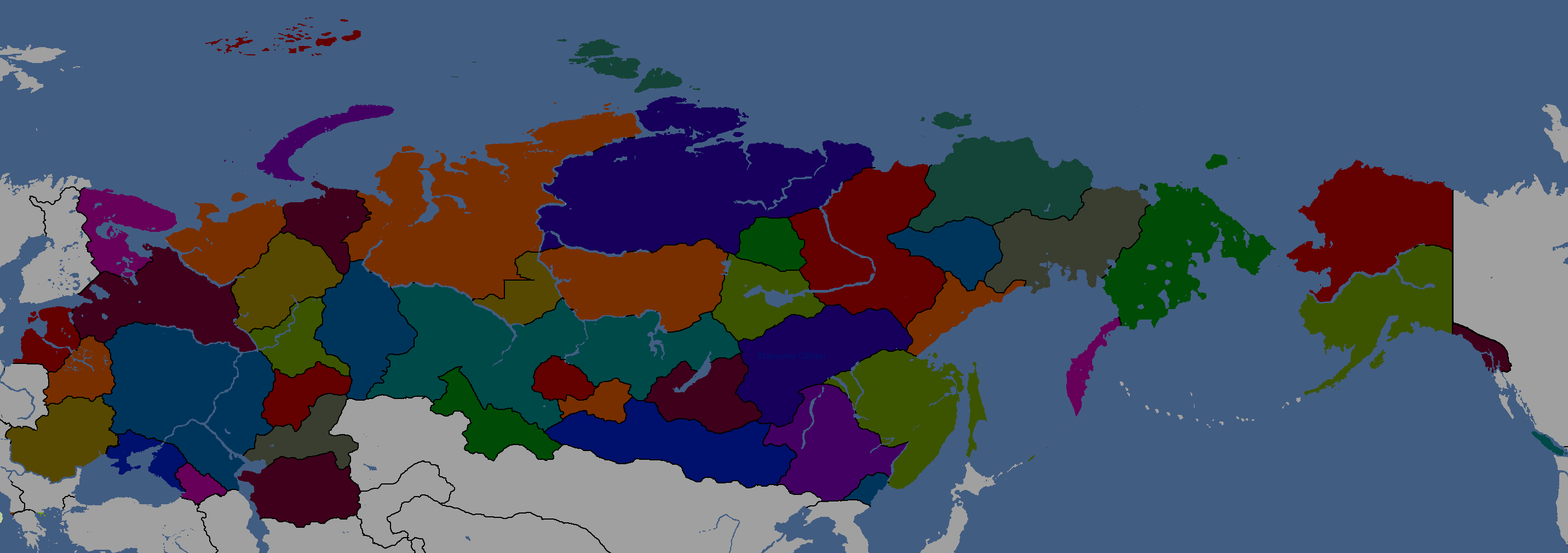
Federal Subjects of Rossiya: Year 176 (Blank)
-
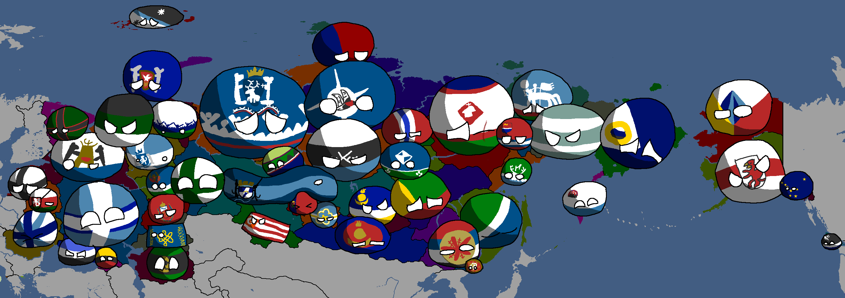
Federal Subjects of Rossiya: Year 176 (Countryballs)
-
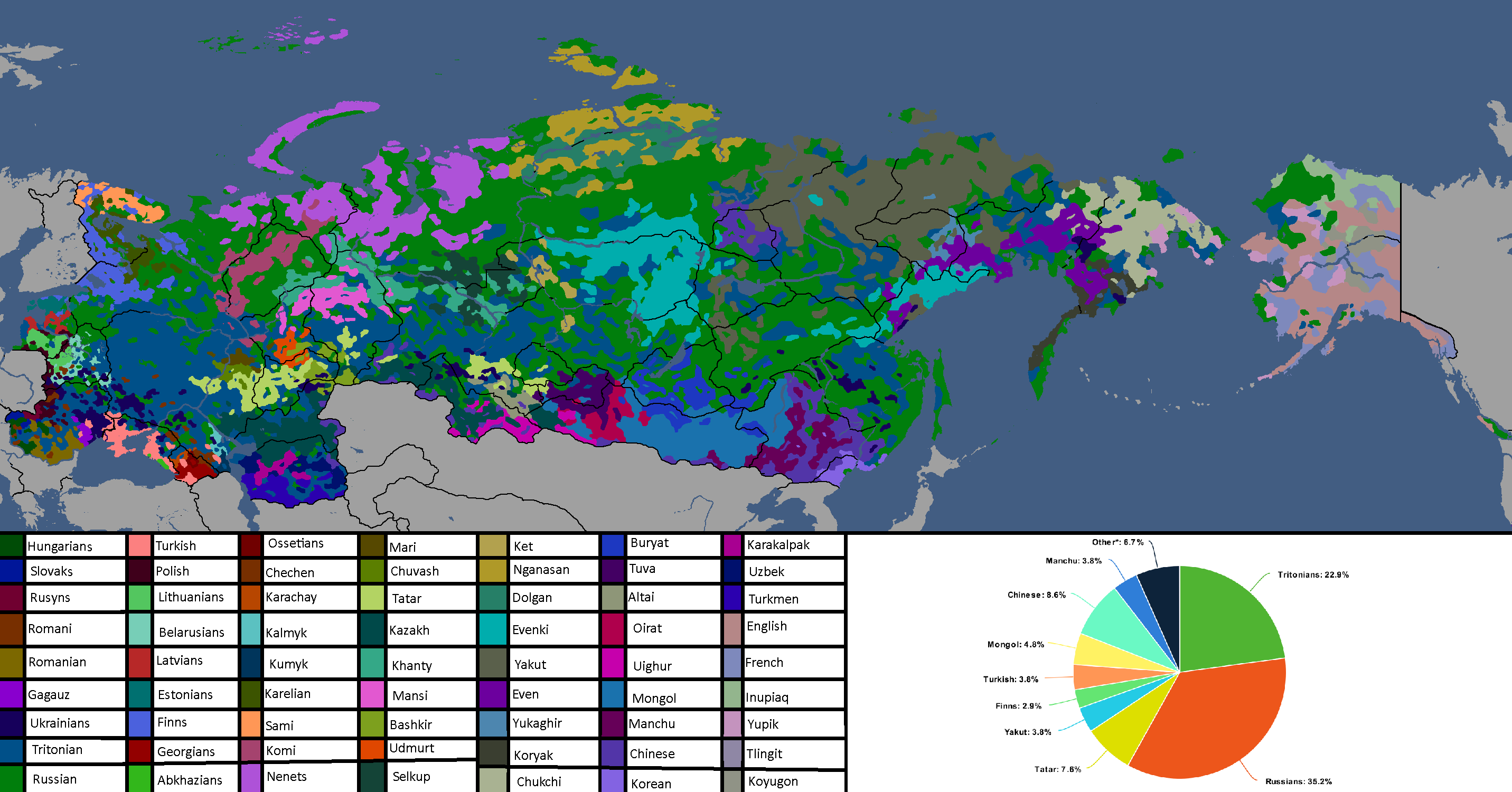
Languages of Rossiya: Year 180


Sarpistani Maps
-
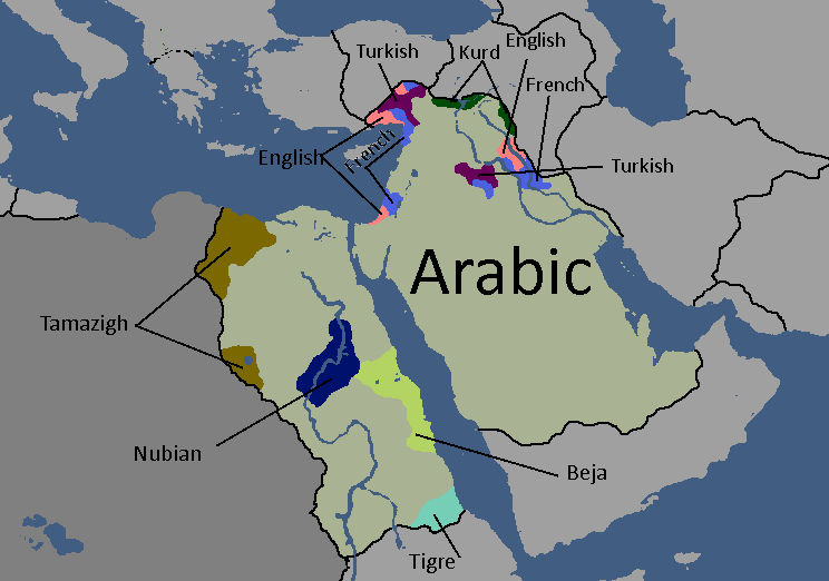
Languages of Sarpistan: Year 114
-
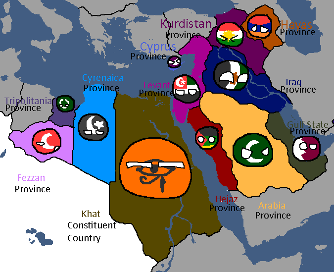
Provinces of Sarpistan and Jeriya (Protectorate): Year 115
-
Map of the planned partition of Sarpistan: Year 121


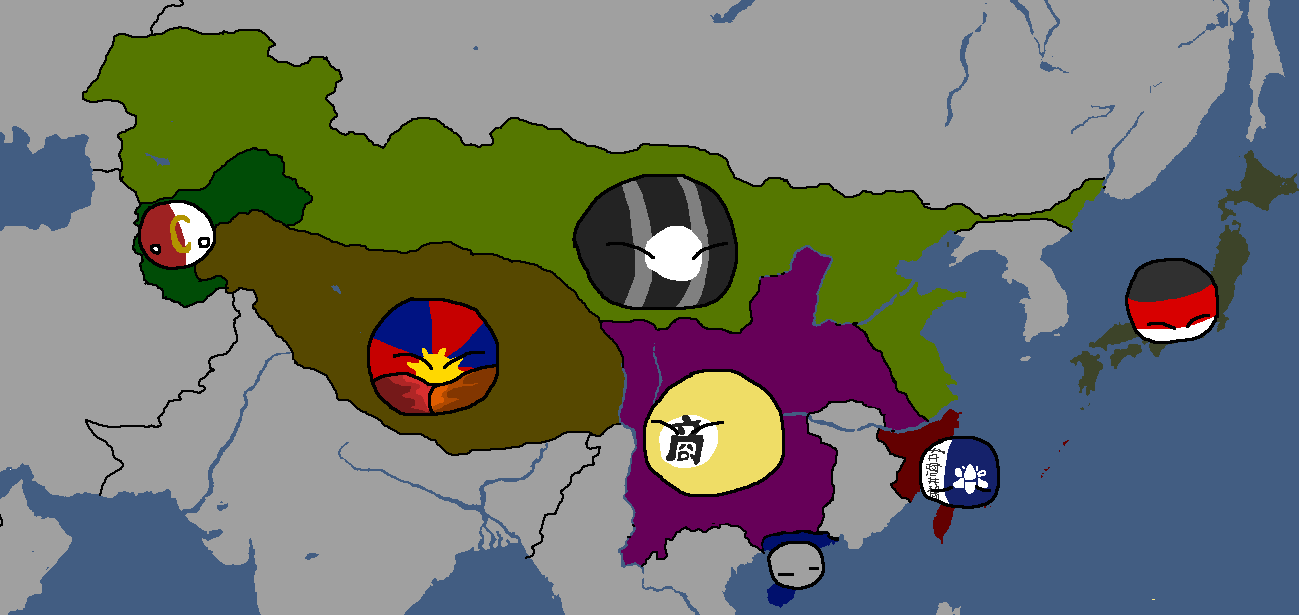
Sizzlean Maps
-
Map of the (First) Sizzlean Empire: Year ~40s
-
Regions of Great Sizzle: Year 128 (Countryballs)
-
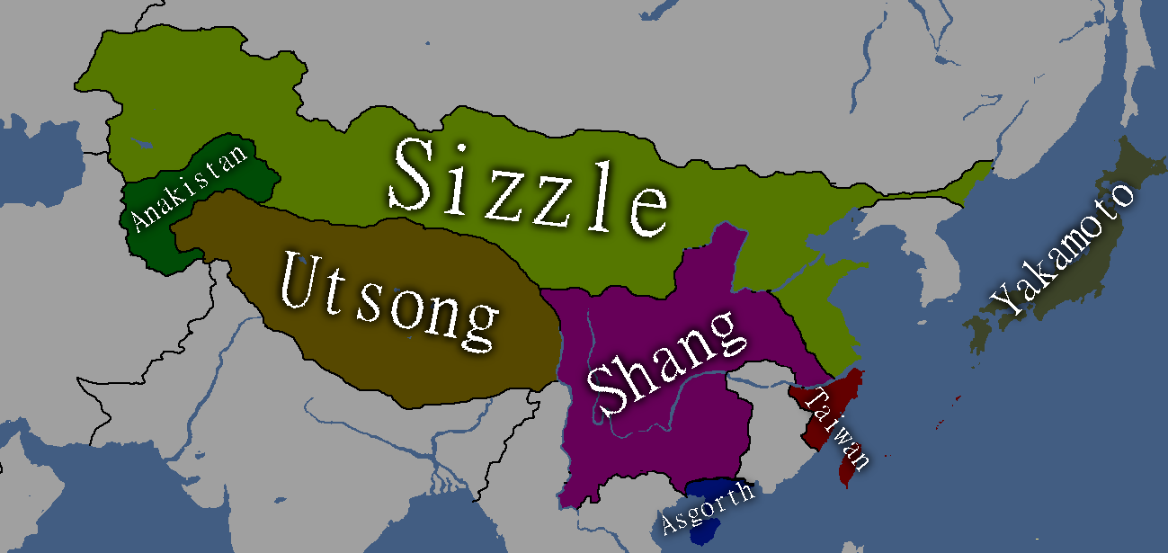
Regions of Great Sizzle: Year 128 (Names)
-
Regions of Great Sizzle: Year 128 (Blank)


Tanumian Maps
-
Languages of Tanume: Year 152

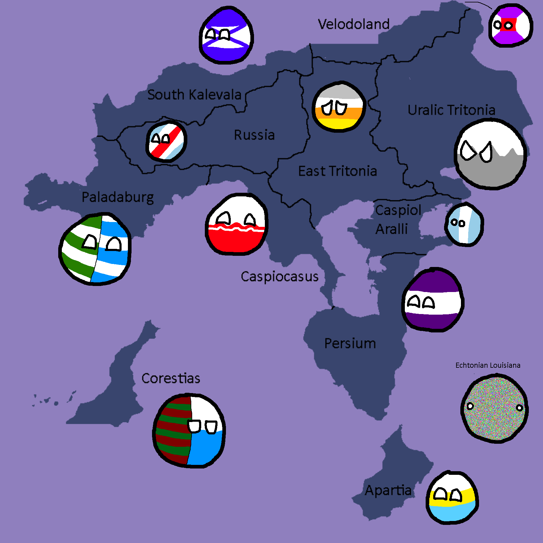
Tritonian Maps
-
Tritonian Regions: Year 90
-
Tritonian Regions: Year 91
-
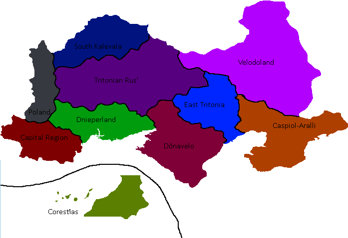
Tritonian Regions: Late Year 91
-
Tritonian Regions: Year 96
-
Tritonian Regions: Year 101
-
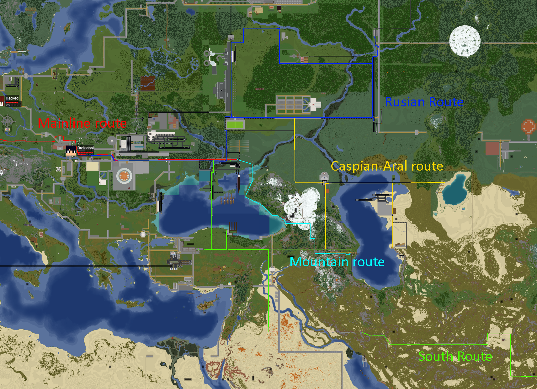
Tritonian Railways: Year 106
-
Member-Republics of the Union of Quatritonian Socialist Republics: Year 114
-
Languages of Quatritonia: Year 115
-
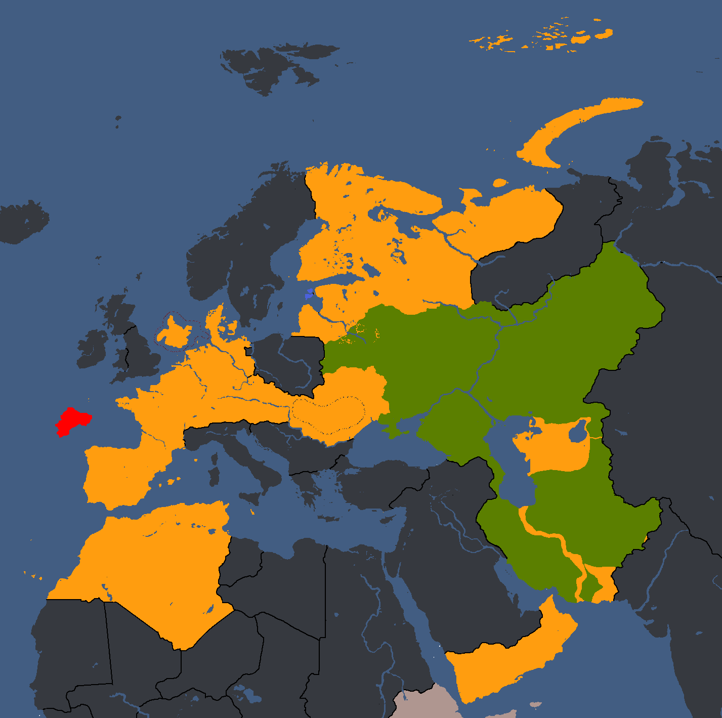
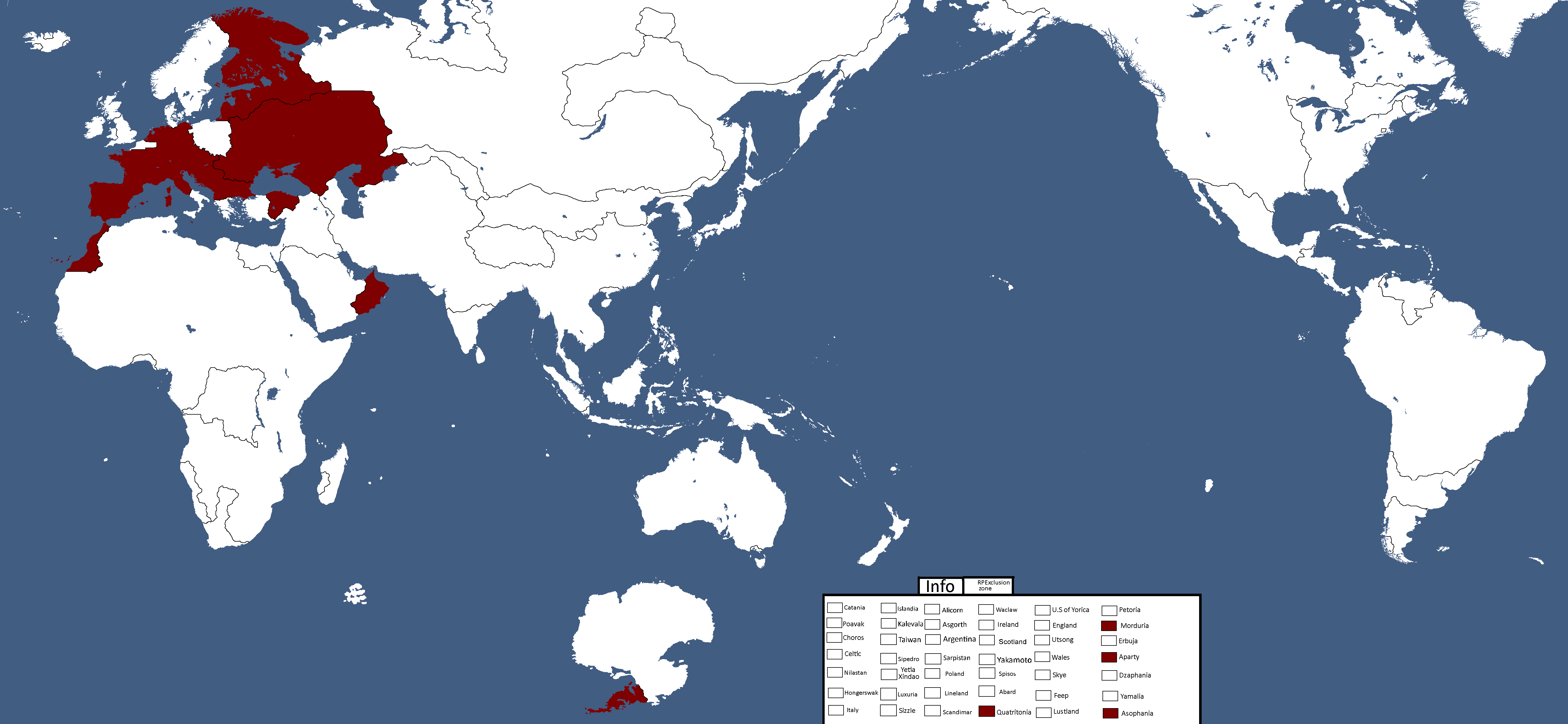
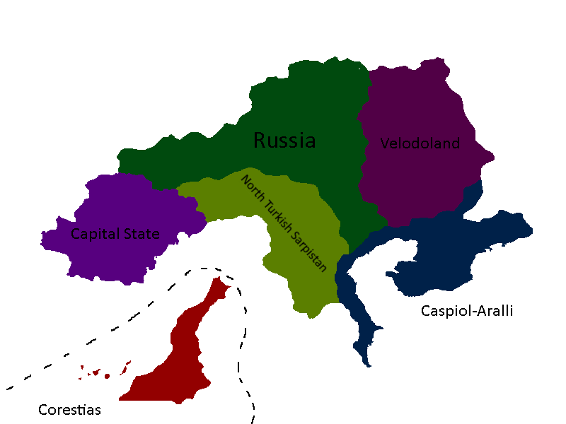
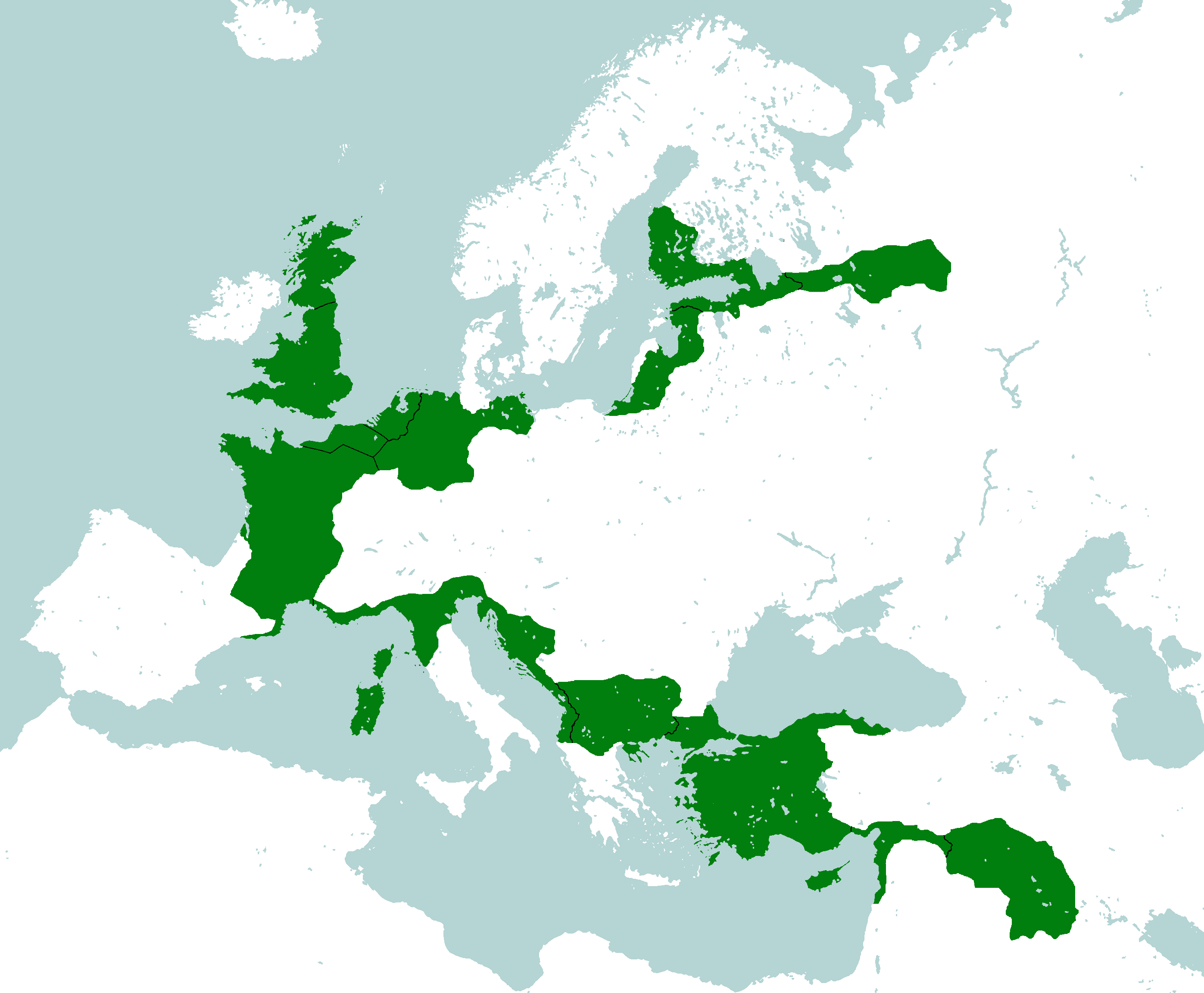
Red = Original Tritonia, Green = Current Tritonia, Yellow ) Tritonia at height: Year 135
-
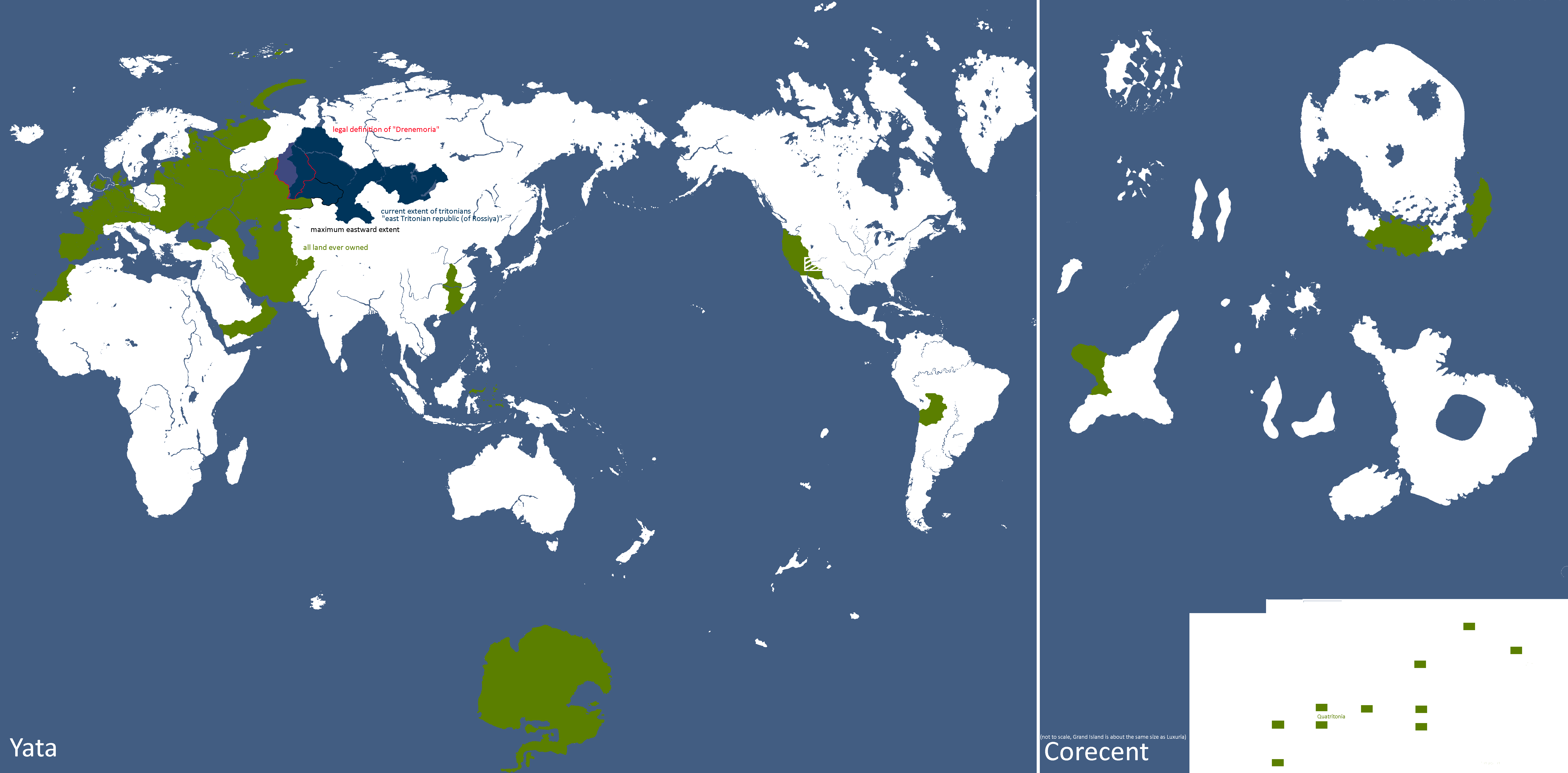
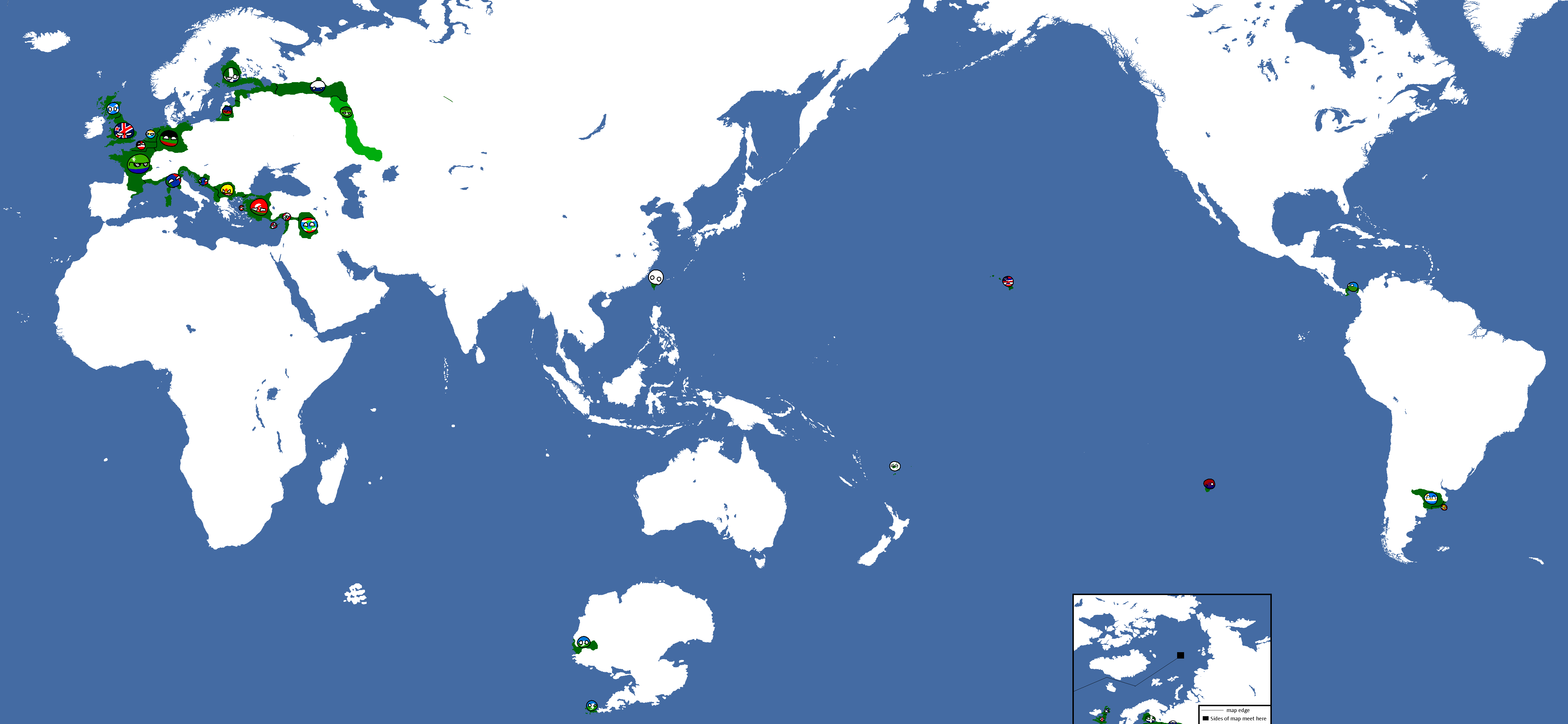
Lands Tritonia has owned across history: Year 175


Utsongan Maps
-
Languages of Utsong: Year 114
-
Utsong's Population Distribution: Year 114


Vedan Maps
-
Vedan Districts: Year 103

Waclawan Maps
-
Map of Waclaw: Year 172

Yetian Maps
-
Lost Archives Map: Yetia 1
-
Lost Archives Map: Yetia 2
-
Lost Archives Map: Yetia 3
-
Lost Archives Map: Yetia 4
-
Lost Archives Map: Yetia 5
-
Yetian Provinces: Spring 2019
-
Yetian Provinces
-
Map of which country captured what in yetia during WW5
-
Yetian Provinces: Year 90
-
Yetian Provinces: Year 108
-
Yetian Languages: Year 112
-
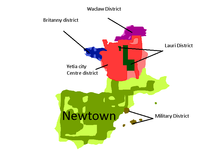
Districts of Yetia City: Year 114
-
Yetian Languages: Year 115
-
Yetian Provinces: Year 119 (Countryballs)
-
Yetian Provinces: Year 119
-
Yetian Provinces: Year 119 (Nameless)
-
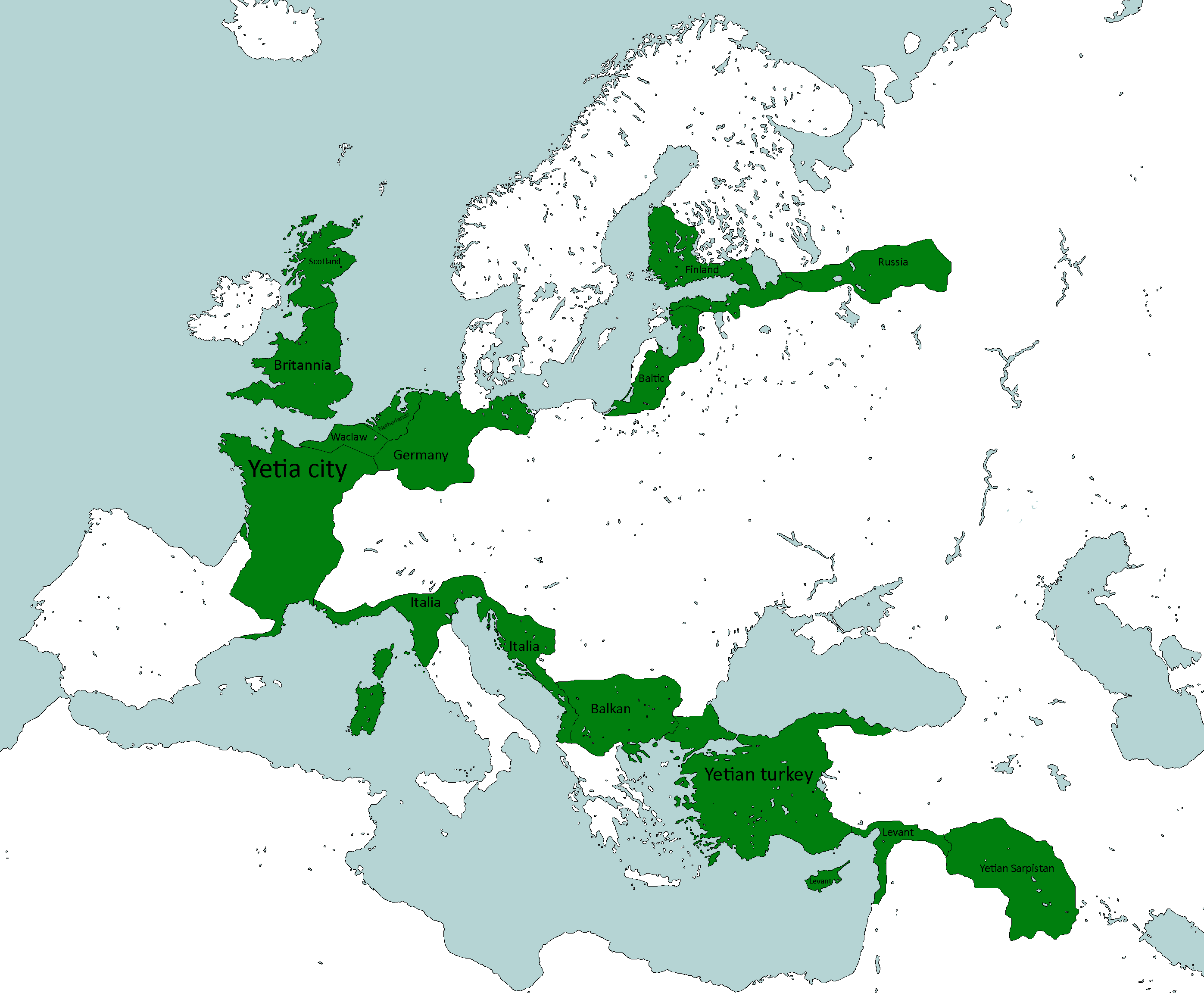
All territories ever ruled by Yetia: Year 121
-
Governorates of the Yetian State: Year 122


Yorican Maps
-
Yorican States: Year 117
-
Yorica Overlay: Year 117


Other Maps
-
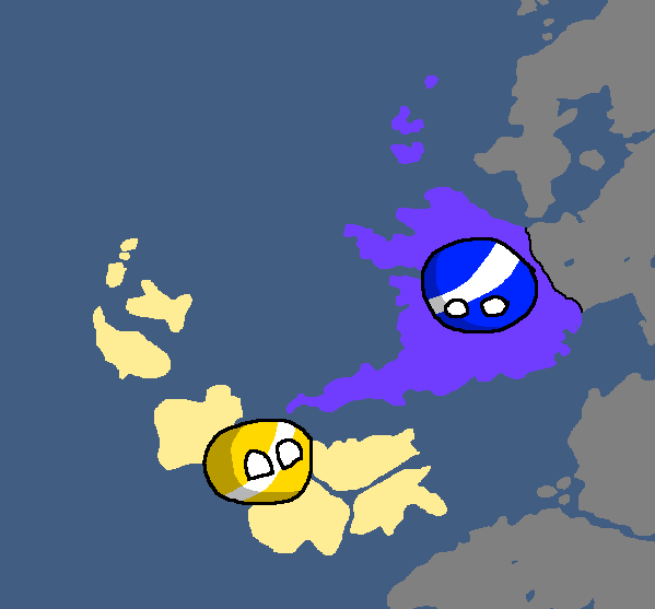
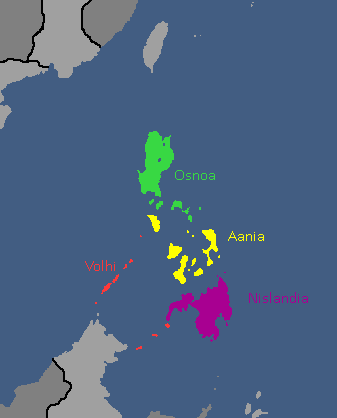
Map of the Alyphia Current
-
Neighbourhoods of New Mylatsk
