List of Maps: Difference between revisions
No edit summary |
No edit summary |
||
| Line 86: | Line 86: | ||
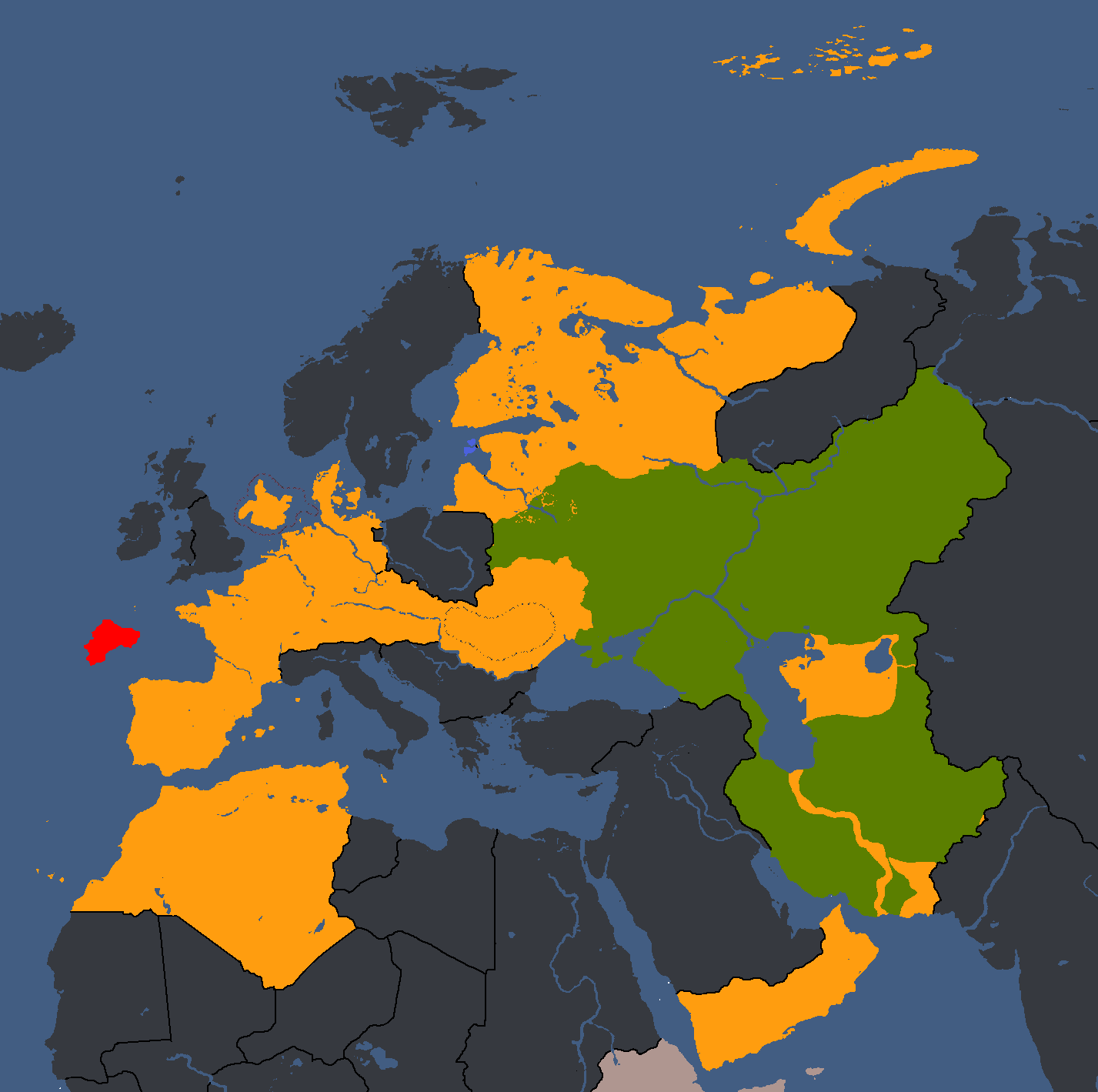
economymap.png|Map of Economic Structure<ref>🔴 - State-Run, 🟠 - Mixed Economy (all variants), 🟡 - Private-Run</ref>: Year 373 | economymap.png|Map of Economic Structure<ref>🔴 - State-Run, 🟠 - Mixed Economy (all variants), 🟡 - Private-Run</ref>: Year 373 | ||
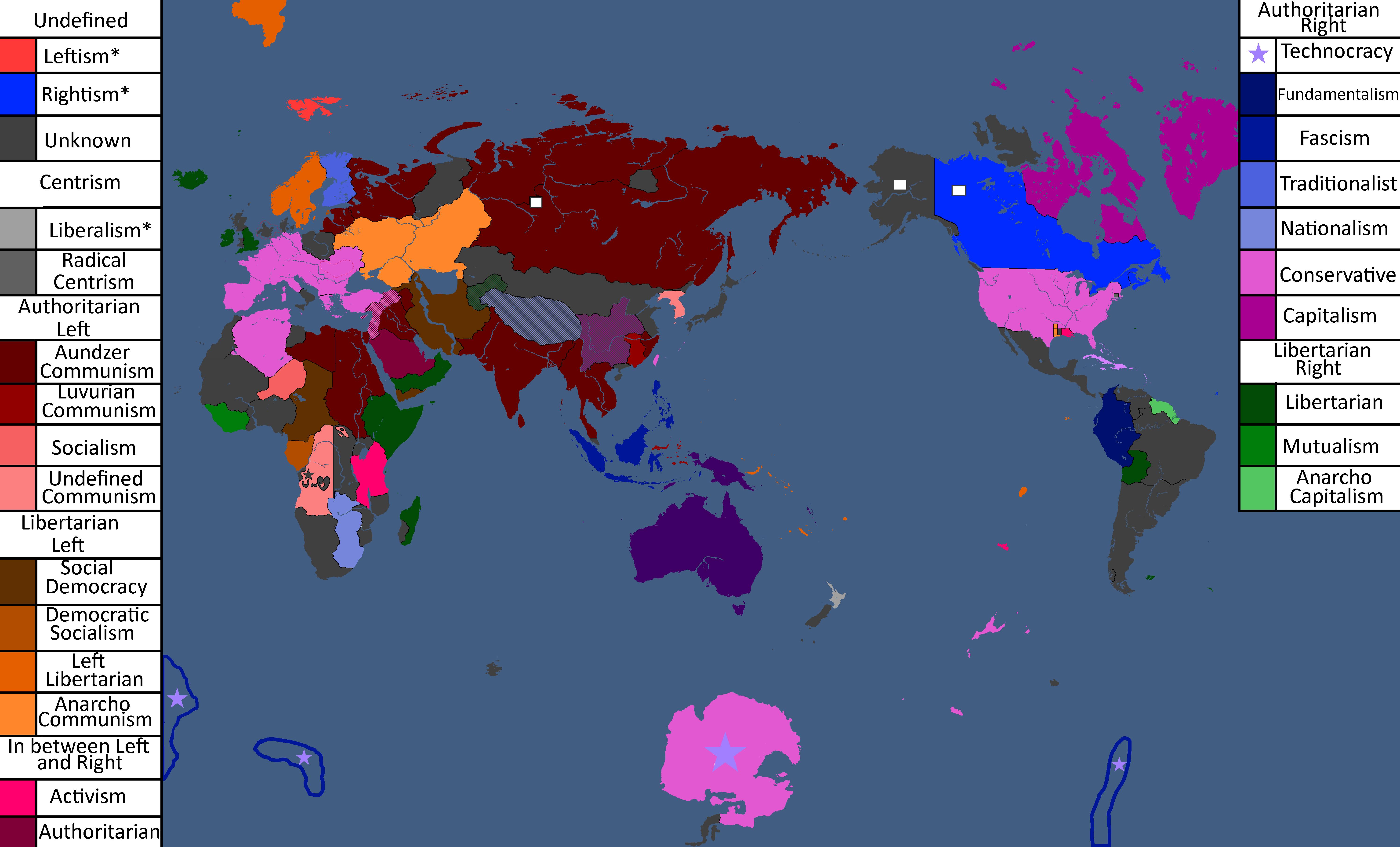
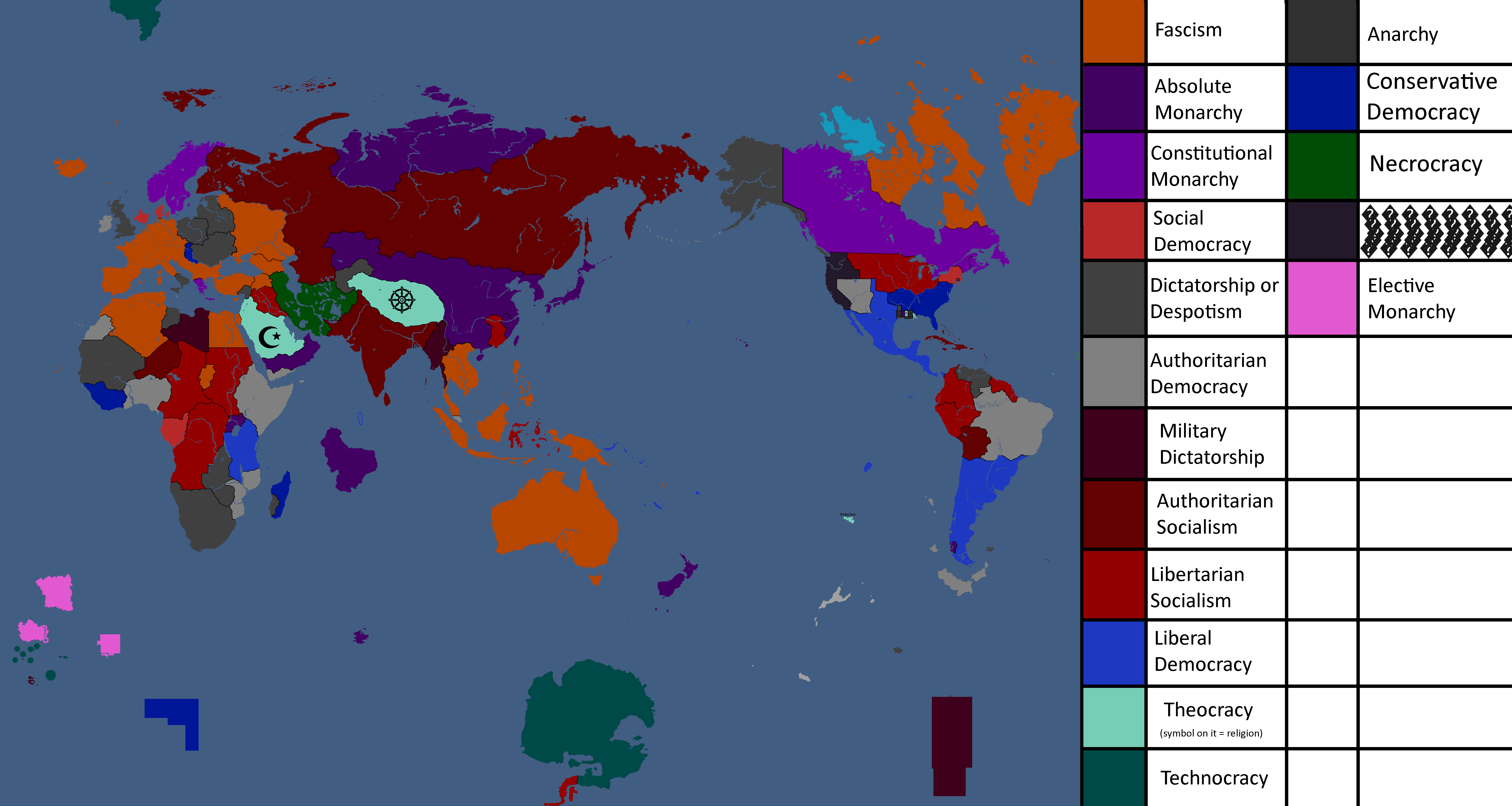
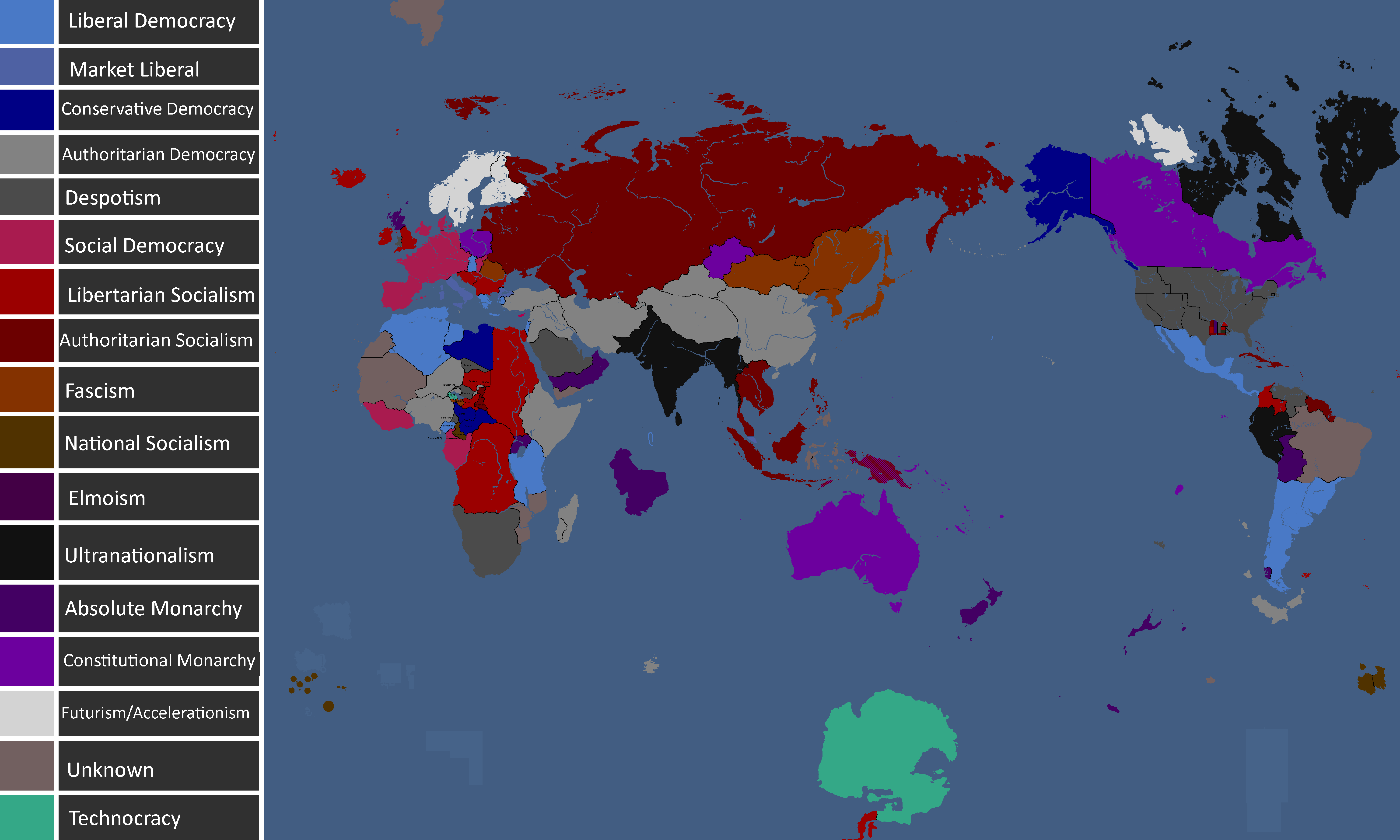
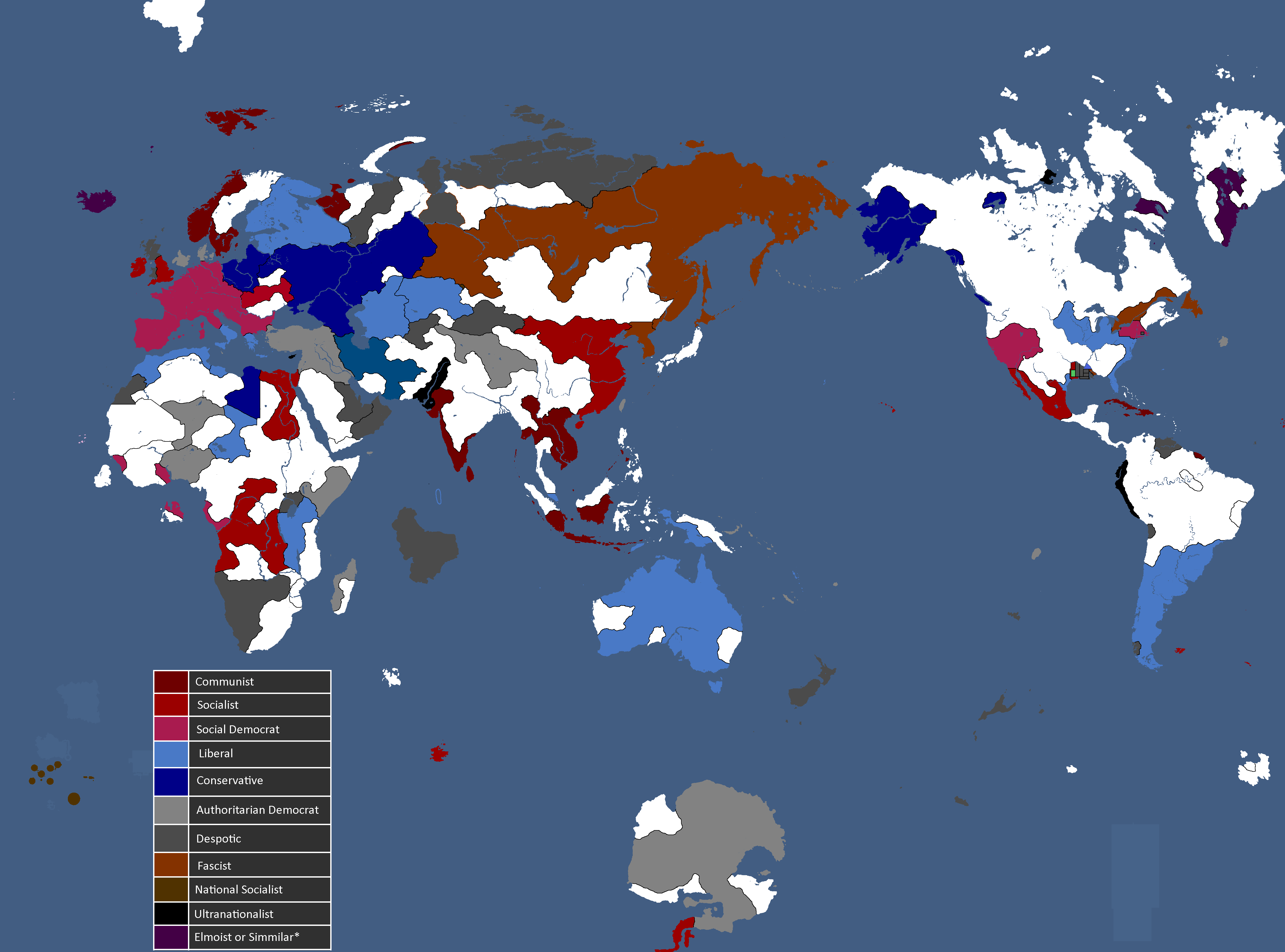
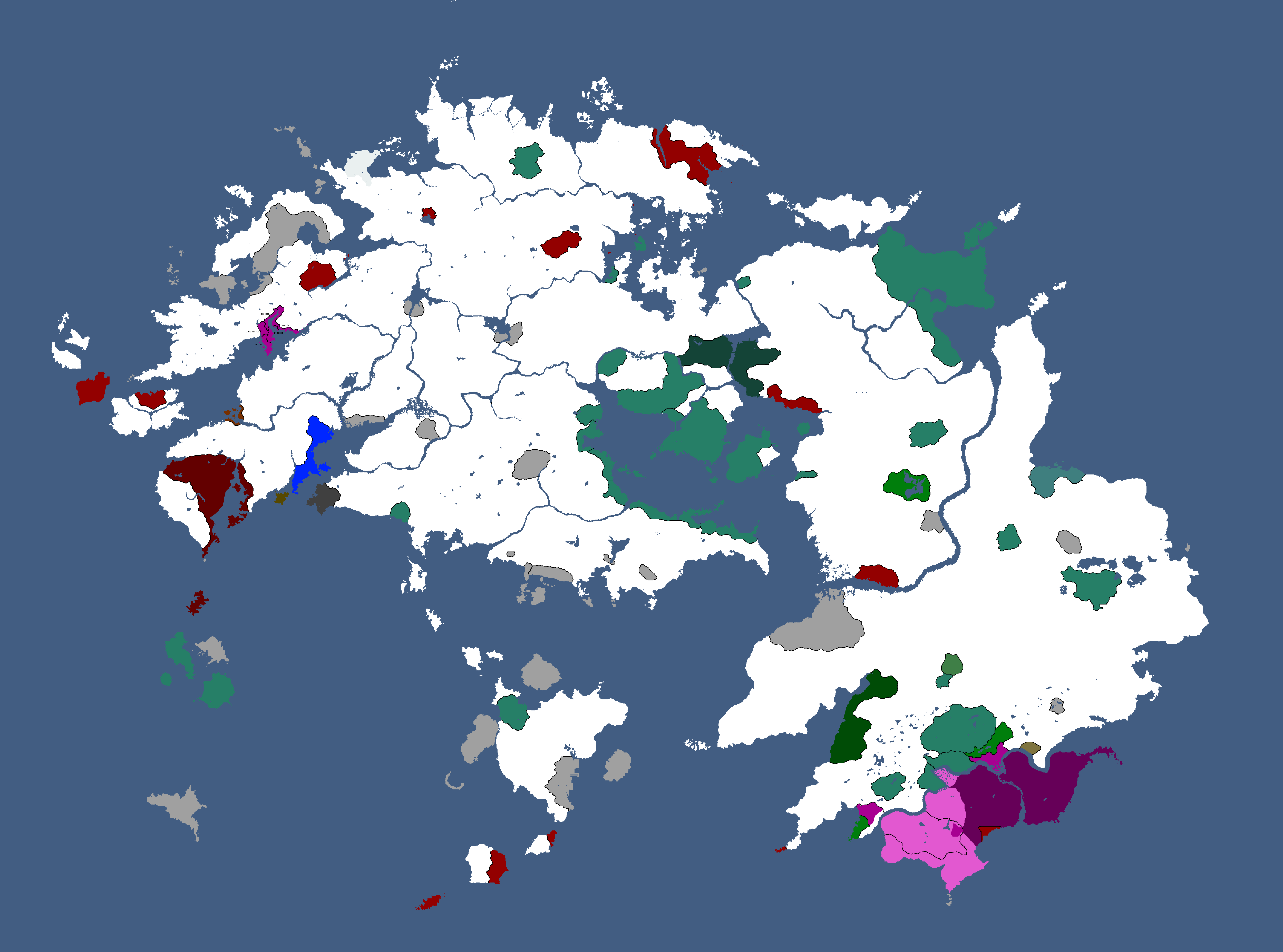
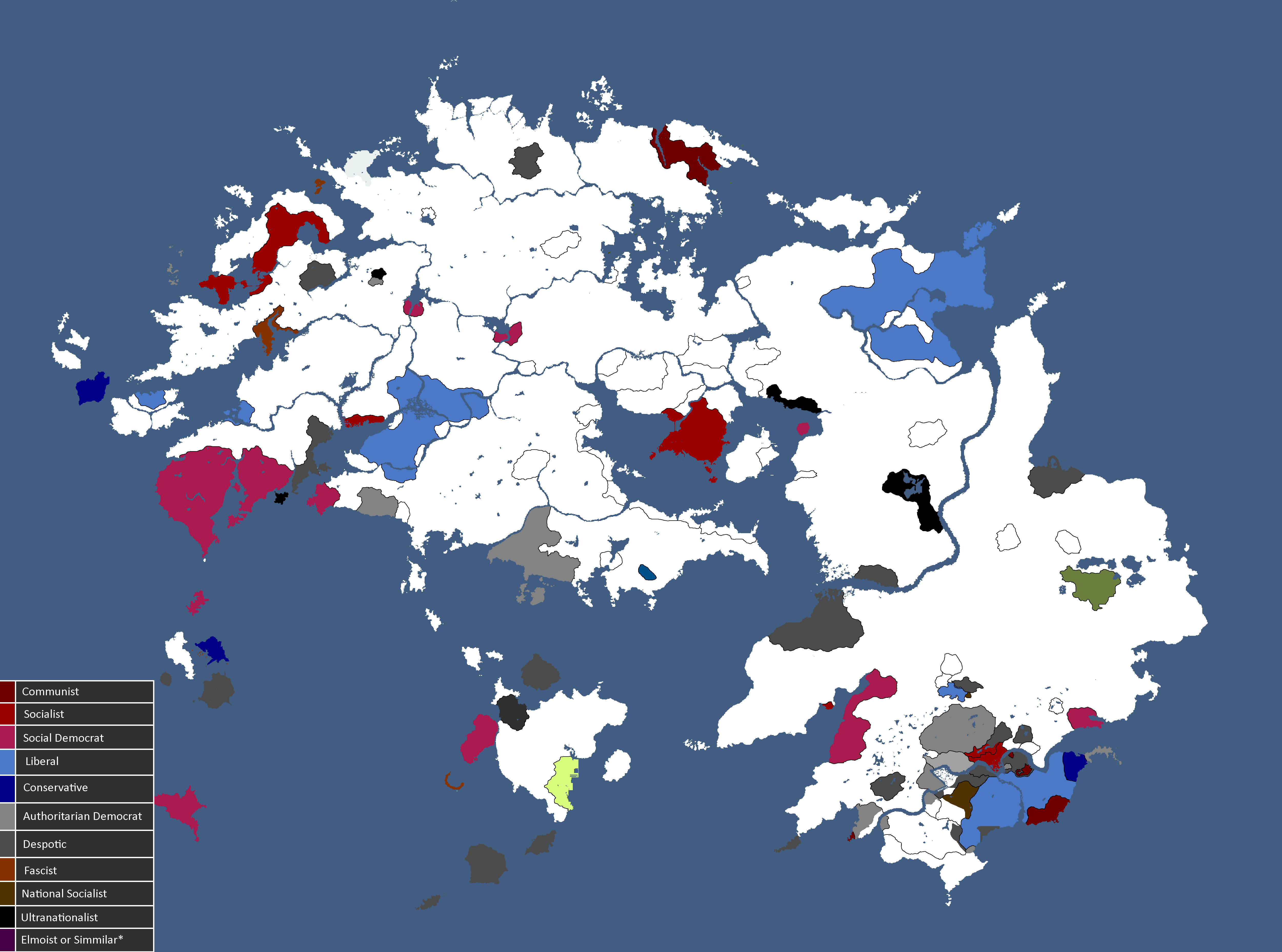
yataideologies.png|Map of Ideologies: Year 375 | yataideologies.png|Map of Ideologies: Year 375 | ||
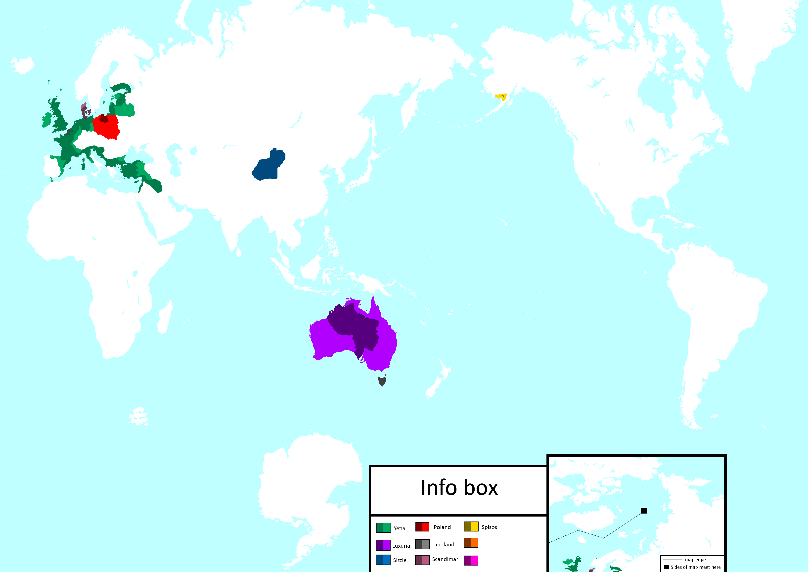
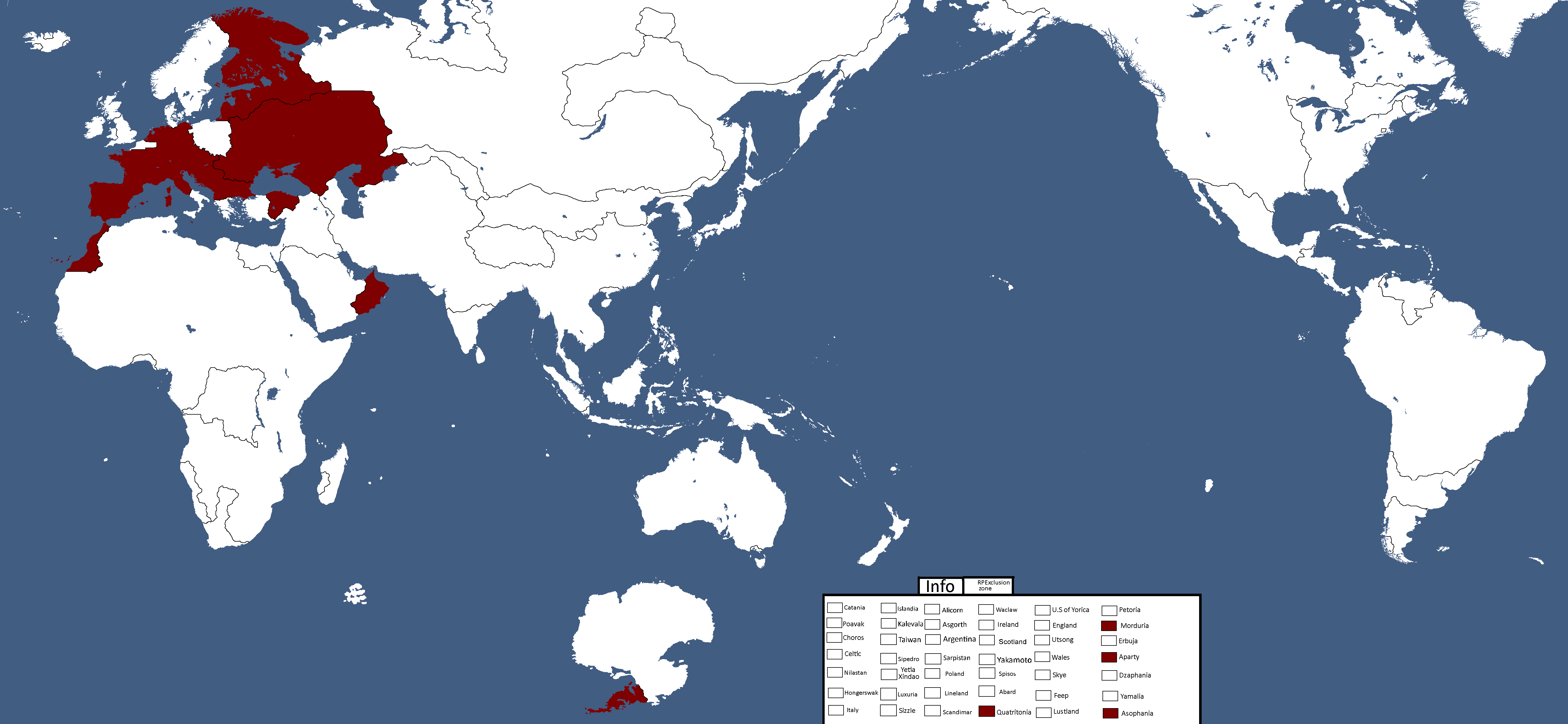
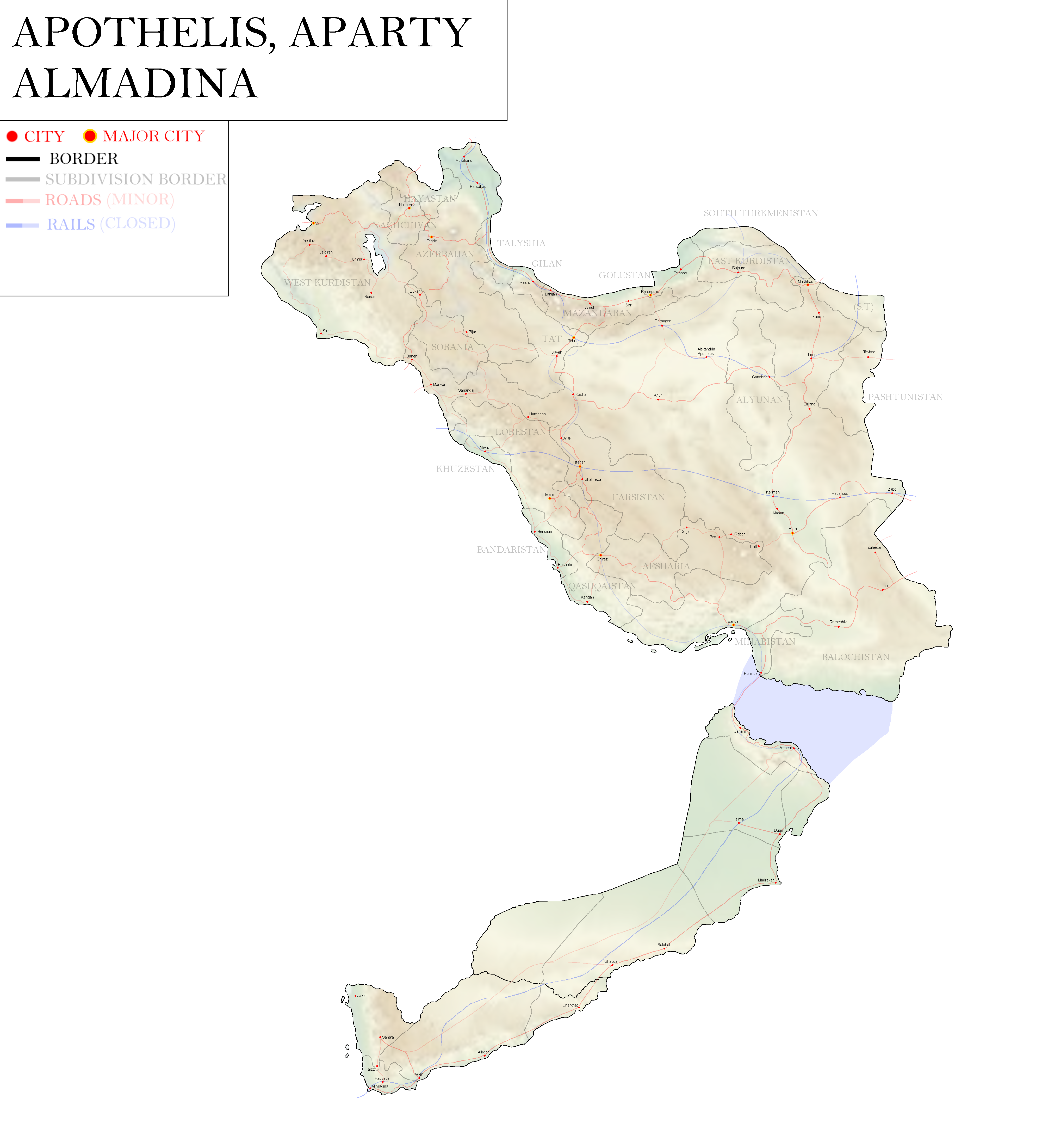
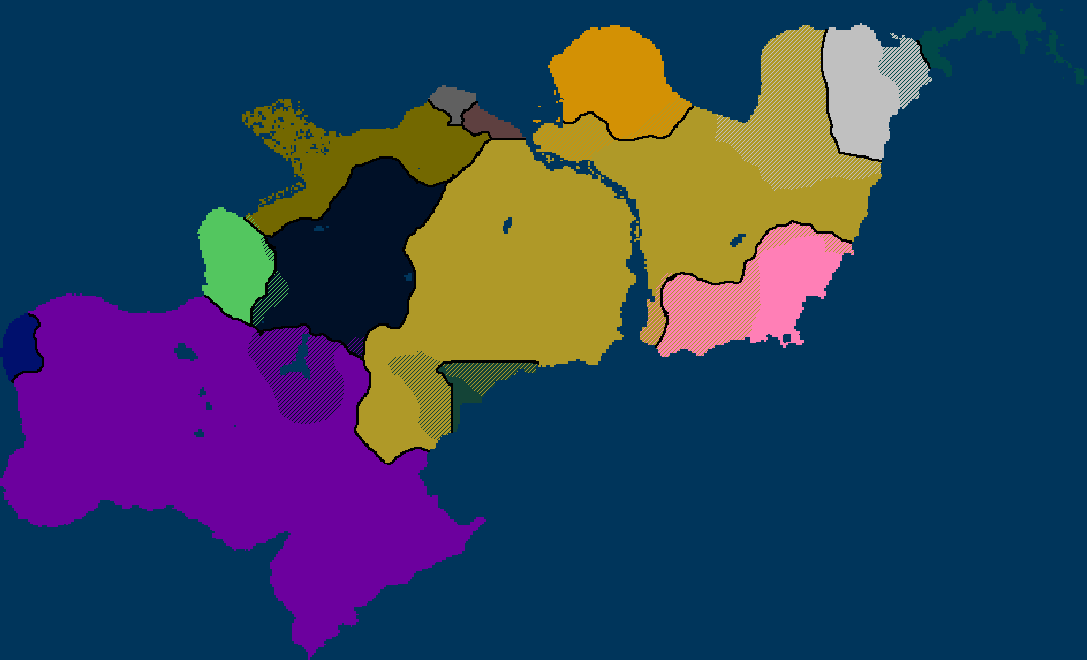
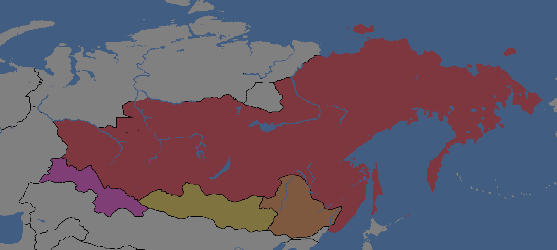
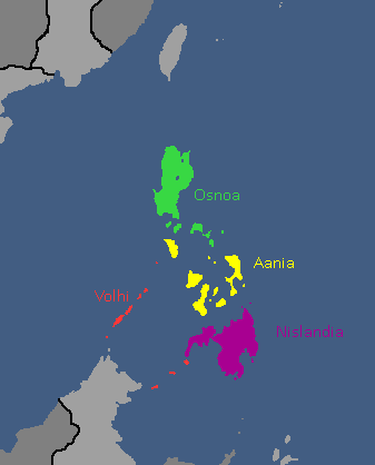
apothelisapartyalmadina.png|Map of [[Apothelis]], [[Aparty]], and [[Almadina]]: Year 377 | |||
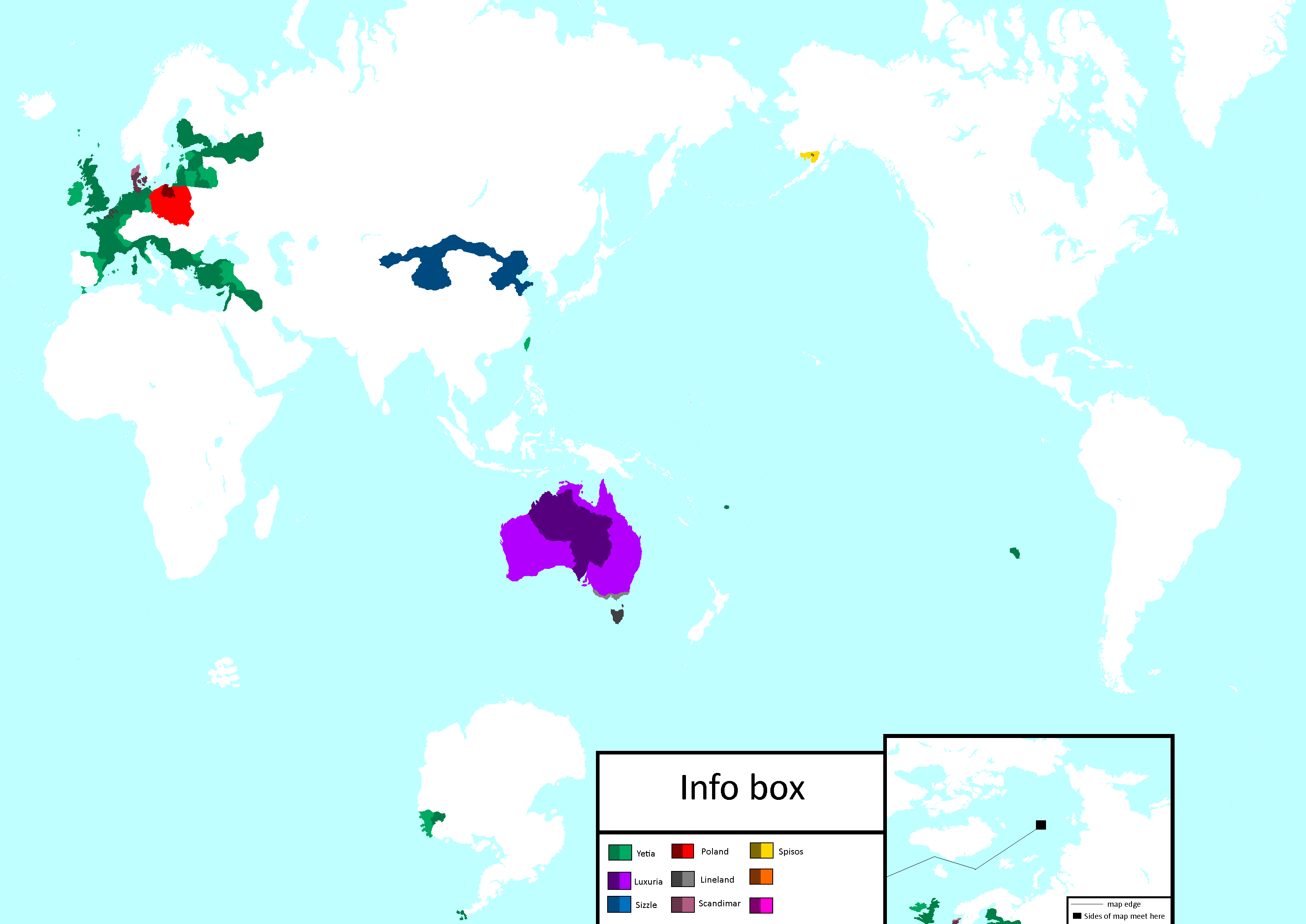
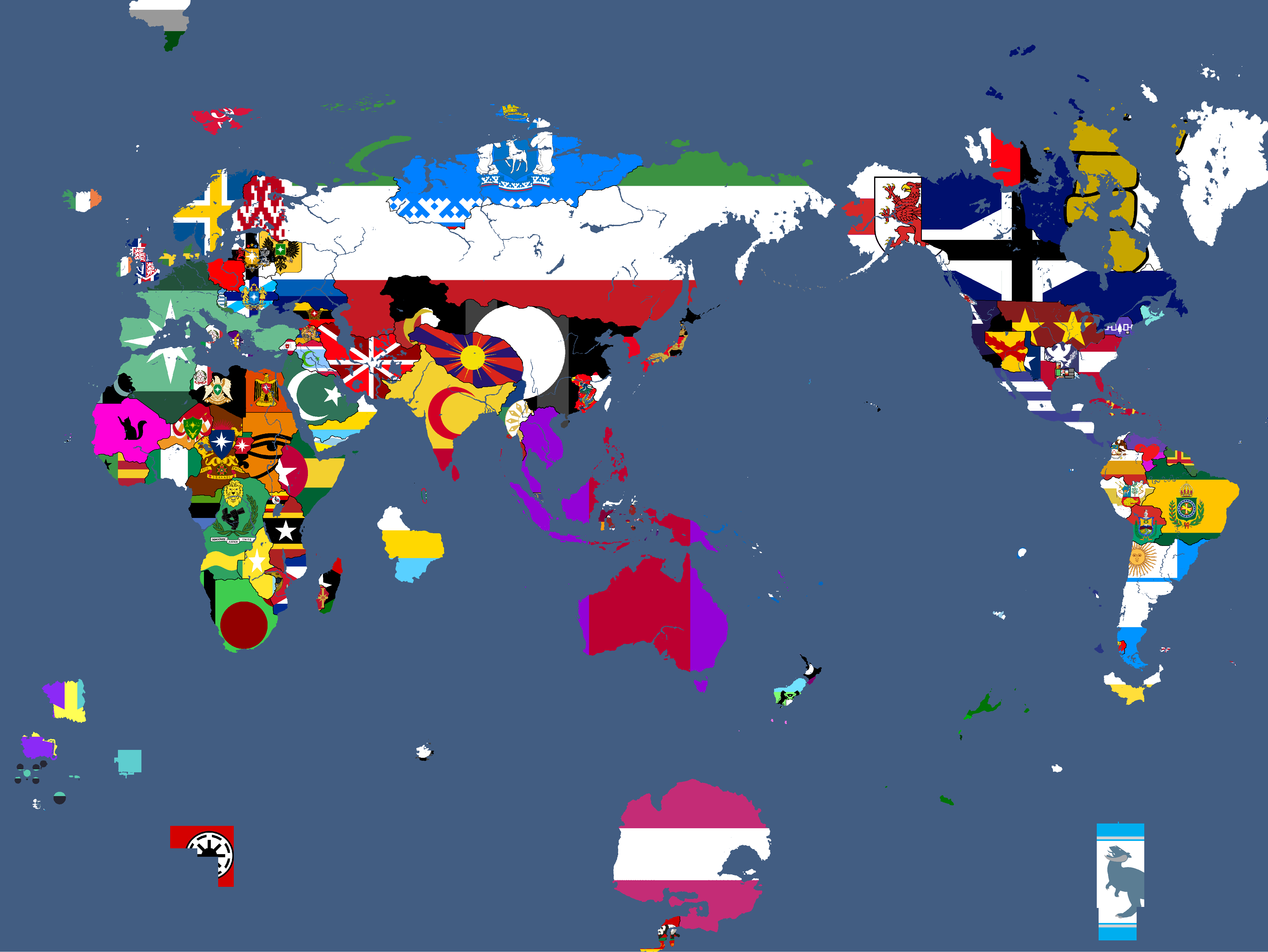
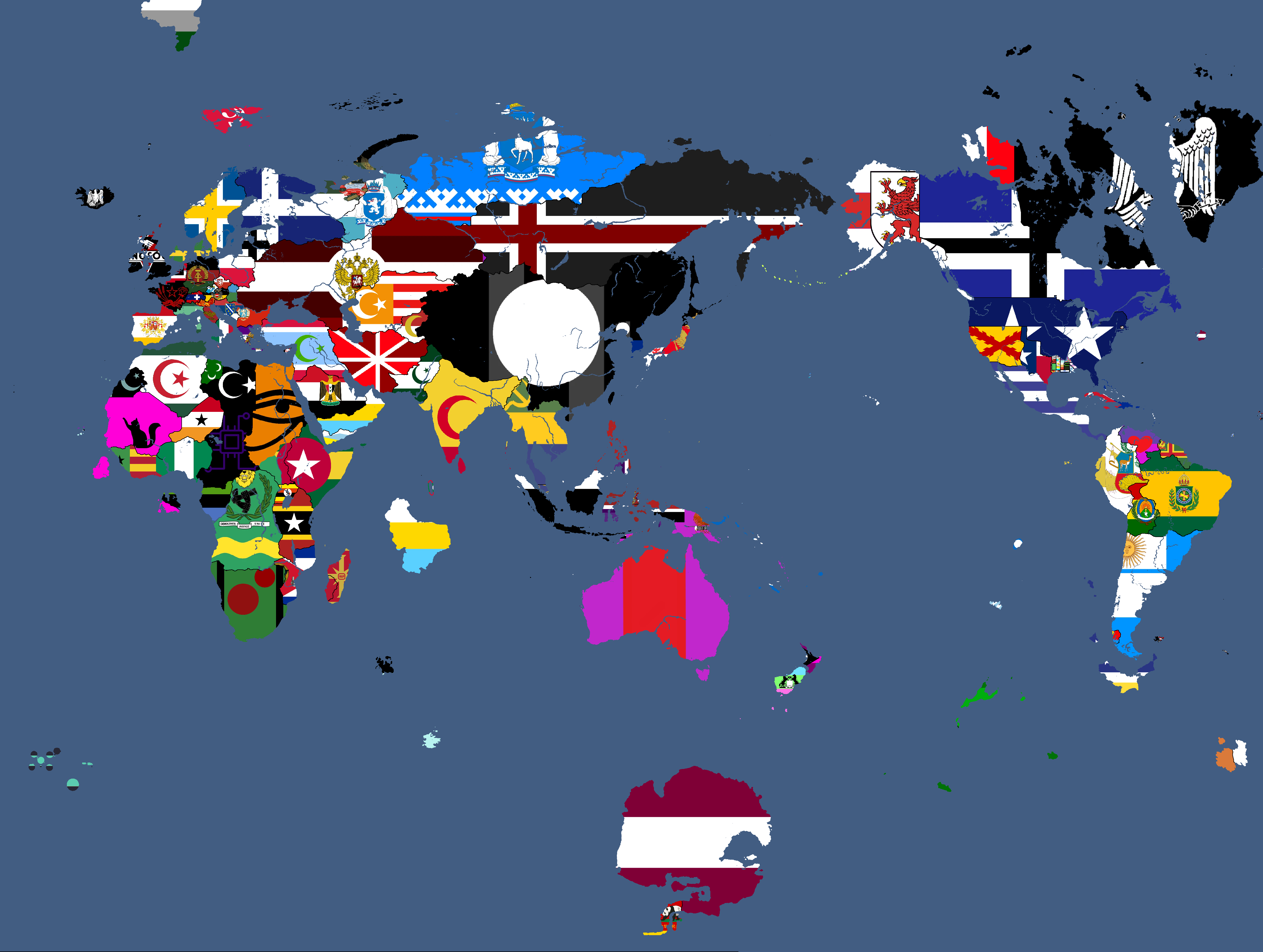
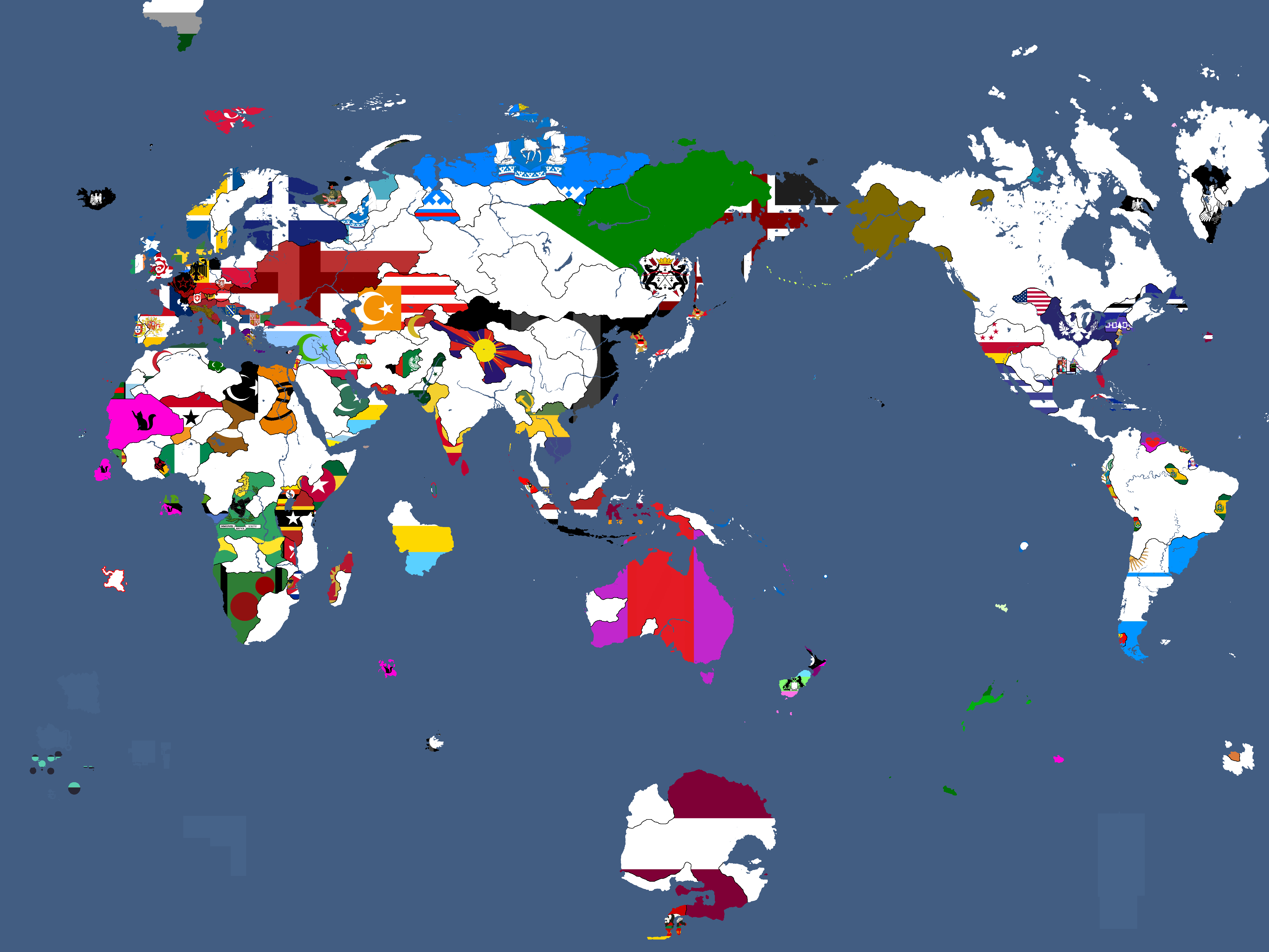
flagmap3.png|Flag Map: Year 377 | |||
</gallery> | </gallery> | ||
===Theian Maps=== | ===Theian Maps=== | ||
| Line 121: | Line 123: | ||
===Extrasolar Maps=== | ===Extrasolar Maps=== | ||
<gallery mode="packed"> | <gallery mode="packed"> | ||
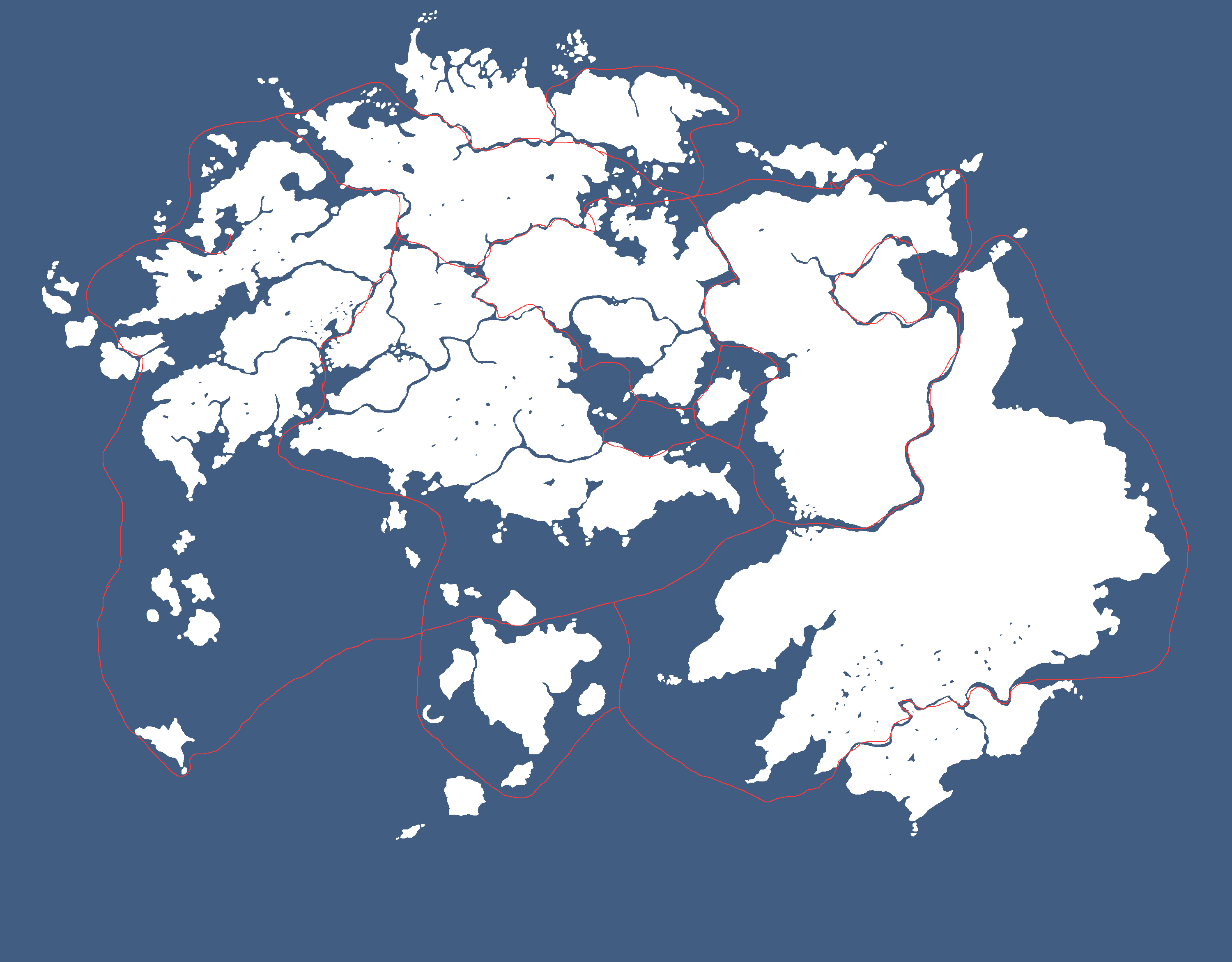
1stquwar.png|Map of Major Civilisations upon the beginning of the First Qu Invasion: Year 469,430 BGS | |||
ftlroutemap.png|Map of FTL Routes: Year 327 | ftlroutemap.png|Map of FTL Routes: Year 327 | ||
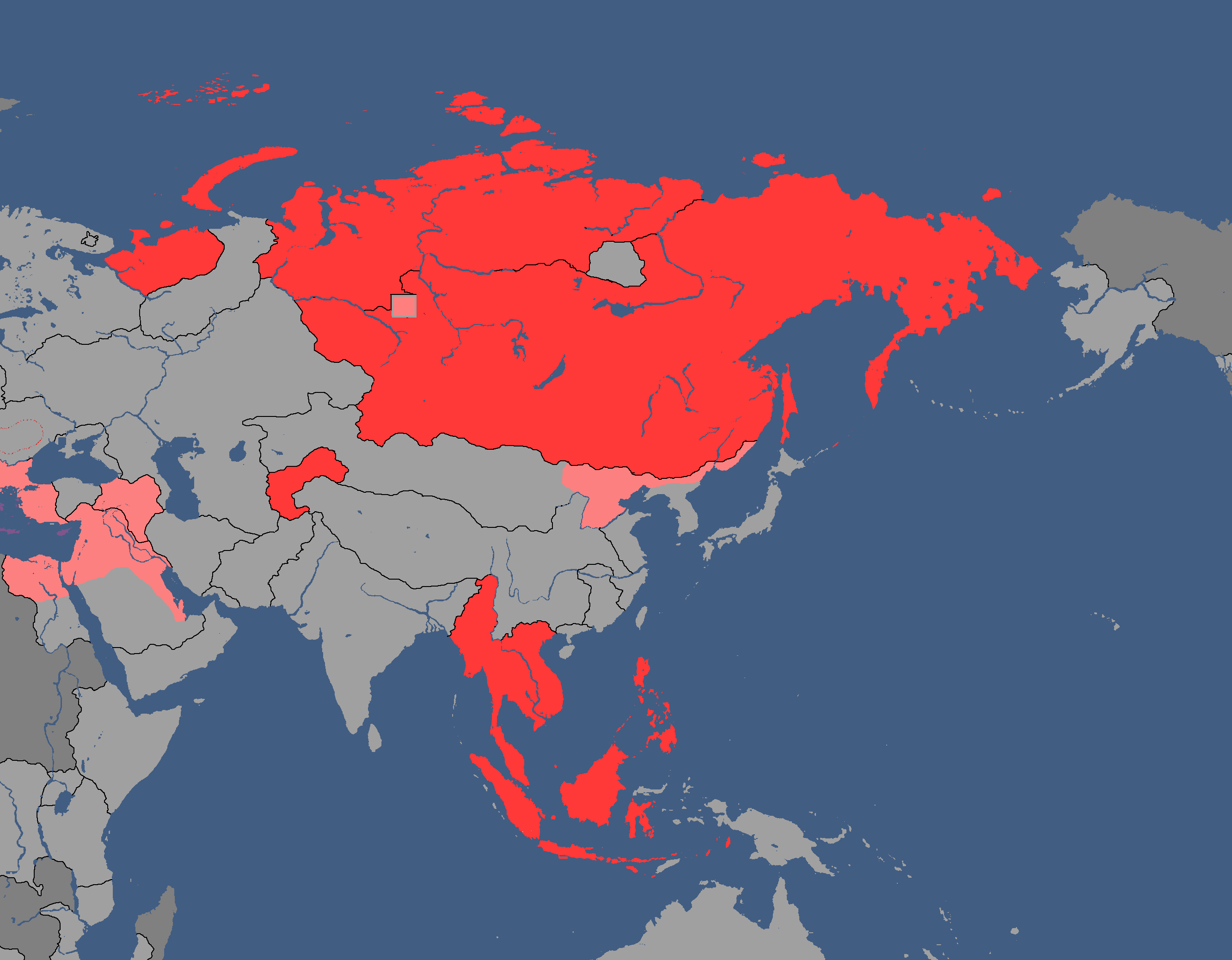
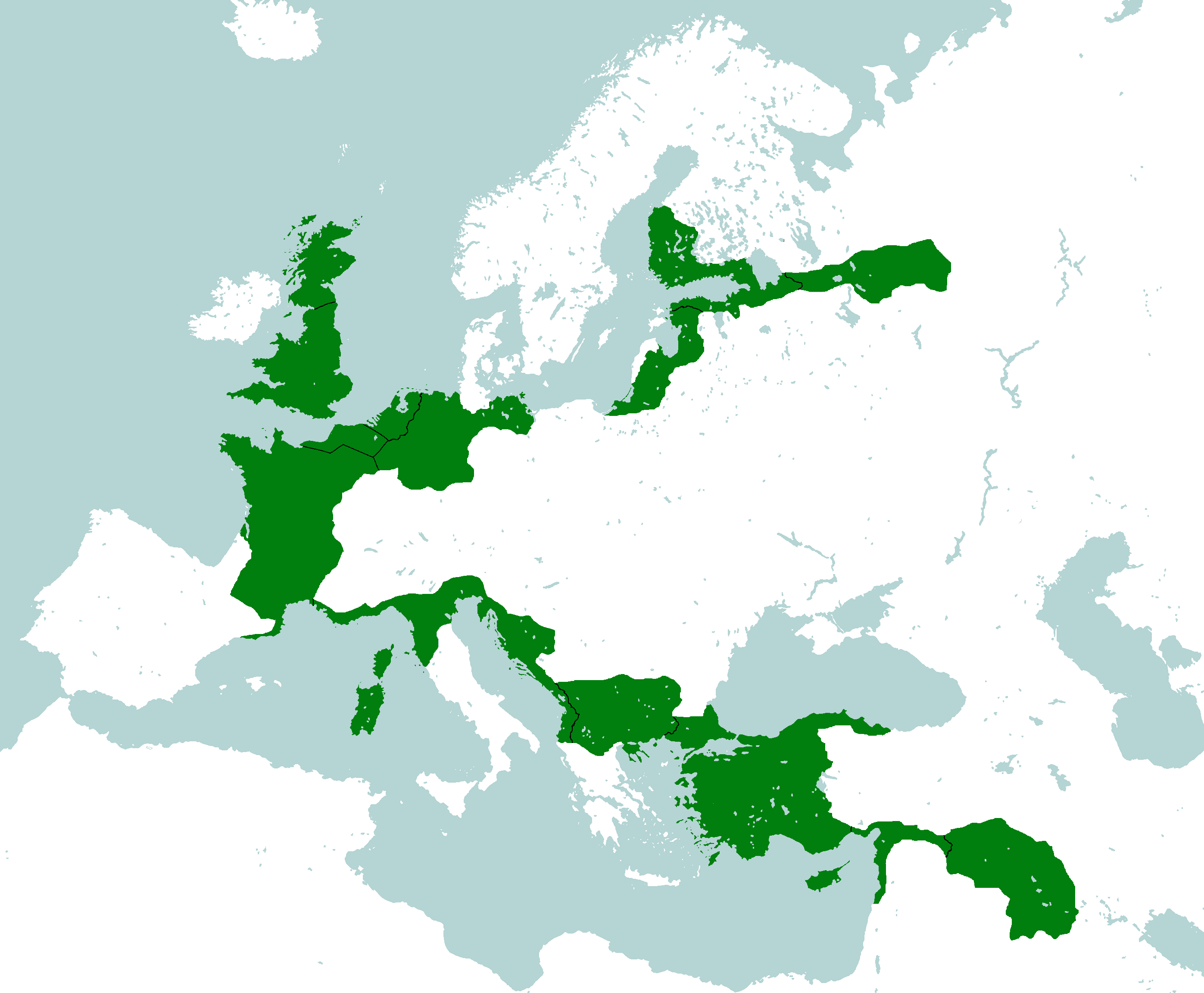
democracymap4.png|Map of Democracy<ref>red: NOT DEMOCRATIC, yellow: idfk in the middle, green: DEMOCRATIC :)</ref>: Year 343 | democracymap4.png|Map of Democracy<ref>red: NOT DEMOCRATIC, yellow: idfk in the middle, green: DEMOCRATIC :)</ref>: Year 343 | ||
| Line 144: | Line 147: | ||
cataniamap.png|Catania Flag Map: Year 215 | cataniamap.png|Catania Flag Map: Year 215 | ||
nnrc.png|Map of the Newfoundland National Restoration Council, de facto Catanian land: Year 229 | nnrc.png|Map of the Newfoundland National Restoration Council, de facto Catanian land: Year 229 | ||
</gallery> | |||
===Cotunauinian-Luvurian Maps=== | |||
<gallery mode="packed"> | |||
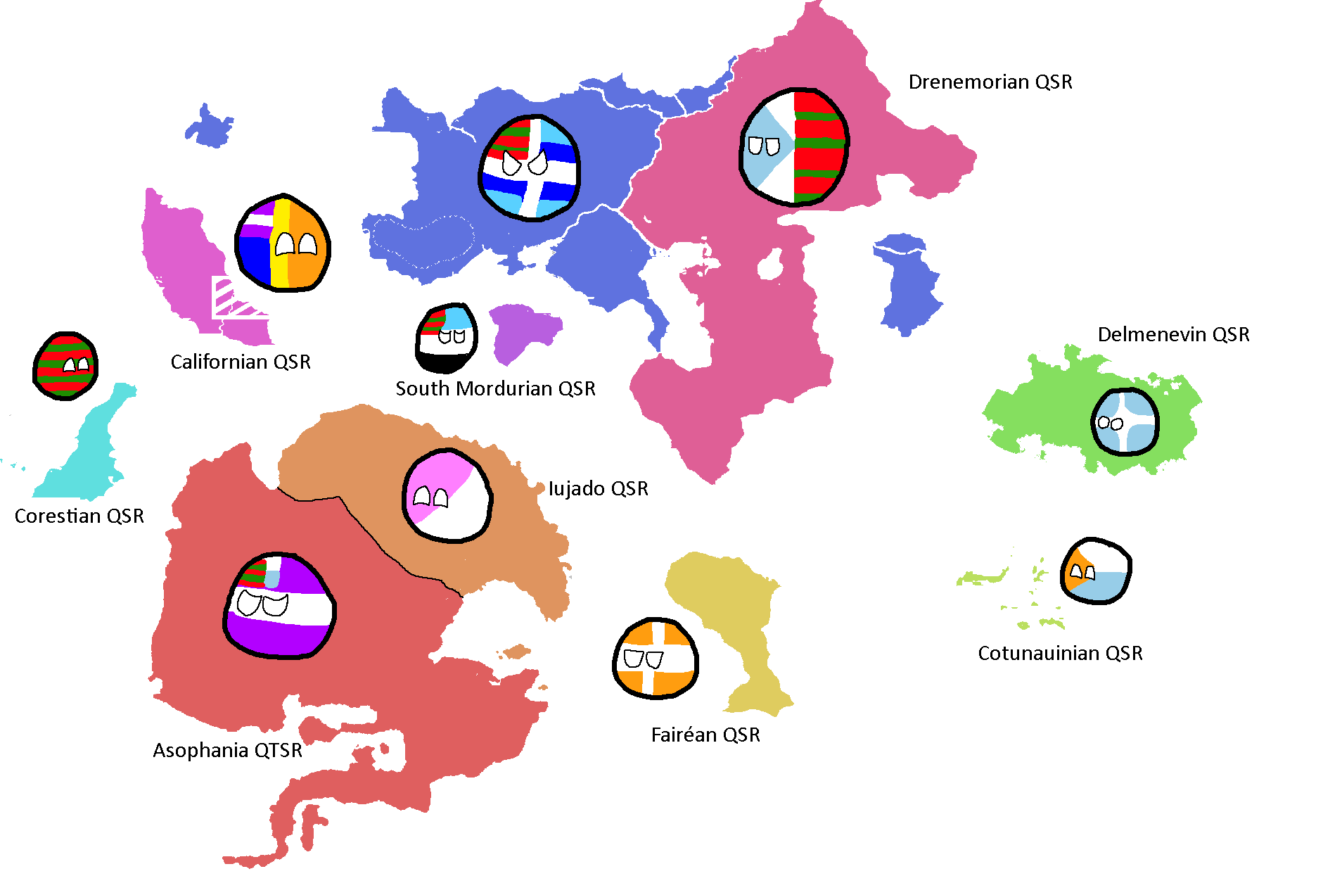
cotunauinialuvuria.png|Map of Cotunauinia-Luvuria: Year 377 | |||
</gallery> | </gallery> | ||
===Drenemorian Maps=== | ===Drenemorian Maps=== | ||
| Line 264: | Line 271: | ||
tritoniaterritories.png|Red = Original Tritonia, Green = Current Tritonia, Yellow ) Tritonia at height: Year 135 | tritoniaterritories.png|Red = Original Tritonia, Green = Current Tritonia, Yellow ) Tritonia at height: Year 135 | ||
alltritonias.png|Lands Tritonia has owned across history: Year 175 | alltritonias.png|Lands Tritonia has owned across history: Year 175 | ||
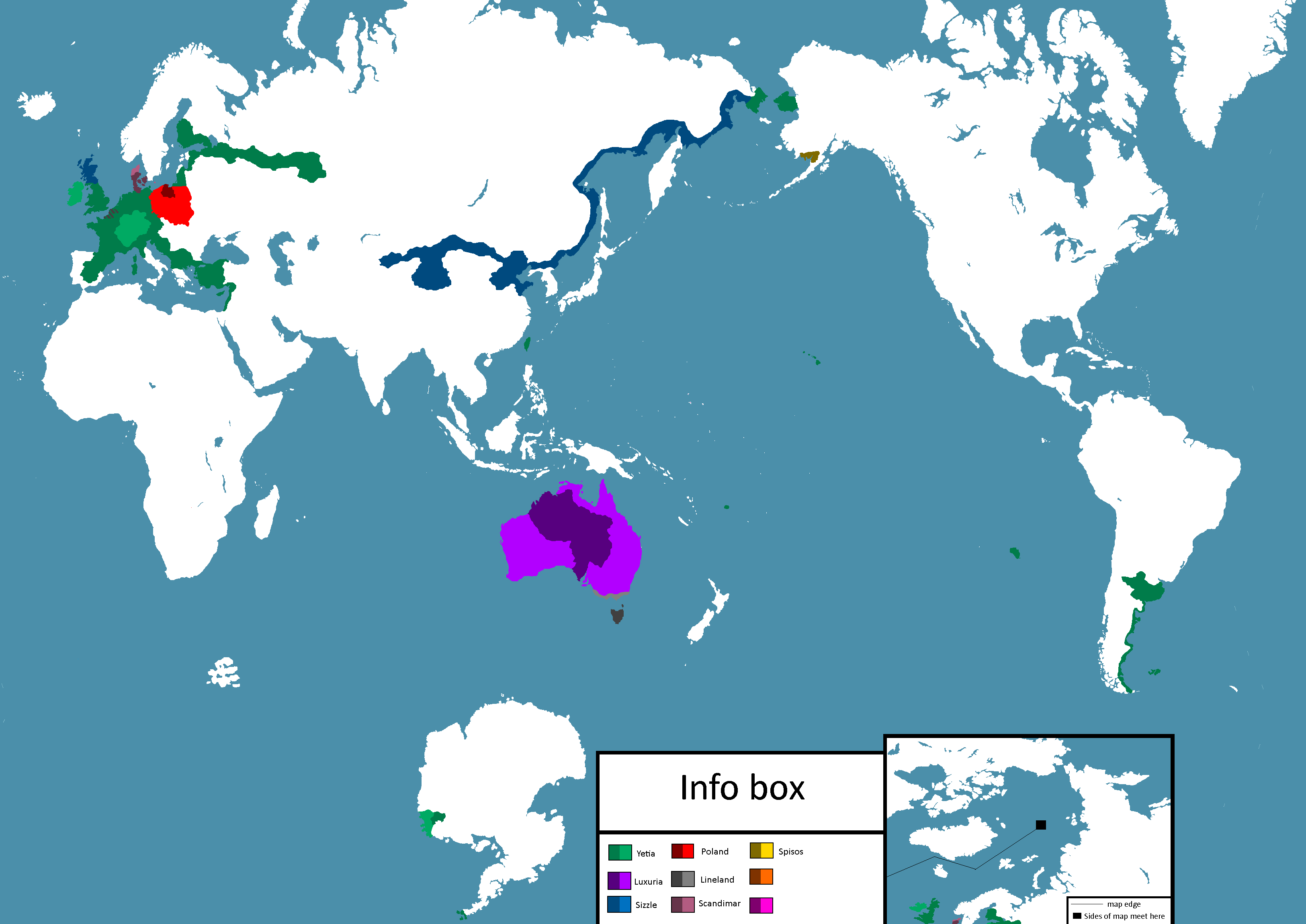
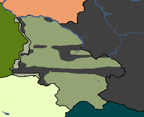
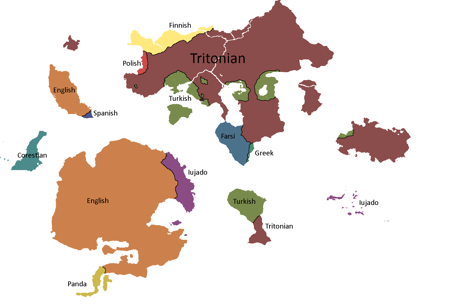
tritoniamap2.png|Map of Tritonia: Year 377 | |||
</gallery> | </gallery> | ||
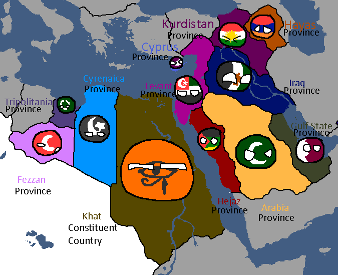
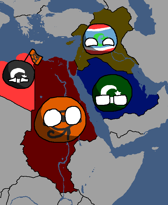
===UAR/Arab Federation Maps=== | ===UAR/Arab Federation Maps=== | ||
| Line 328: | Line 336: | ||
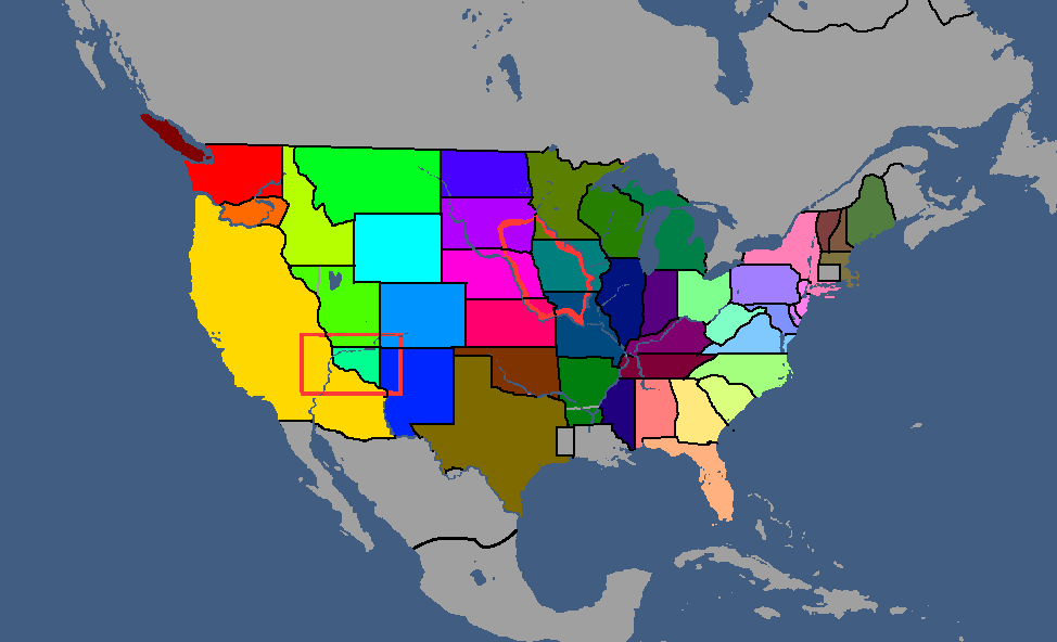
yoricastates.png|Yorican States: Year 117 | yoricastates.png|Yorican States: Year 117 | ||
yoricaoverlay.png|Yorica Overlay: Year 117 | yoricaoverlay.png|Yorica Overlay: Year 117 | ||
yoricastates2.png: Year 379 | |||
</gallery> | </gallery> | ||
== Other Maps== | == Other Maps== | ||
Revision as of 09:57, 7 May 2025
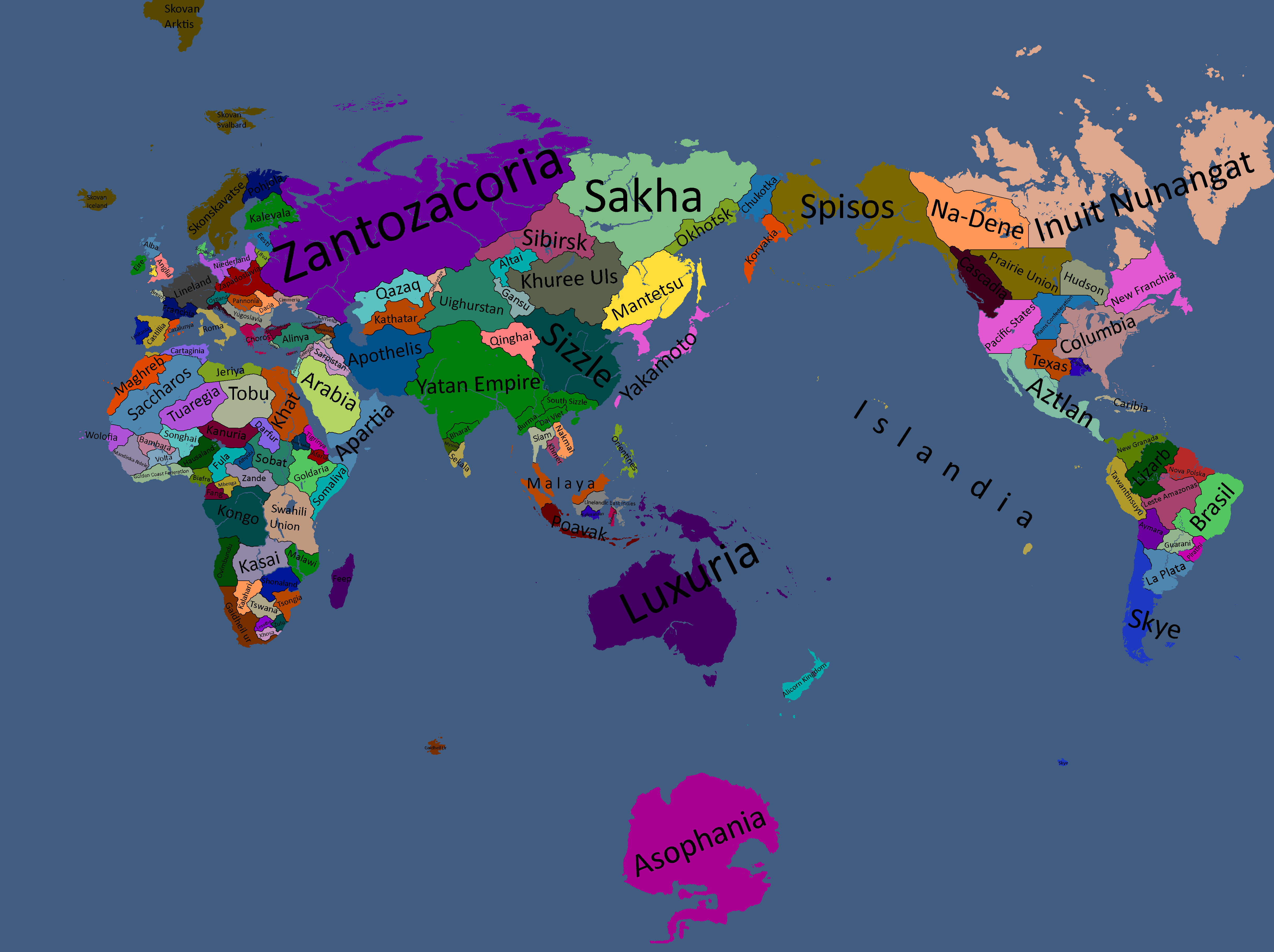
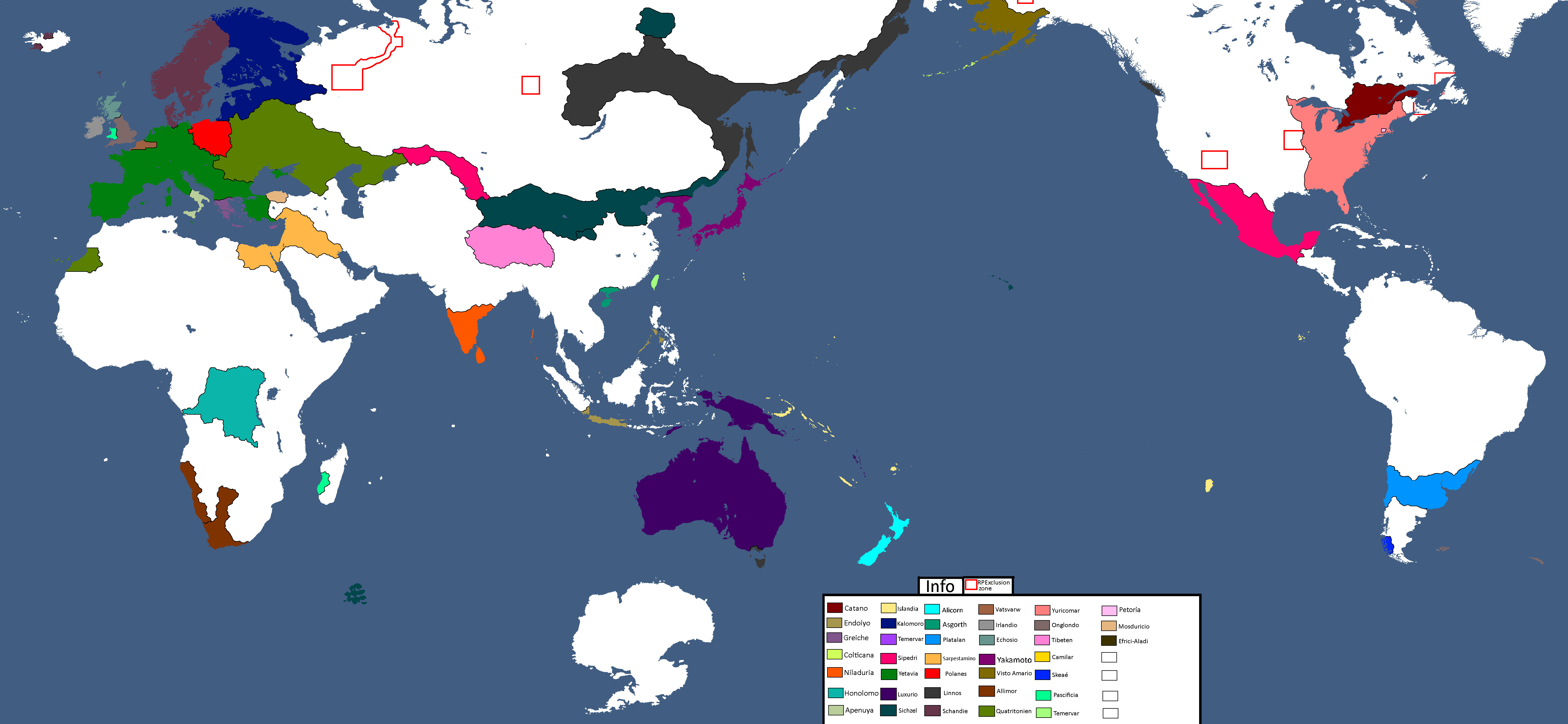
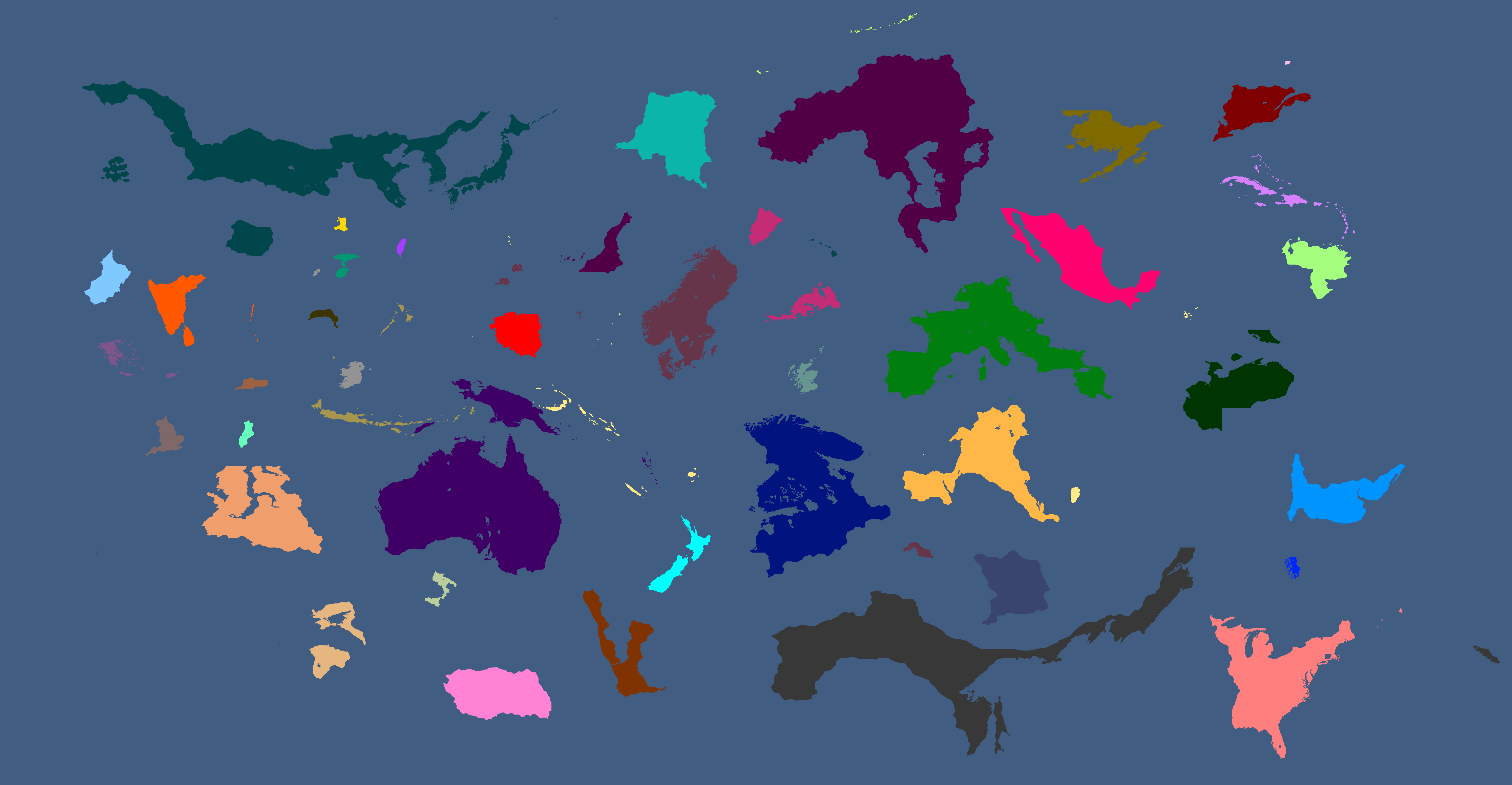
International Maps
Yatan Maps
-
Map of the First Human-Yomtach War: Year 15638 BCE
-
Map of Elemental Nations: Year 8701 BCE
-
Map of East Asia: Year 1854 BCE
-
Map of the Tarqalan Empire: Year 1700 BCE
-
Map of Ancient Nations: Year 319 BCE
-
Lost Archives Map: 1
-
Lost Archives Map: 2
-
Lost Archives Map: 3
-
Lost Archives Map: 4
-
Lost Archives Map: 5
-
Lost Archives Map: 6
-
Lost Archives: Nuclear Test Map
-
-
Map of the end of World War 2
-
Map of early World War 3
-
Yomtach Tribes: Year 85
-
Pixels in sizes: Year 90
-
What Quatritonia calls the world
-
Year 97
-
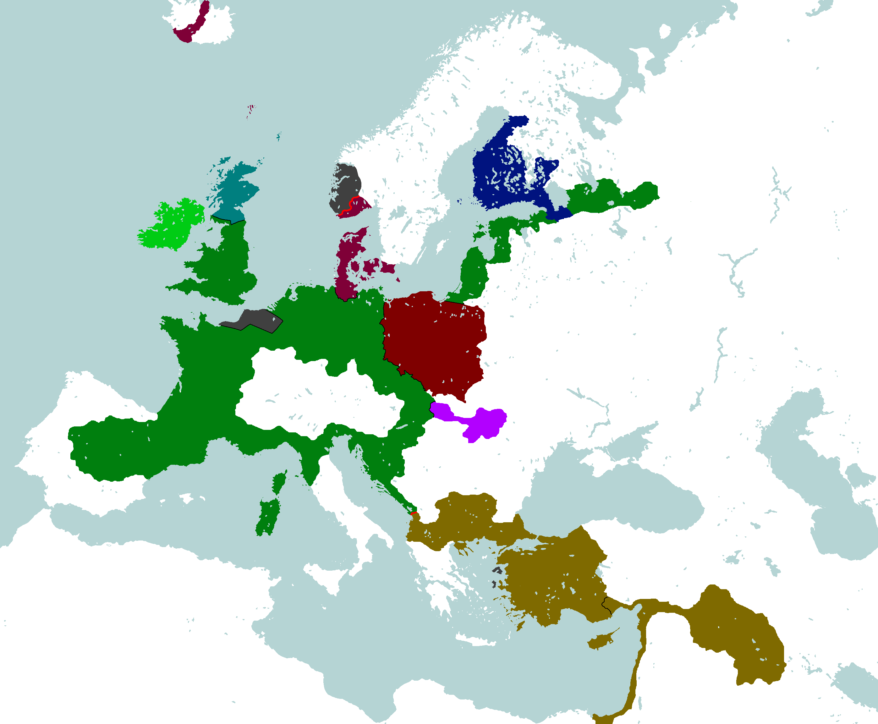
European Cultures: Year 103
-
Unlabled
-
South Asia Overlay: Year 112
-
Nation Owners Map: Year 112
-
South Asia Overlay: Year 112 (2)
-
Communist Governments: Year 112
-
Asia Overlay: Year 113
-
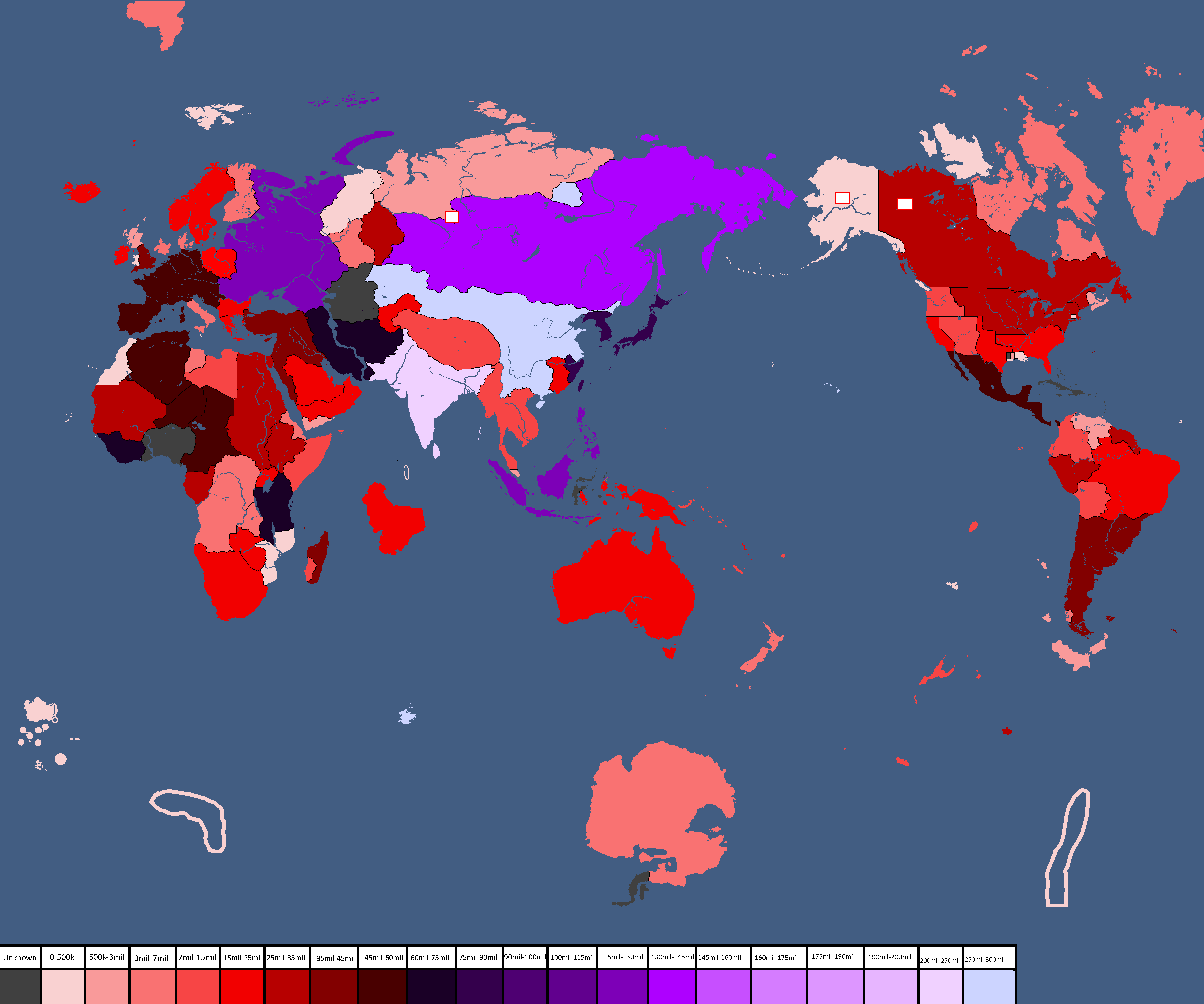
Population of Yata's Countries: Year 114
-
Northern Canada Overlay: Year 114
-
IRL Countries with no claims in them on YATA: Year 115
-

Europe's Population Density: Year 115
-
"Yata if it was good" meme: Year 116
-
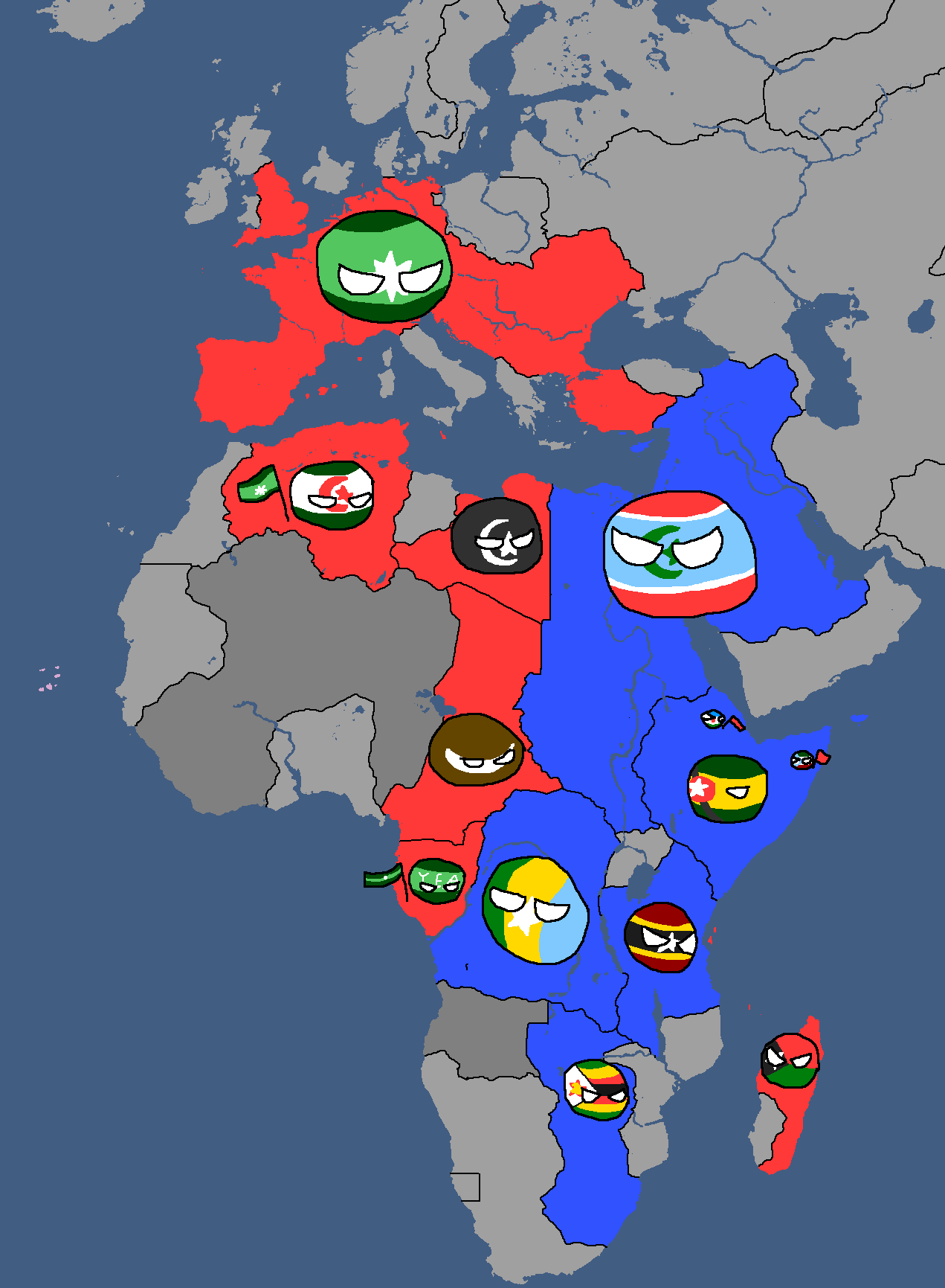
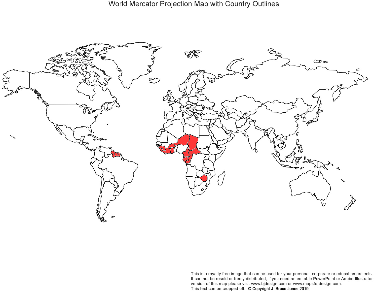
African Cold War: Year 117
-
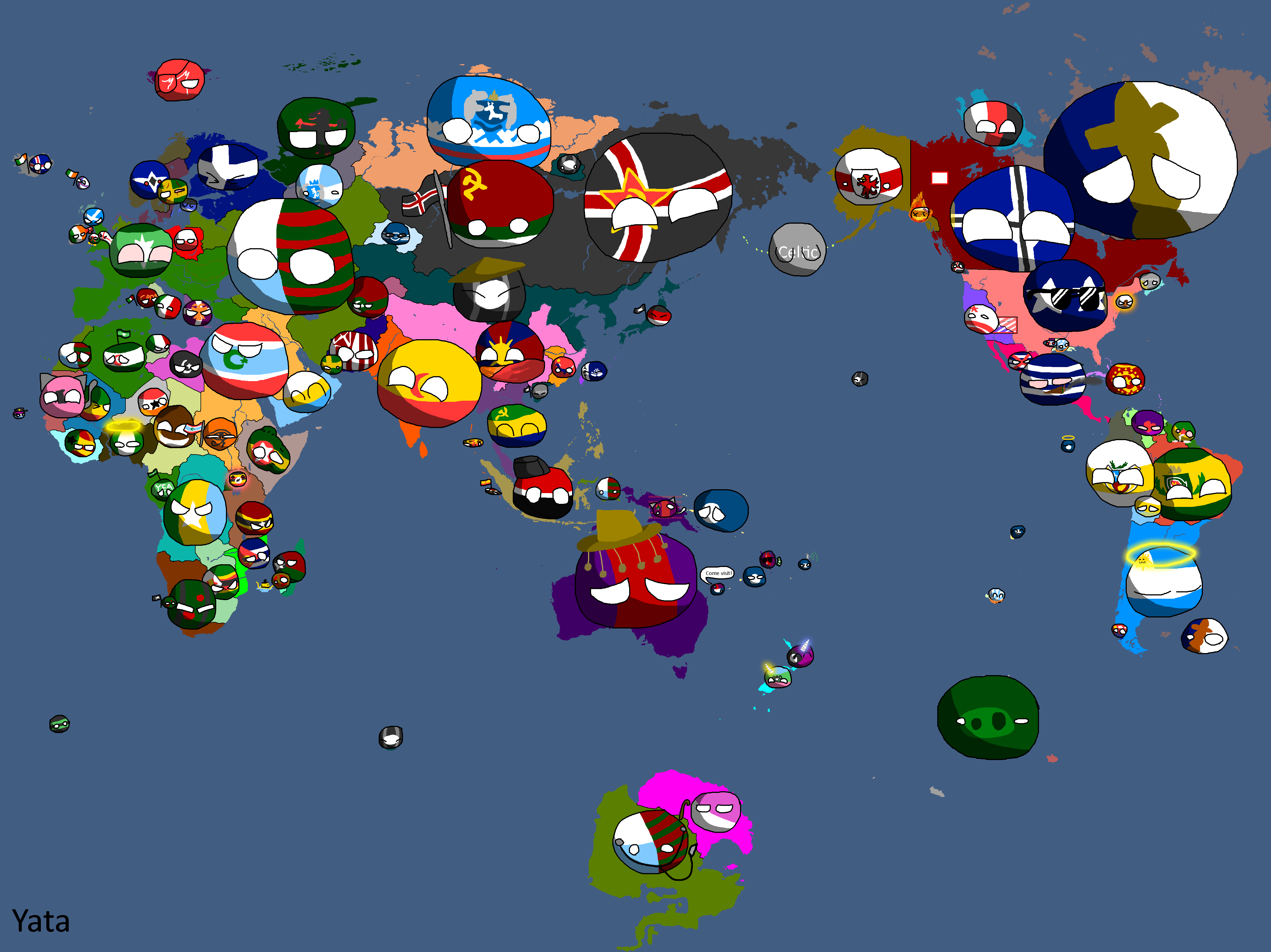
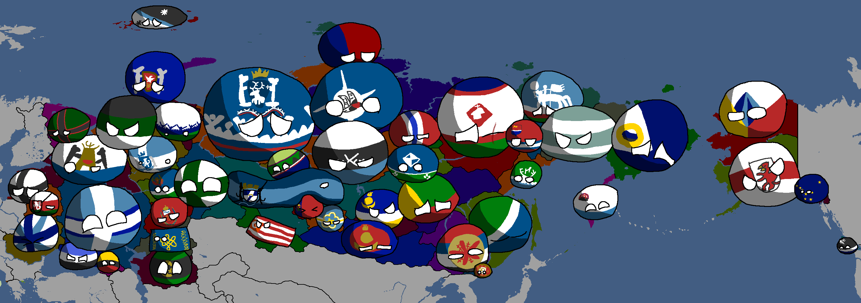
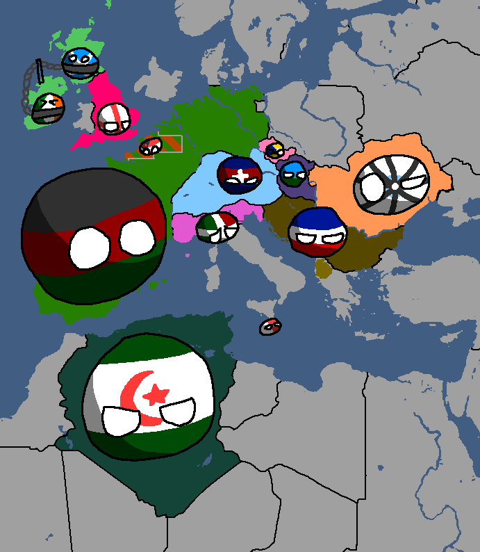
Yata Countryballs Map: Year 117
-
Hypothetical War between the UQSR and Aundzer Alliance: Year 117
-
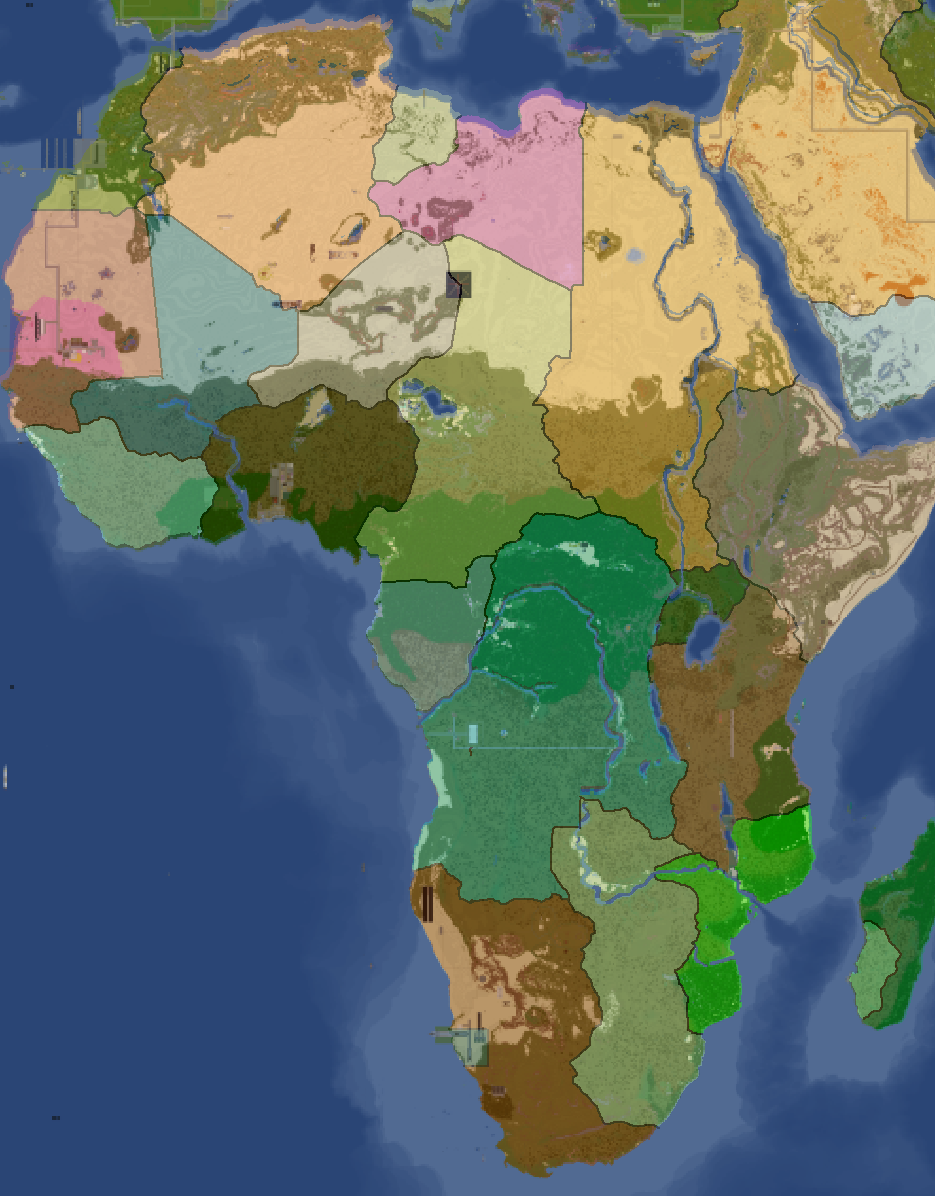
Africa Overlay: Year 117
-
Lineland Overlay: Year 123
-
Nuclear Powers in White: Year 134
-
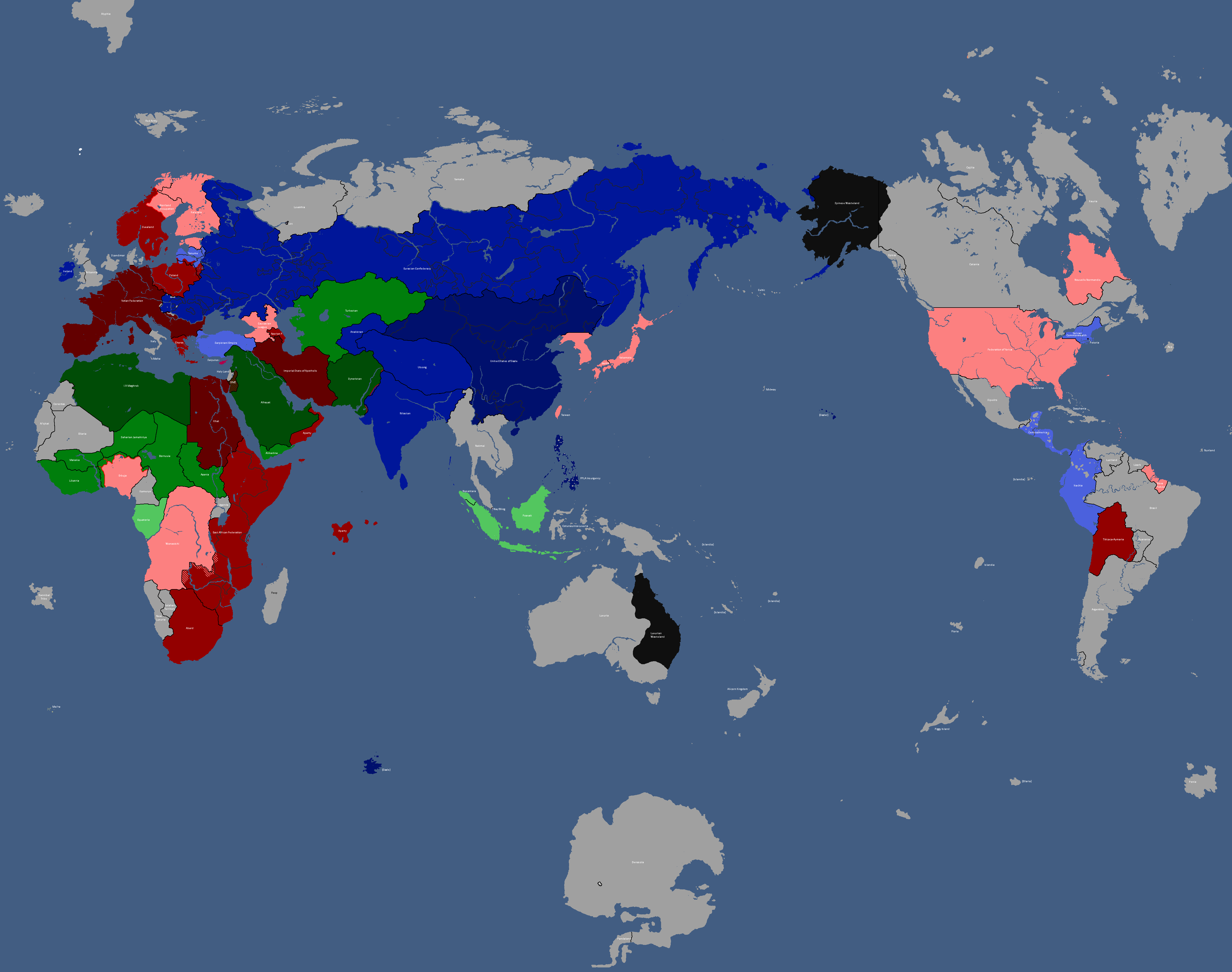
Map of Political Ideologies: Year 147
-
Proposed Map of Continents: Year 153
-
Population Map: Year 166
-
Ideology Map: Year 166
-
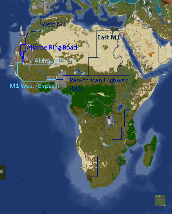
Africa Road Map: Year 168
-
Yatan Cold War: Year 172
-
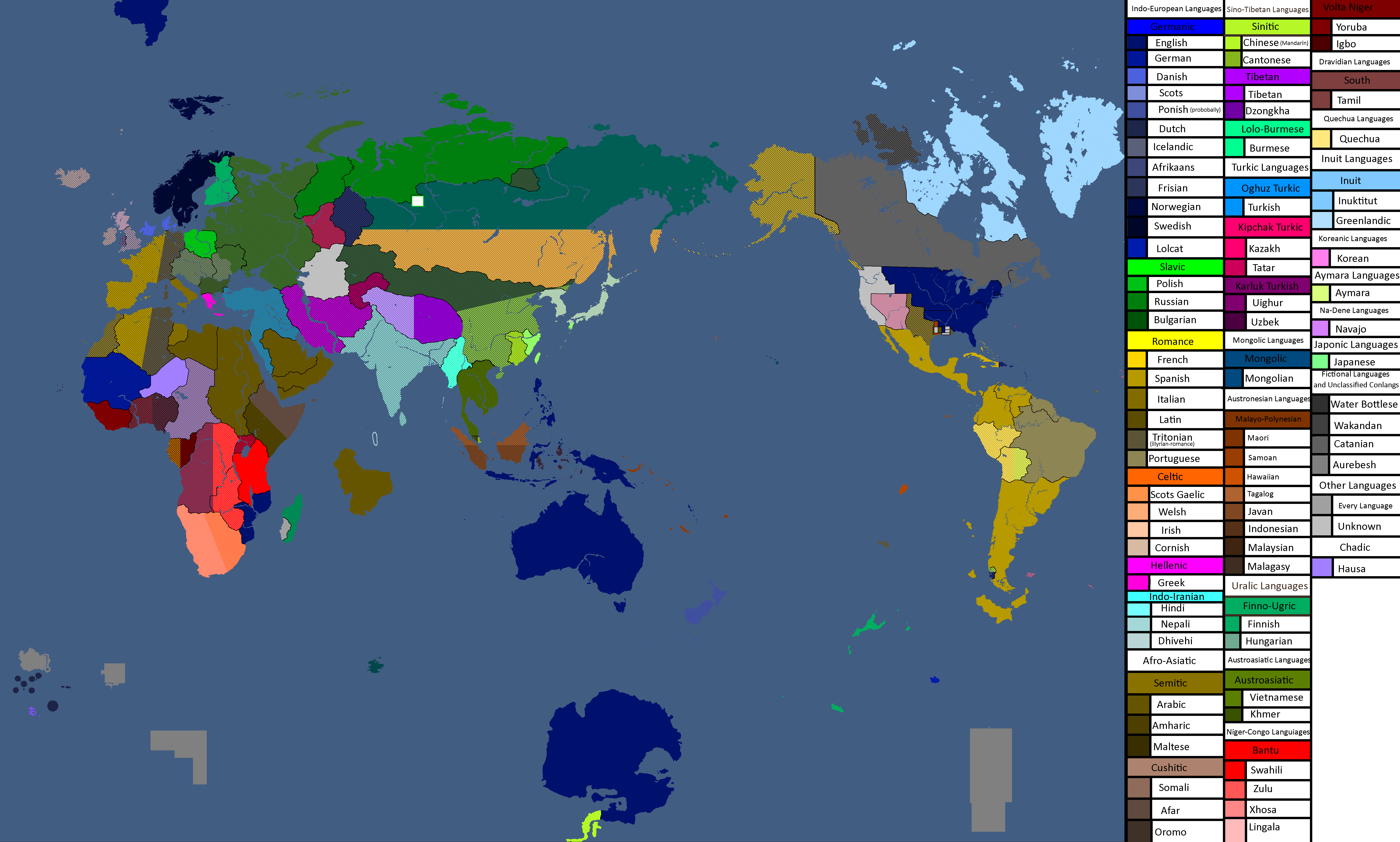
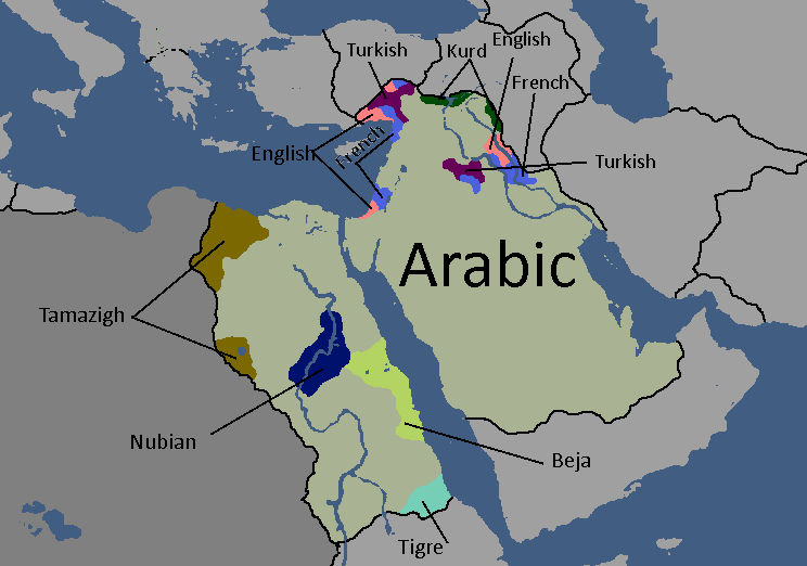
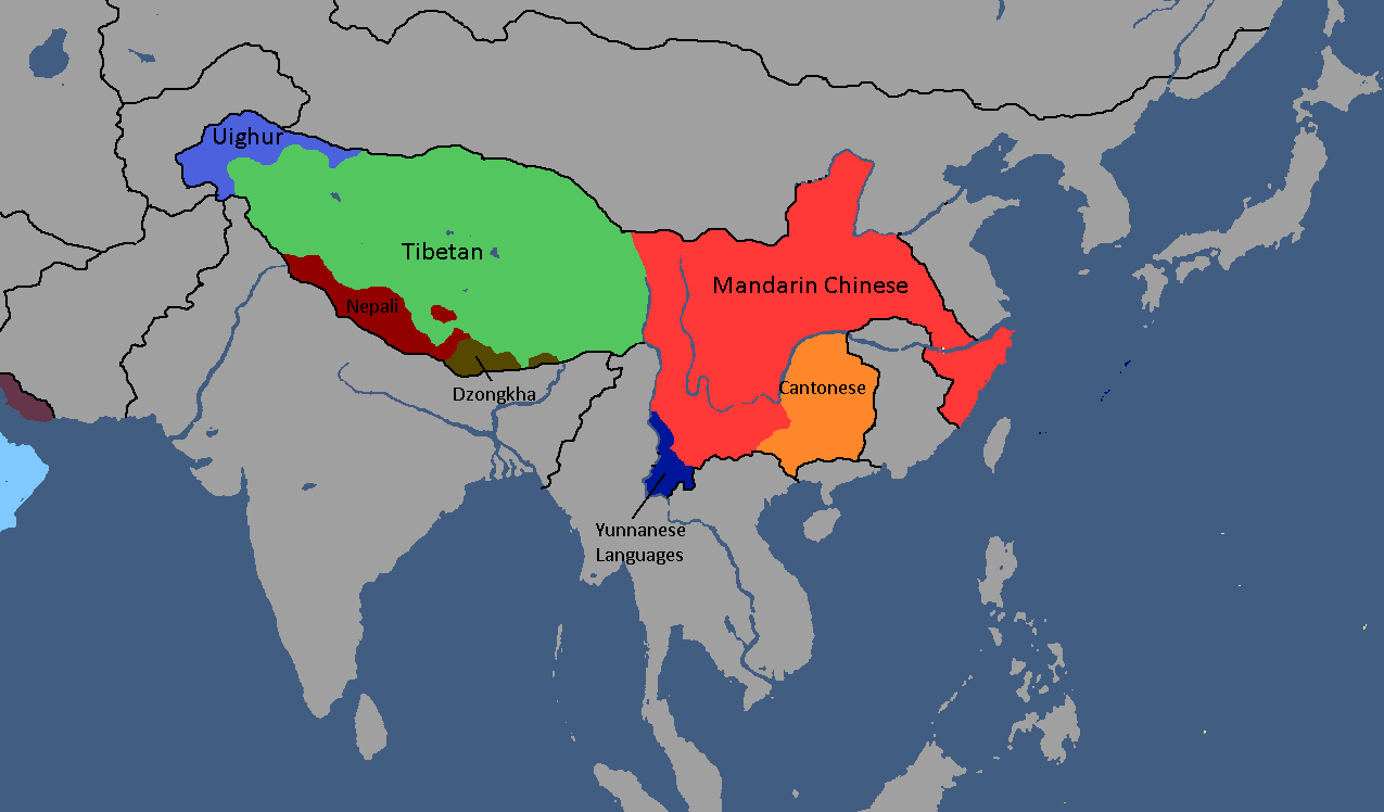
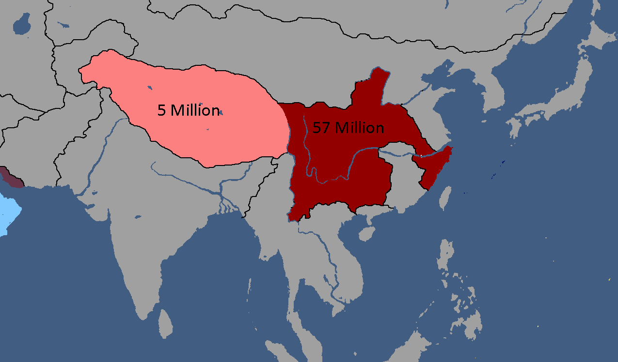
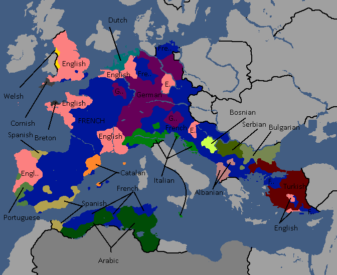
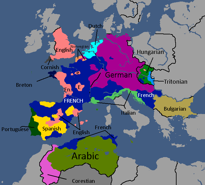
Map of Official Languages: Year 174
-
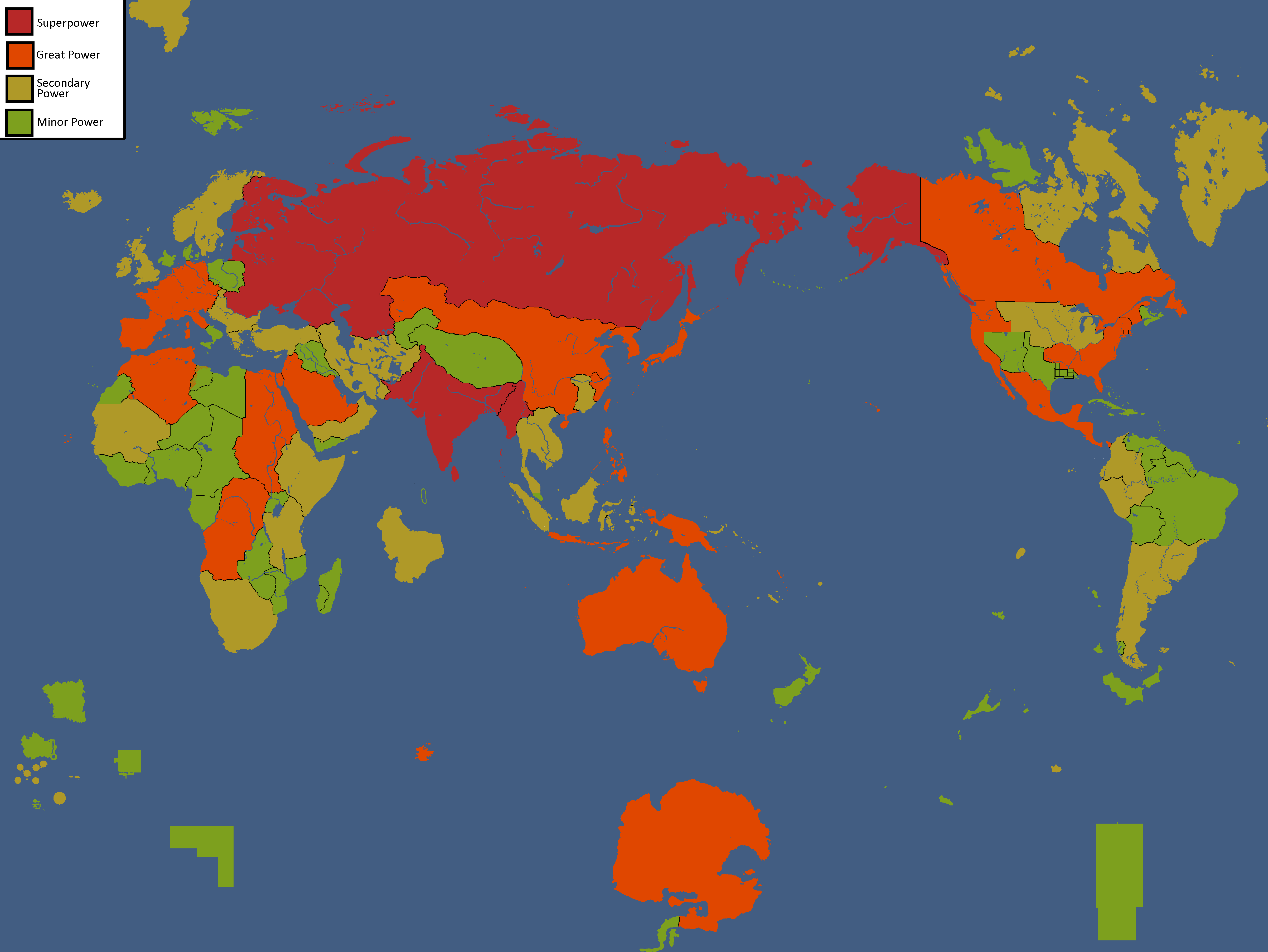
Map of Yata's Power Statuses: Year 180
-
Flag Map: Year 183
-
Ideology Map: Year 183
-
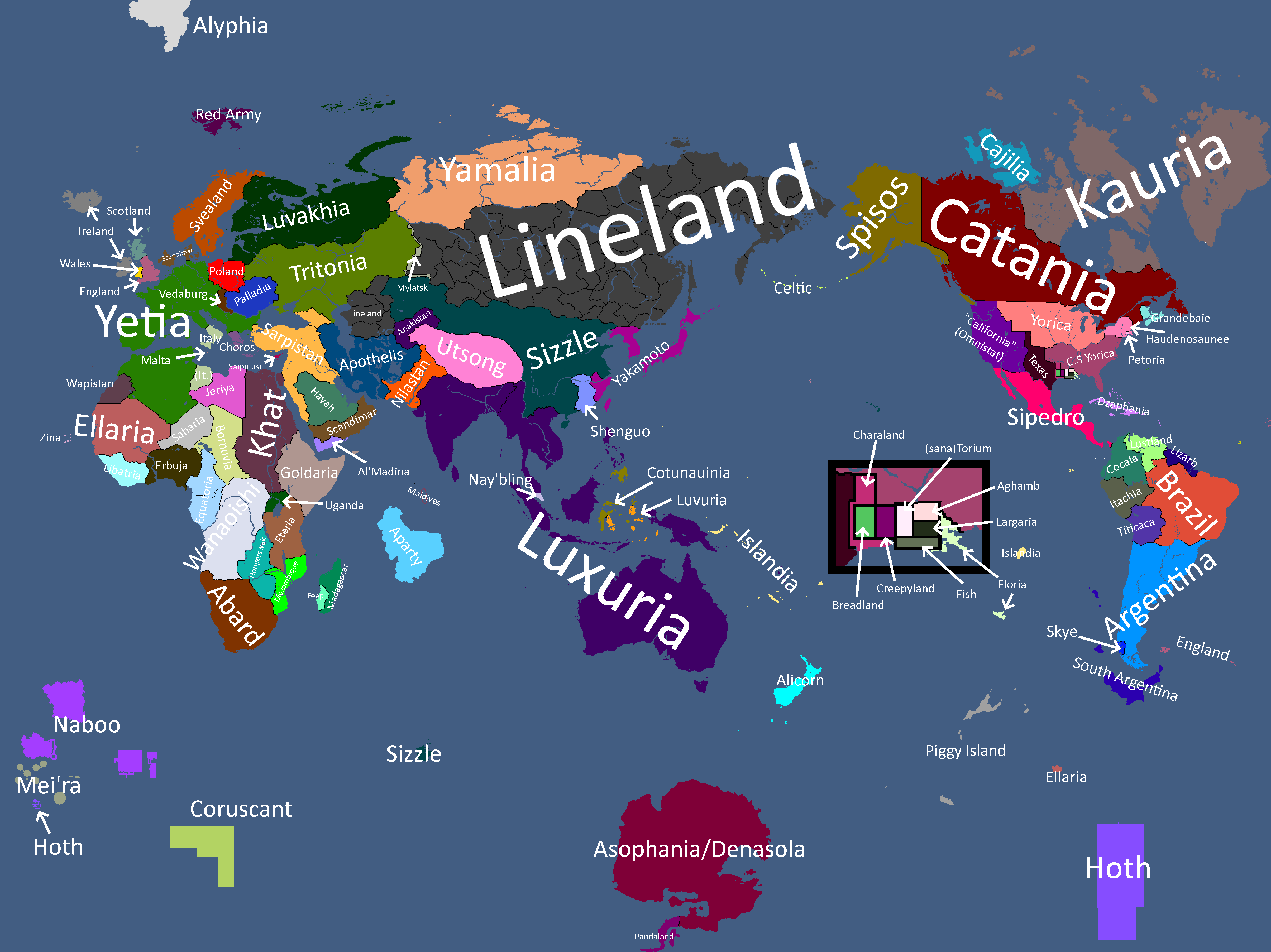
Map with names: Year 186
-
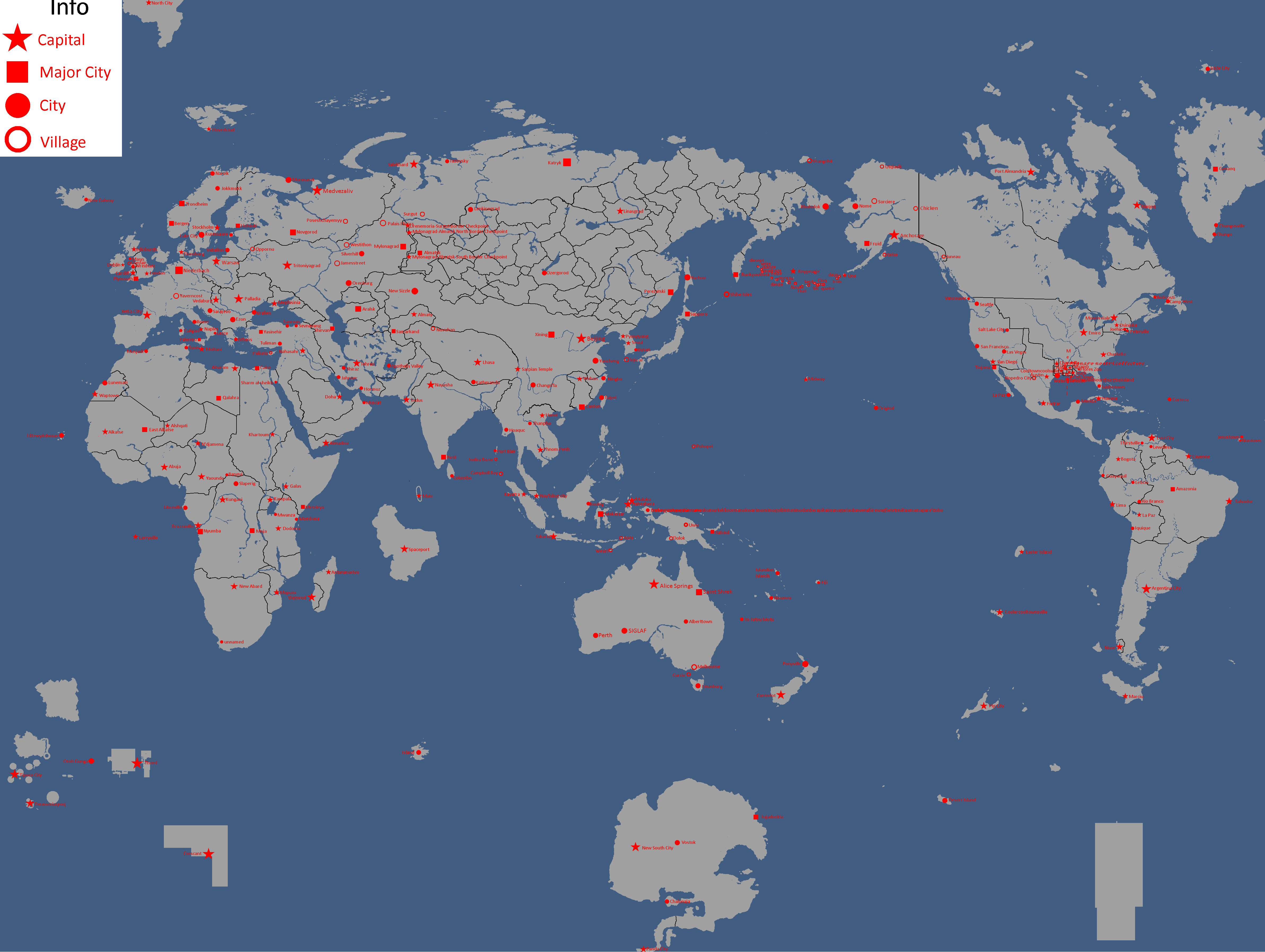
Map of Cities: Year 188
-
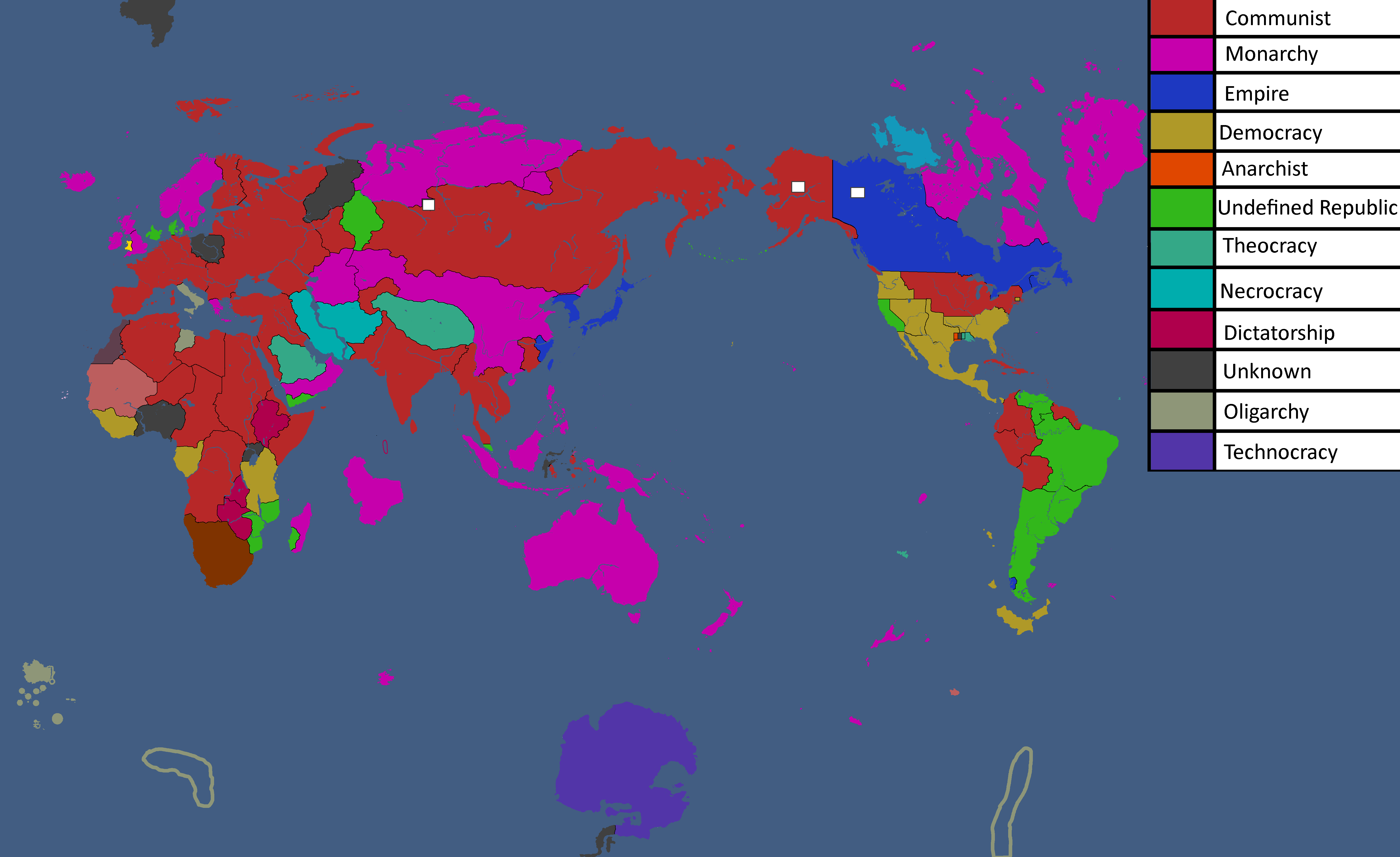
Map of Governments in Exile: Year 193
-
Flag Map: Year 193
-
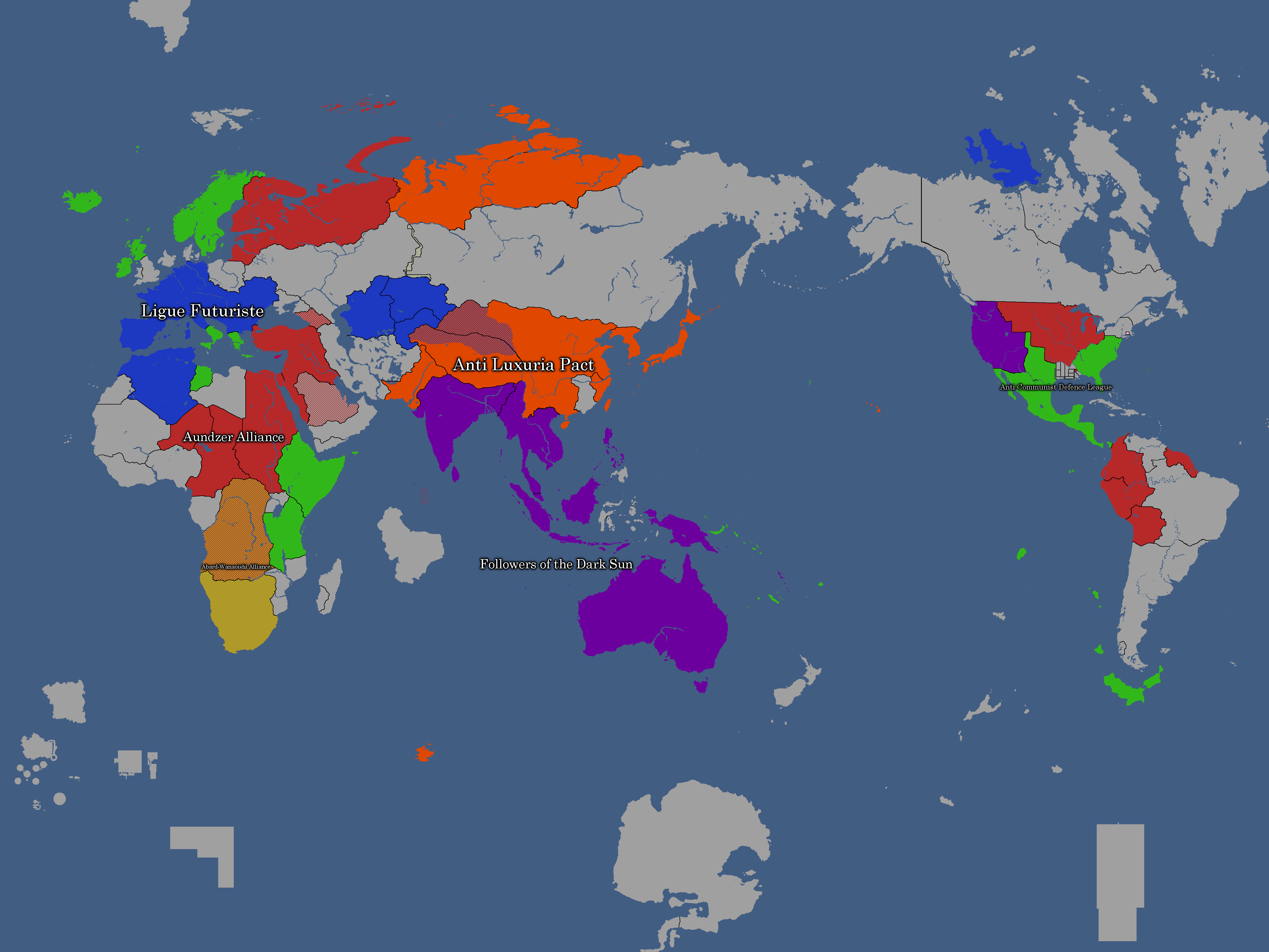
Map of Alliances: Year 195
-
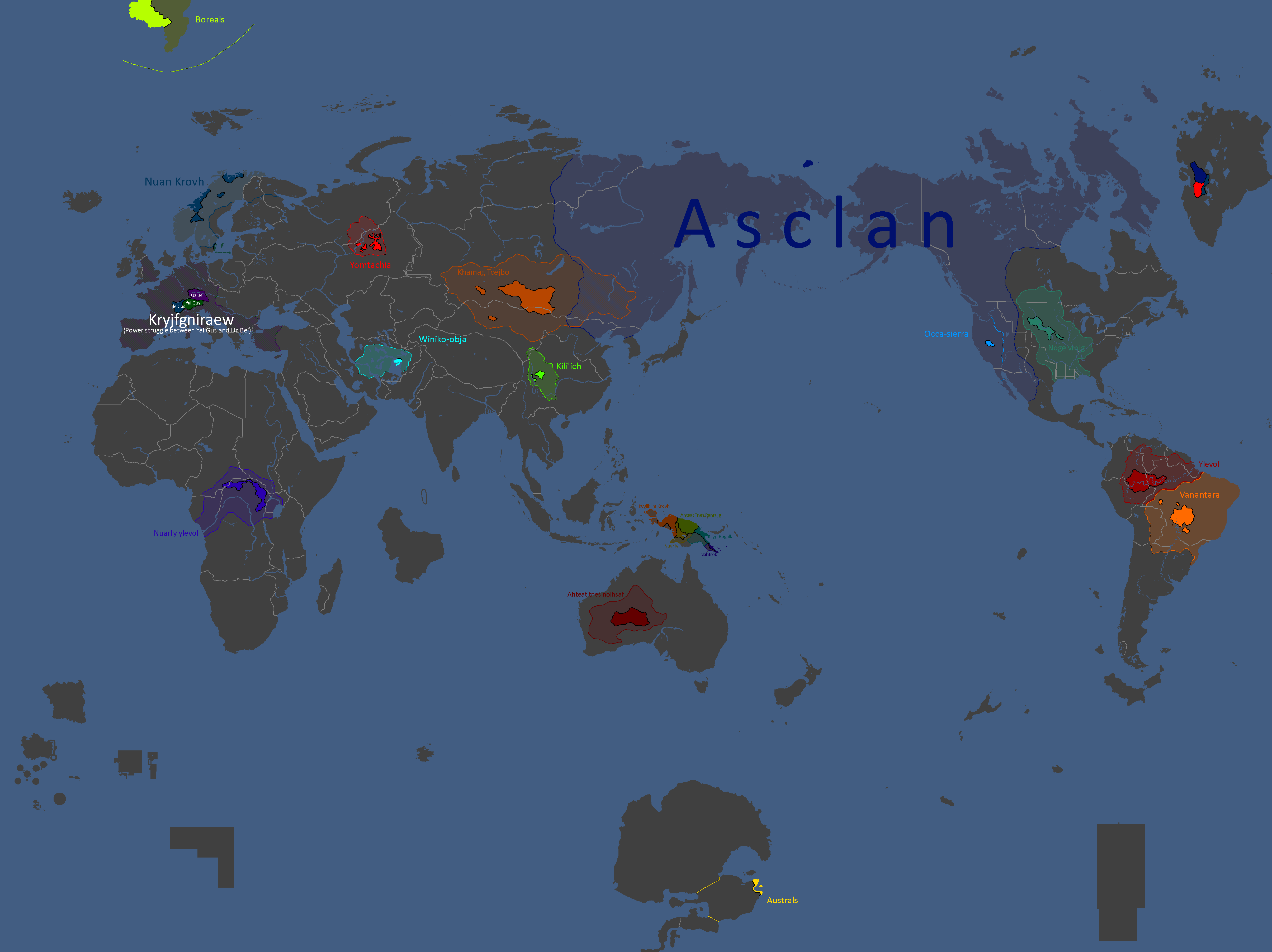
Map of Yomtach Clans: Year 196
-
Map of Ideologies: Year 211
-
Map of Alliances: Year 211 (Baghdad Accordin red, Liberty Pact in blue)
-
Flag Map: Year 217
-
Map with names: Year 227
-
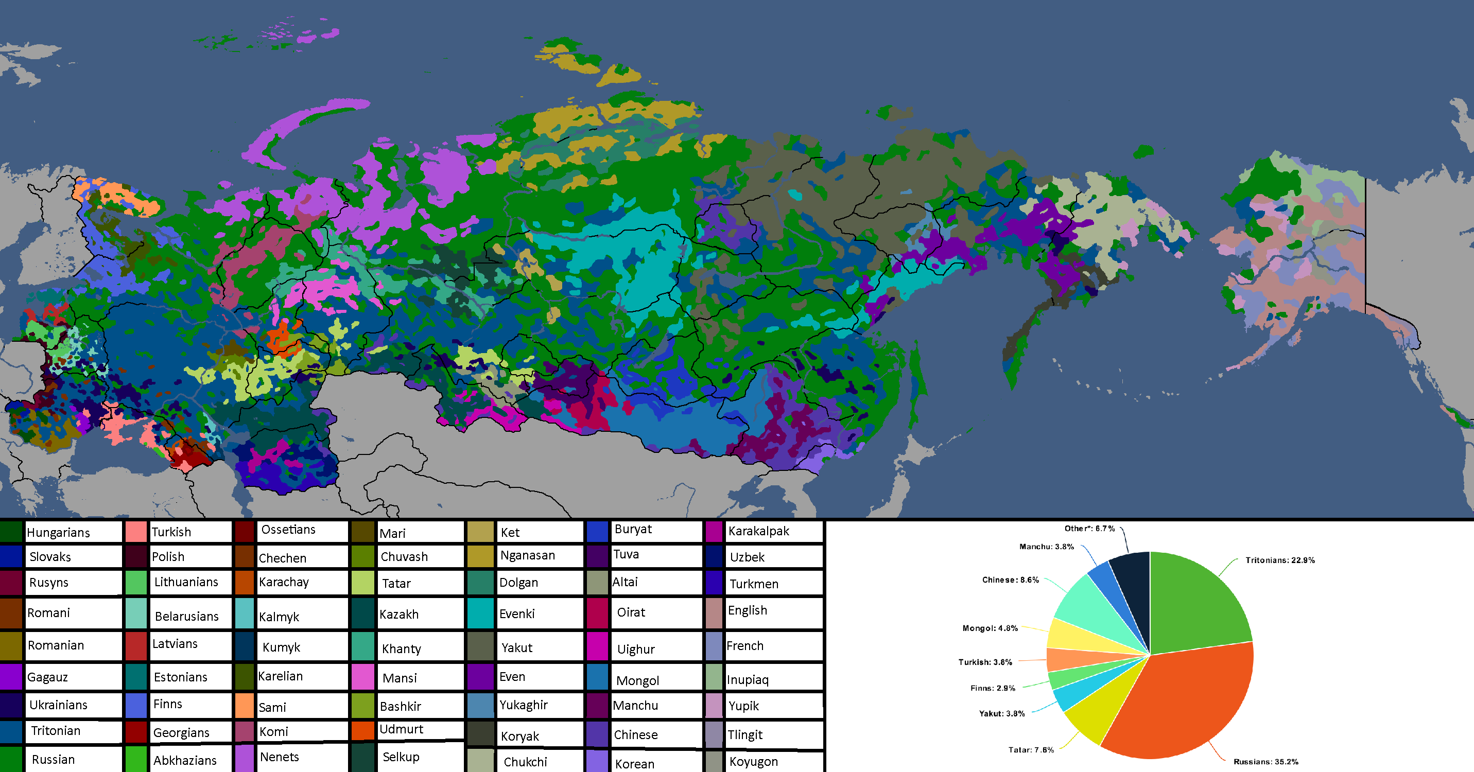
Map of Yatan Cultures: Year 230
-
Ideology Map: Year 247
-
Flag Map: Year 266
-
Human Development Index Map: Year 306
-
Flag Map: Year 311
-
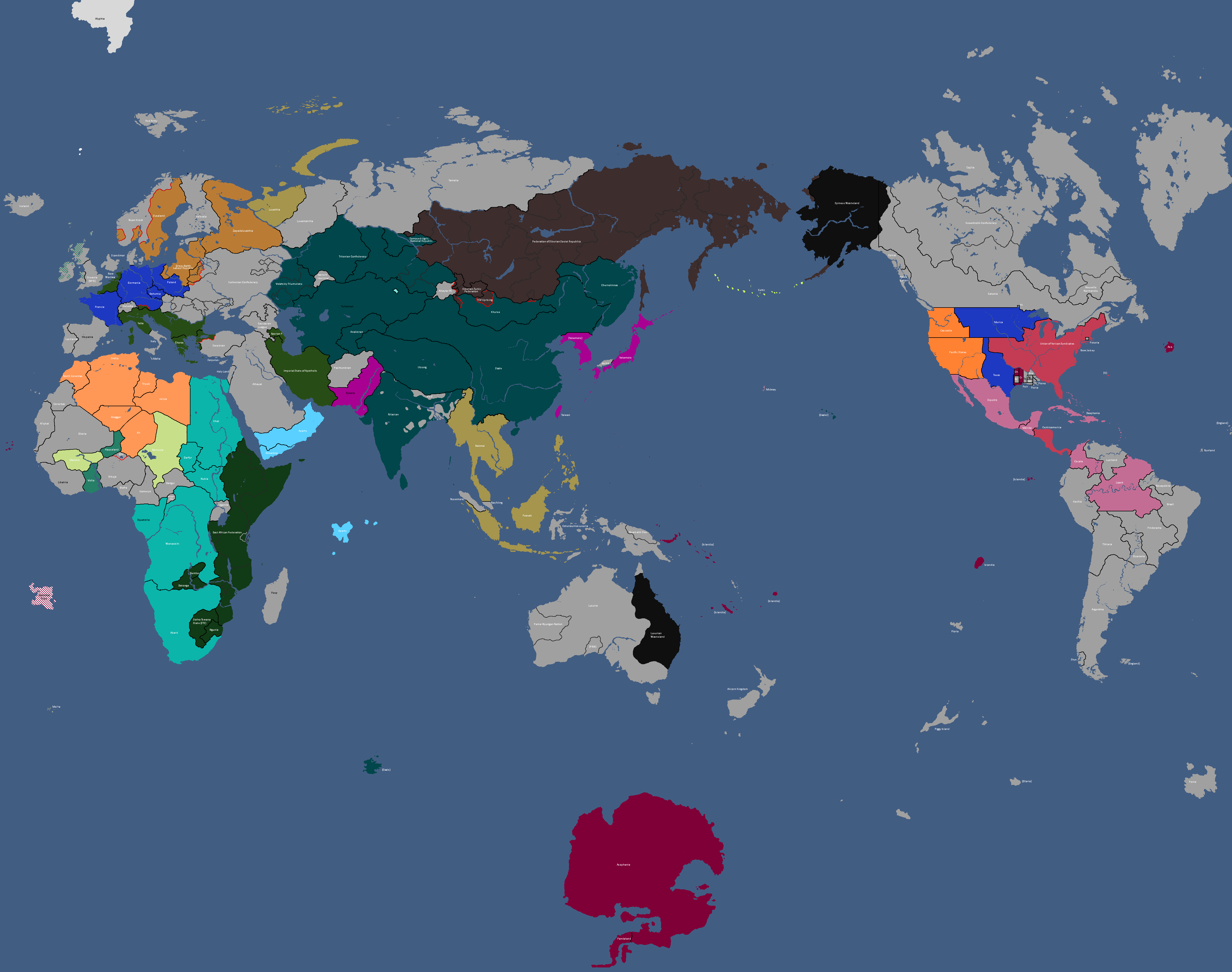
Map of Alliances: Year 315
-
Map of Alliances: Year 315
-
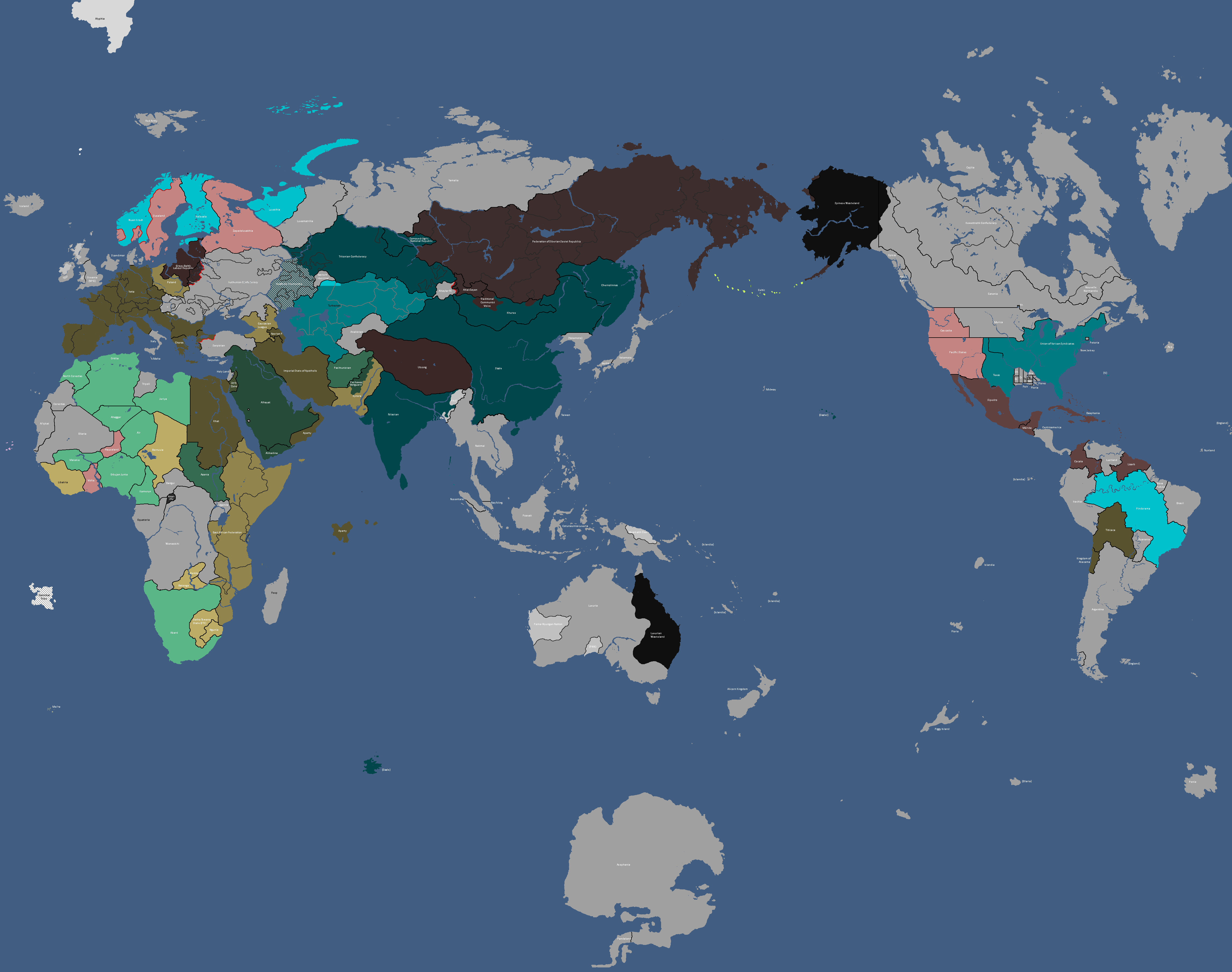
Map of Allied Nations: Year 332
-
Map of the Yatan Cold War: Year 337
-
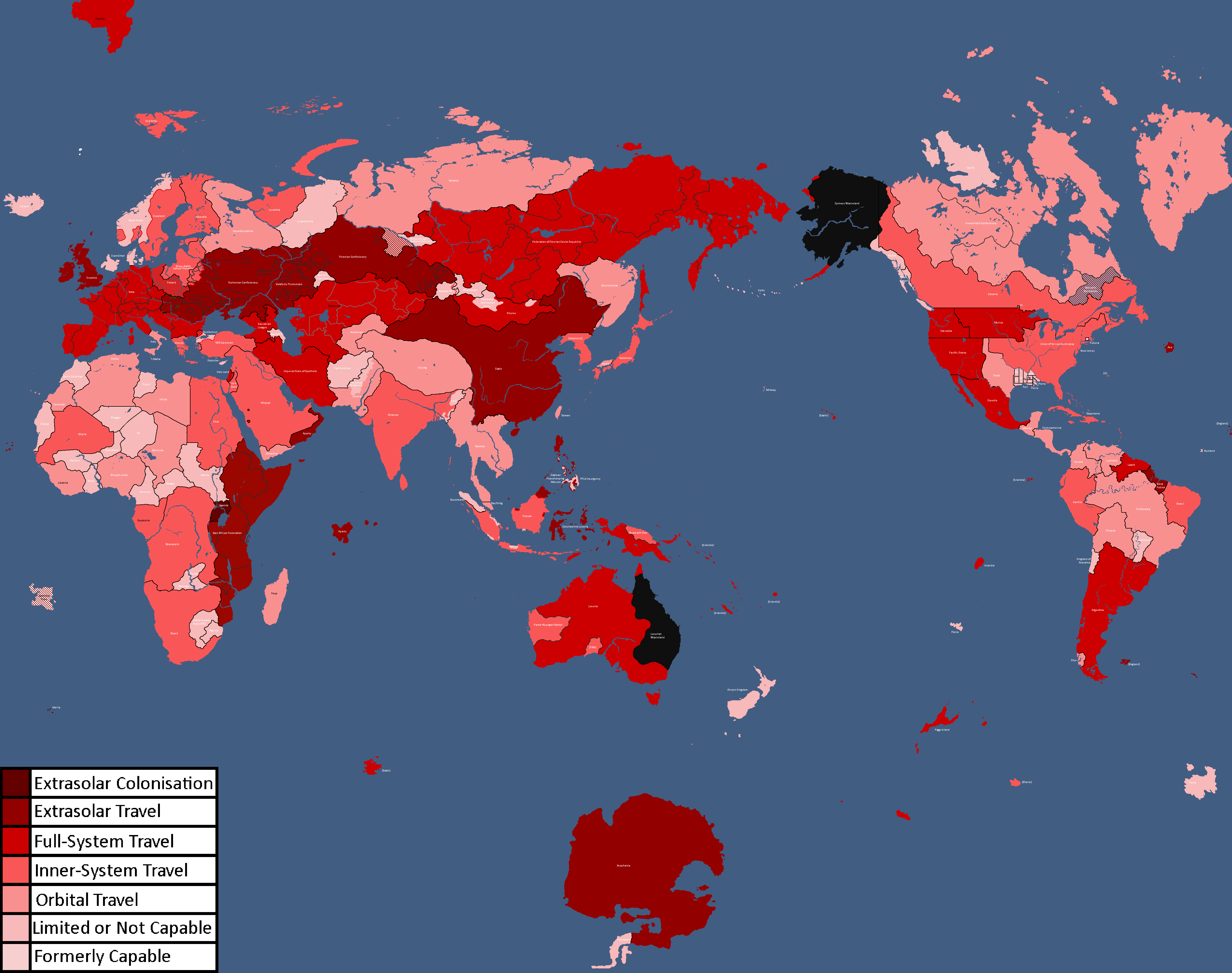
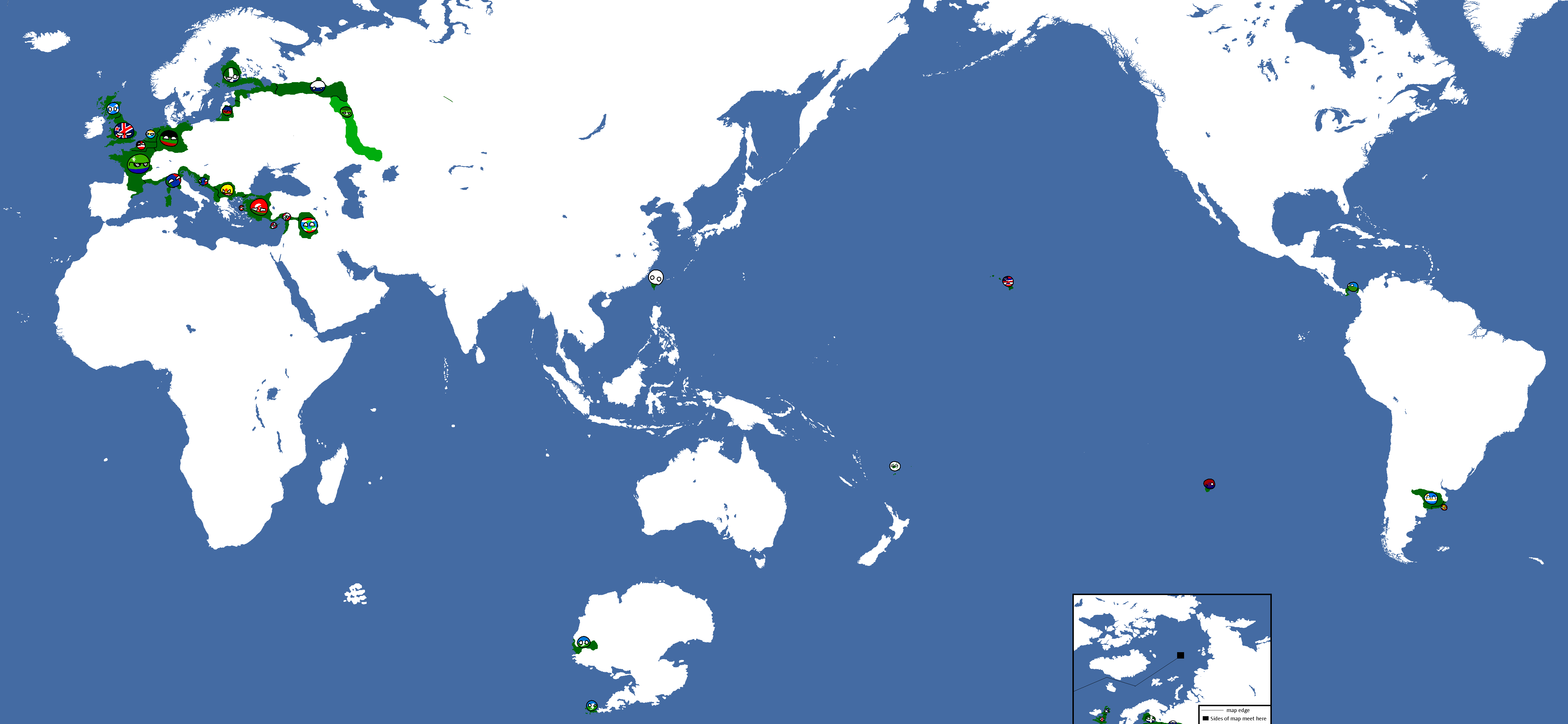
Map of Spacefaring Countries: Year 339
-
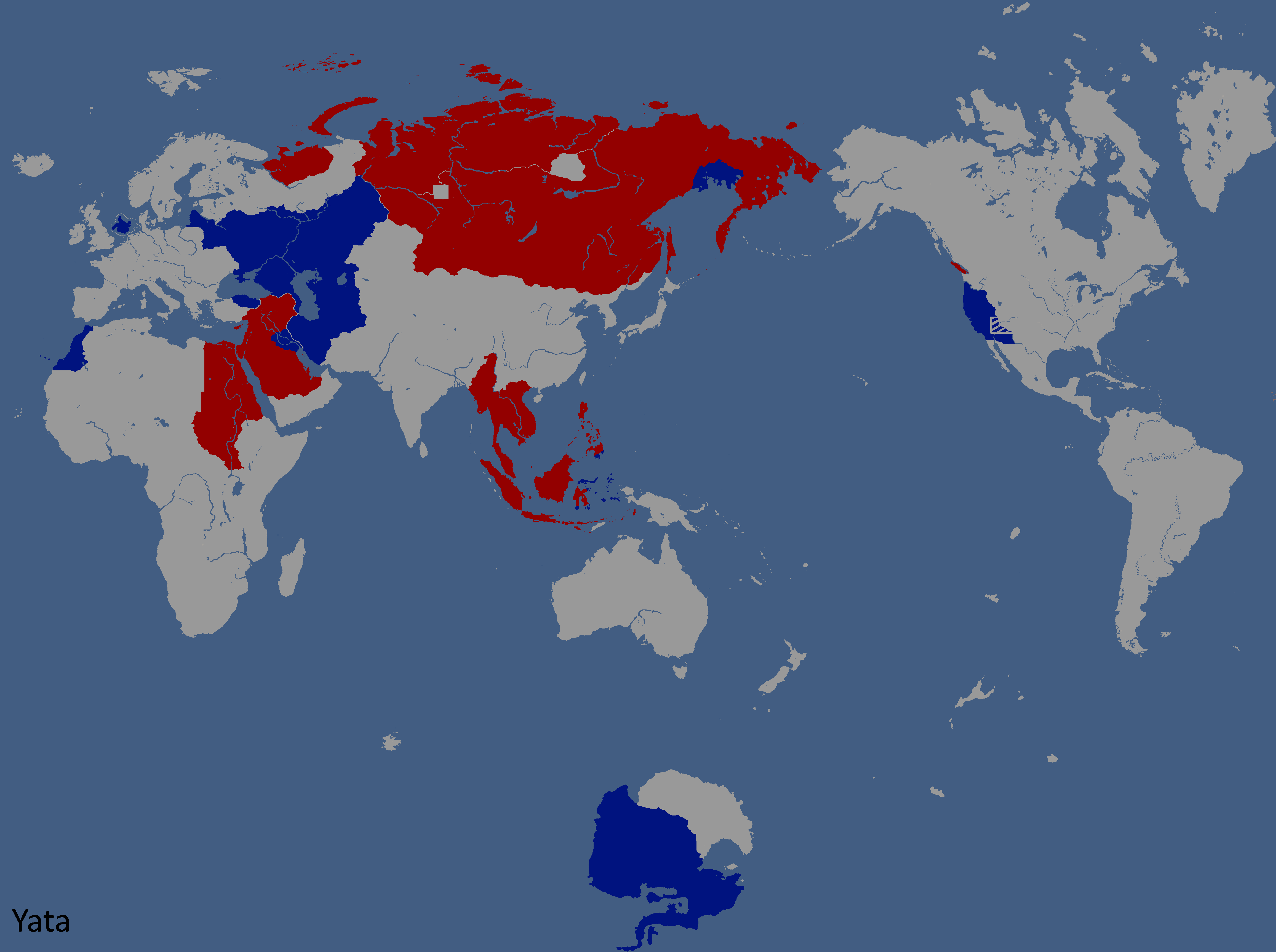
![Map of Democracy[1]: Year 343](/yatawiki/images/6/69/Democracymap.png)
Map of Democracy[1]: Year 343
-
![Monarchy or Republic[2]: Year 347](/yatawiki/images/5/5f/Monarchyrepublic.png)
Monarchy or Republic[2]: Year 347
-
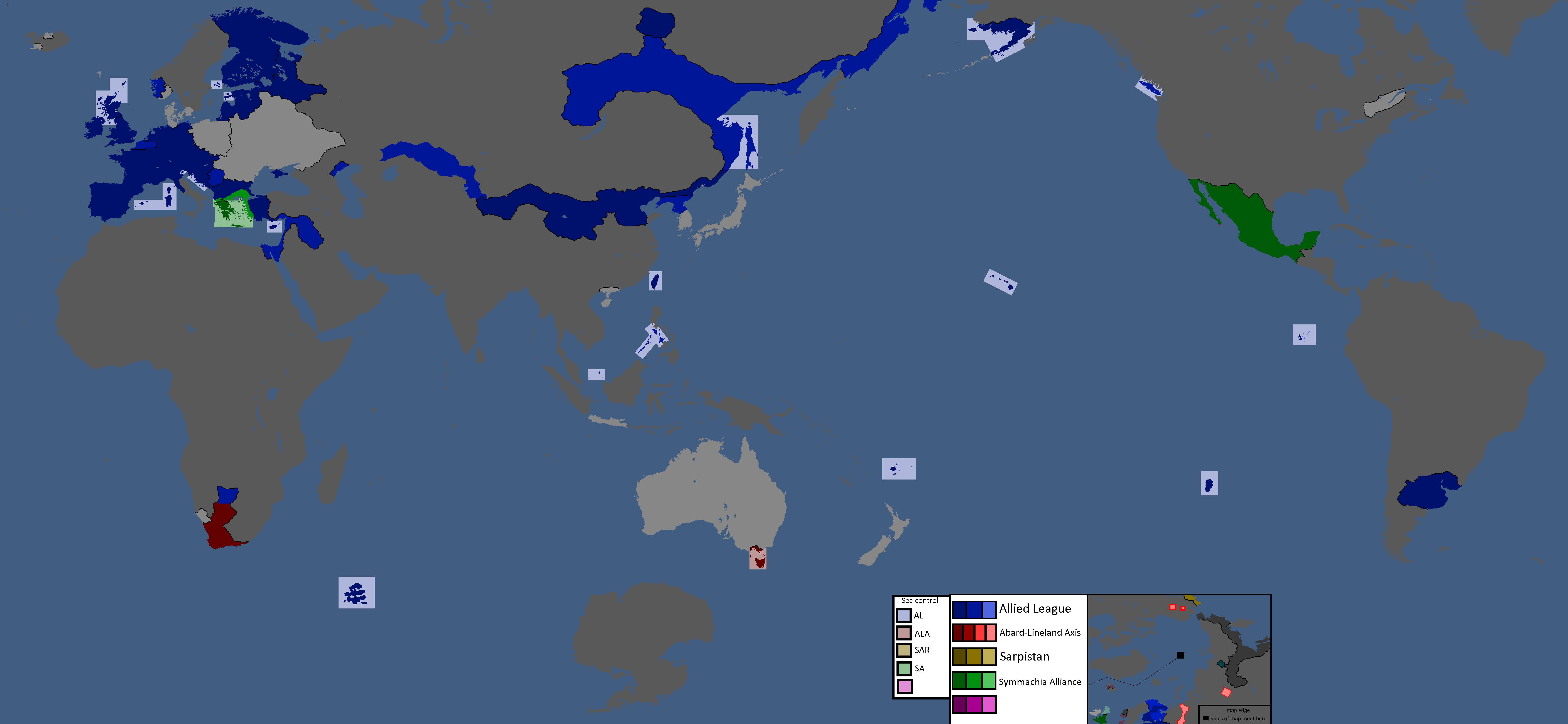
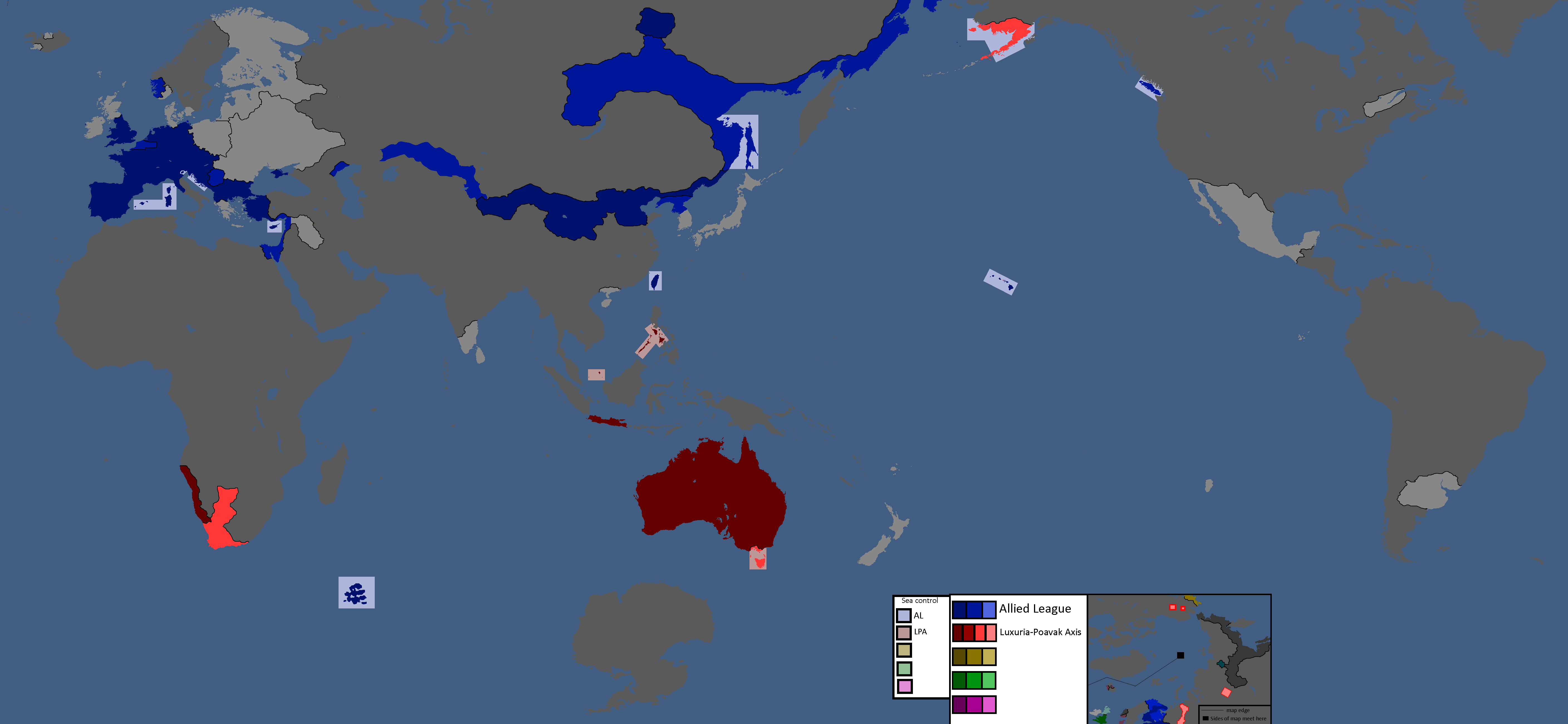
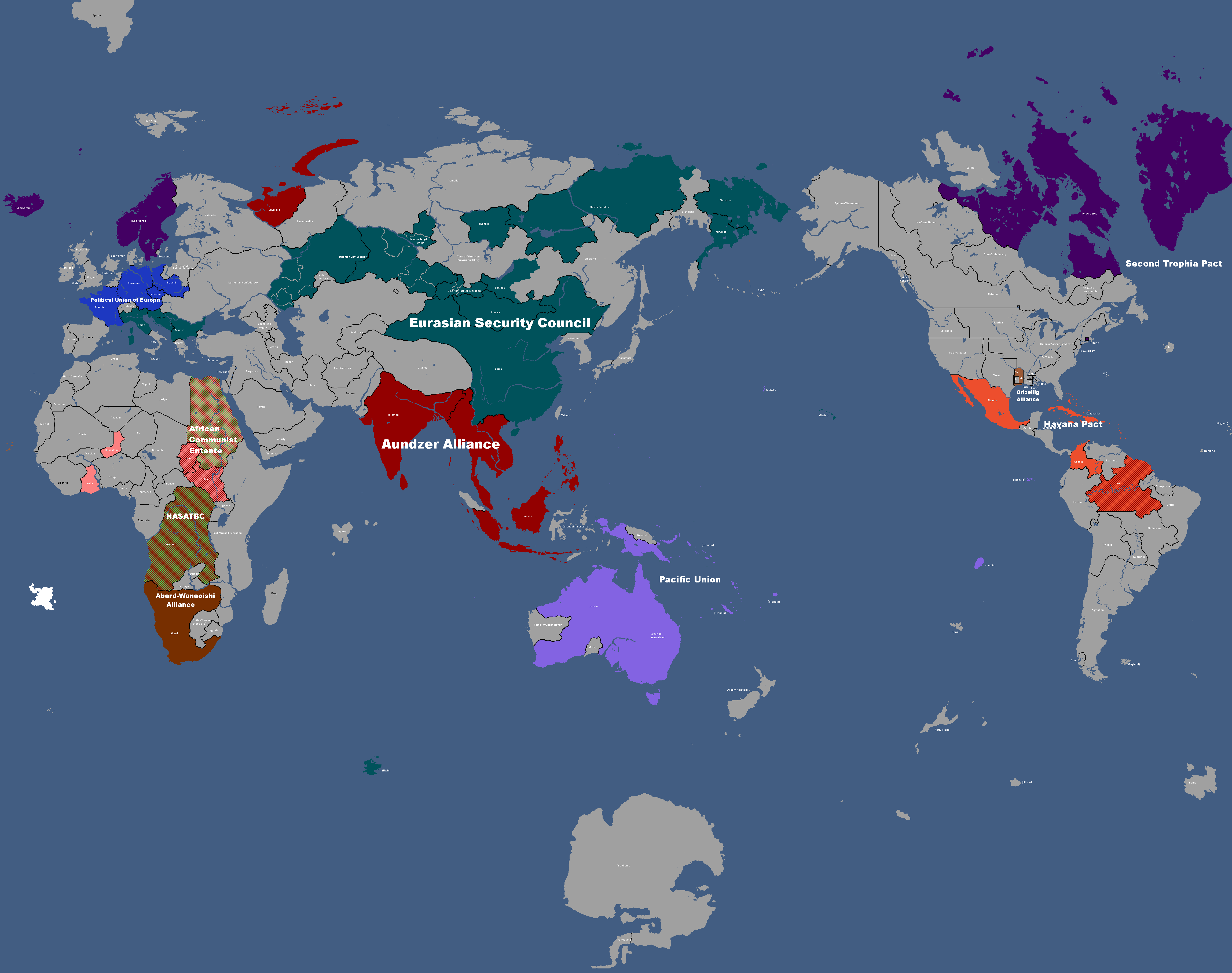
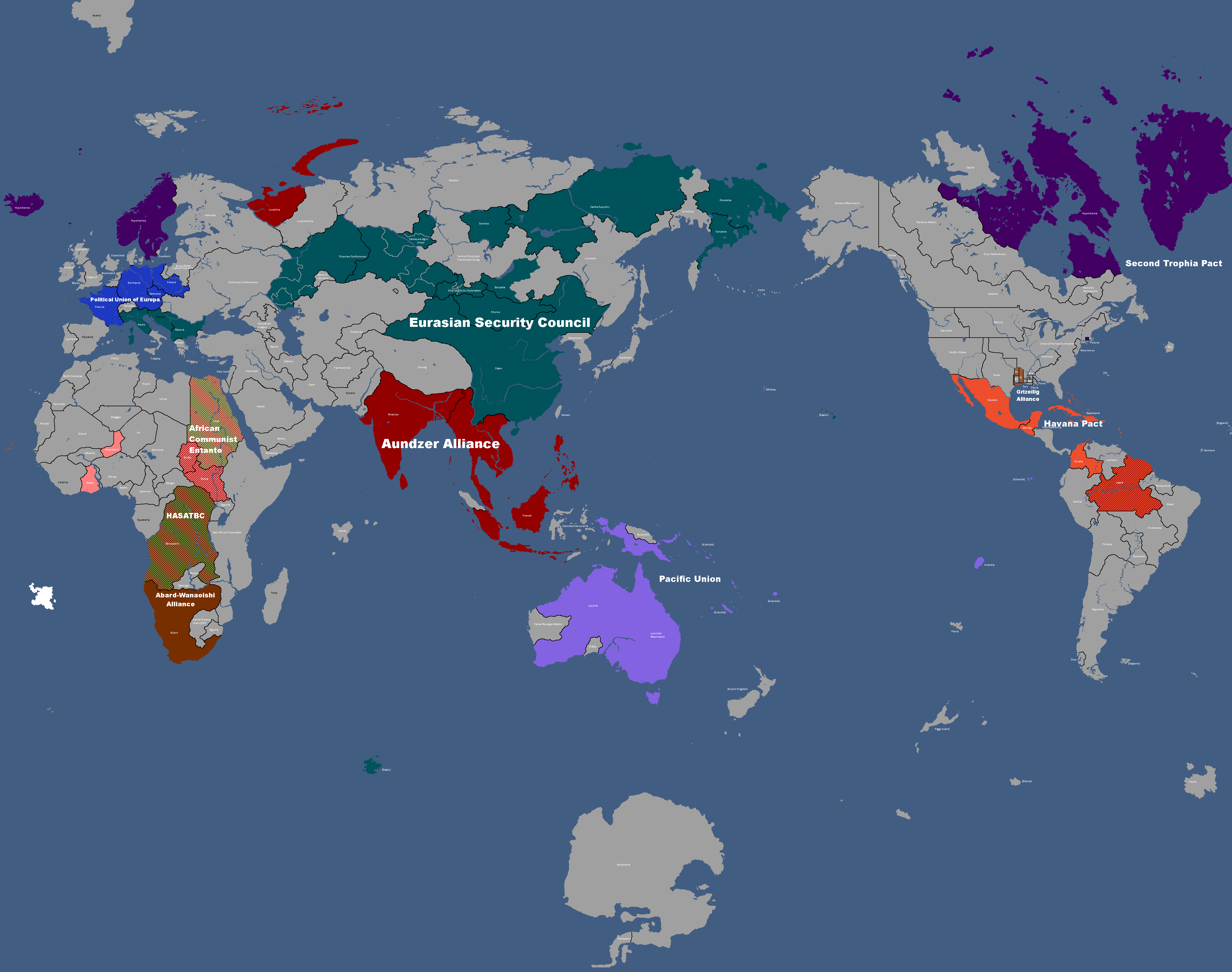
Map of Major Alliances: Year 348
-
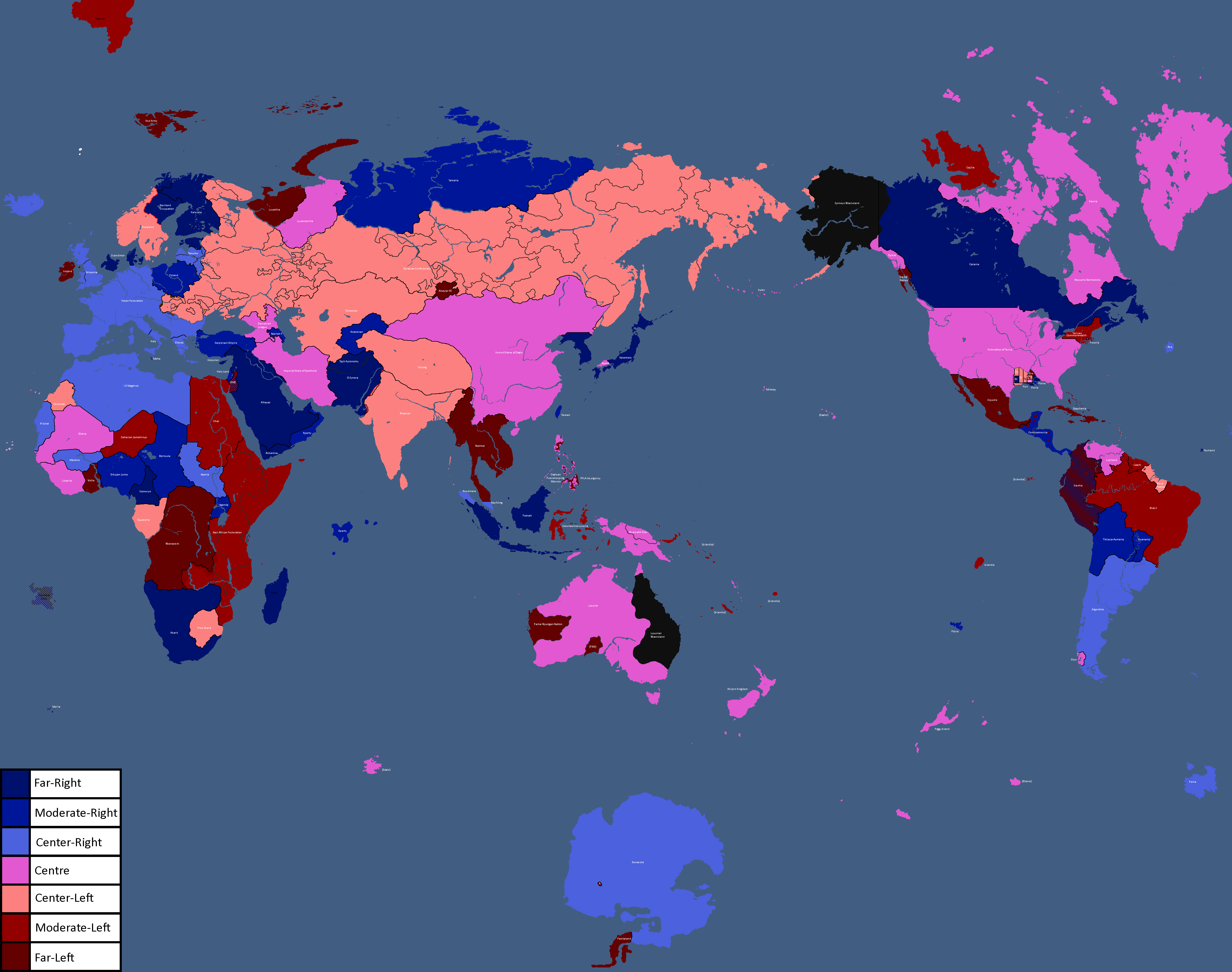
Map of Ideologies: Year 354
-
Map of the Yatan Cold War: Year 358
-
![Map of Religions[3]: Year 362](/yatawiki/images/1/15/Religionmap.png)
Map of Religions[3]: Year 362
-
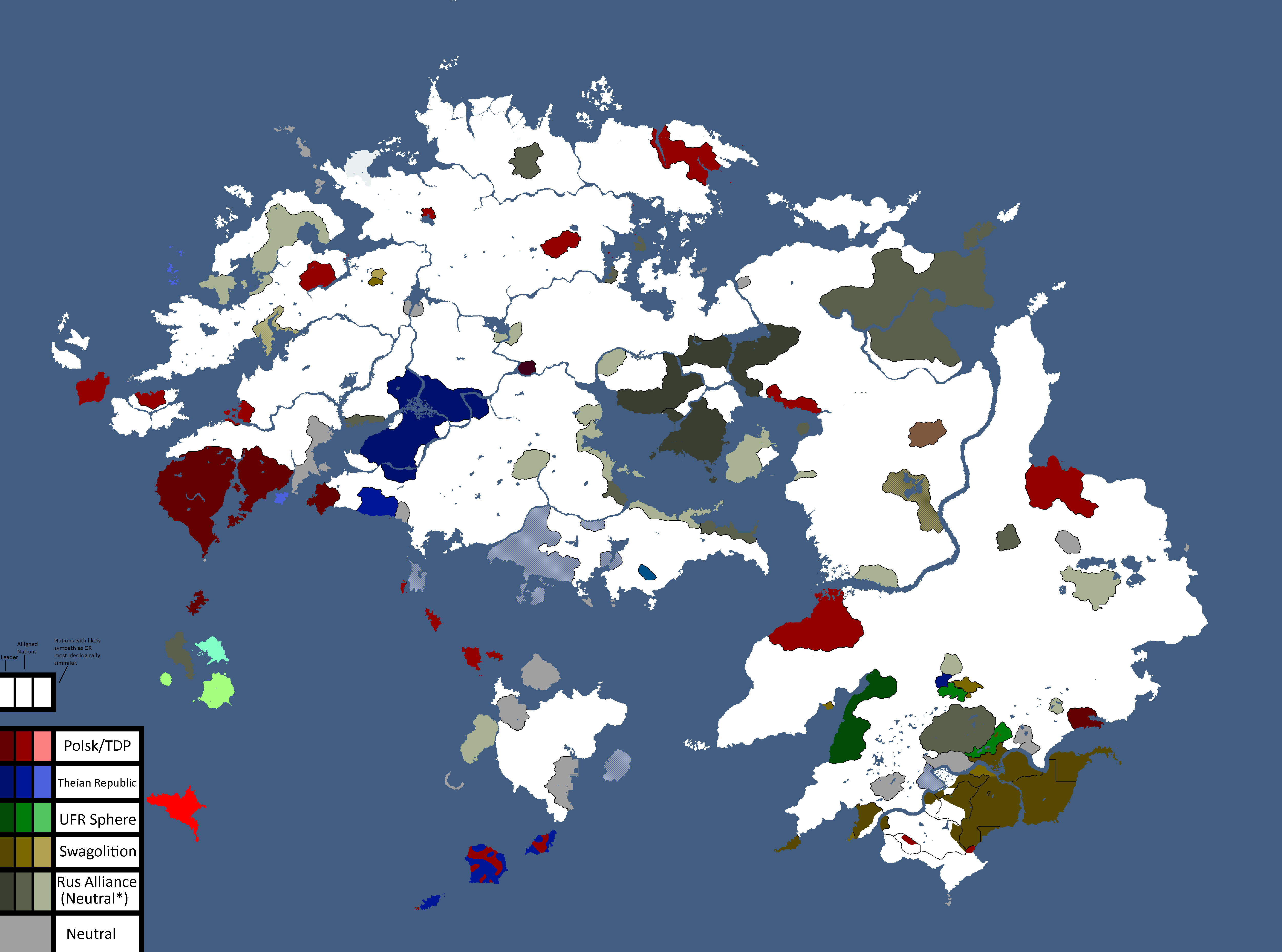
Other nations opinions of the CIS/Polsk: Year 367
-
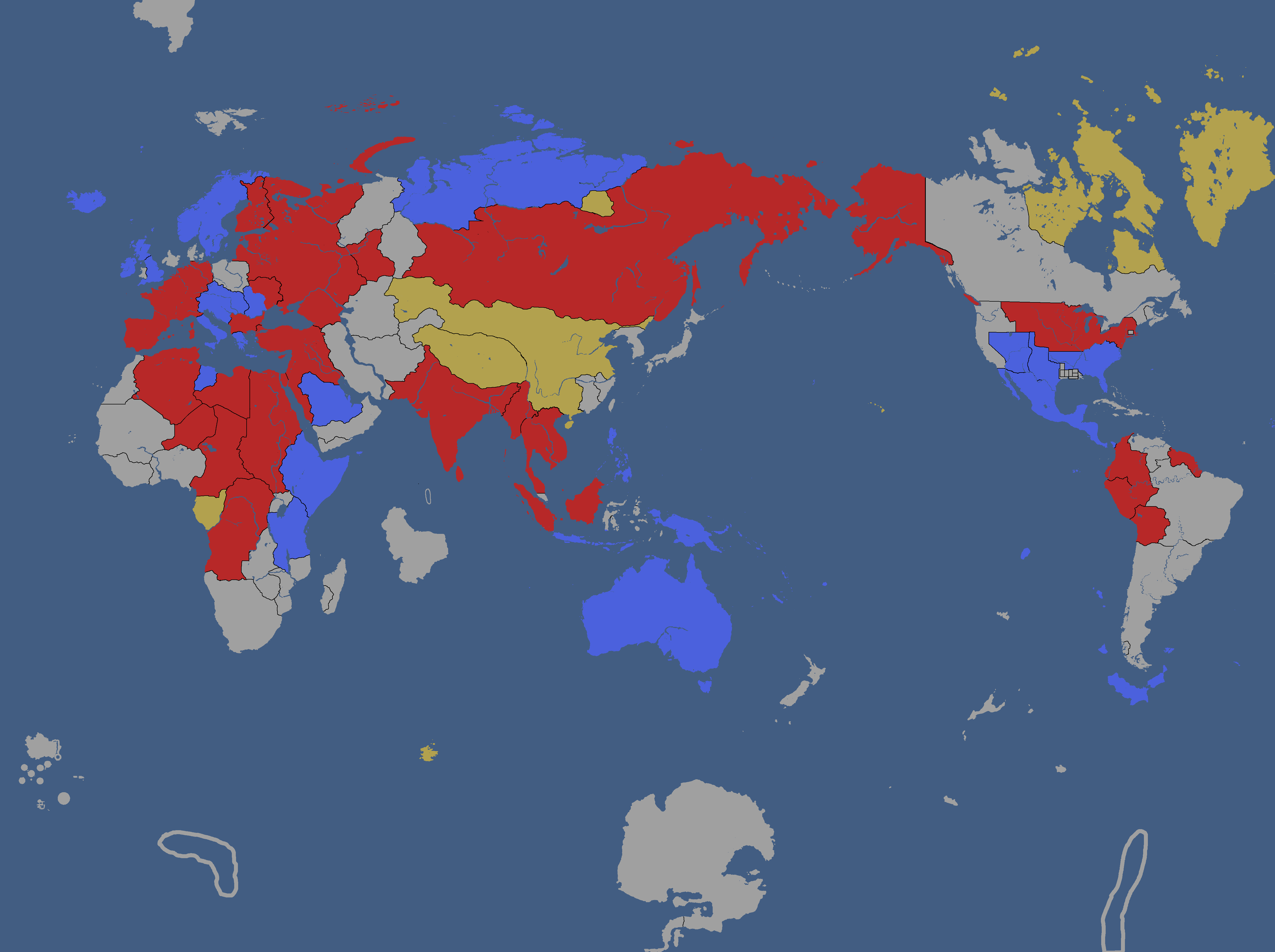
![Map of Nuclear Powers[4]: Year 367](/yatawiki/images/1/10/Nuclearpowers.png)
Map of Nuclear Powers[4]: Year 367
-
![Map of the Yatan Cold War[5]: Year 371](/yatawiki/images/d/d8/Yatancoldwar.png)
Map of the Yatan Cold War[5]: Year 371
-
![Map of World Power Statuses[6]: Year 371](/yatawiki/images/c/c1/Powersmap.png)
Map of World Power Statuses[6]: Year 371
-
![Development Map[7]: Year 372](/yatawiki/images/2/21/Developmentmap.png)
Development Map[7]: Year 372
-
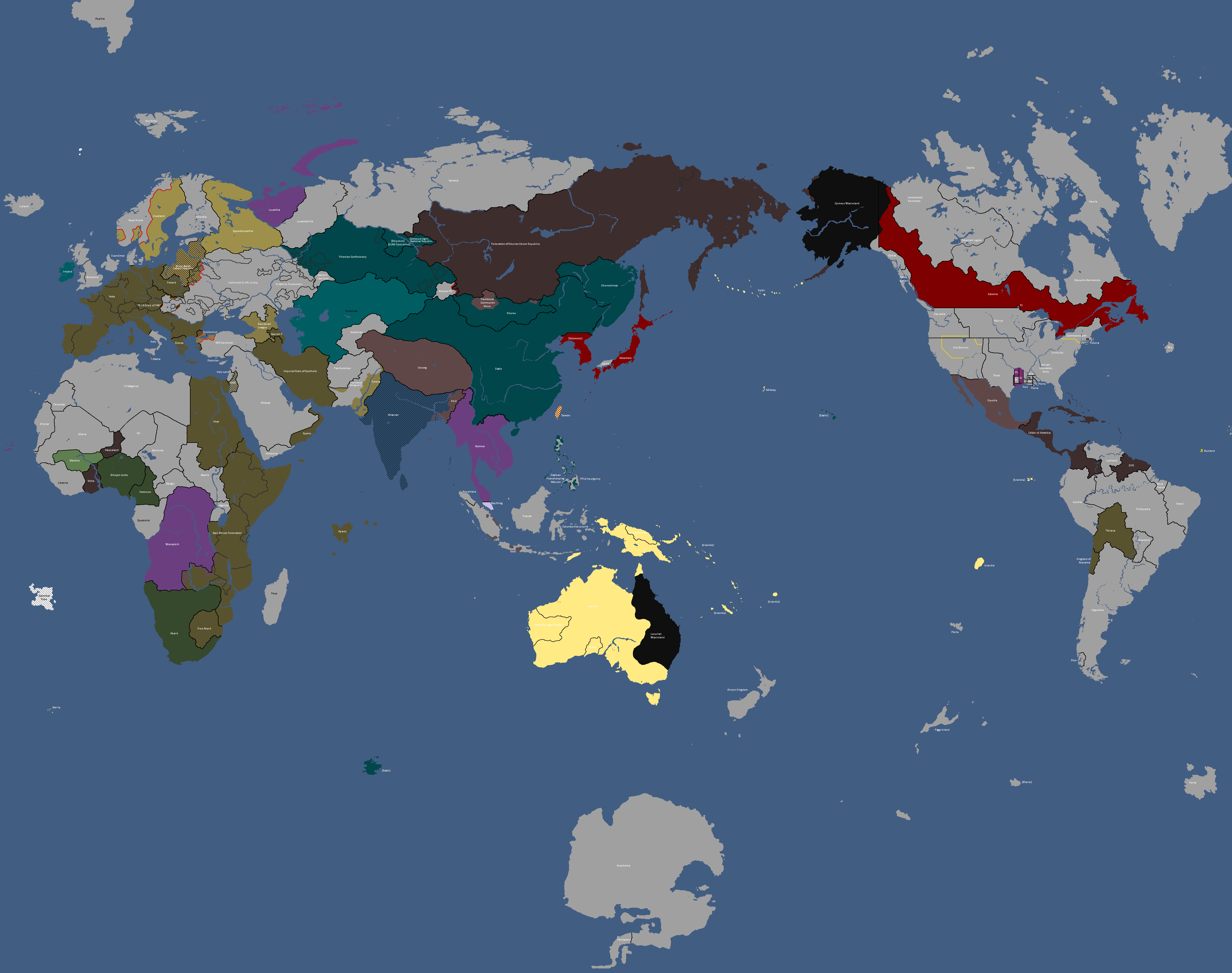
Map of Ideologies: Year 372
-
![Democracy Map[8]: Year 372](/yatawiki/images/6/6c/Democracymap3.png)
Democracy Map[8]: Year 372
-
Other nations opinions of the CIS: Year 372
-
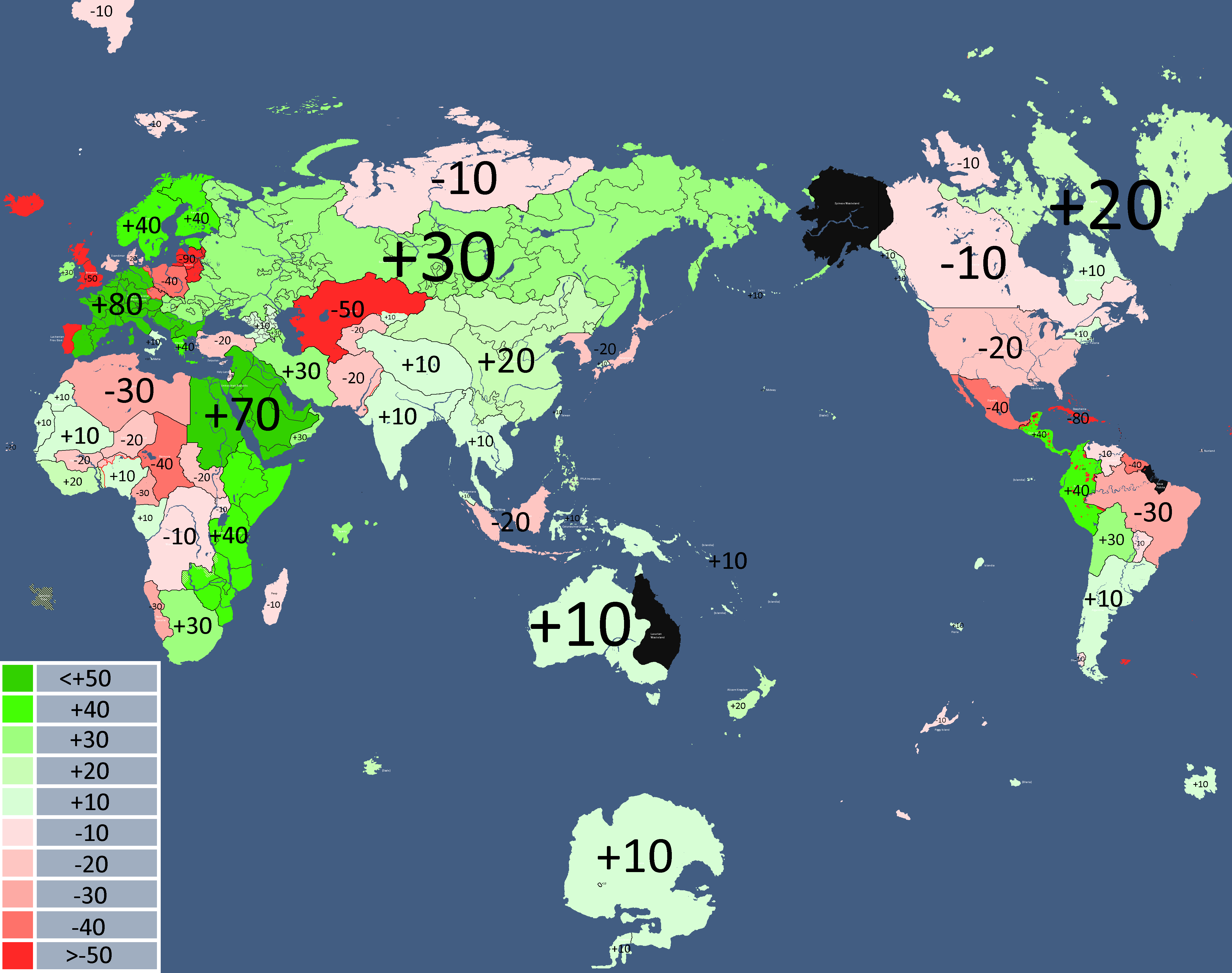
![Map of Economic Structure[9]: Year 373](/yatawiki/images/6/64/Economymap.png)
Map of Economic Structure[9]: Year 373
-
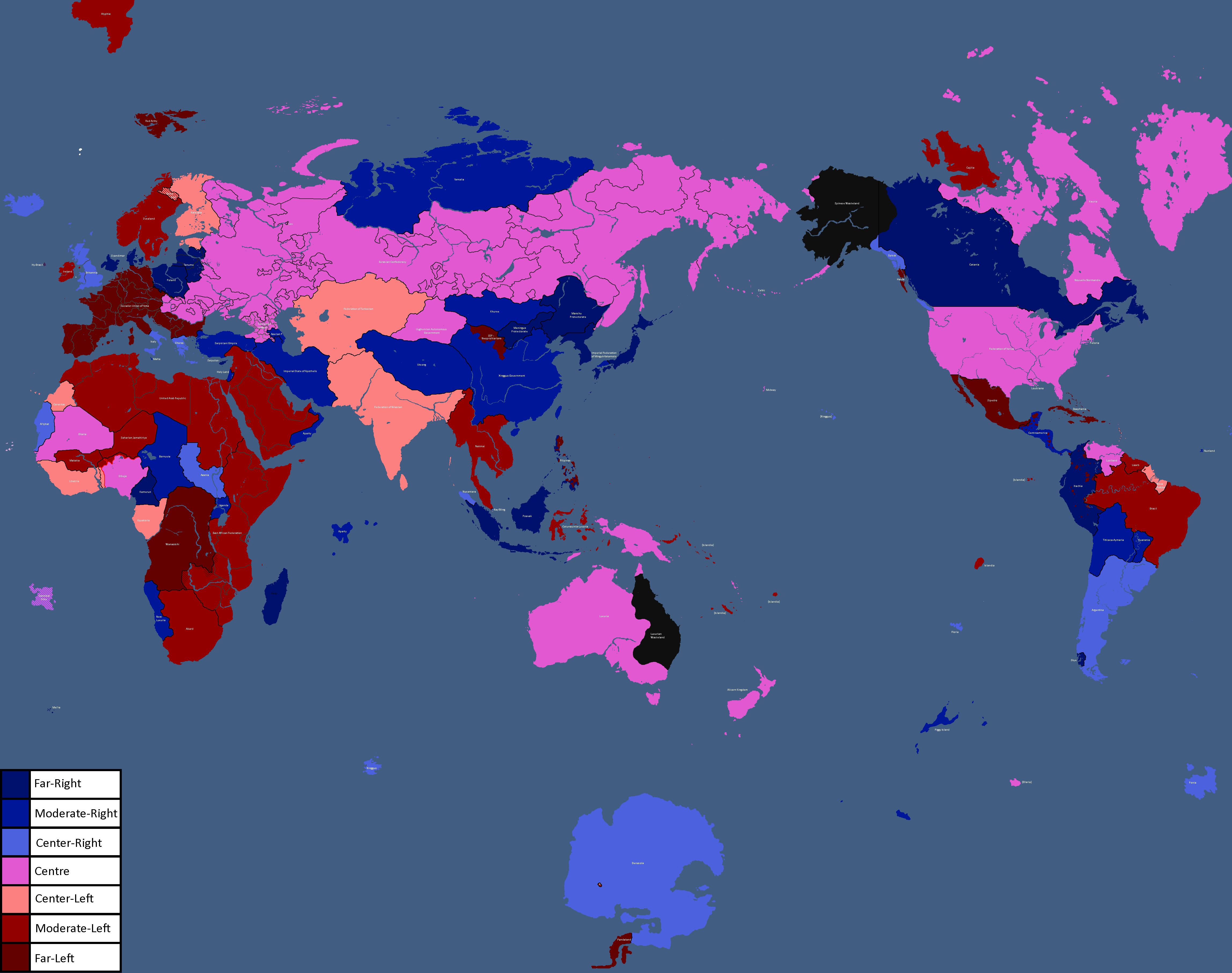
Map of Ideologies: Year 375
-
-
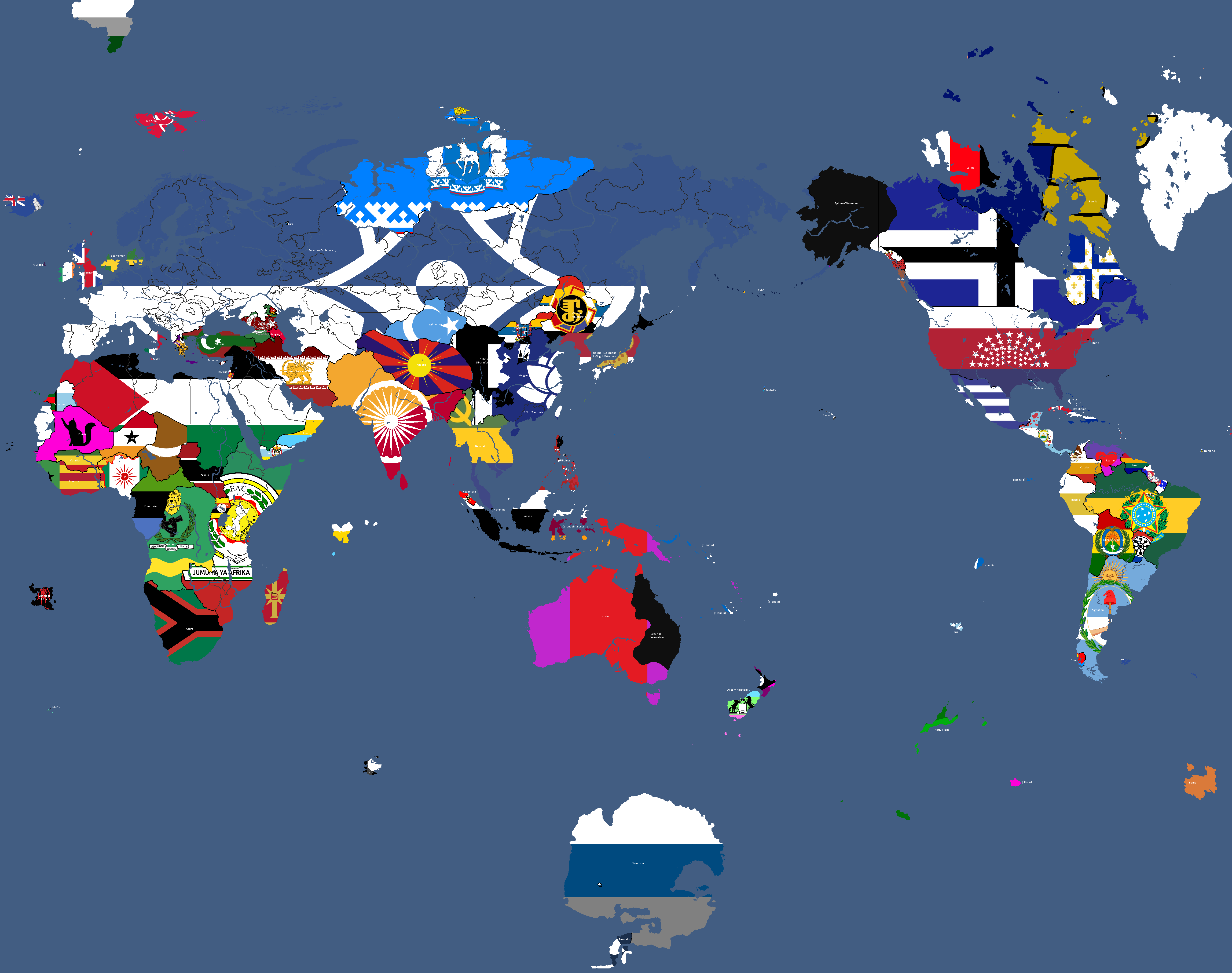
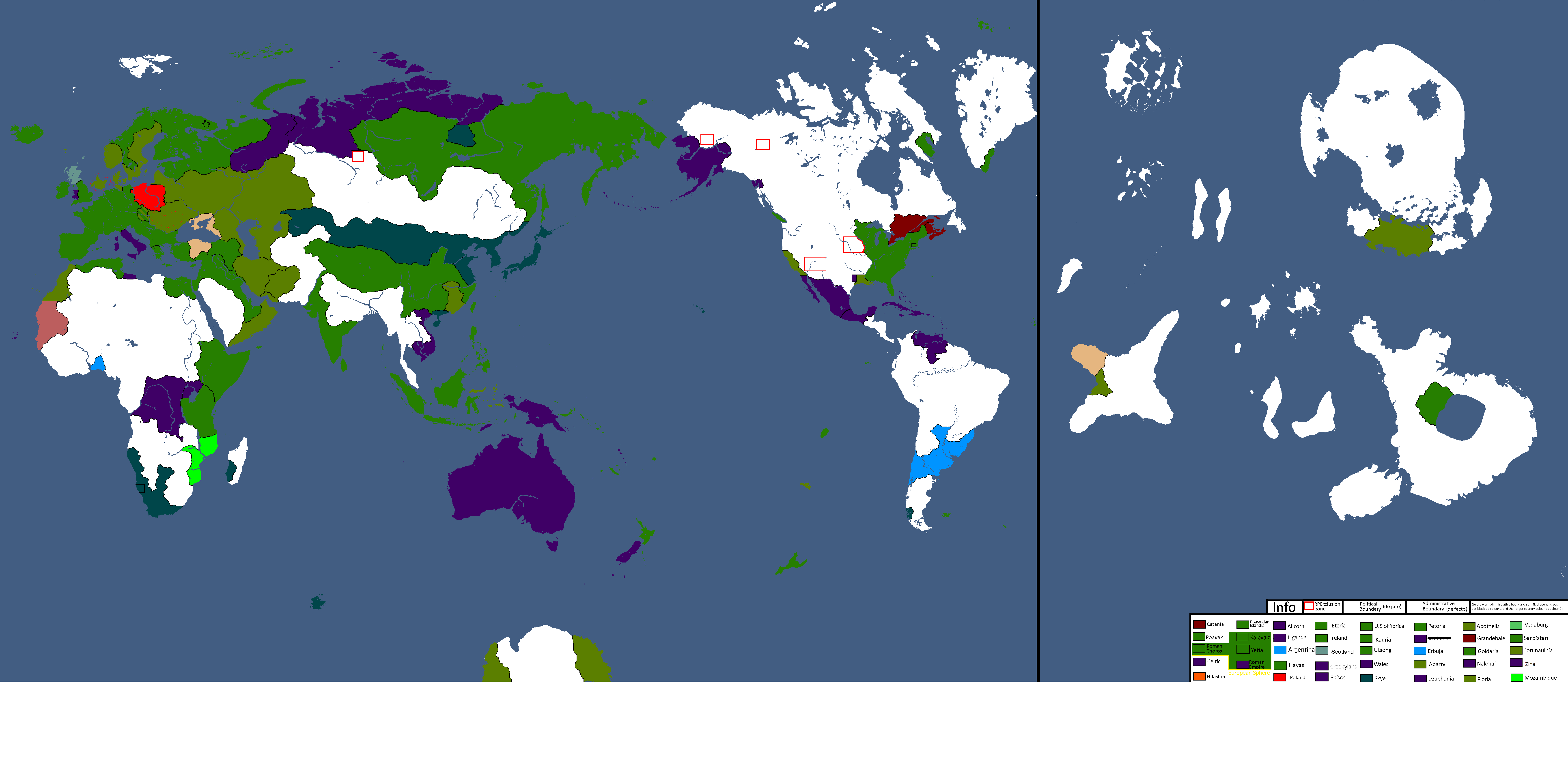
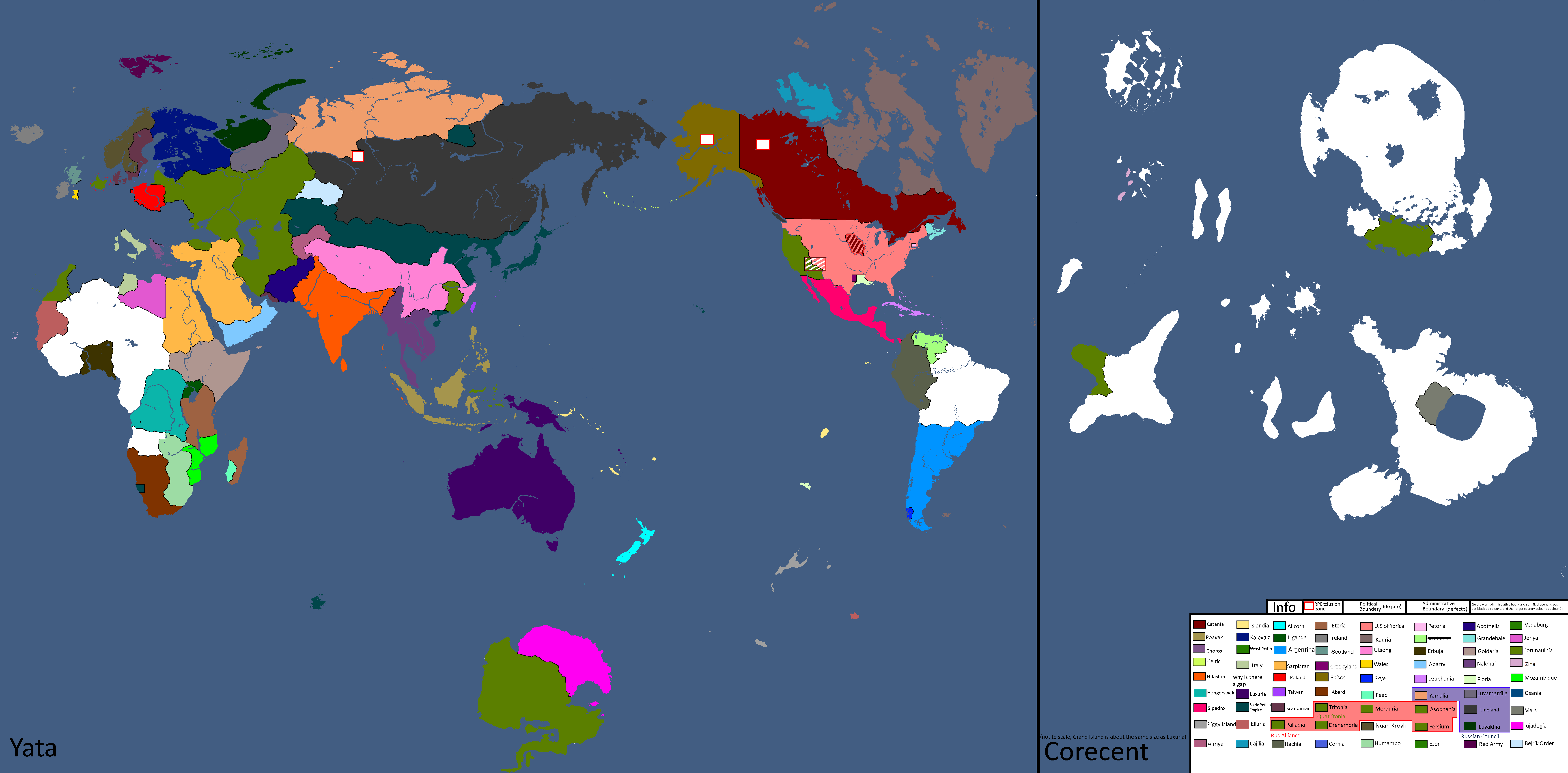
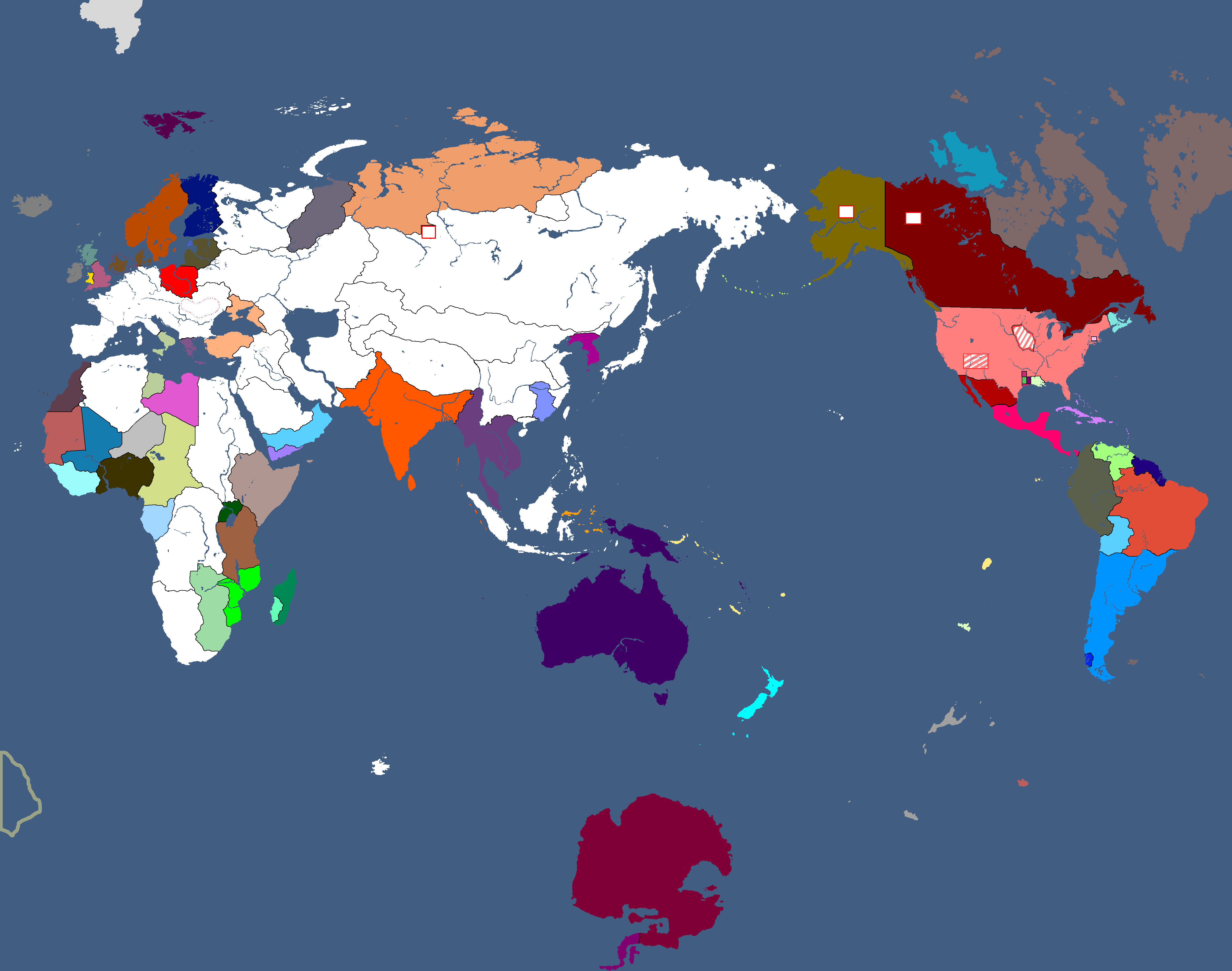
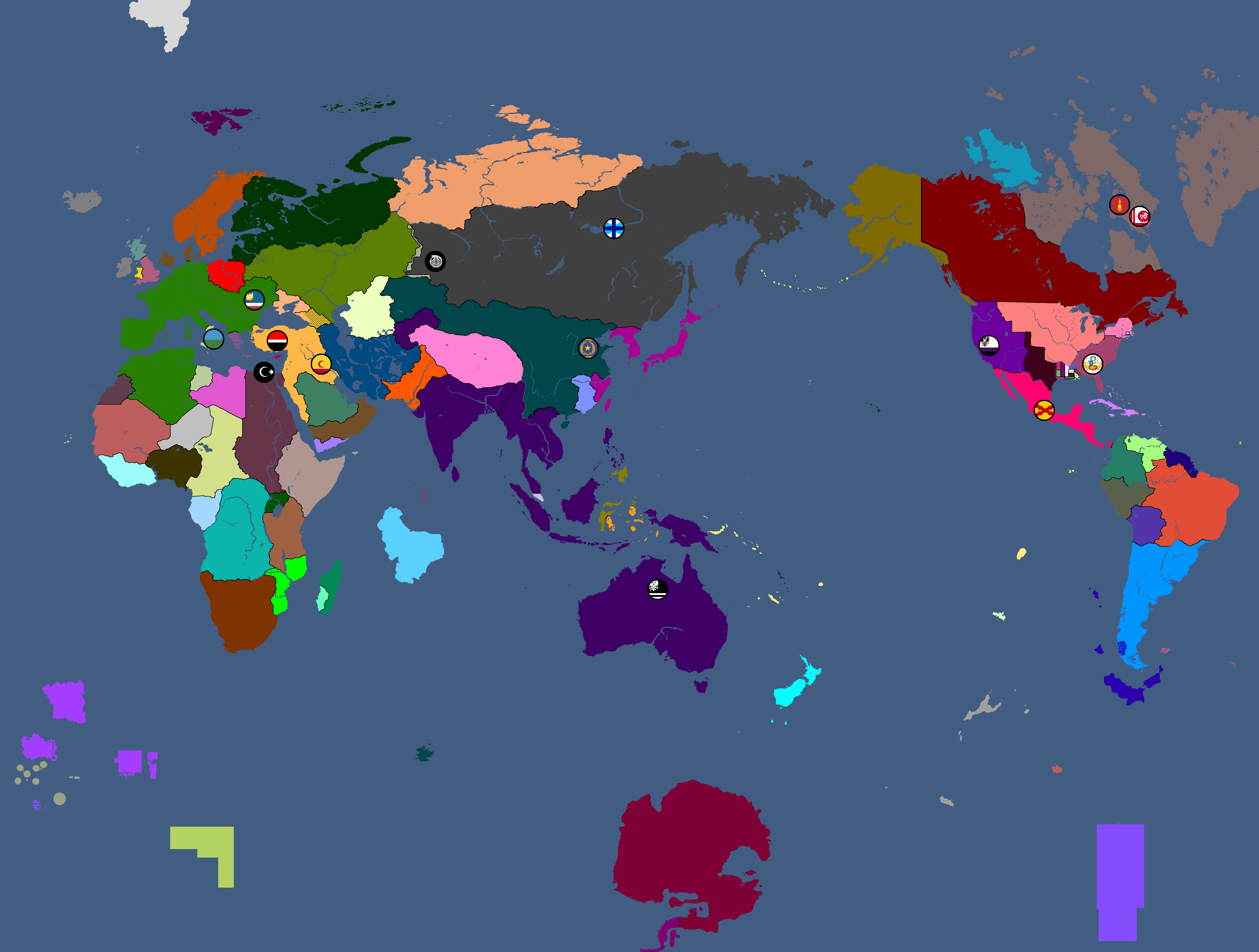
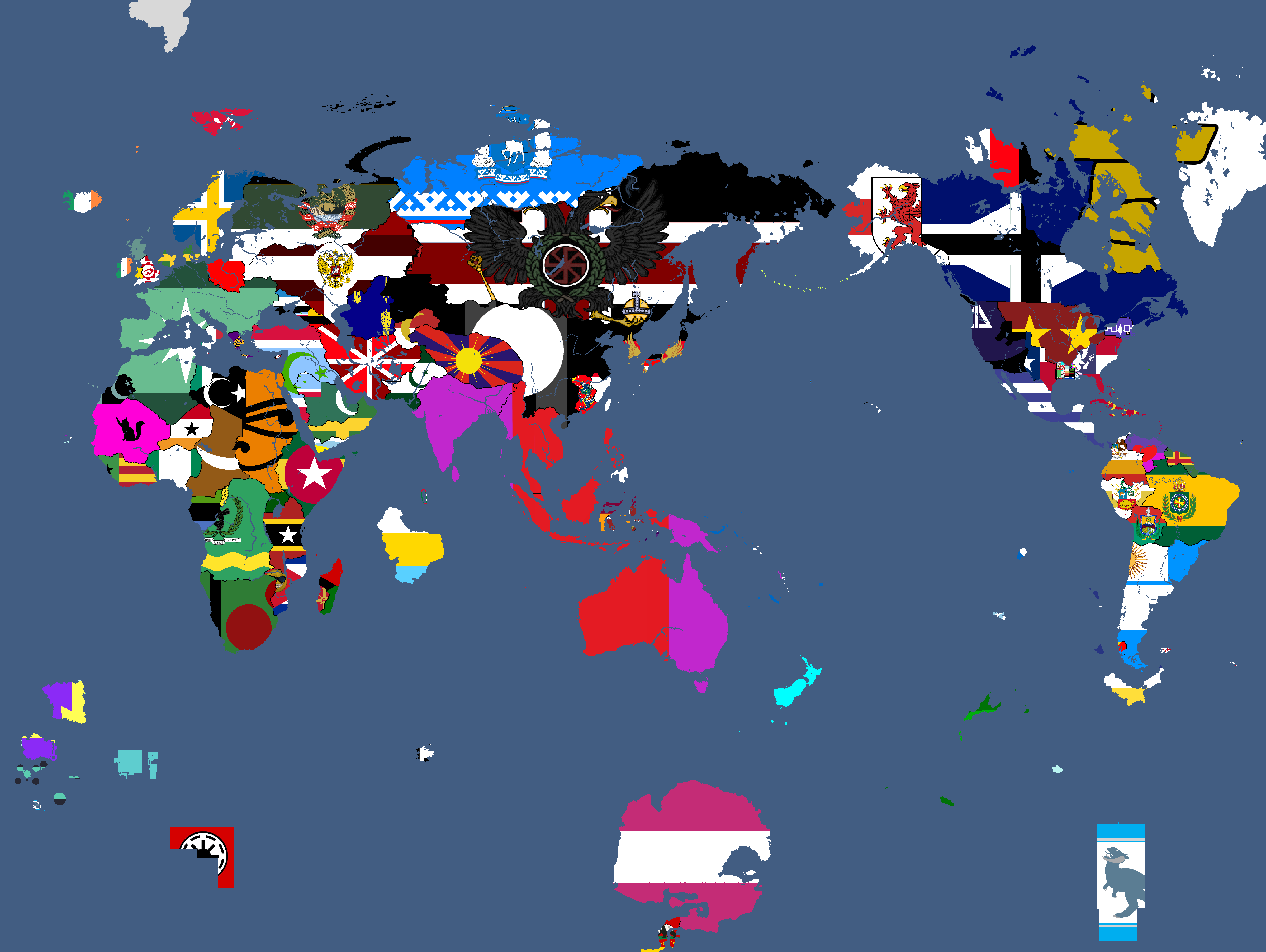
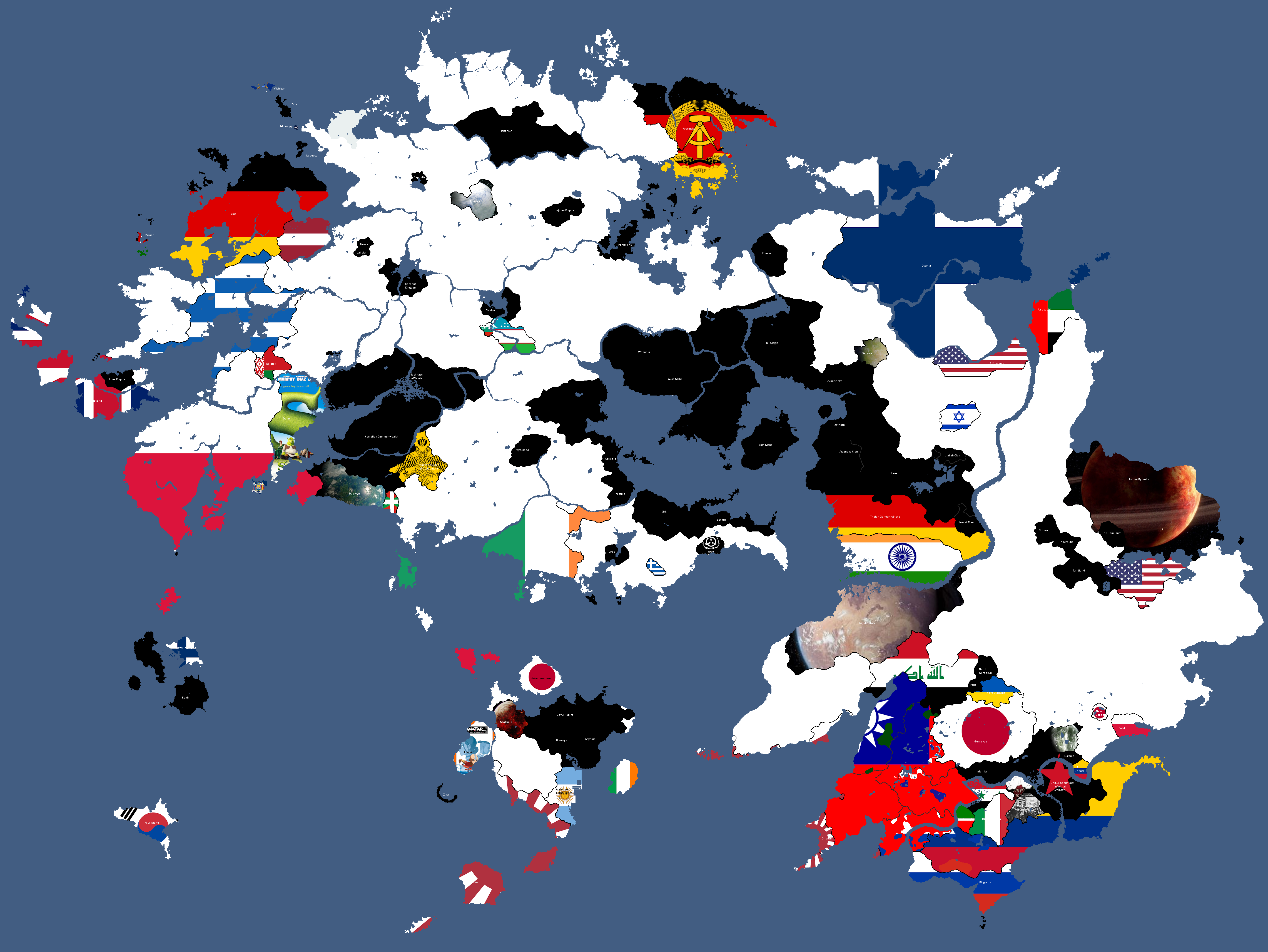
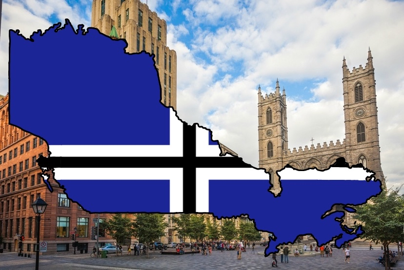
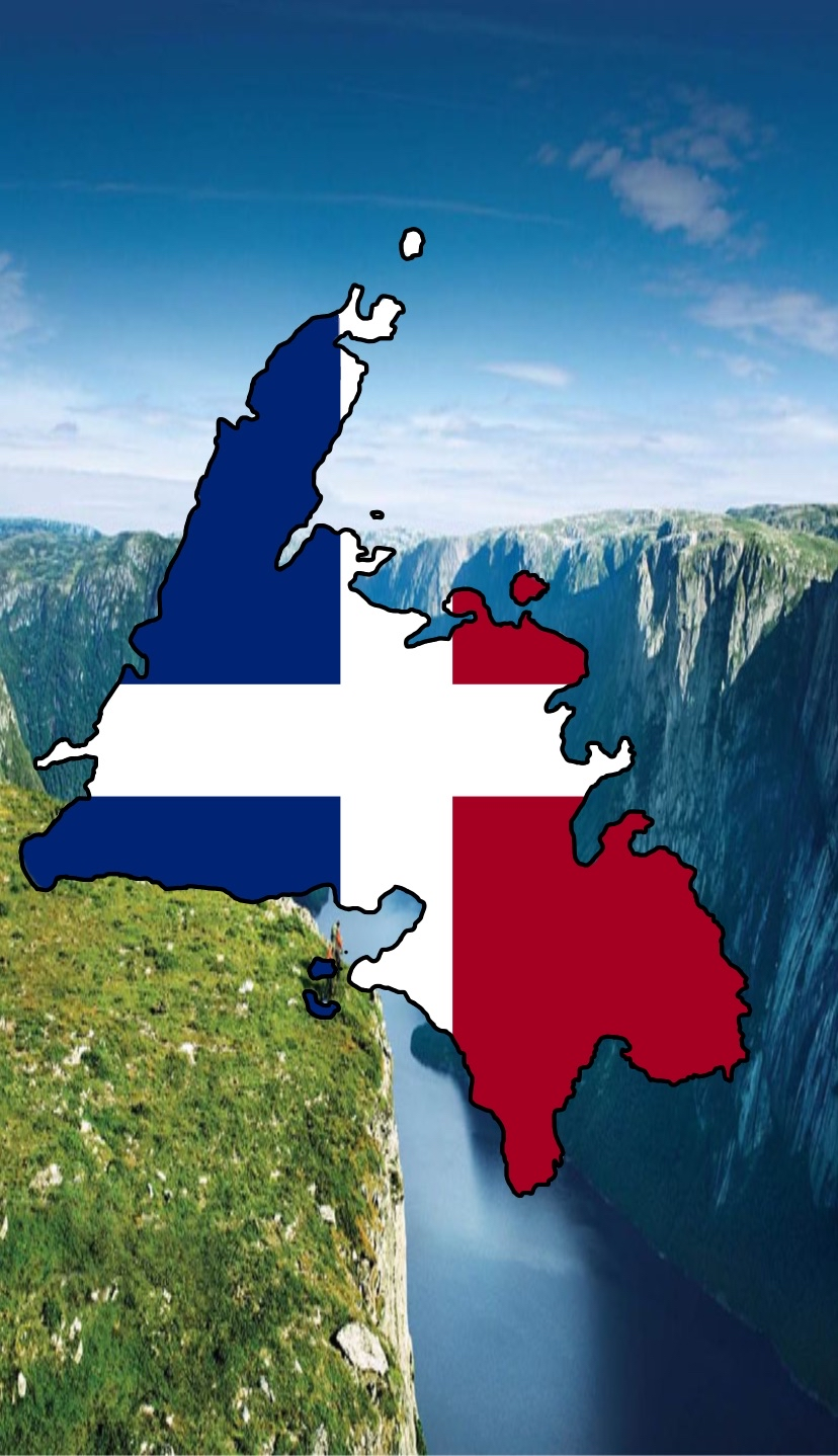
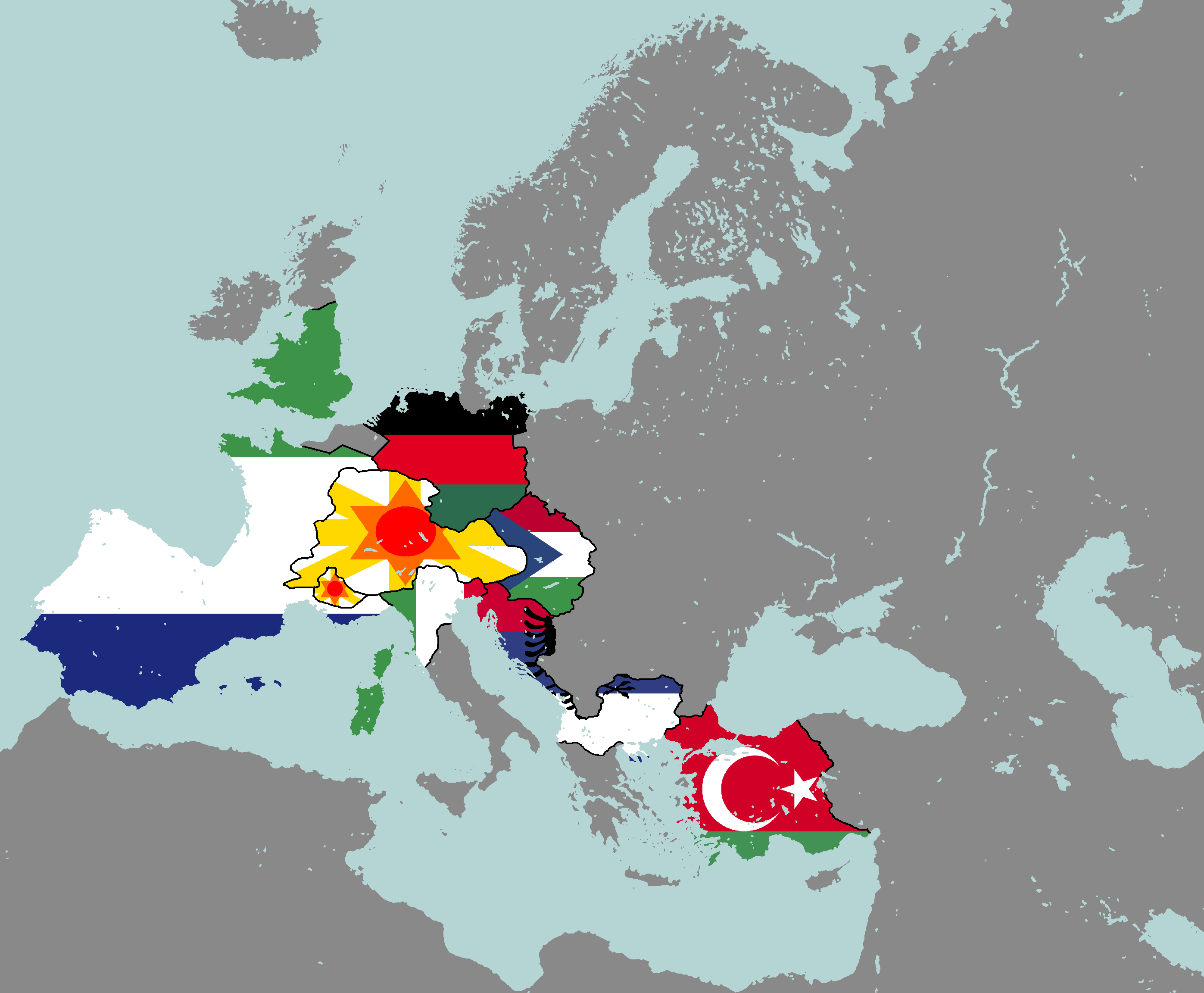
Flag Map: Year 377


![Map of Democracy[1]: Year 343](/yatawiki/index.php/File:Democracymap.png)
![Monarchy or Republic[2]: Year 347](/yatawiki/index.php/File:Monarchyrepublic.png)


![Map of Religions[3]: Year 362](/yatawiki/index.php/File:Religionmap.png)

![Map of Nuclear Powers[4]: Year 367](/yatawiki/index.php/File:Nuclearpowers.png)
![Map of the Yatan Cold War[5]: Year 371](/yatawiki/index.php/File:Yatancoldwar.png)
![Map of World Power Statuses[6]: Year 371](/yatawiki/index.php/File:Powersmap.png)
![Development Map[7]: Year 372](/yatawiki/index.php/File:Developmentmap.png)

![Democracy Map[8]: Year 372](/yatawiki/index.php/File:Democracymap3.png)

![Map of Economic Structure[9]: Year 373](/yatawiki/index.php/File:Economymap.png)


Theian Maps
-
Osanian Trade Routes: Year 141
-
Map of the Deltaic Region: Year 145
-
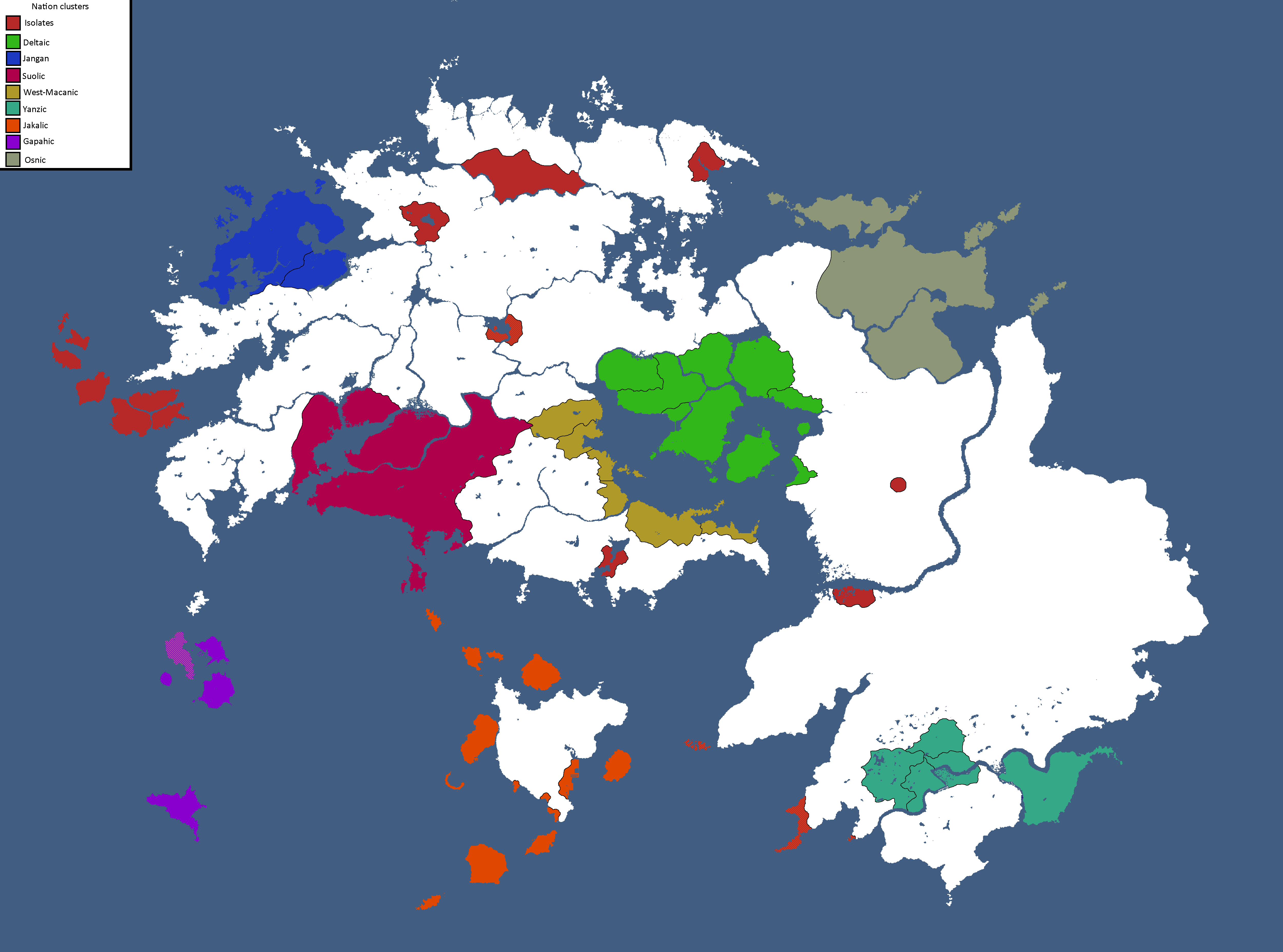
Nation Clusters of Theia: Year 165
-

Homelands of the Theian Natives: Year 171
-
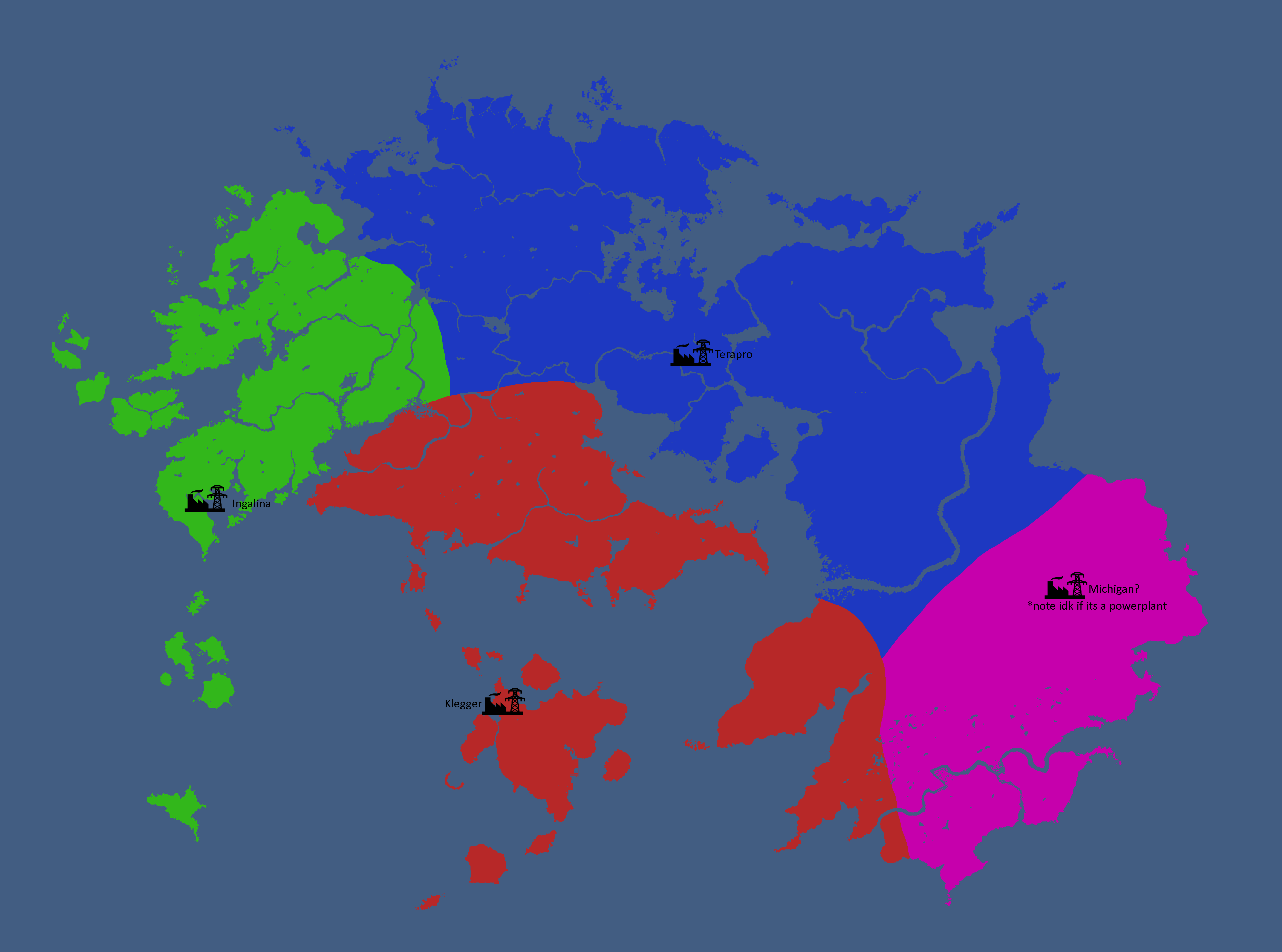
Major Powerplant Service Areas: Year 185
-
Relevant Countries of Theia: Year 229
-
Theian Countries' opinions of Polsk: Year 229
-
Map with names: Year 229
-
Theian Cold War: Year 231
-
Map of Disputed Territories in Altilai: Year 233
-
Ideology Map: Year 247
-
Theian Cold War: Year 249
-
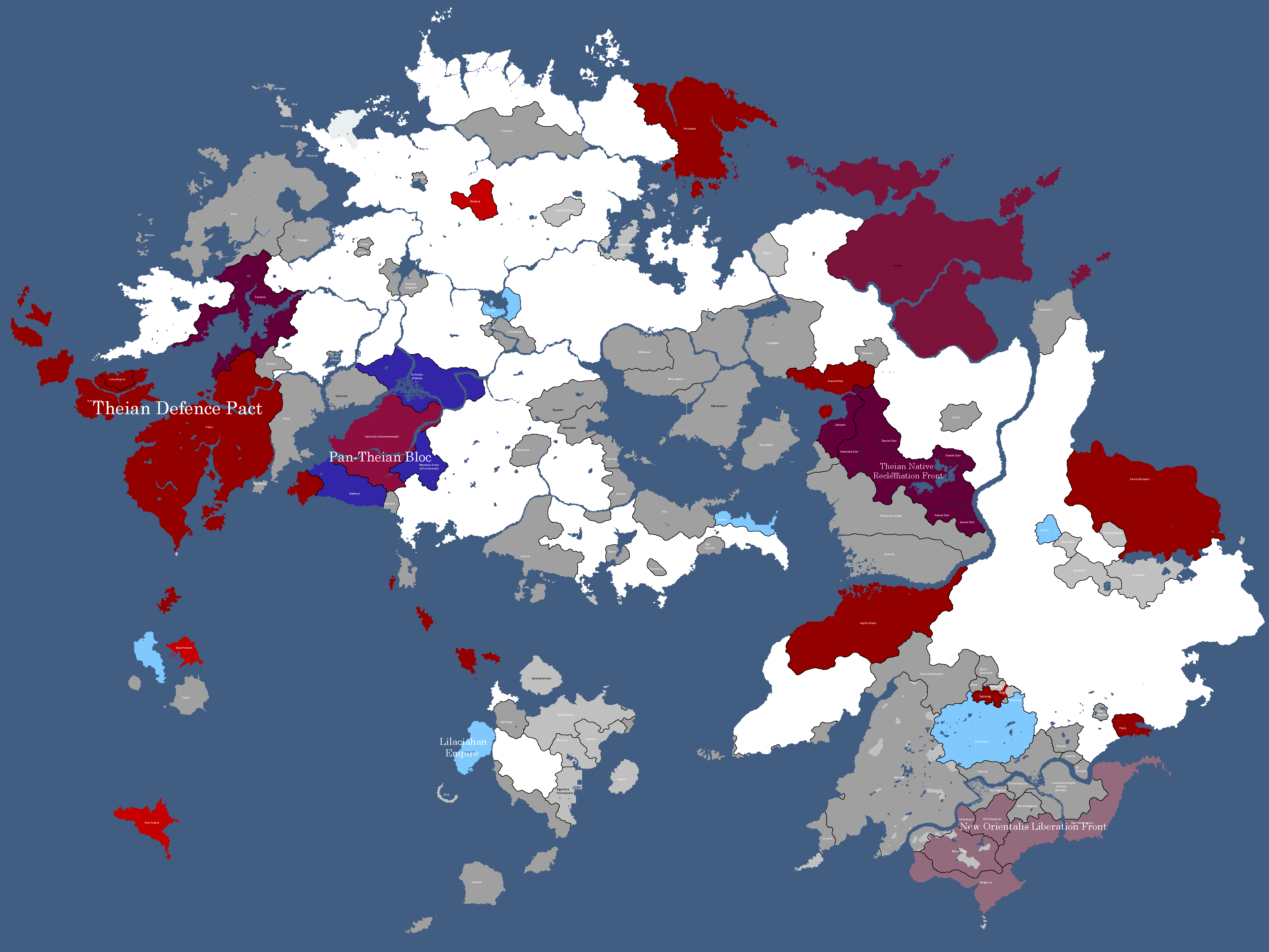
Alliance Map: Year 338
-
Map of Spacefaring Countries: Year 339
-
![Map of Democracy[10]: Year 343](/yatawiki/images/f/f0/Democracymap2.png)
Map of Democracy[10]: Year 343
-
Inspirations of Theian Countries: Year 343
-
Map of Ideologies: Year 354
-
Other nations opinions of the CIS/Polsk: Year 367
-
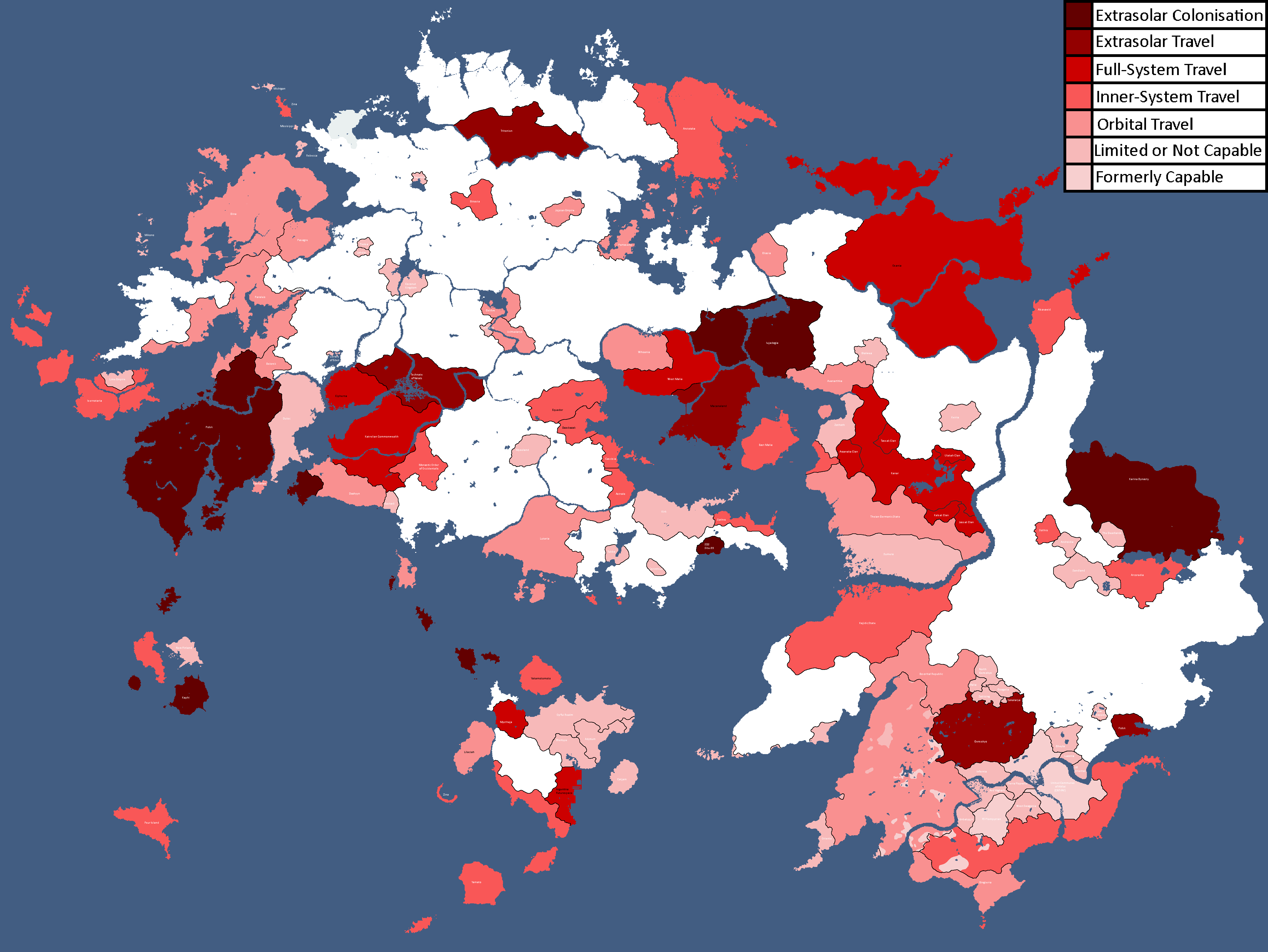
![Map of World Power Statuses[11]: Year 371](/yatawiki/images/9/92/Powersmap2.png)
Map of World Power Statuses[11]: Year 371
-
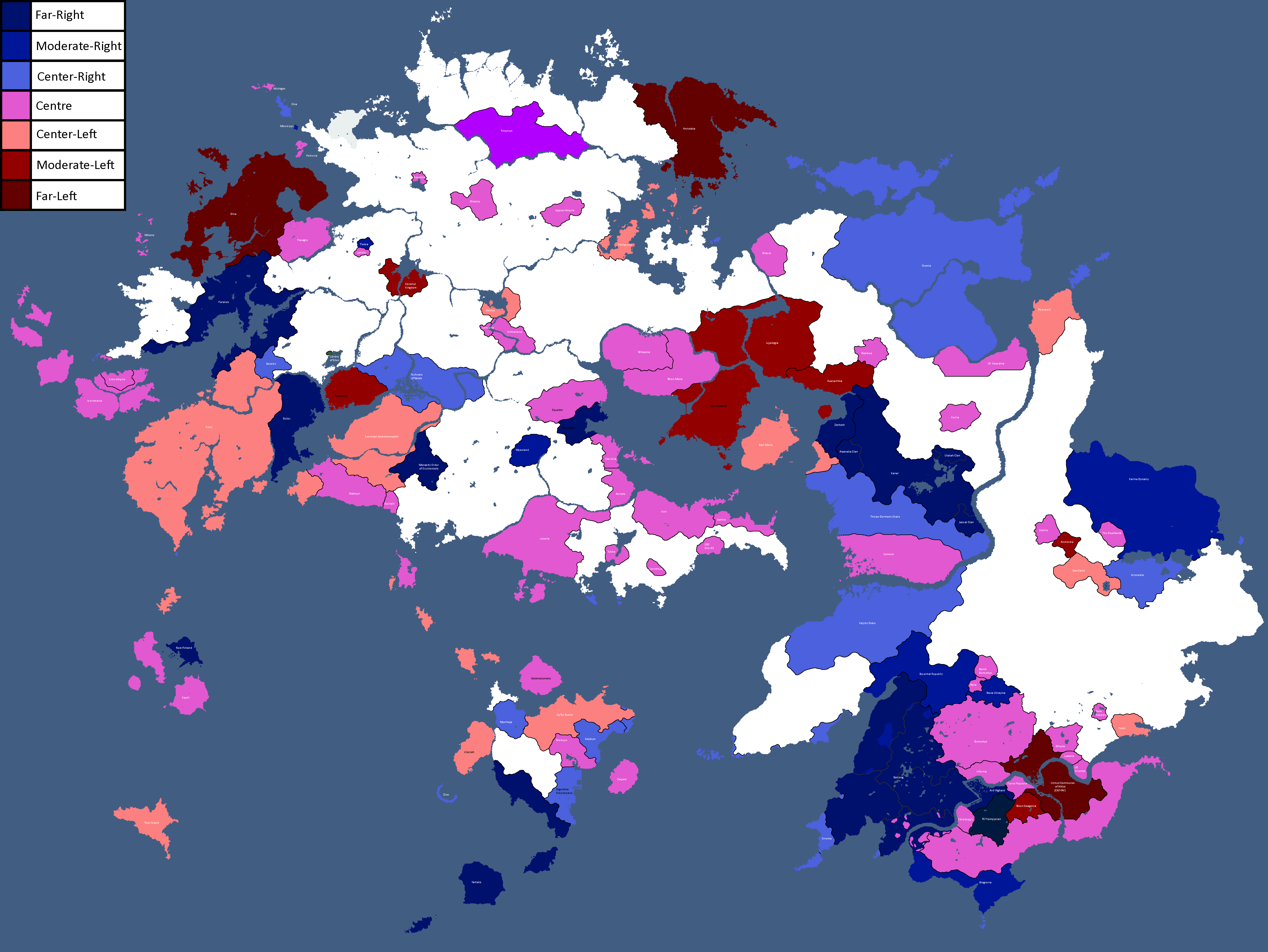
Map of Ideologies: Year 375


![Map of Democracy[10]: Year 343](/yatawiki/index.php/File:Democracymap2.png)


![Map of World Power Statuses[11]: Year 371](/yatawiki/index.php/File:Powersmap2.png)
Skantoan Maps
-
Ideology Map: Year 247
-
Map of Cities: Year 254


Other Planet Maps
-
Map of Kanashi: Year 296

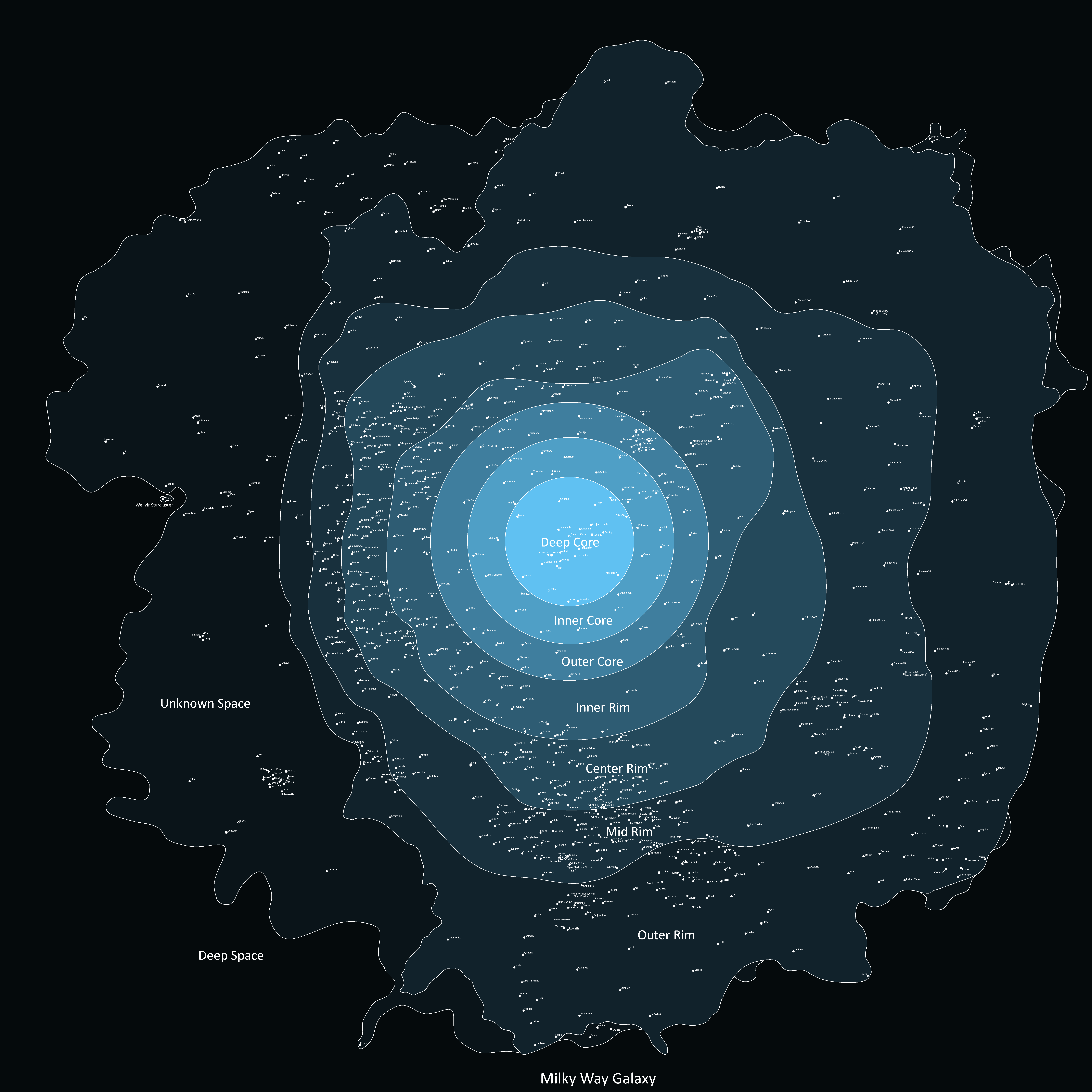
Extrasolar Maps
-
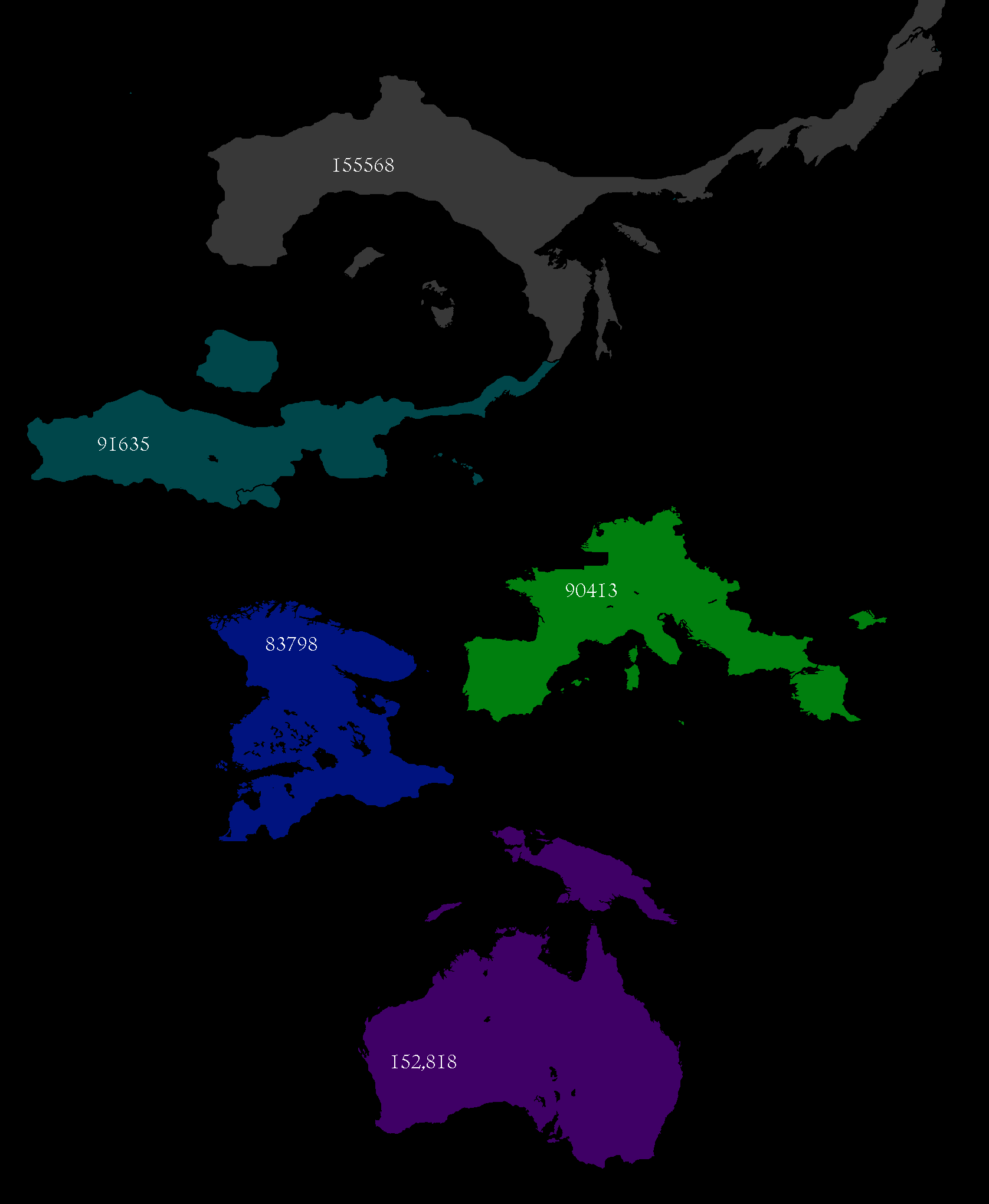
Map of Major Civilisations upon the beginning of the First Qu Invasion: Year 469,430 BGS
-
Map of FTL Routes: Year 327
-
![Map of Democracy[12]: Year 343](/yatawiki/images/5/5b/Democracymap4.png)
Map of Democracy[12]: Year 343
-
Map with only systems: Year 356
-
Map of areas Humanity has explored: Year 366
-
Map with only systems: Year 368


![Map of Democracy[12]: Year 343](/yatawiki/index.php/File:Democracymap4.png)


National Maps
Abardean Maps
-
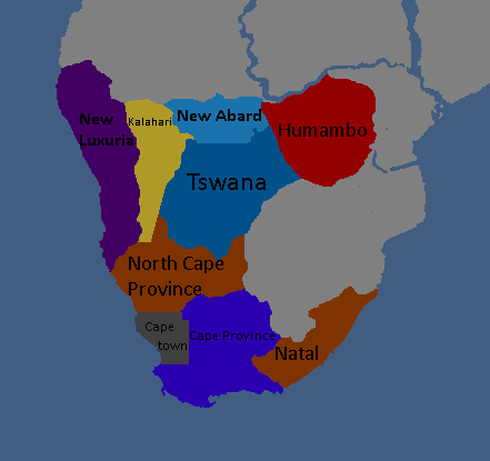
Provinces of Abard: Year 306

Adytian Maps
-
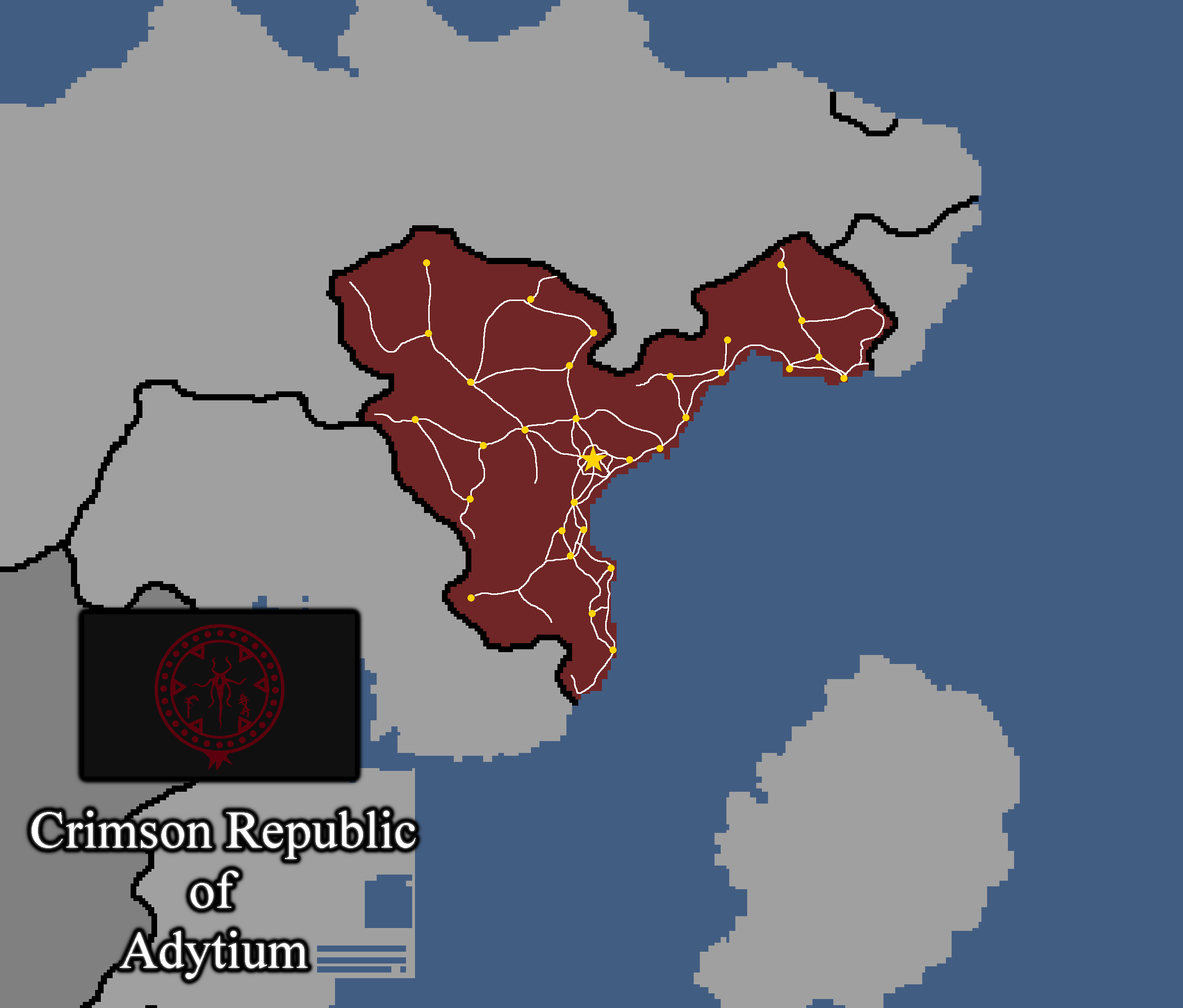
Map of Adytium: Year 324

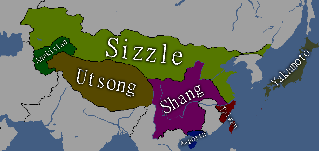
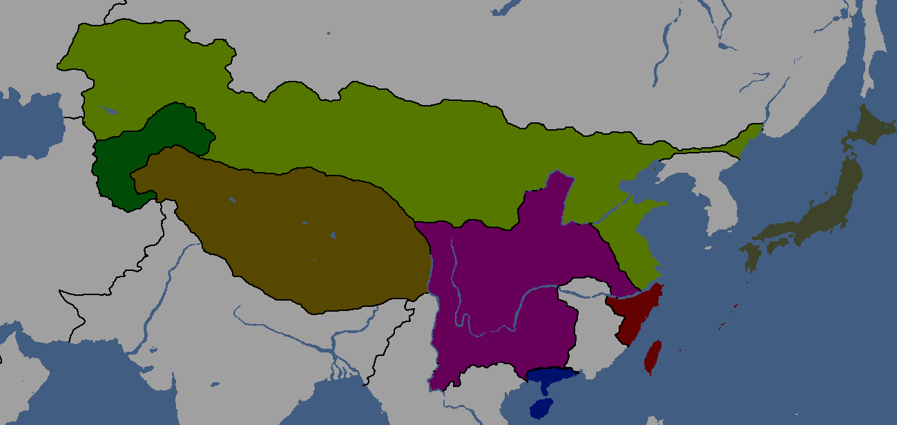
Anakistani Maps
-
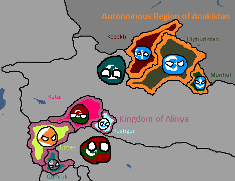
Anakistani Provinces & Regions: Year 112

Catanian Maps
-
Catania Flag Map: Year 215
-
Map of the Newfoundland National Restoration Council, de facto Catanian land: Year 229


Cotunauinian-Luvurian Maps
-
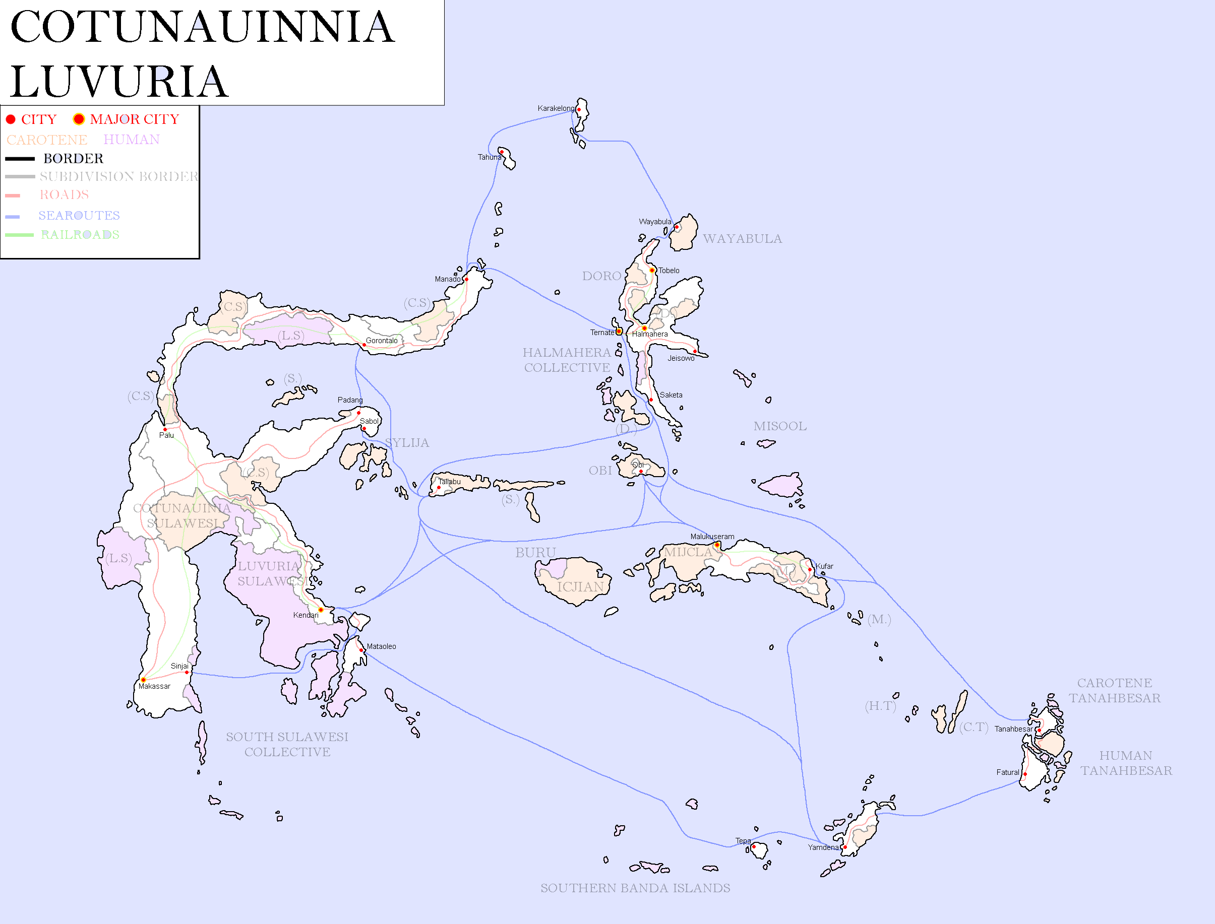
Map of Cotunauinia-Luvuria: Year 377

Drenemorian Maps
-
Drenemoria Territorial History: Year 185

East Tritonia Maps
-
Map of Linelandic Occupation in East Tritonia: Year 204

English Maps
-
English City Plan: Year 105
-

York: Year 160


Goldarian Maps
-
Goldarian Federal States: Year 102 (Countryballs)
-
Goldarian Federal States: Year 102


Hayahian Maps
-
Languages of Hayah: Year 191
-
Flag Map of Alhayat: Year 345


Hayastani Maps
-
Languages of Hayas: Year 112

Humamboan Maps
-

Homeland & Colonies of Humambo: Year 115

Isernotarian Maps
-
Isernotarian Constituent Nations: Year 116 (Countryballs)
-
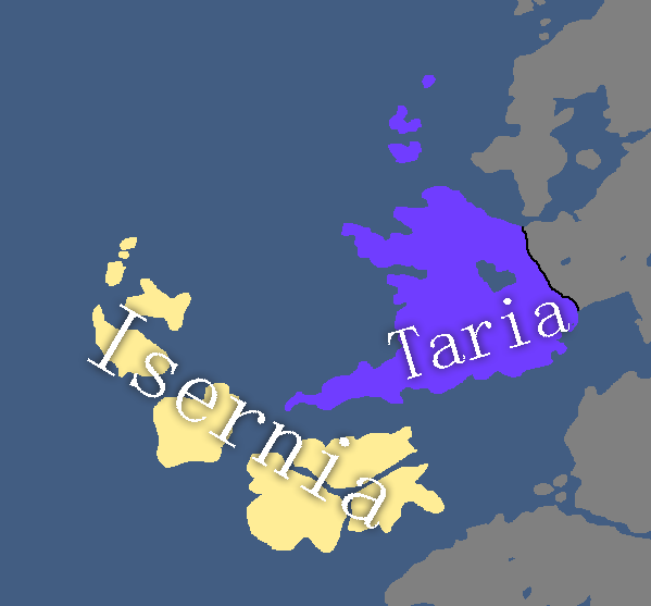
Isernotarian Constituent Nations: Year 116


Islandian Maps
-
Islandian kingdoms and principalities: Year 95 (Countryballs)
-
Islandian kingdoms and principalities: Year 95


Linelandic Maps
-
Linelandic Federal Subjects: Year 101
-
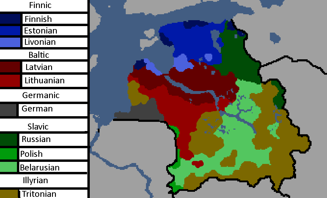
Linelandic Languages: Year 112
-
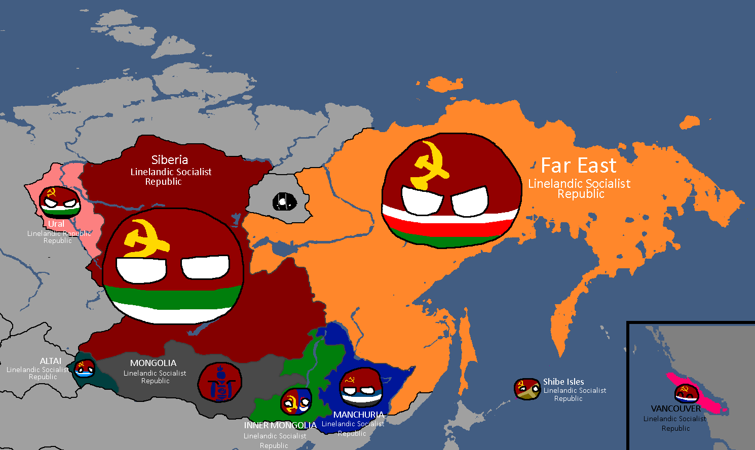
Member-Republics of the Union of Linelandic Socialist Republics: Year 112
-
Member-Republics of the Union of Linelandic Socialist Republics: Year 113
-
Oblasts of Lineland: Year 130 (Countryballs)
-
Oblasts of Lineland: Year 130 (Names)
-
Oblasts of Lineland: Year 130 (Blank)
-
Oblasts of Lineland: Year 132
-
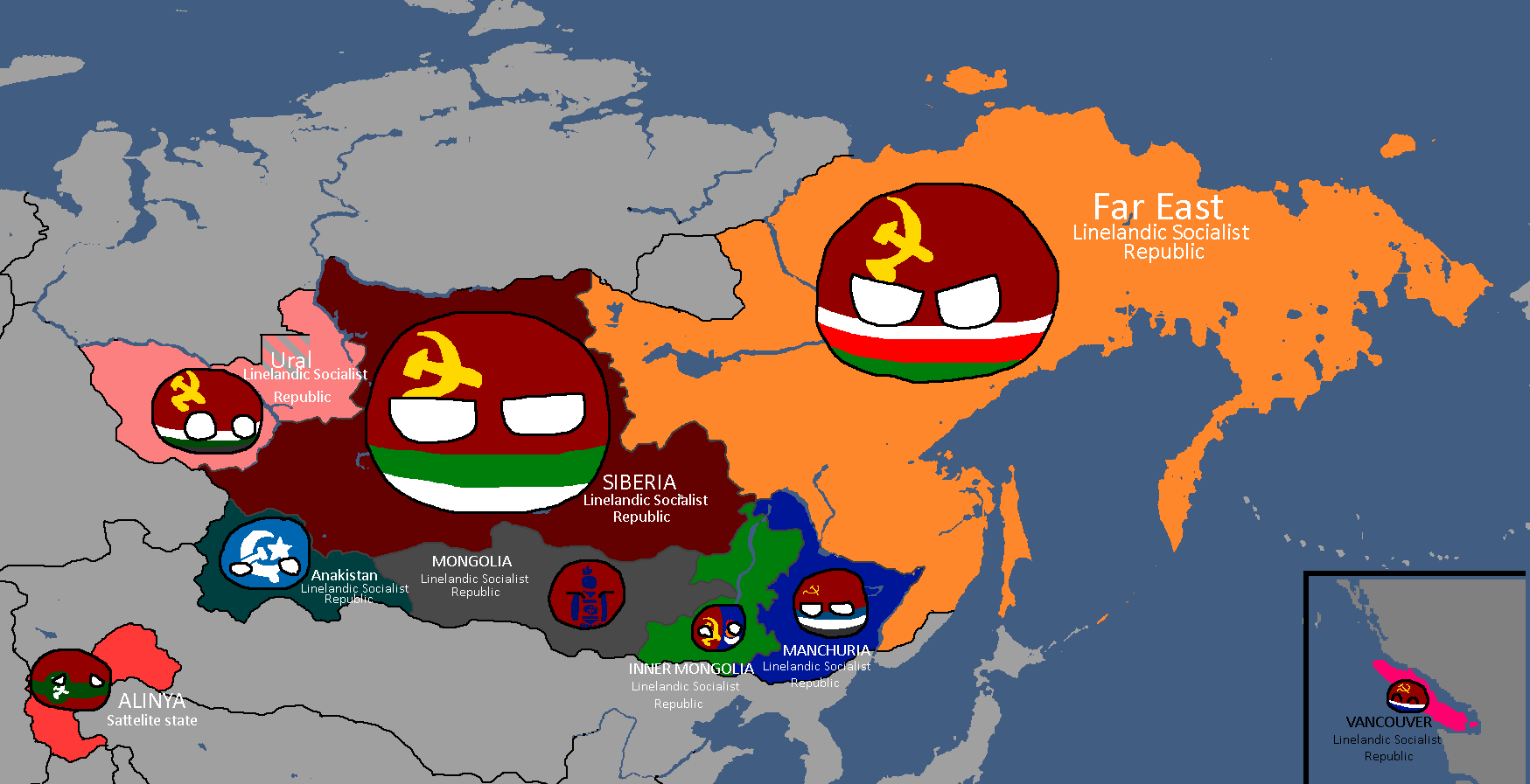
Constituent Countries of Lineland: Year 144 (Countryballs)
-
Constituent Countries of Lineland: Year 144
-
Map of damages caused by Tritonian terror-bombing: Year 185
-
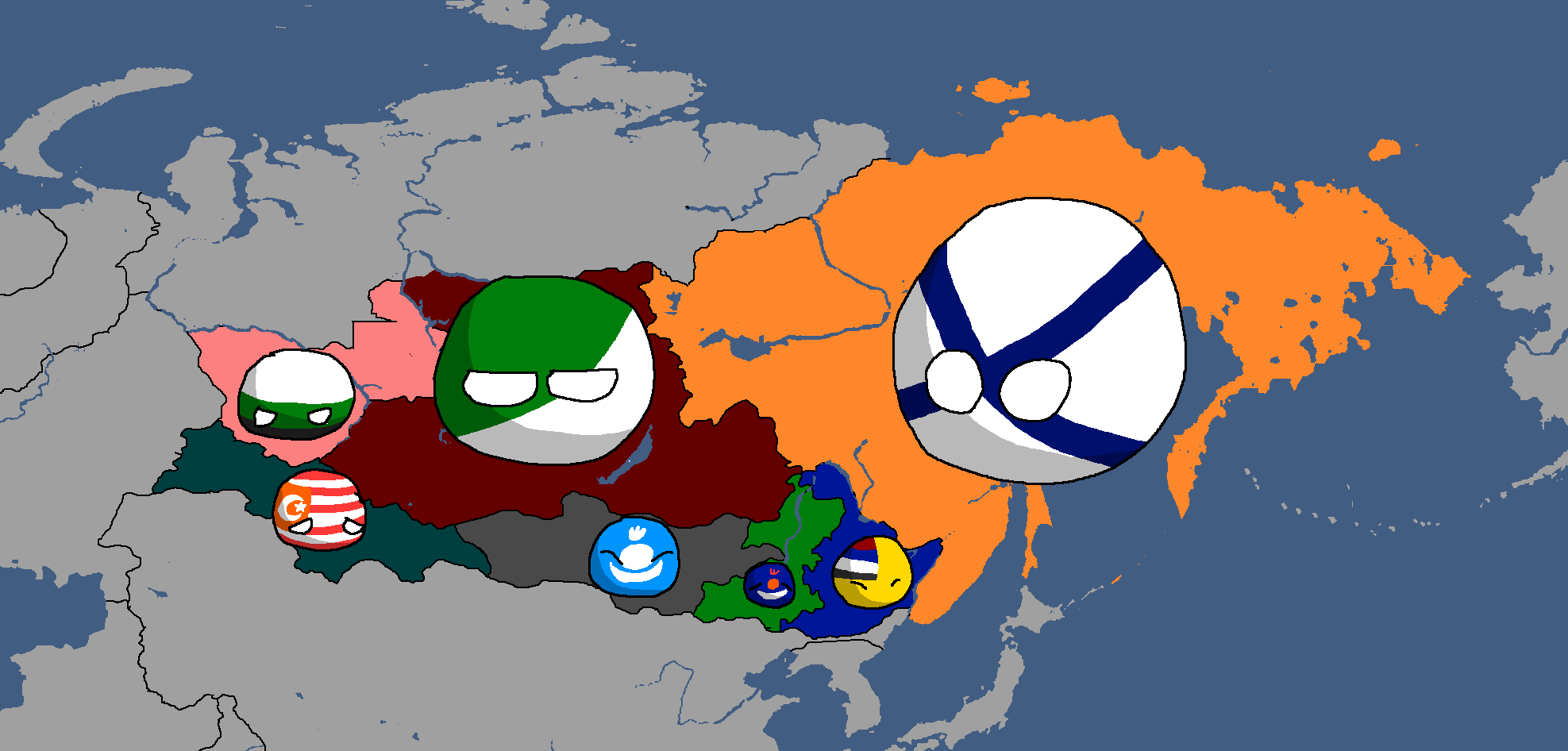
Linelandic Warlords without labels: Year 186
-
Map of the Linelandic Sphere: Year 231
-
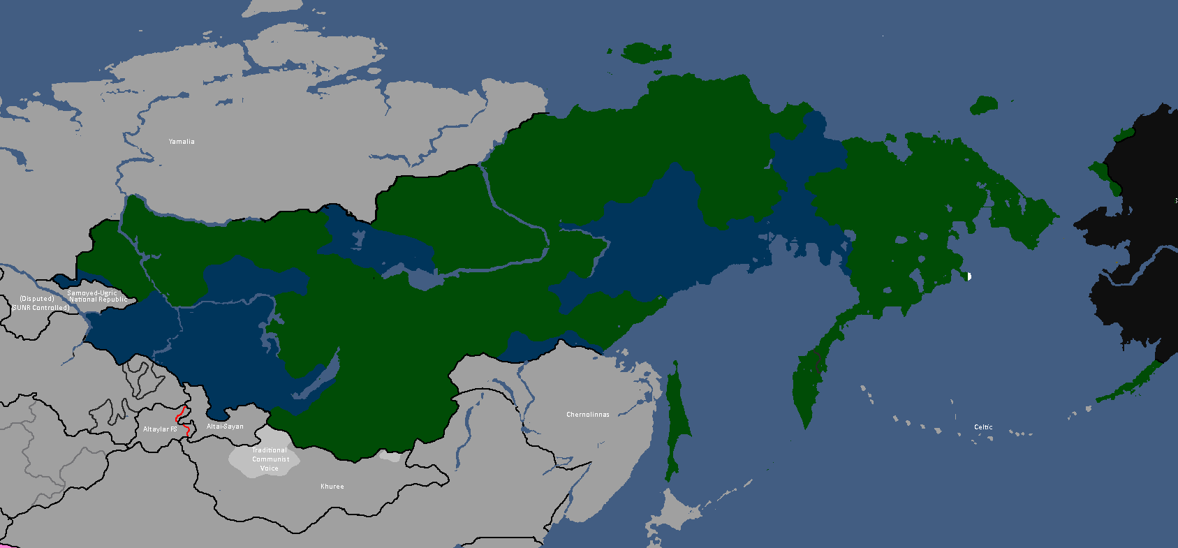
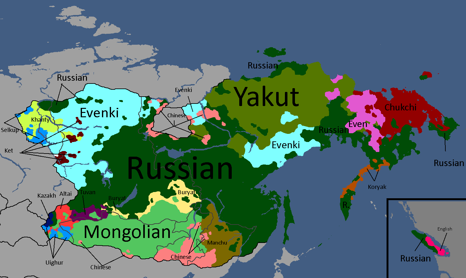
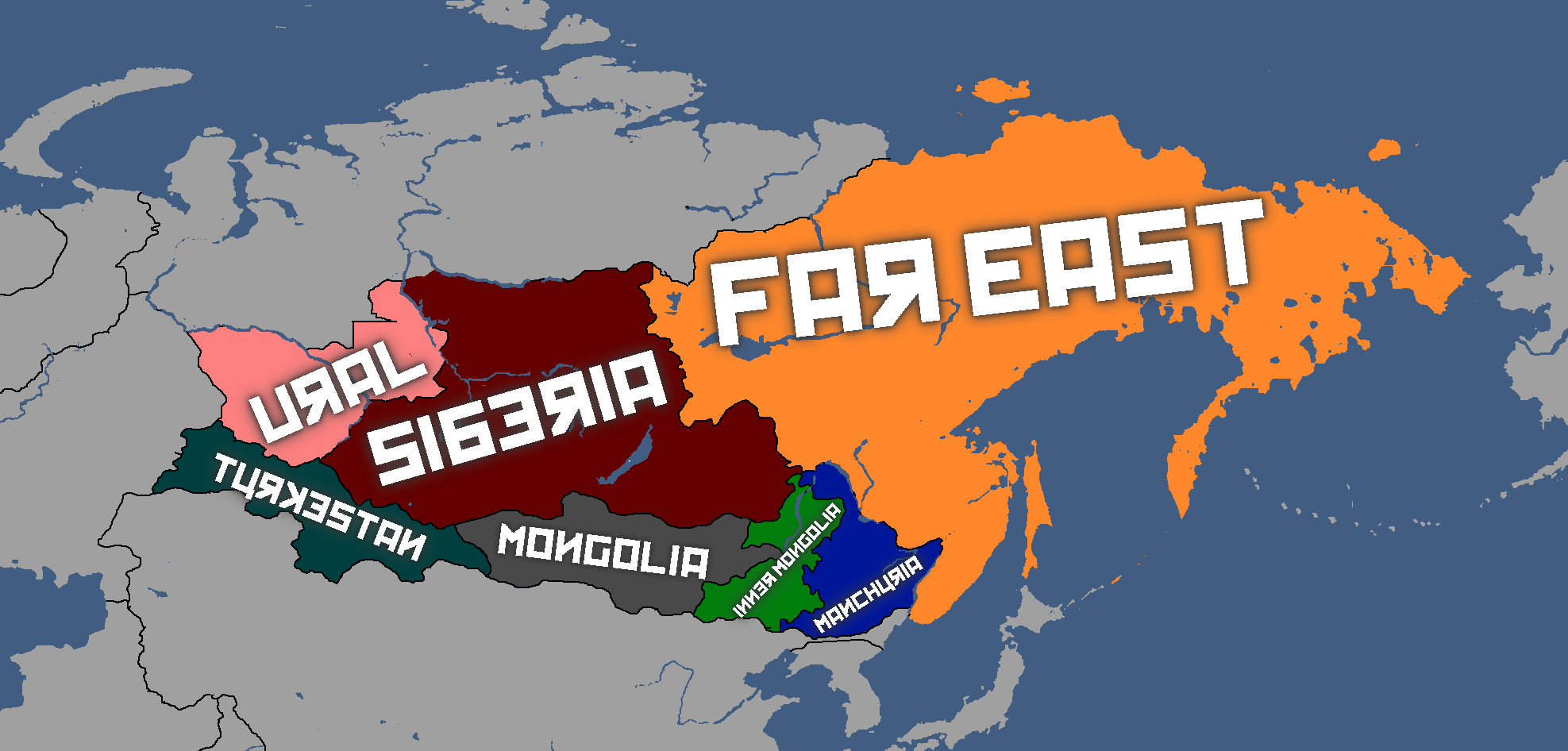
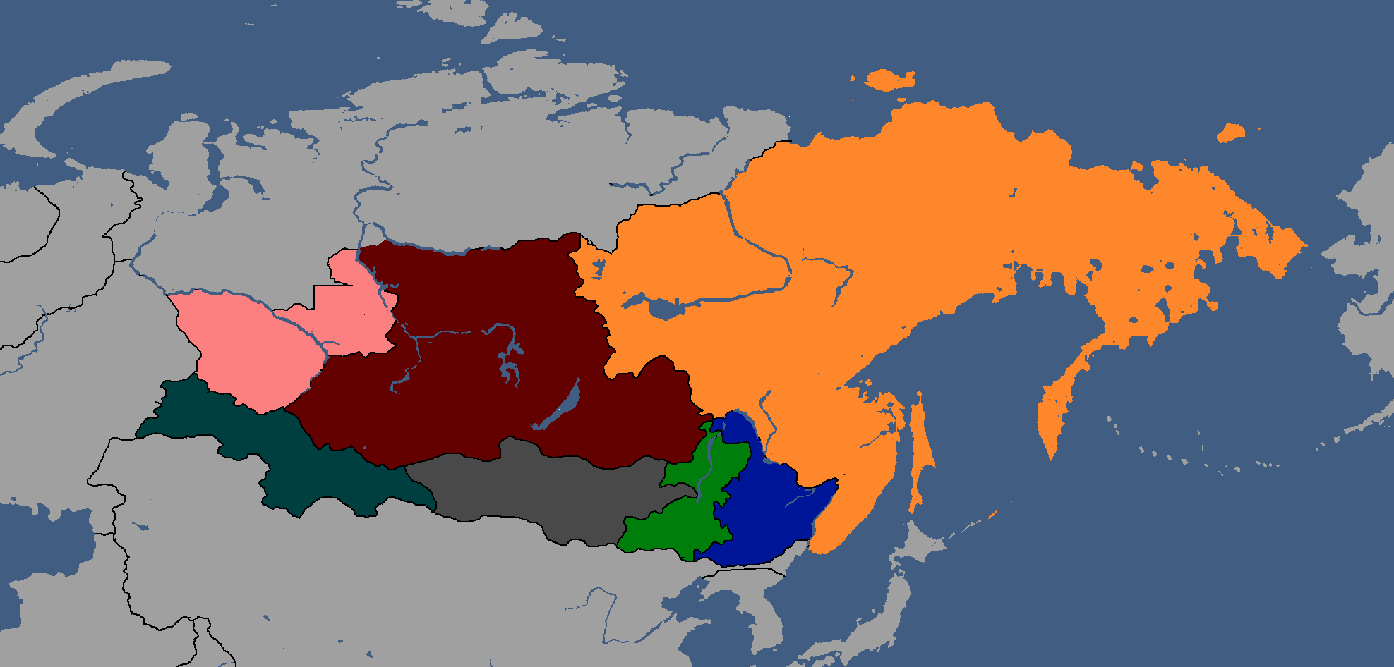
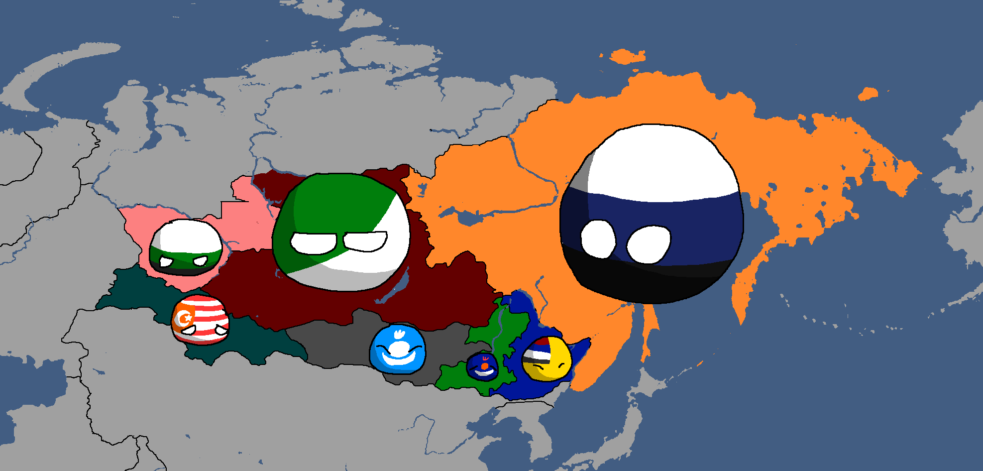
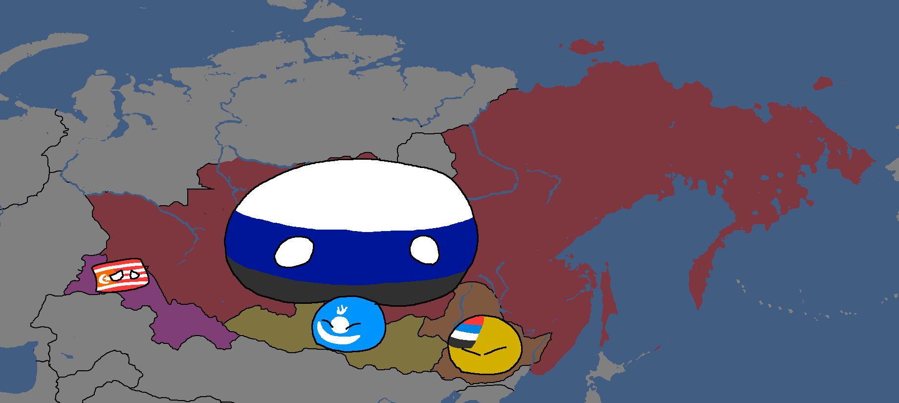
Map of Linelandic or Tritonian ethnicity in Siberia: Year 347


Luxurian Maps
-
Map of areas with active Poavakian resistance movements: Year 188
-
Map of areas with active resistance movements: Year 193


Nakamaian Maps
-
Languages of Nakmai: Year 112

Old Osanian Maps
-
Old Osanian States: Year 105

Poavakian Maps
-
Poavakian Subdivisions: Year 96
-
Areas settled by Nay'Bling refugees: Year 171


Rossiyan Maps
-
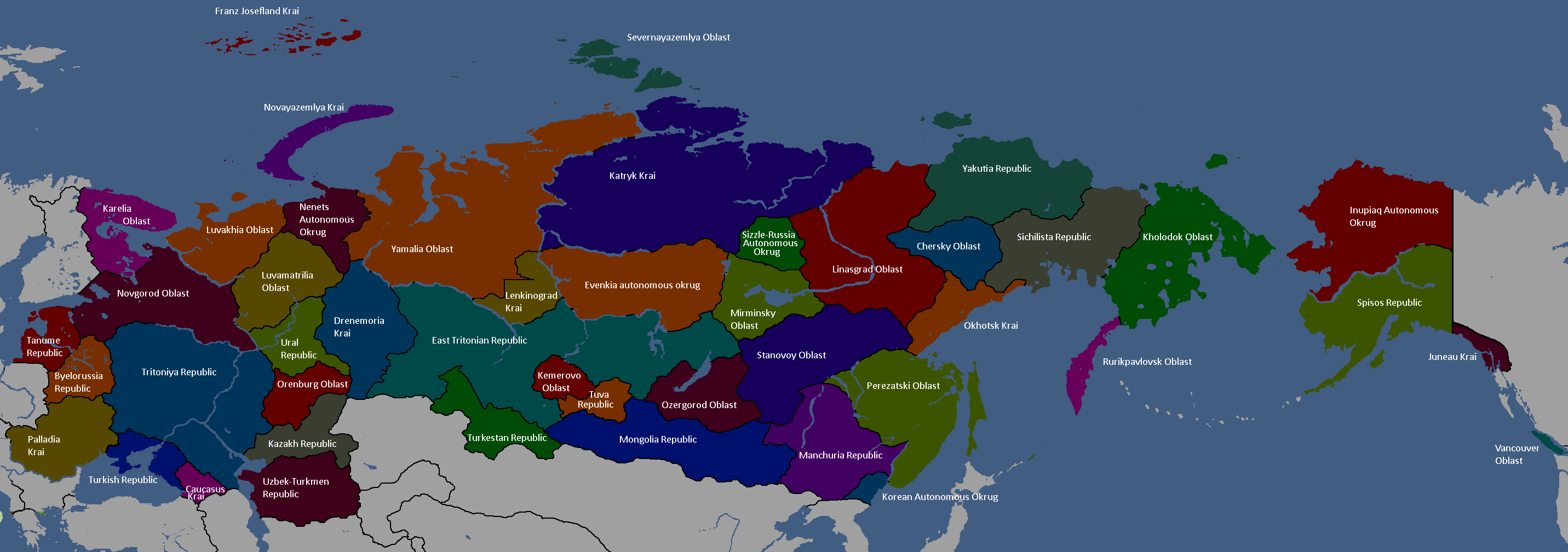
Federal Subjects of Rossiya: Year 176 (Names)
-
Federal Subjects of Rossiya: Year 176 (Blank)
-
Federal Subjects of Rossiya: Year 176 (Countryballs)
-
Languages of Rossiya: Year 180


Sarpistani Maps
-
Languages of Sarpistan: Year 114
-
Provinces of Sarpistan and Jeriya (Protectorate): Year 115
-
Map of the planned partition of Sarpistan: Year 121


Sizzlean Maps
-
Map of the (First) Sizzlean Empire: Year ~40s
-
Regions of Great Sizzle: Year 128 (Countryballs)
-
Regions of Great Sizzle: Year 128 (Names)
-
Regions of Great Sizzle: Year 128 (Blank)


Swagonian Maps
-
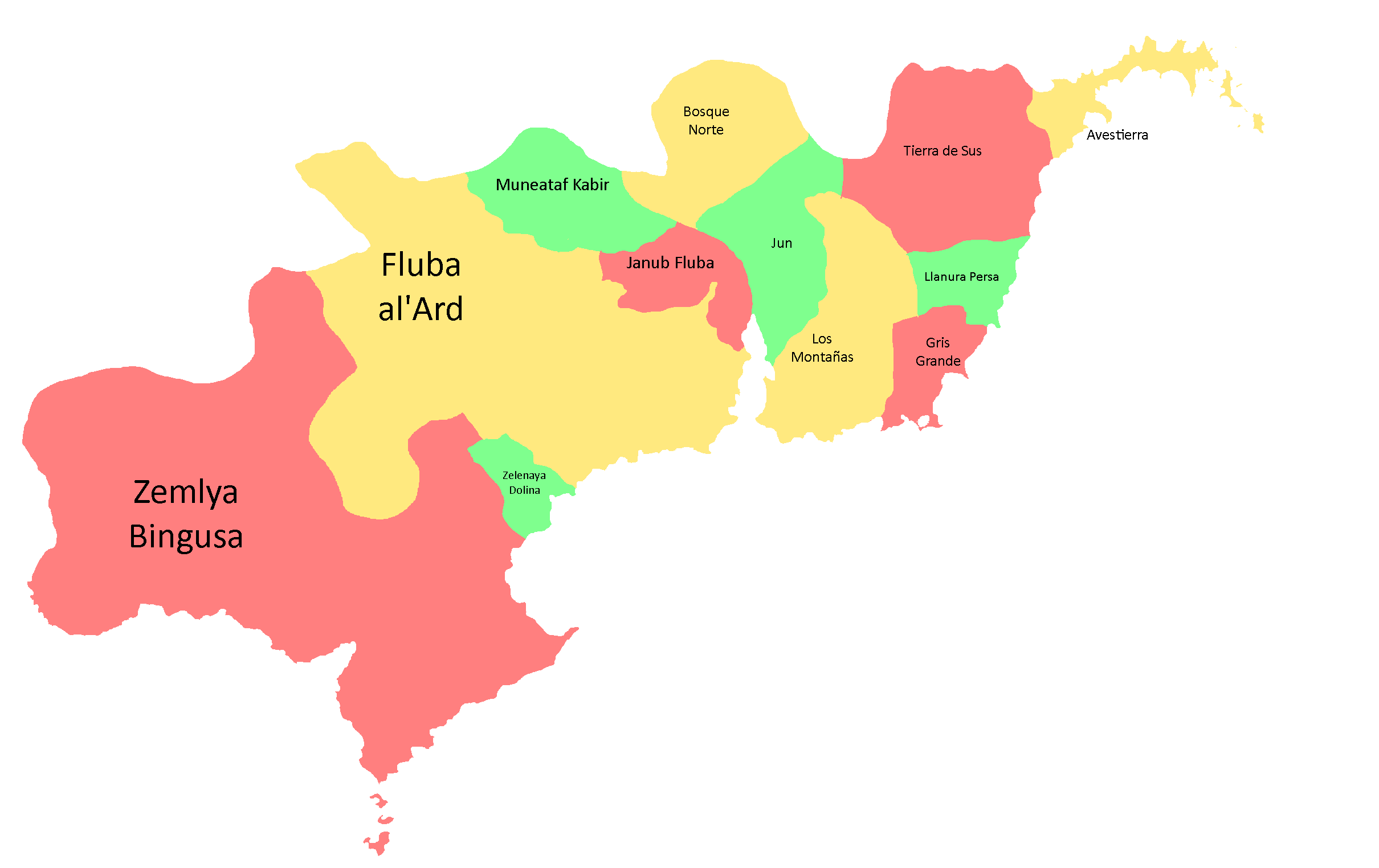
Provinces of Swagonia: Year 218
-
![Swagonian Provinces by Type[13]: Year 218](/yatawiki/images/9/9f/Swagoniaprovincetypes.png)
Swagonian Provinces by Type[13]: Year 218
-
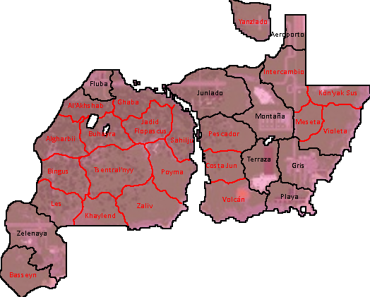
Counties of Swagonia: Year 253
-
Counties of Swagonia: Year 254

![Swagonian Provinces by Type[13]: Year 218](/yatawiki/index.php/File:Swagoniaprovincetypes.png)


Tanumian Maps
-
Languages of Tanume: Year 152

Tritonian Maps
-
Tritonian Regions: Year 90
-
Tritonian Regions: Year 91
-
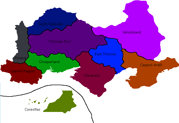
Tritonian Regions: Late Year 91
-
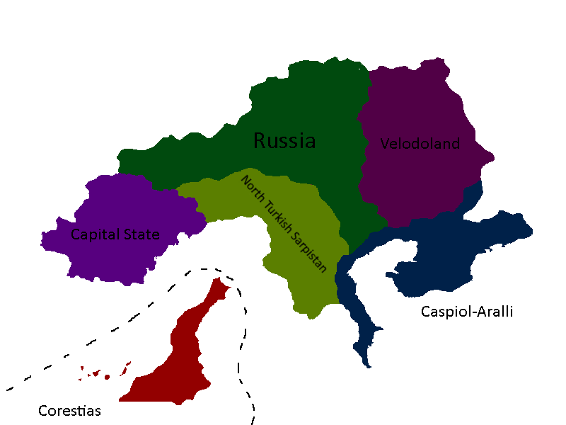
Tritonian Regions: Year 96
-
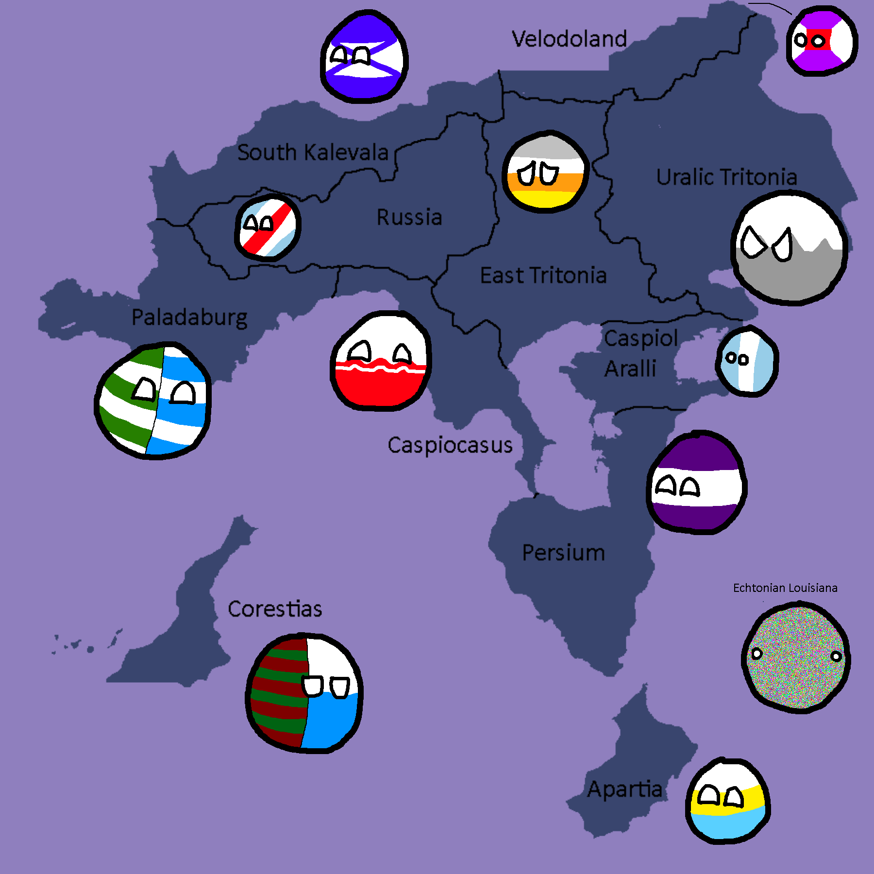
Tritonian Regions: Year 101
-
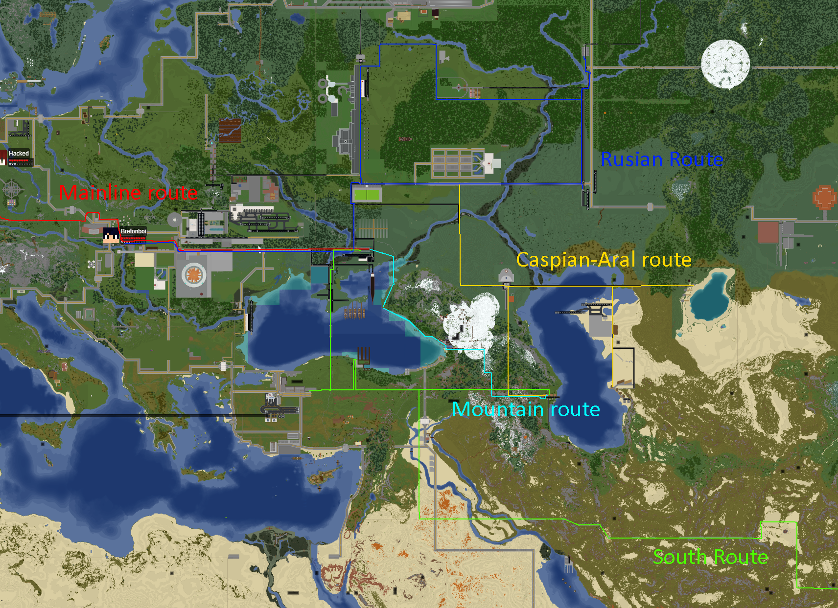
Tritonian Railways: Year 106
-
Member-Republics of the Union of Quatritonian Socialist Republics: Year 114
-
Languages of Quatritonia: Year 115
-
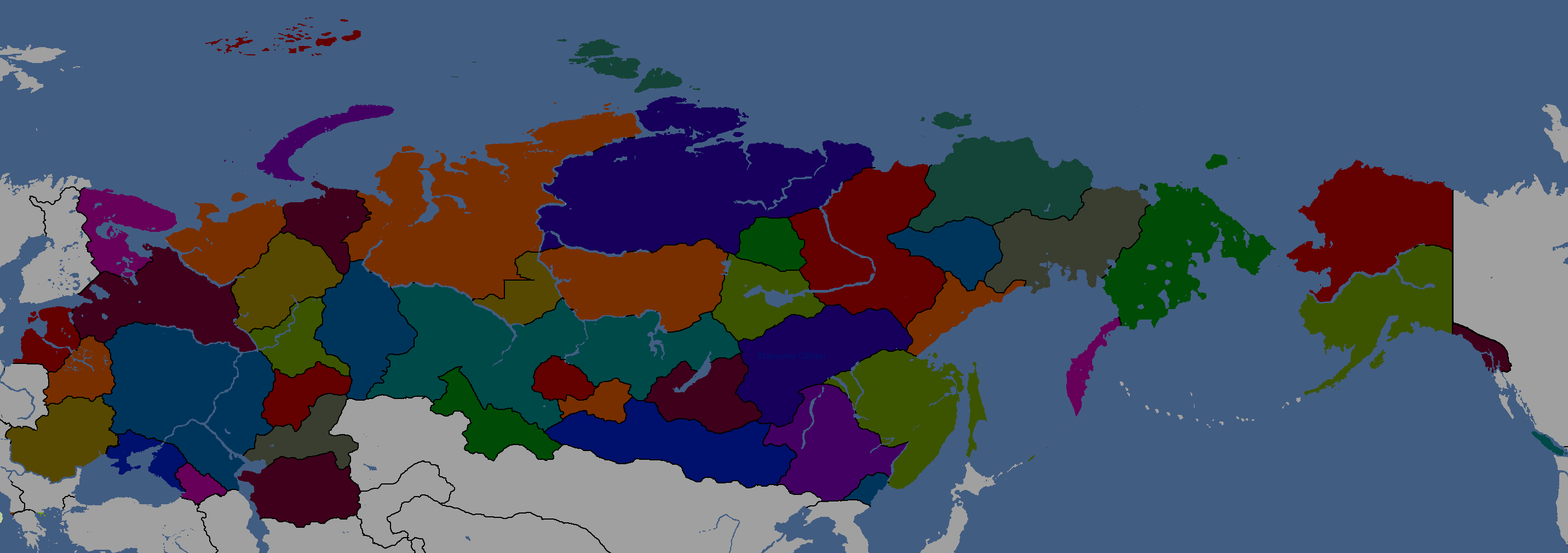
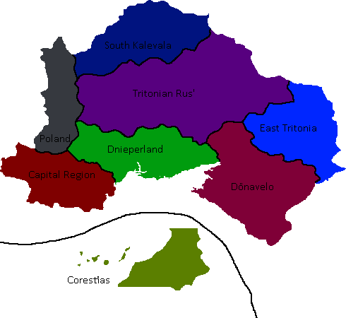
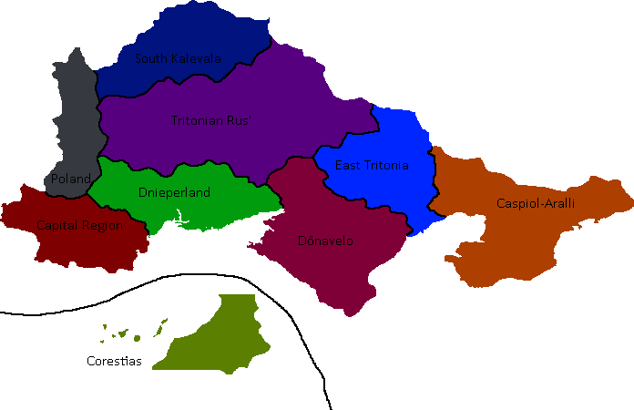
Red = Original Tritonia, Green = Current Tritonia, Yellow ) Tritonia at height: Year 135
-
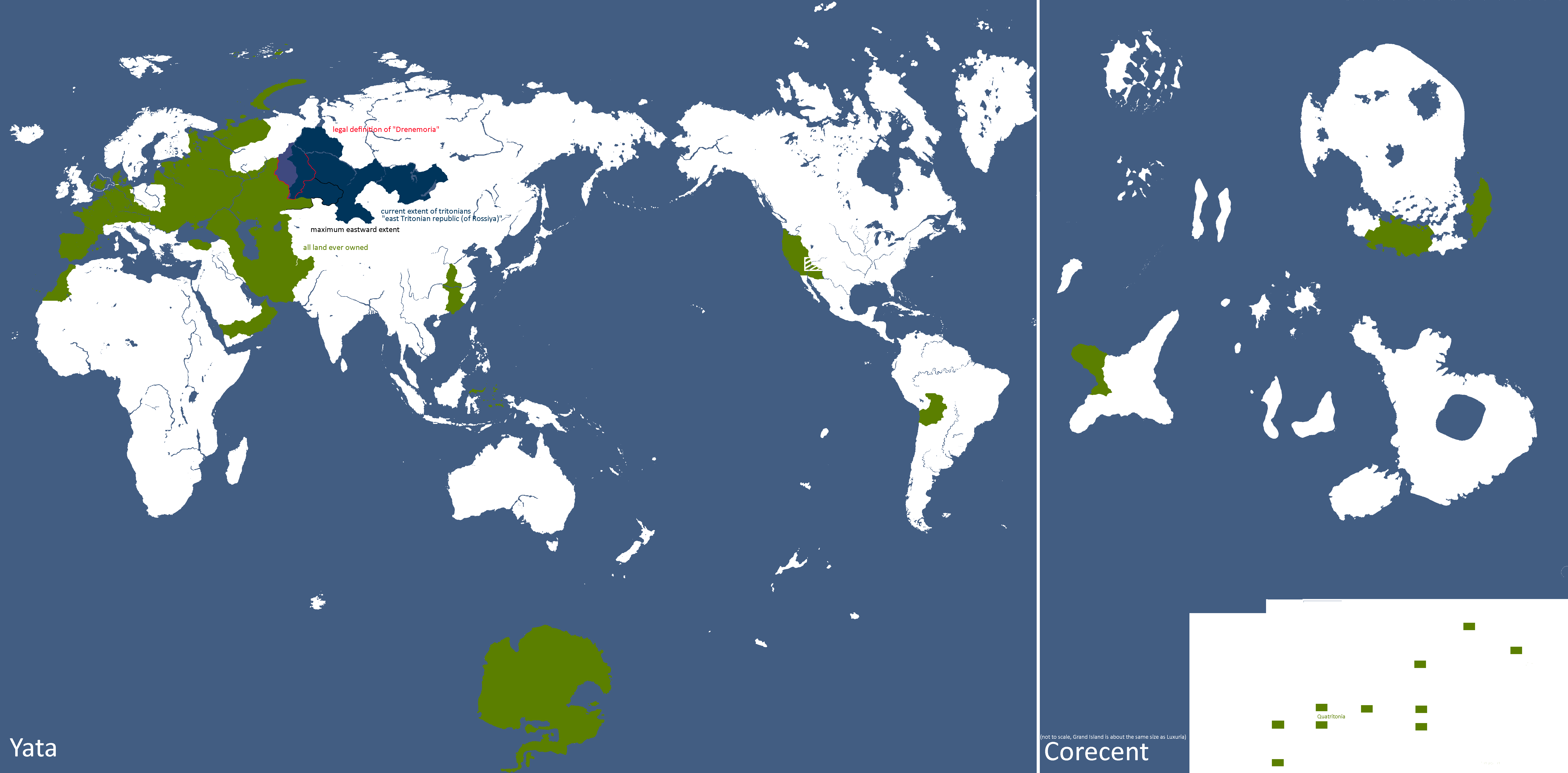
Lands Tritonia has owned across history: Year 175
-
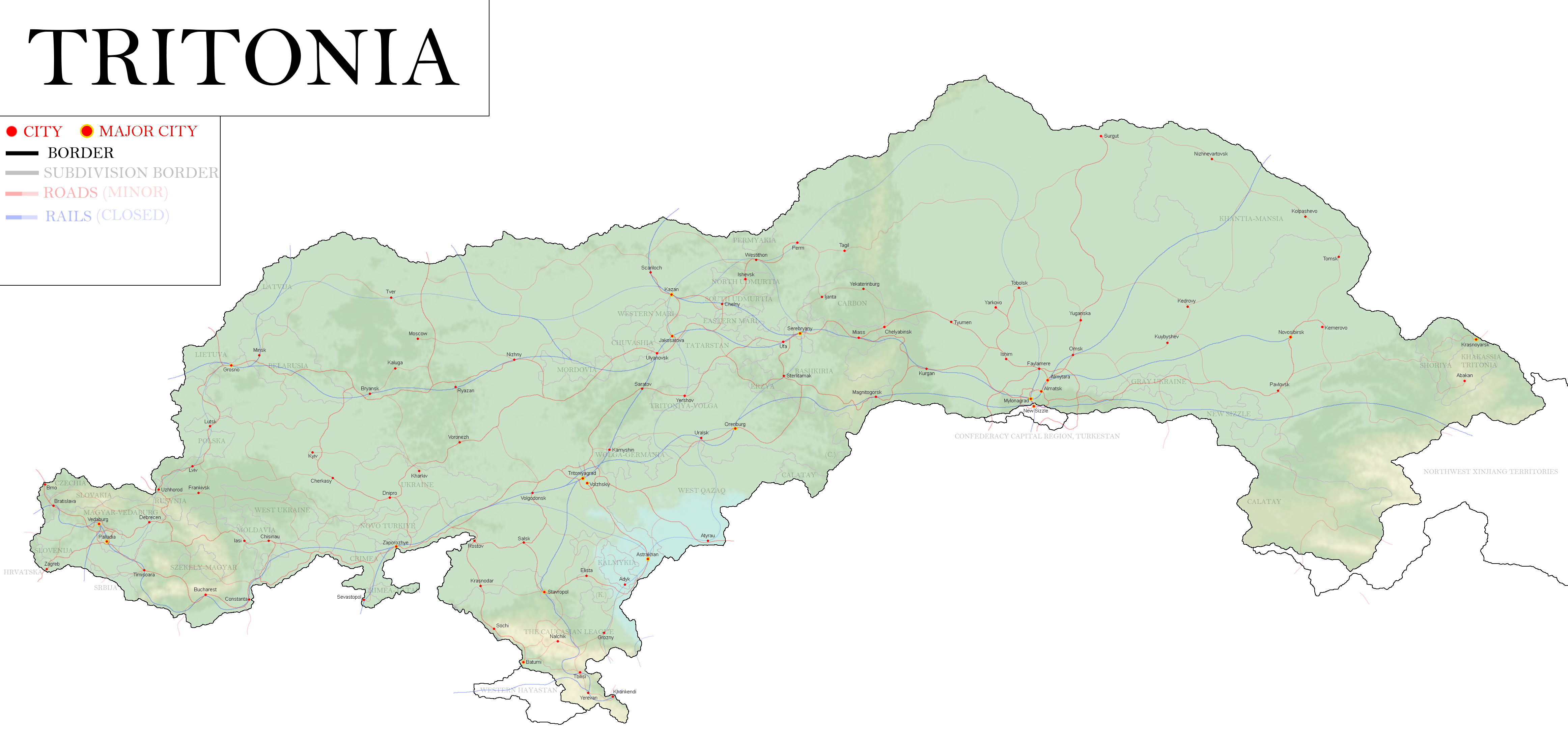
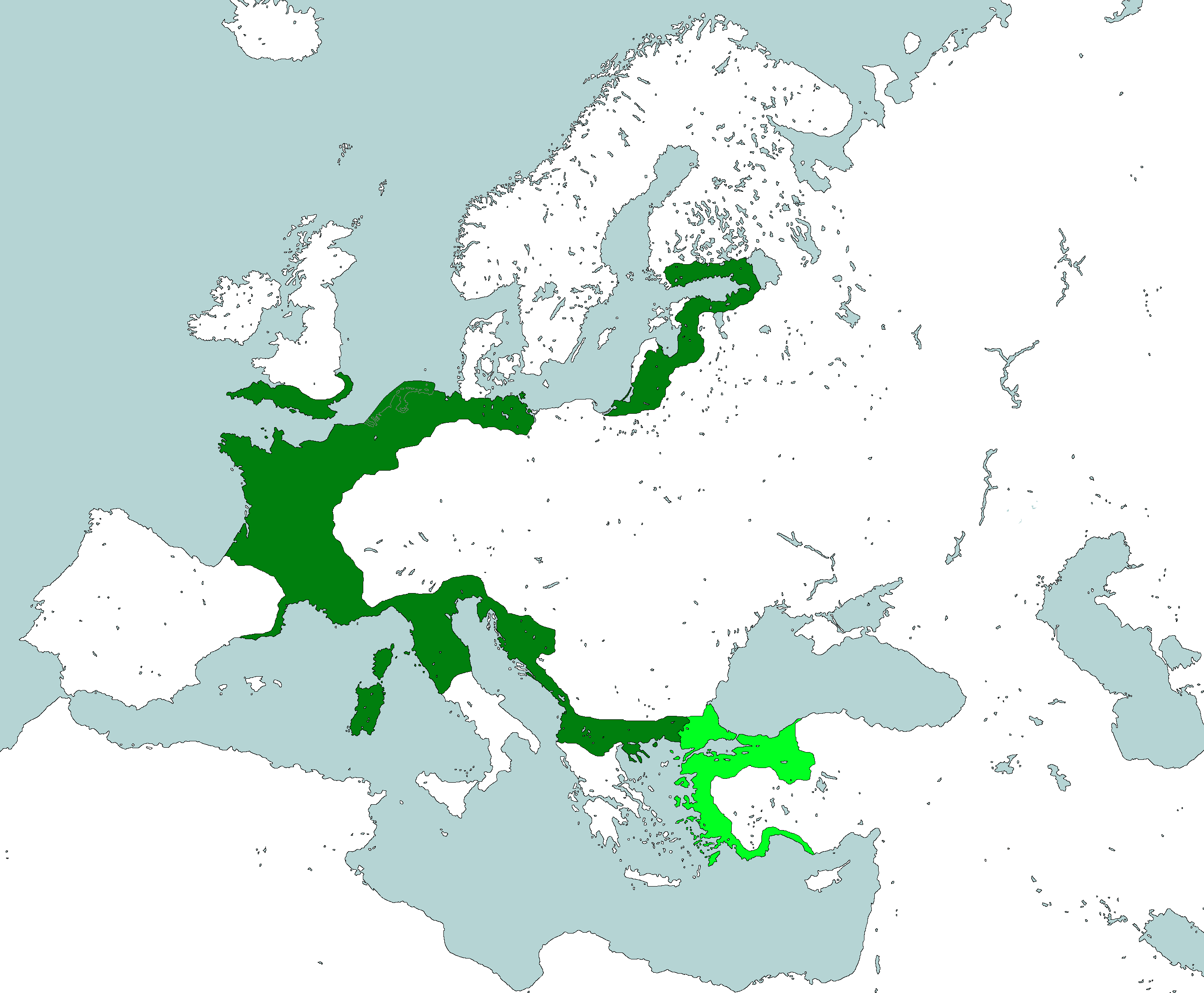
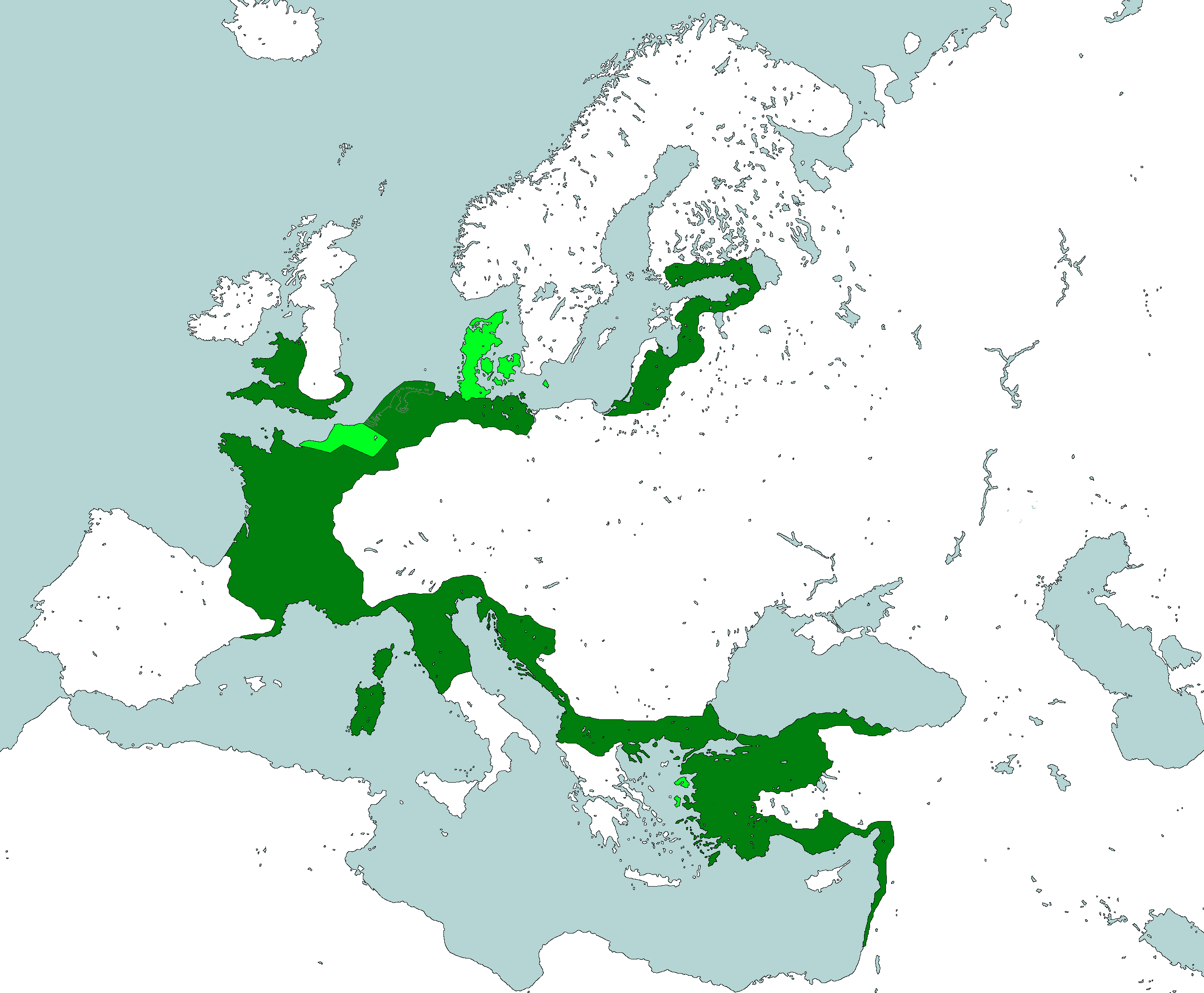
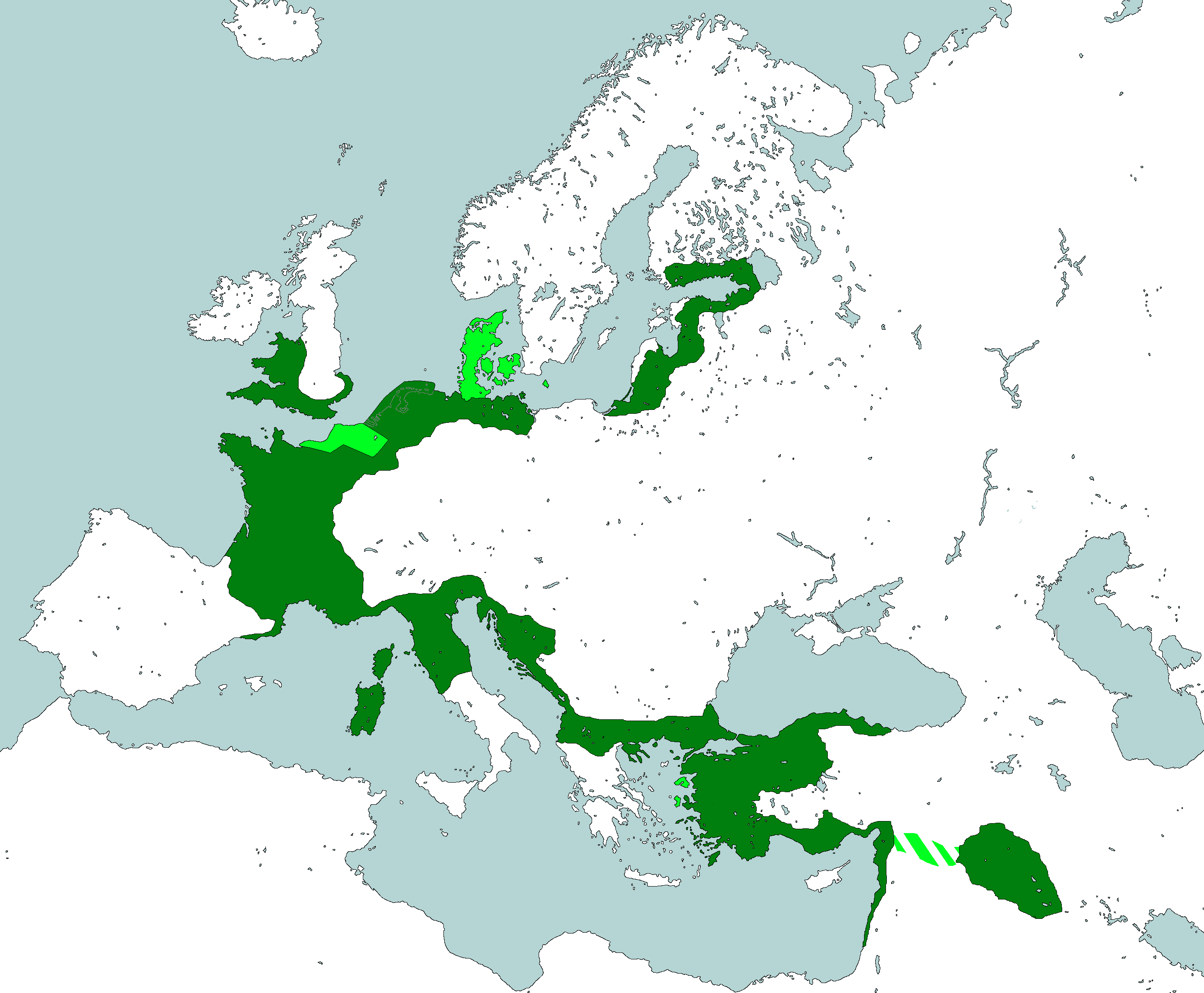
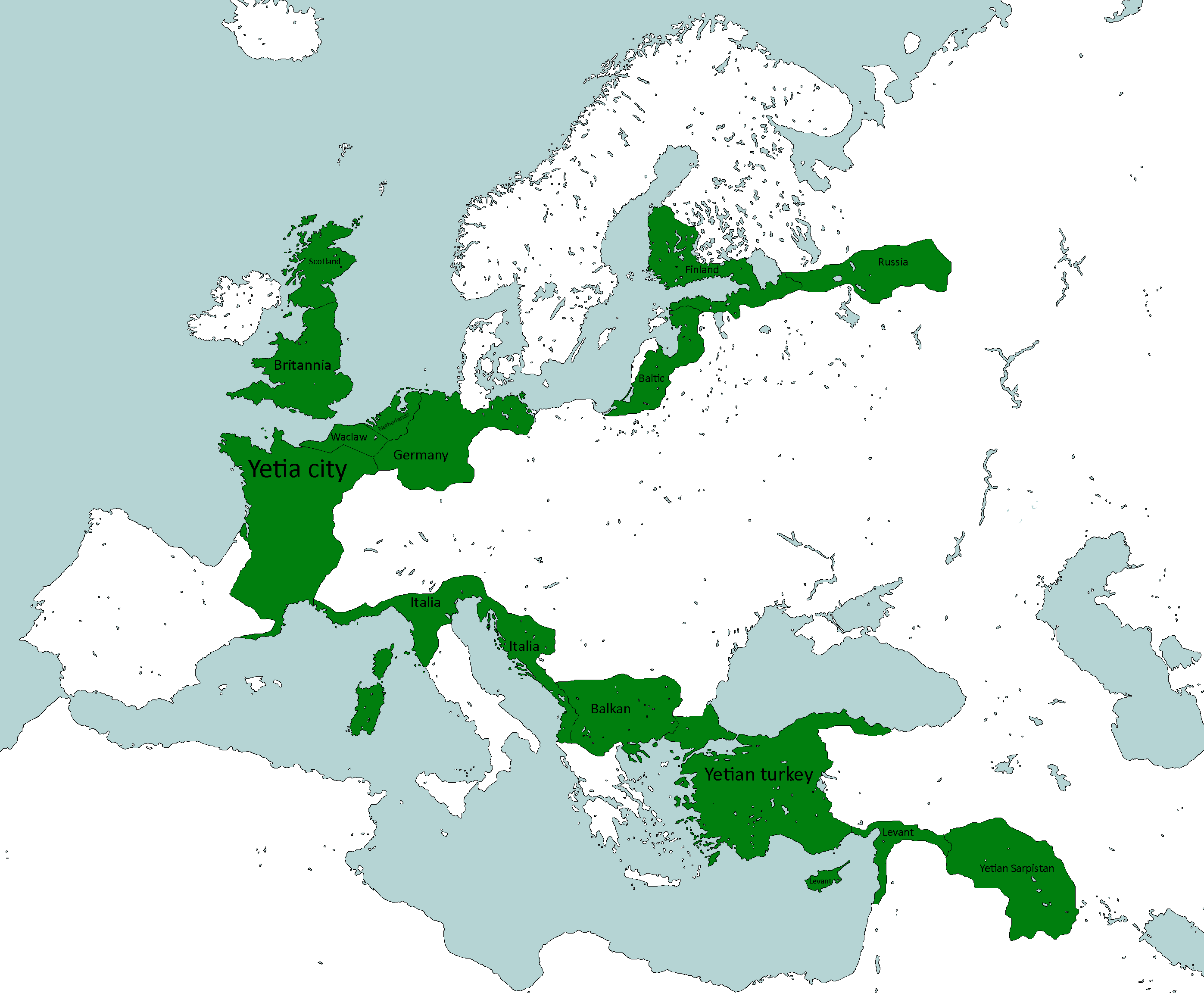
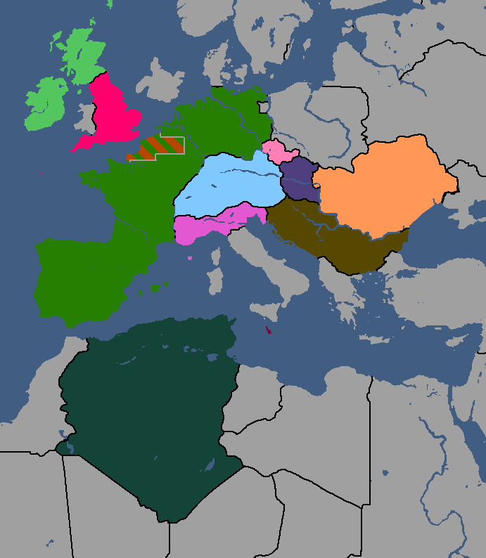
Map of Tritonia: Year 377


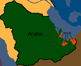
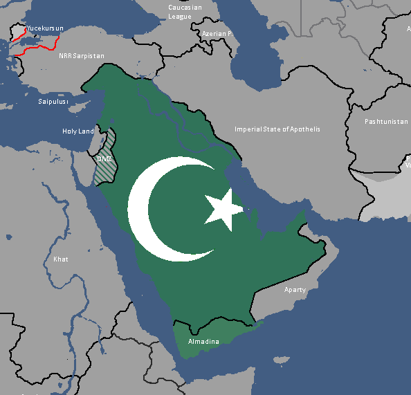
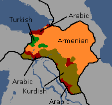
UAR/Arab Federation Maps
-
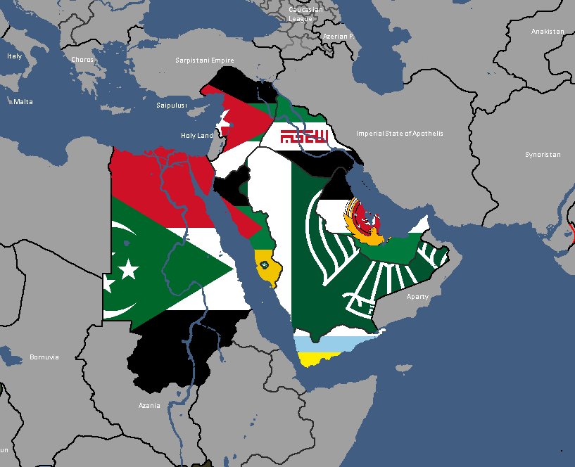
Map of UAR States: Year 365
-
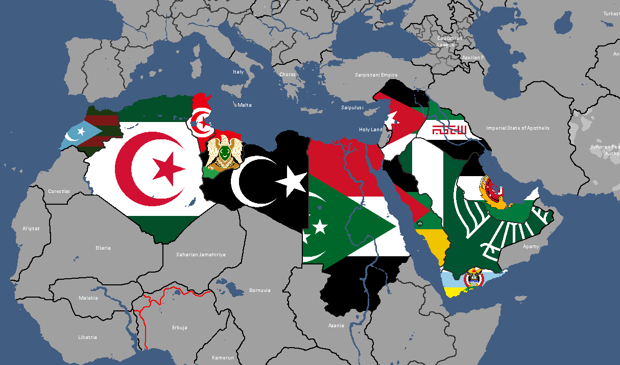
Map of UAR States: Year 368


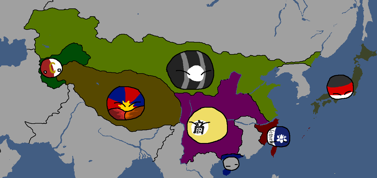
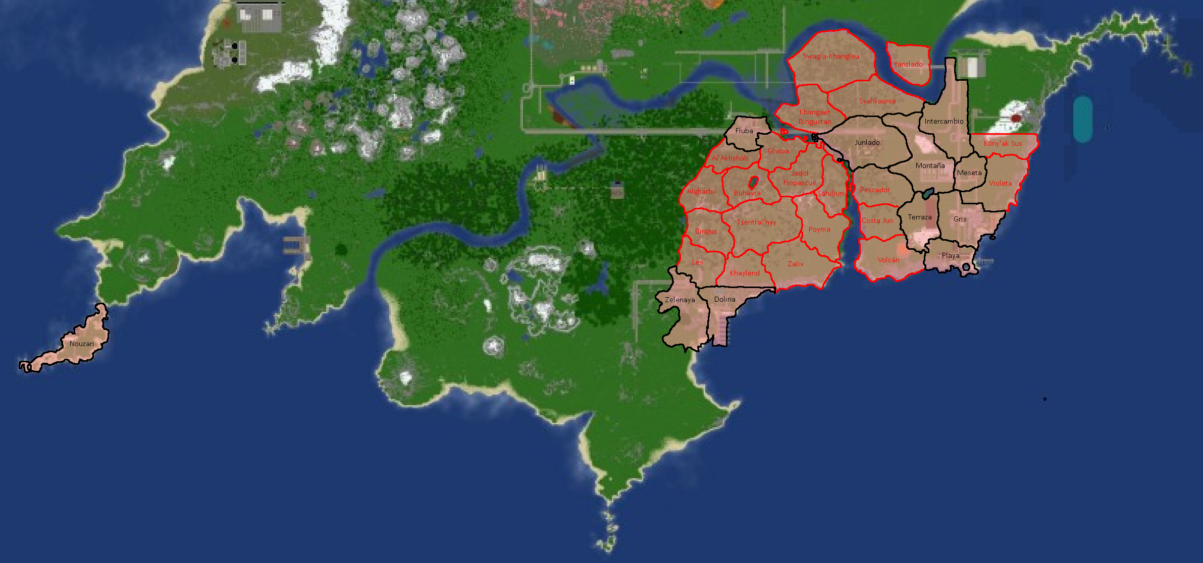
UFR/Floppastani Maps
-
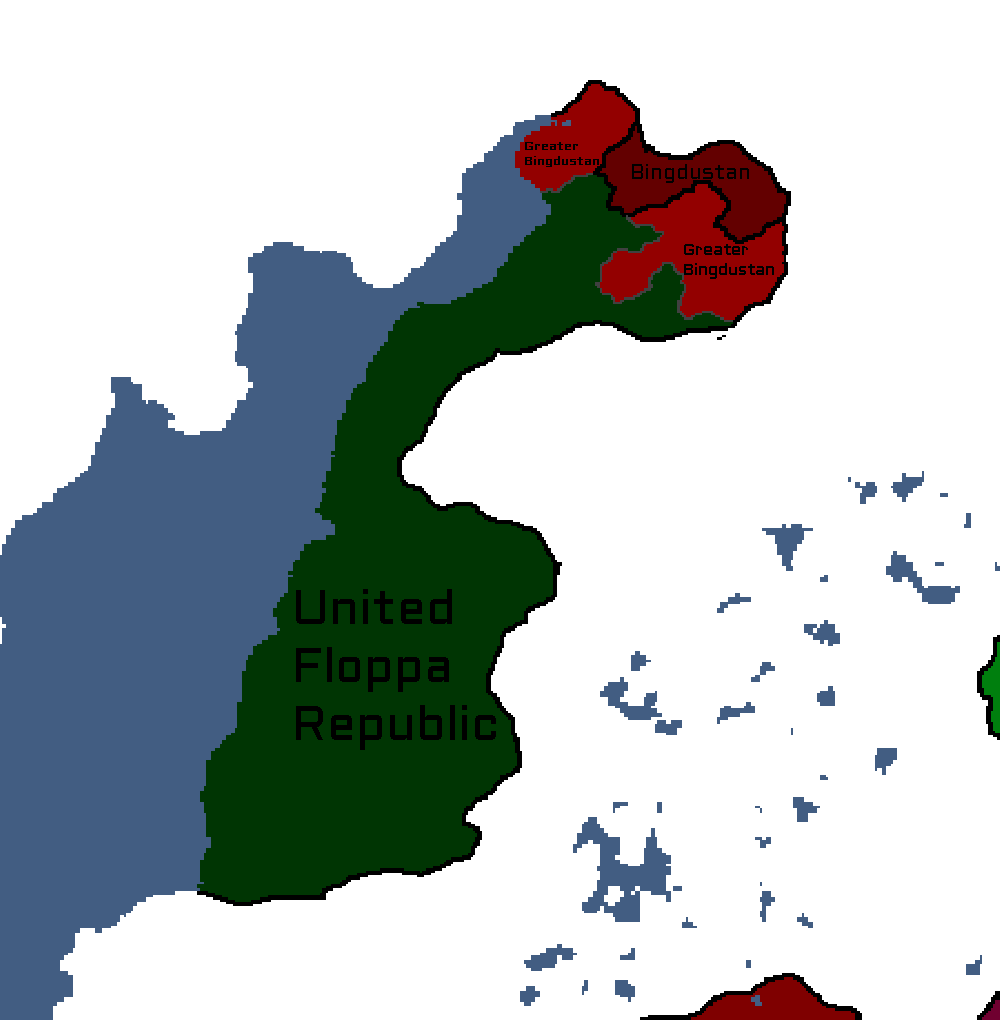
Map of the Bingdustan autonomy in the UFR

Utsongan Maps
-
Languages of Utsong: Year 114
-
Utsong's Population Distribution: Year 114


Vedan Maps
-
Vedan Districts: Year 103

Waclawan Maps
-
Map of Waclaw: Year 172

Yamatoan Maps
-
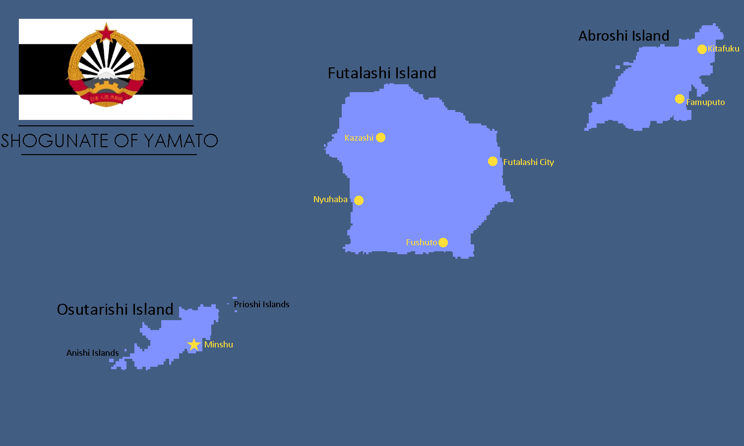
Map of Yamato: Year 245

Yatan-Theian Accord Maps
-
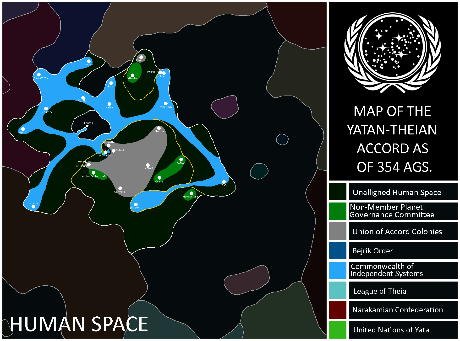
Map of the Accord: Year 354
-
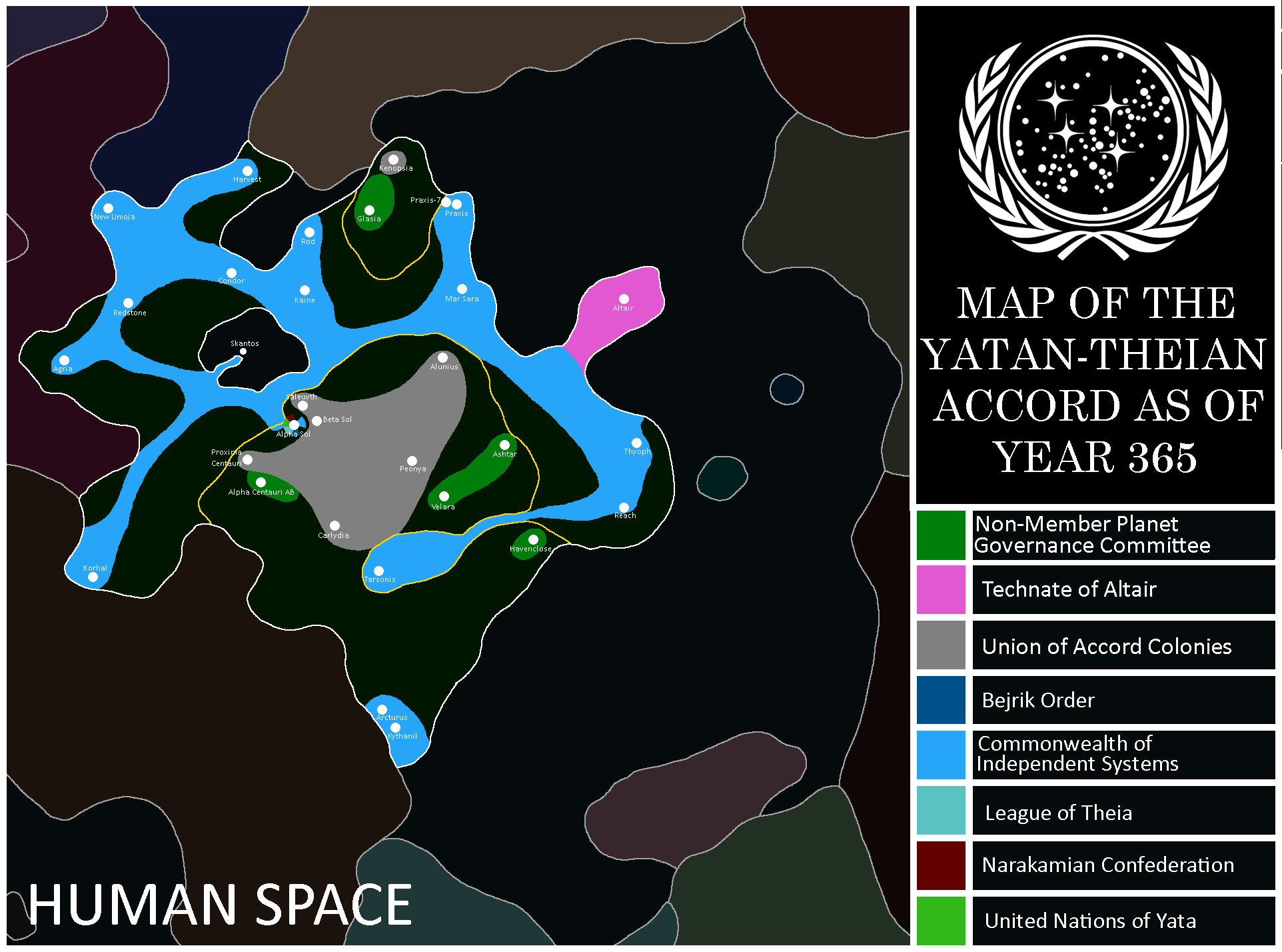
Map of the Accord: Year 365
-
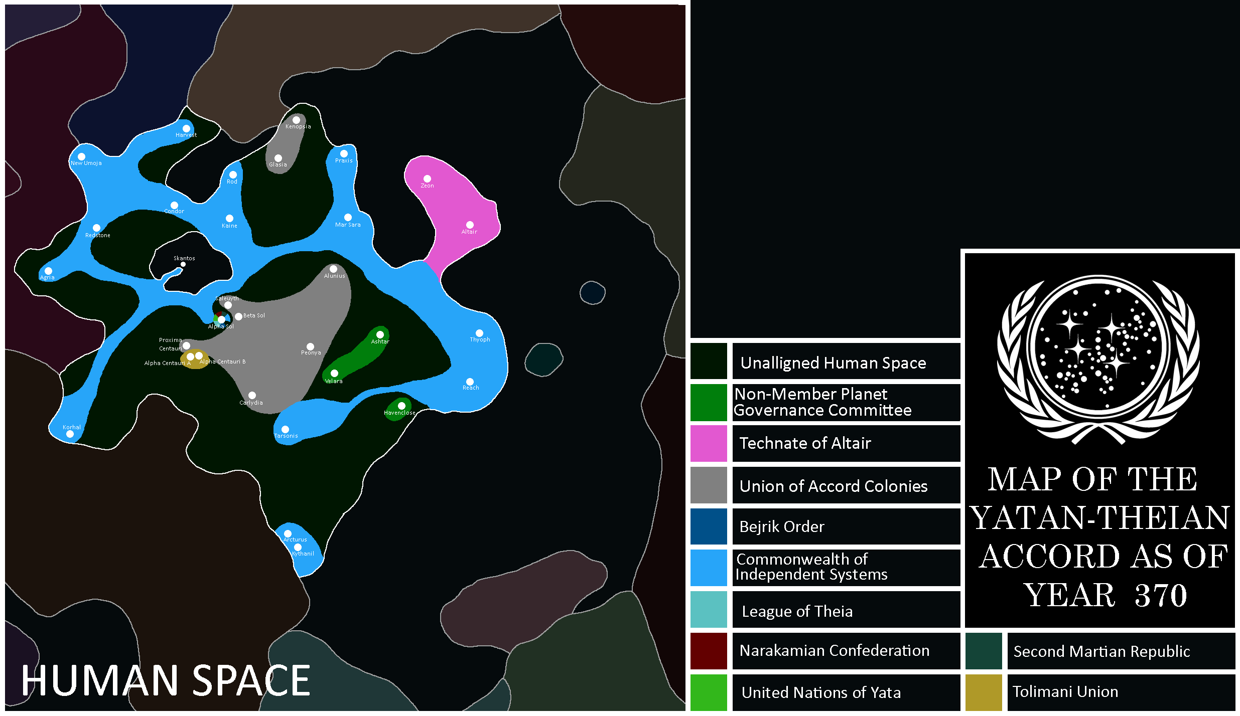
Map of the Accord: Year 370


Yetian Maps
-
Lost Archives Map: Yetia 1
-
Lost Archives Map: Yetia 2
-
Lost Archives Map: Yetia 3
-
Lost Archives Map: Yetia 4
-
Lost Archives Map: Yetia 5
-
Yetian Provinces: Spring 2019
-
Yetian Provinces
-
Map of where The Newtown Project was developed
-
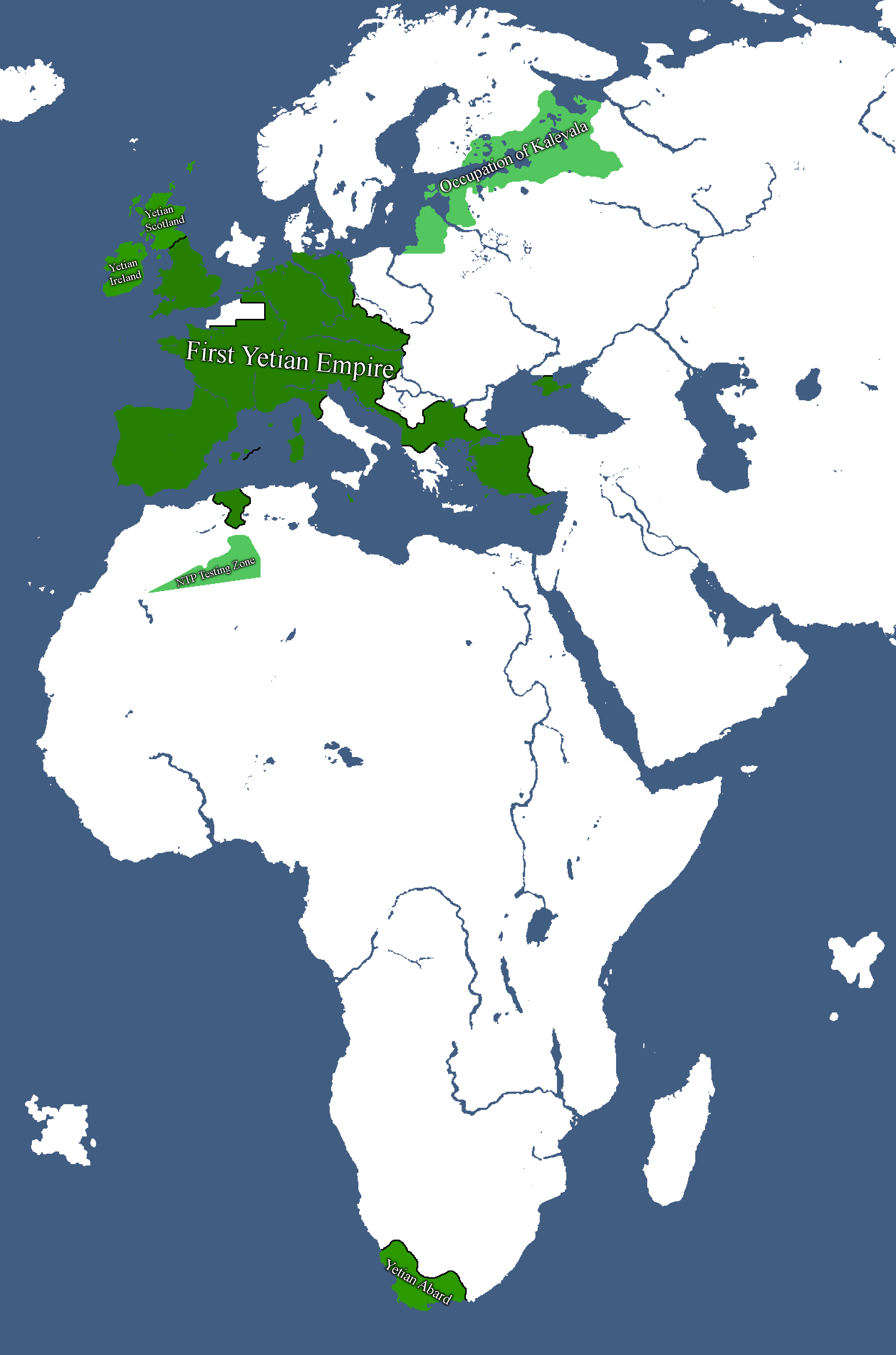
Map of the First Yetian Empire
-
Map of which country captured what in yetia during WW5
-
Yetian Provinces: Year 90
-
Yetian Provinces: Year 108
-
Yetian Languages: Year 112
-
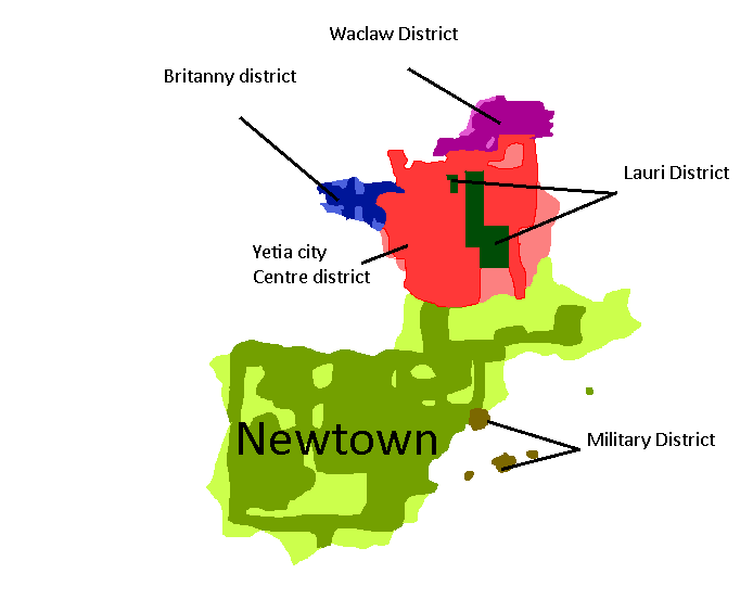
Districts of Yetia City: Year 114
-
Yetian Languages: Year 115
-
Yetian Provinces: Year 119 (Countryballs)
-
Yetian Provinces: Year 119
-
Yetian Provinces: Year 119 (Nameless)
-
All territories ever ruled by Yetia: Year 121
-
Governorates of the Yetian State: Year 122
-
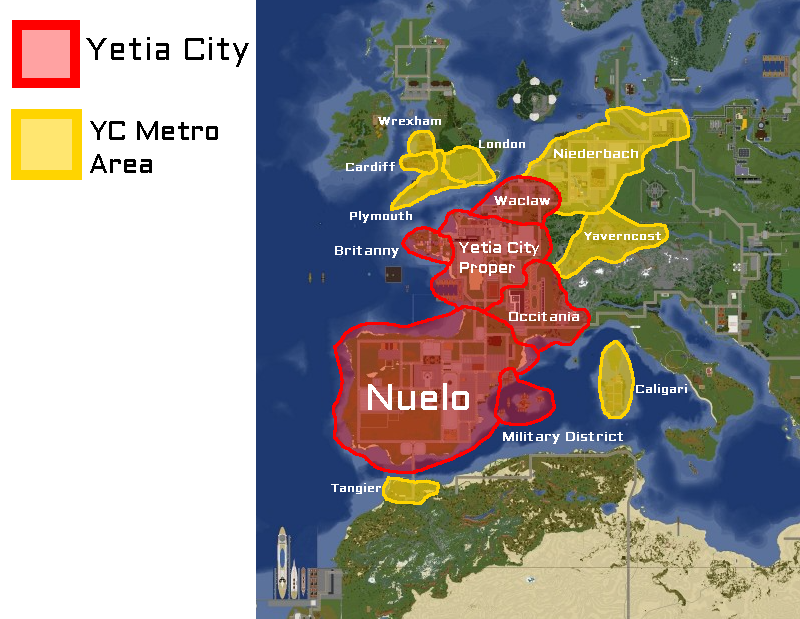
Boroughs of Greater Yetia City: Year 225
-
Map of the Yetian Old Metro: Year 225
-
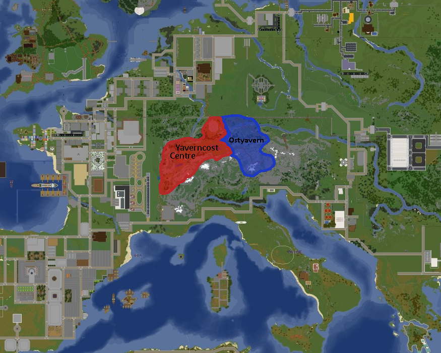
Map of Yaverncost: Year 237
-
Yetian Federal Provinces: Year 362


Yorican Maps
-
Yorican States: Year 117
-
Yorica Overlay: Year 117
-


Other Maps
-
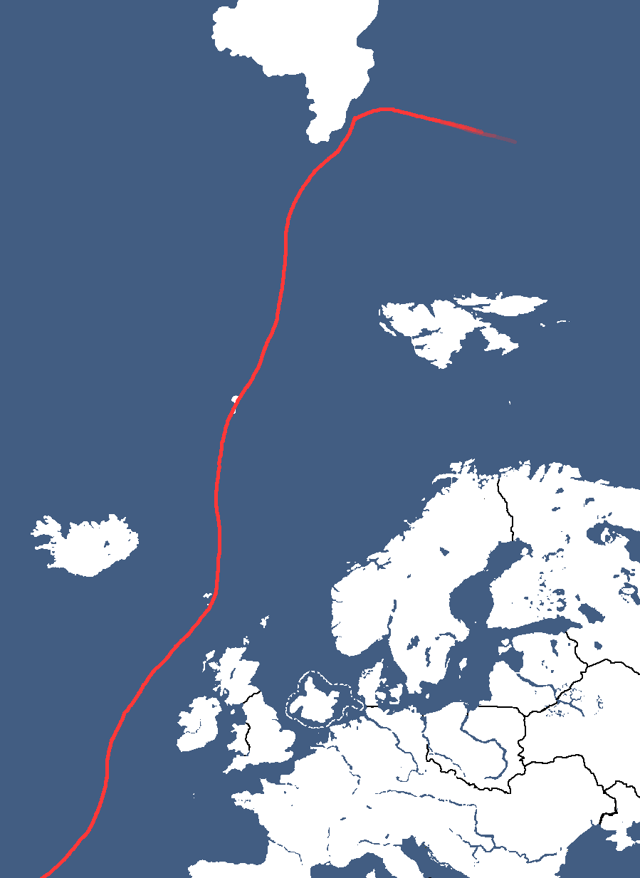
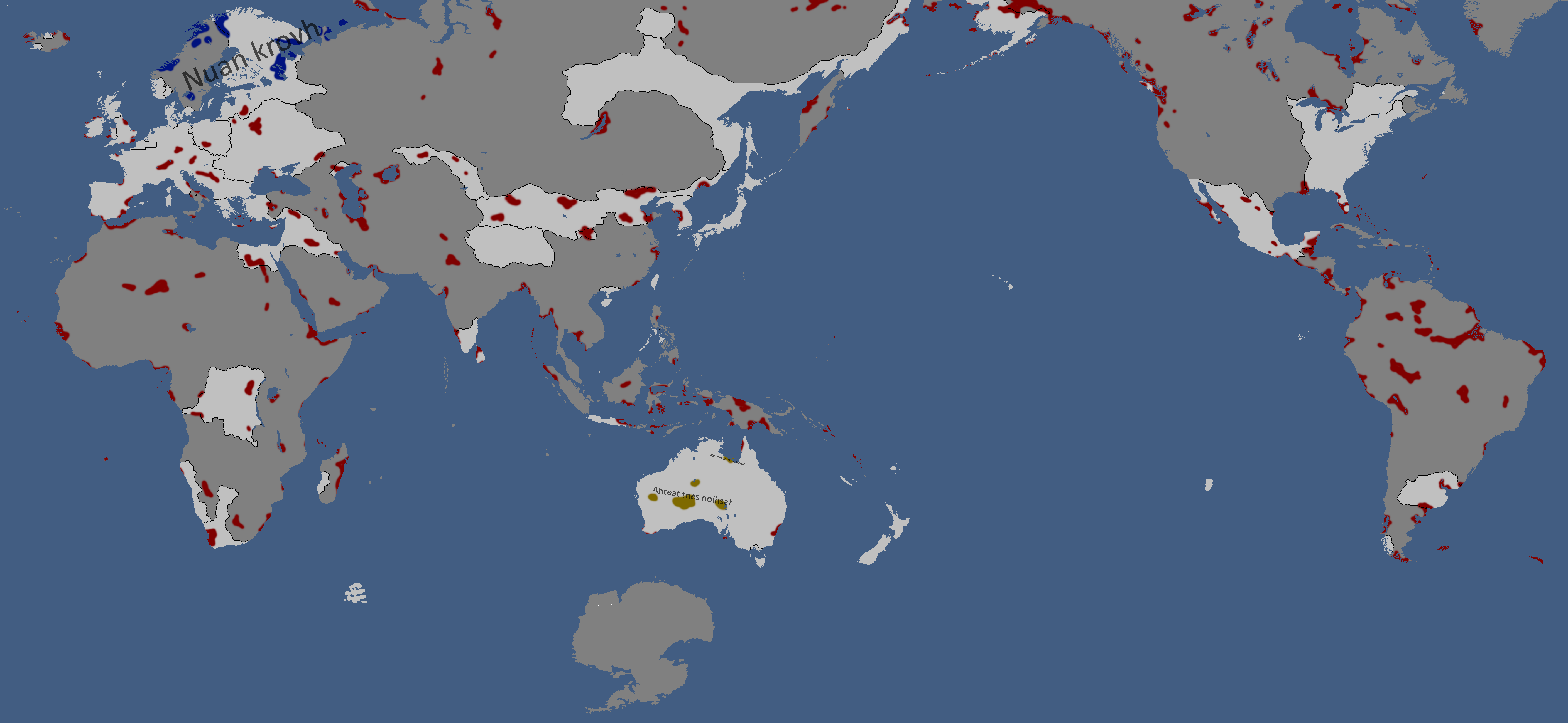
Map of the Alyphia Current
-
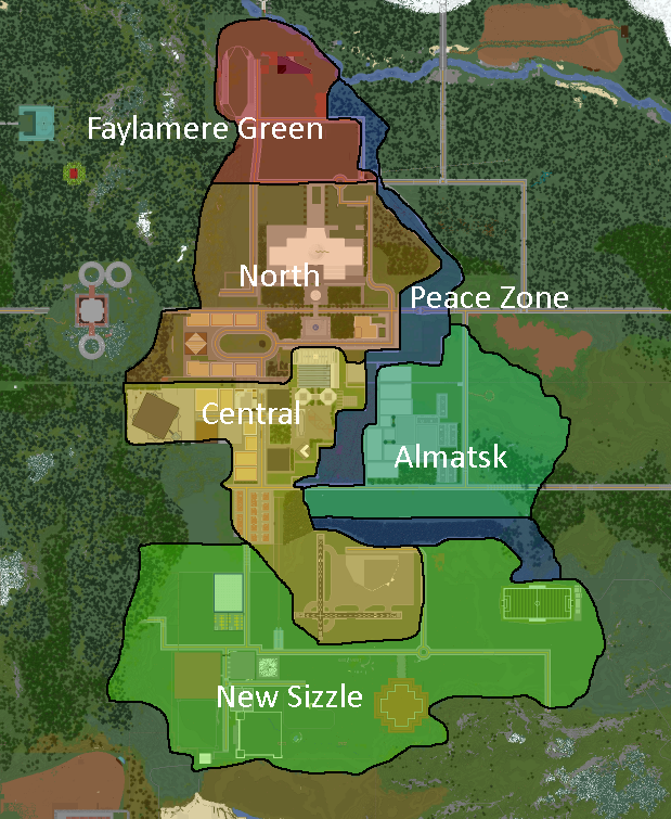
Neighbourhoods of New Mylatsk


- ↑ red: NOT DEMOCRATIC, yellow: idfk in the middle, green: DEMOCRATIC :)
- ↑ 🔴 - Absolute Monarchy, 🟠 - Semi-Constitutional Monarchy, 🟡 - Constitutional Monarchy, 🔵 - Republic
- ↑ Dark Blue: Orthodox Christianity (Including Eastern Orthodoxy), Blue: Catholic Christianity, Light Blue: Protestant Christianity, Dark Green: Shi'a Island, Normal Green: Sunni Islam, Light Green: Ibadi Islam, Purple: Judaism, Yellow: Buddhism, Orange: Hinduism, Brown: Folk Religions, Gray: State Atheist
- ↑ ⚫ - Doesn't have nuclear weapons, 🔴 - Formerly had nuclear weapons (Weapons disarmed or otherwise destroyed), 🟡 - Nuclear weapons owned by other nations stationed there, ⚪ - Has nuclear weapons
- ↑ Darkest = ESC/RCC Member, Middle = Associated State (formally allied to some degree), Lightest = Pro-ESC/RCC
- ↑ 🔴 - Superpower, 🟠 - Great Power, 🟡 - Major Power, 🟢 - Middle Power, 🔵 - Regional Power, 🟣 - Minor Power
- ↑ green = good, red = bad
- ↑ 🟢 - Democracy, 🟡 - Somewhere kinda in the middle, 🔴 - Dictatorship
- ↑ 🔴 - State-Run, 🟠 - Mixed Economy (all variants), 🟡 - Private-Run
- ↑ red: NOT DEMOCRATIC, yellow: idfk in the middle, green: DEMOCRATIC :)
- ↑ 🔴 - Superpower, 🟠 - Great Power, 🟡 - Major Power, 🟢 - Middle Power, 🔵 - Regional Power, 🟣 - Minor Power
- ↑ red: NOT DEMOCRATIC, yellow: idfk in the middle, green: DEMOCRATIC :)
- ↑ red: provinces, cannot be destroyed. green: territories, can be destroyed, cannot be split. blue: unorganized territories, can be split or destroyed